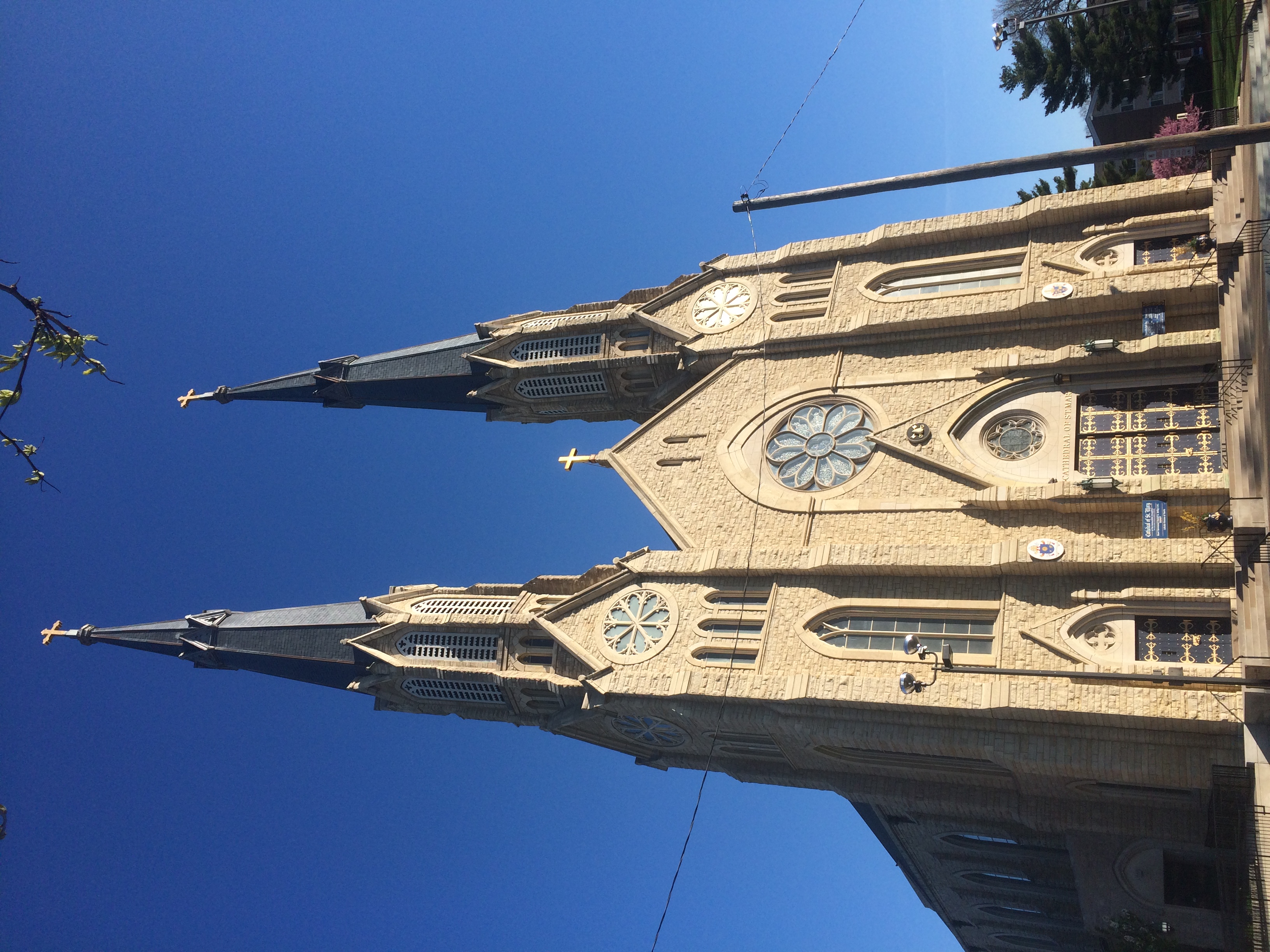
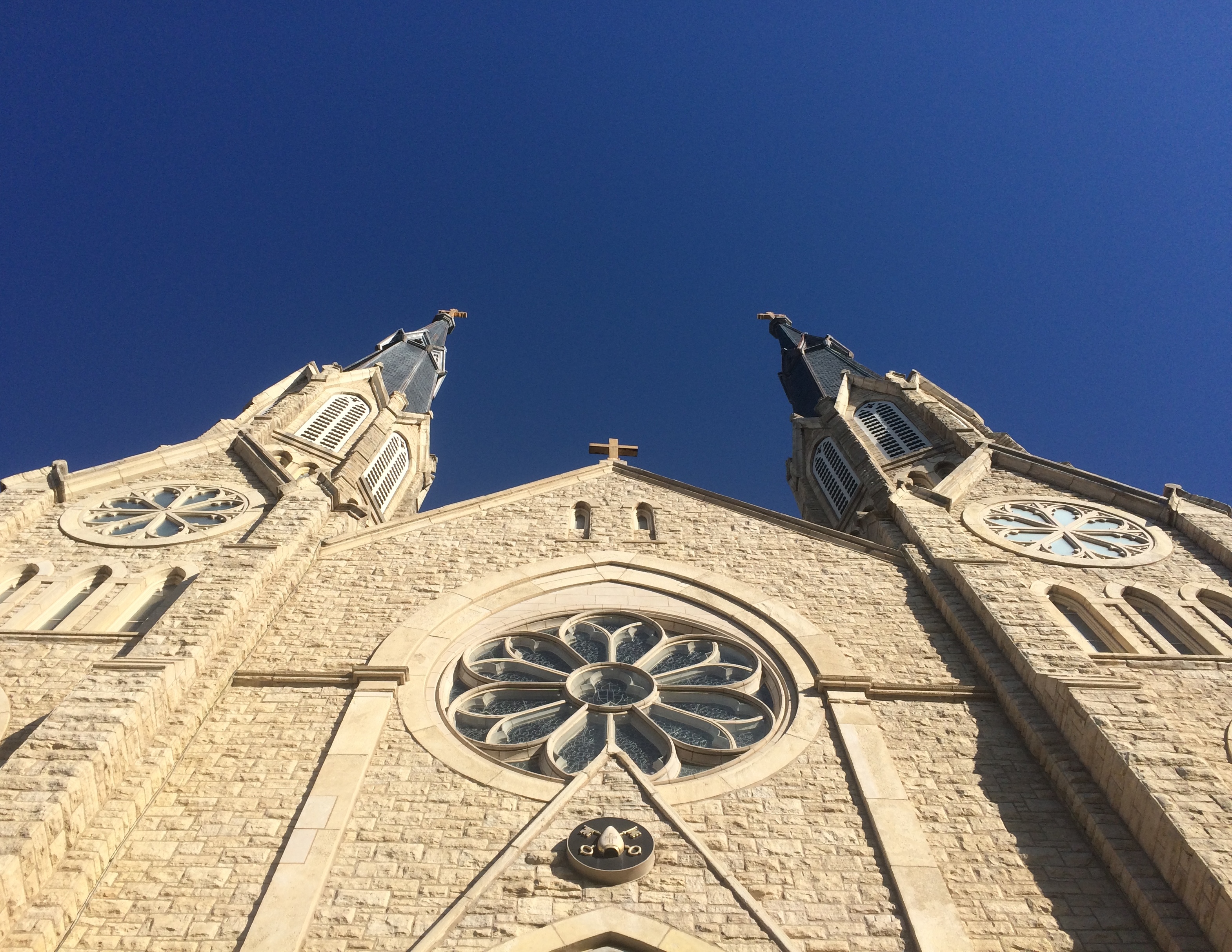
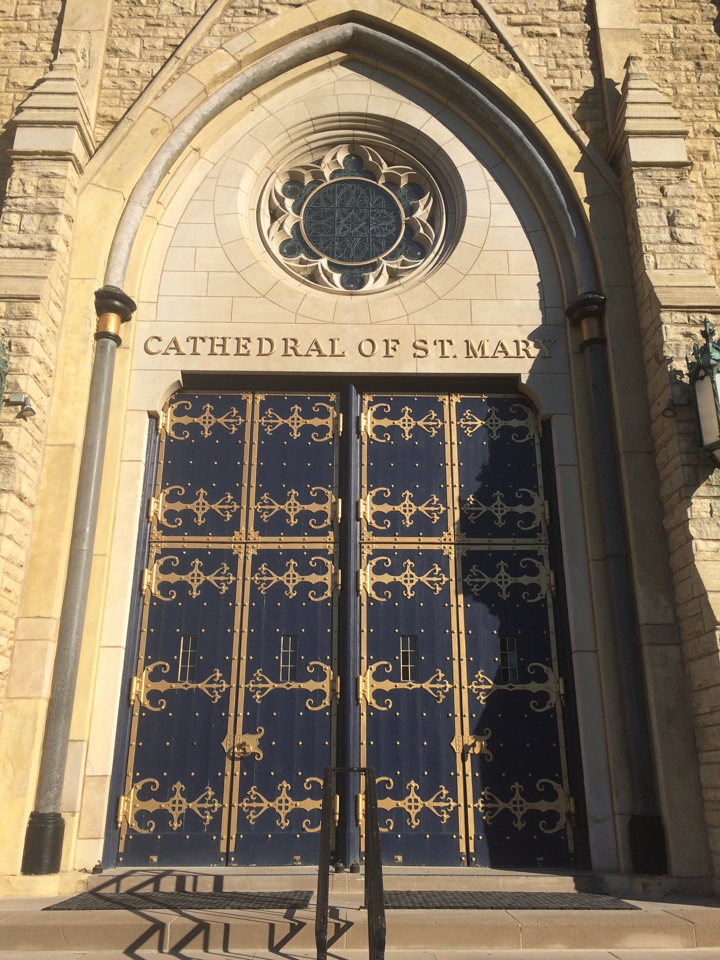
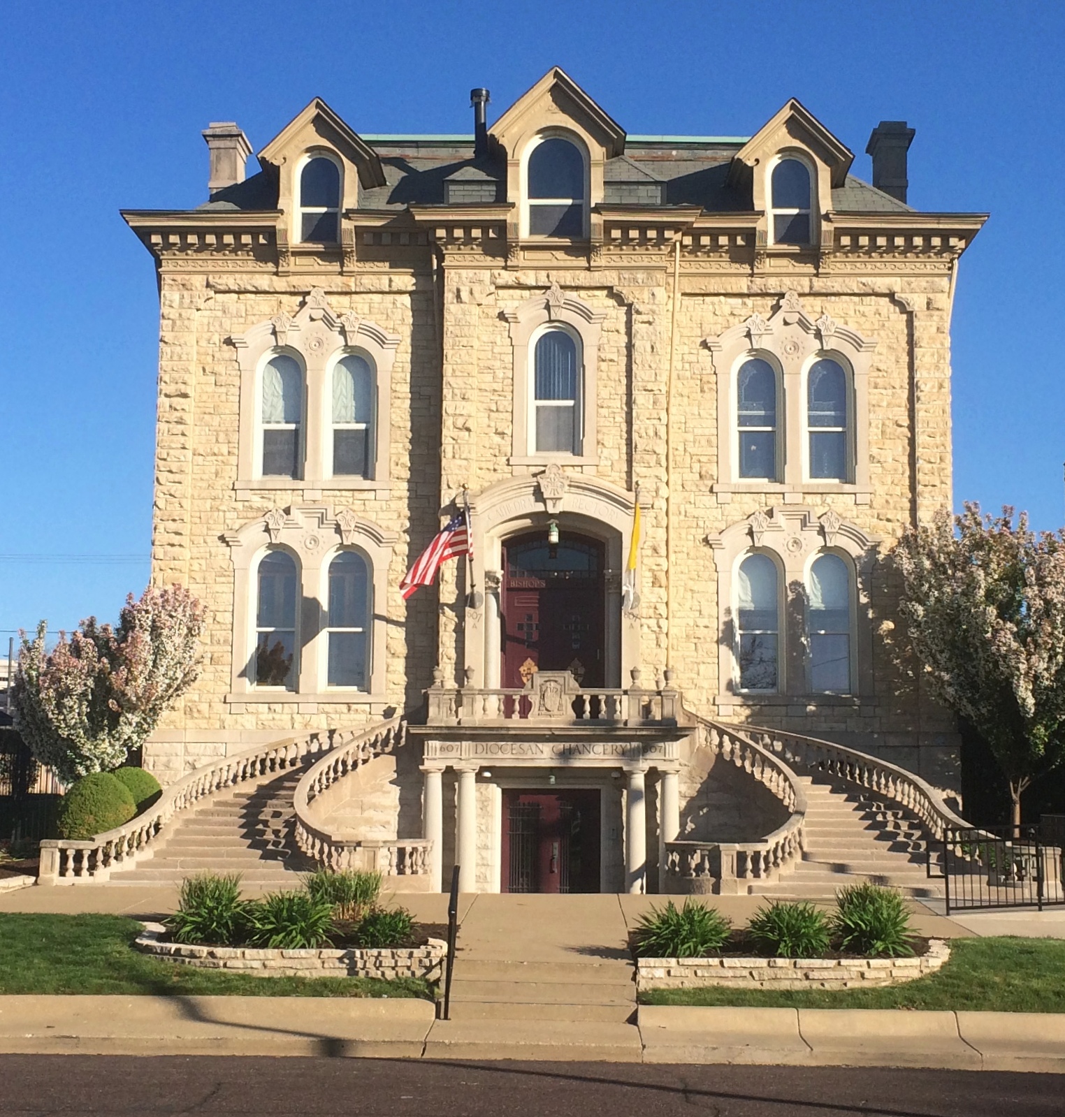
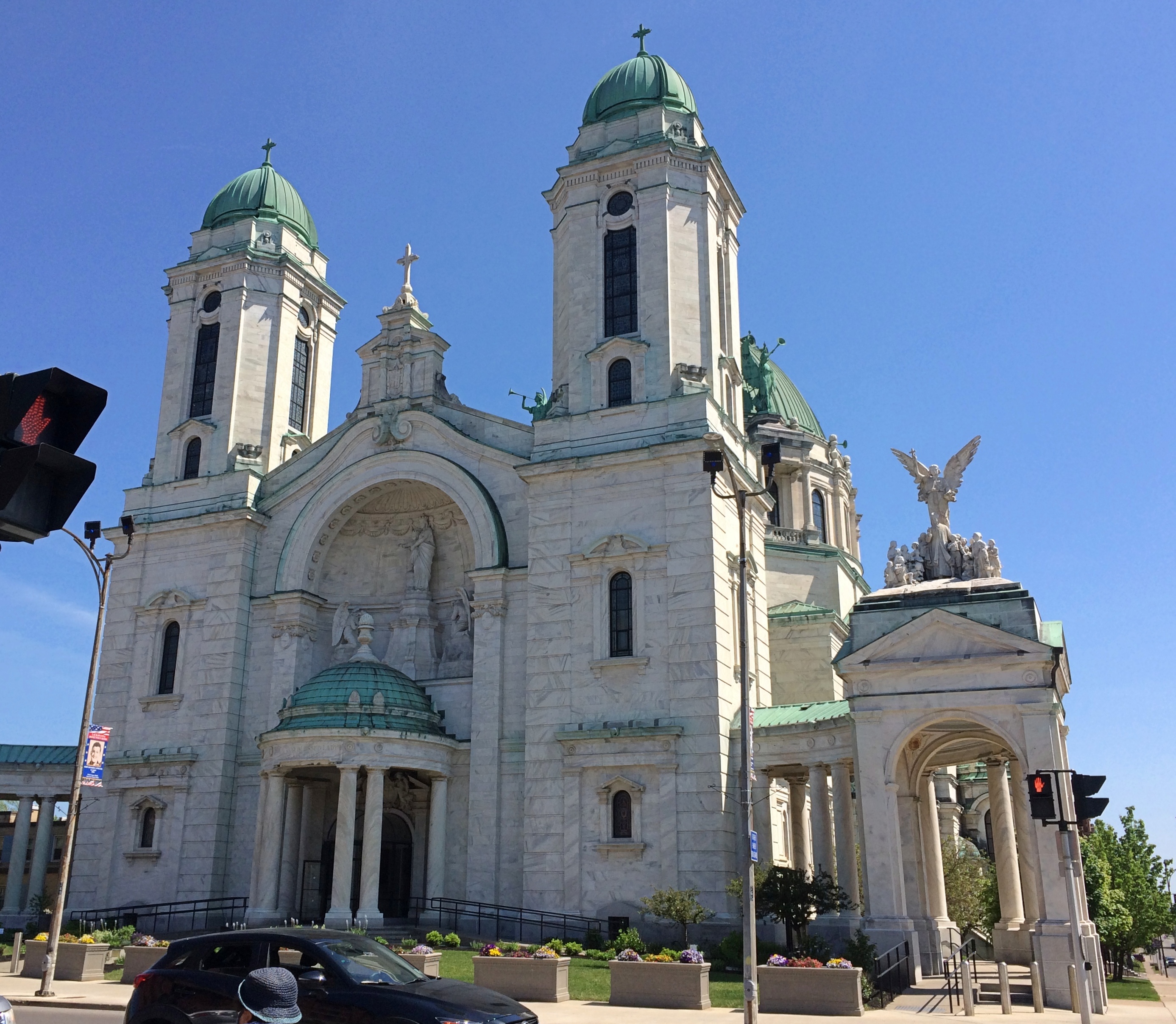
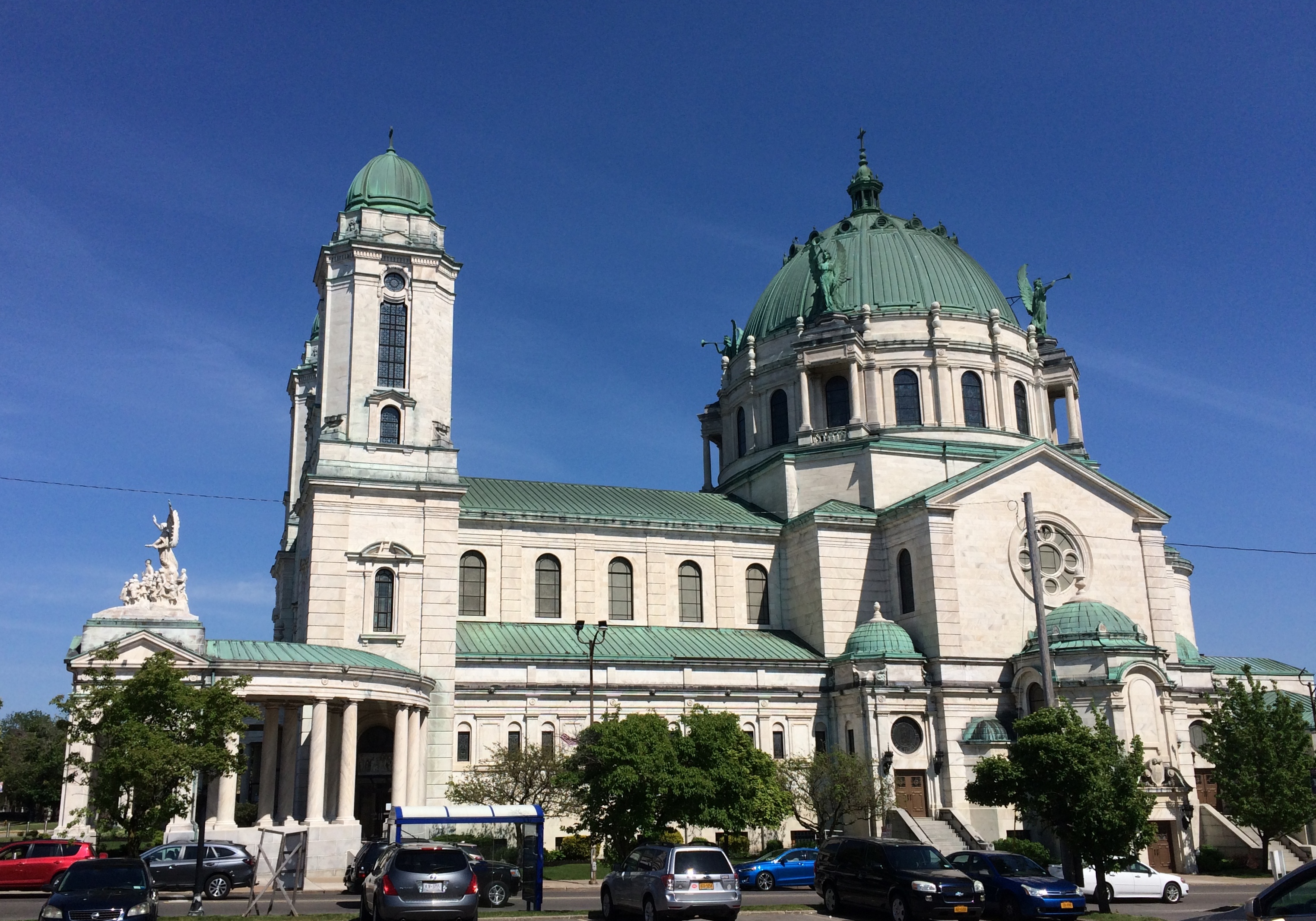
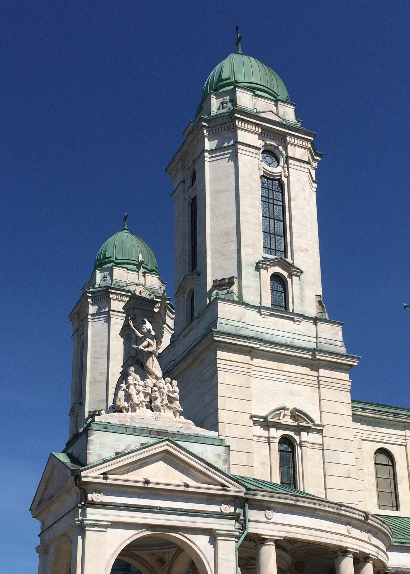
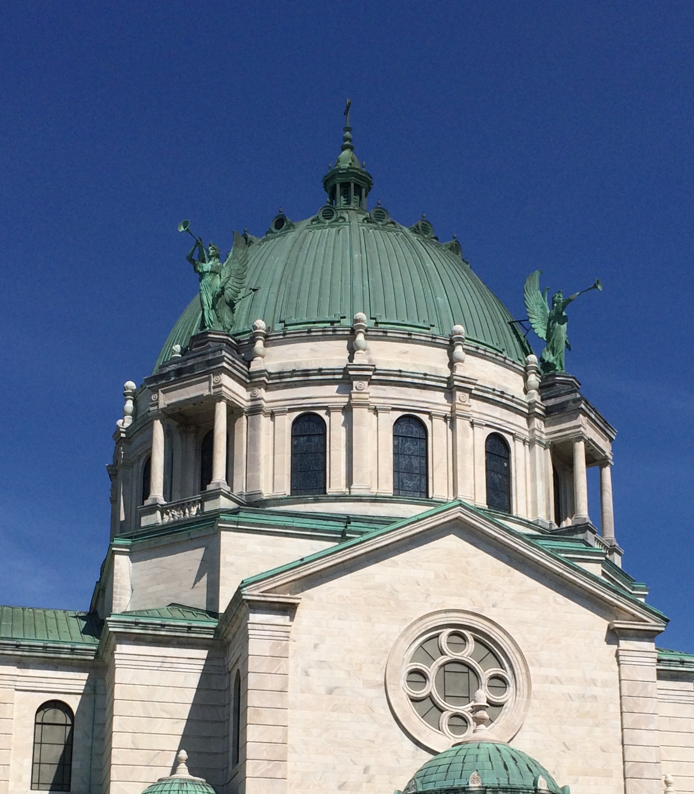
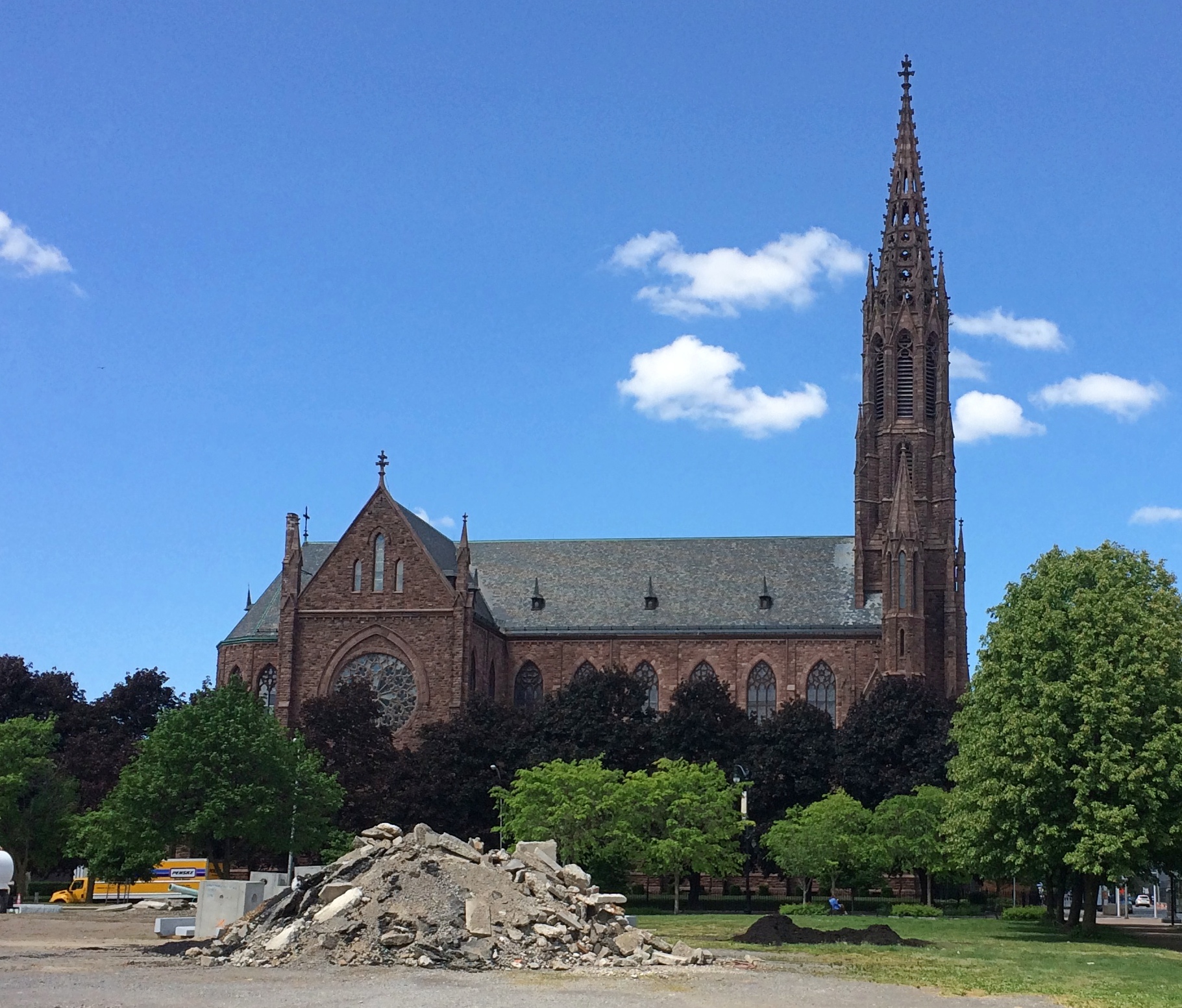
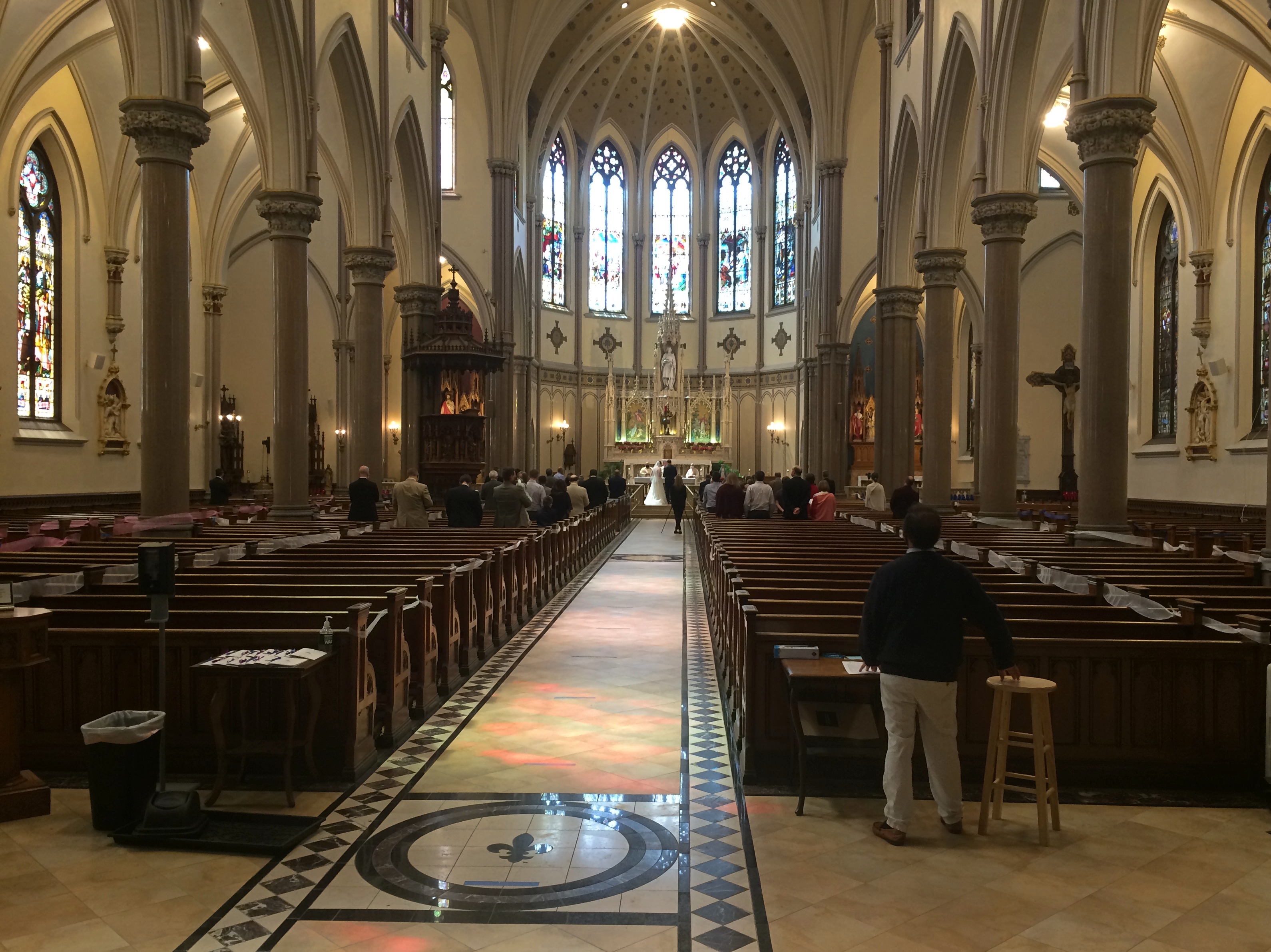
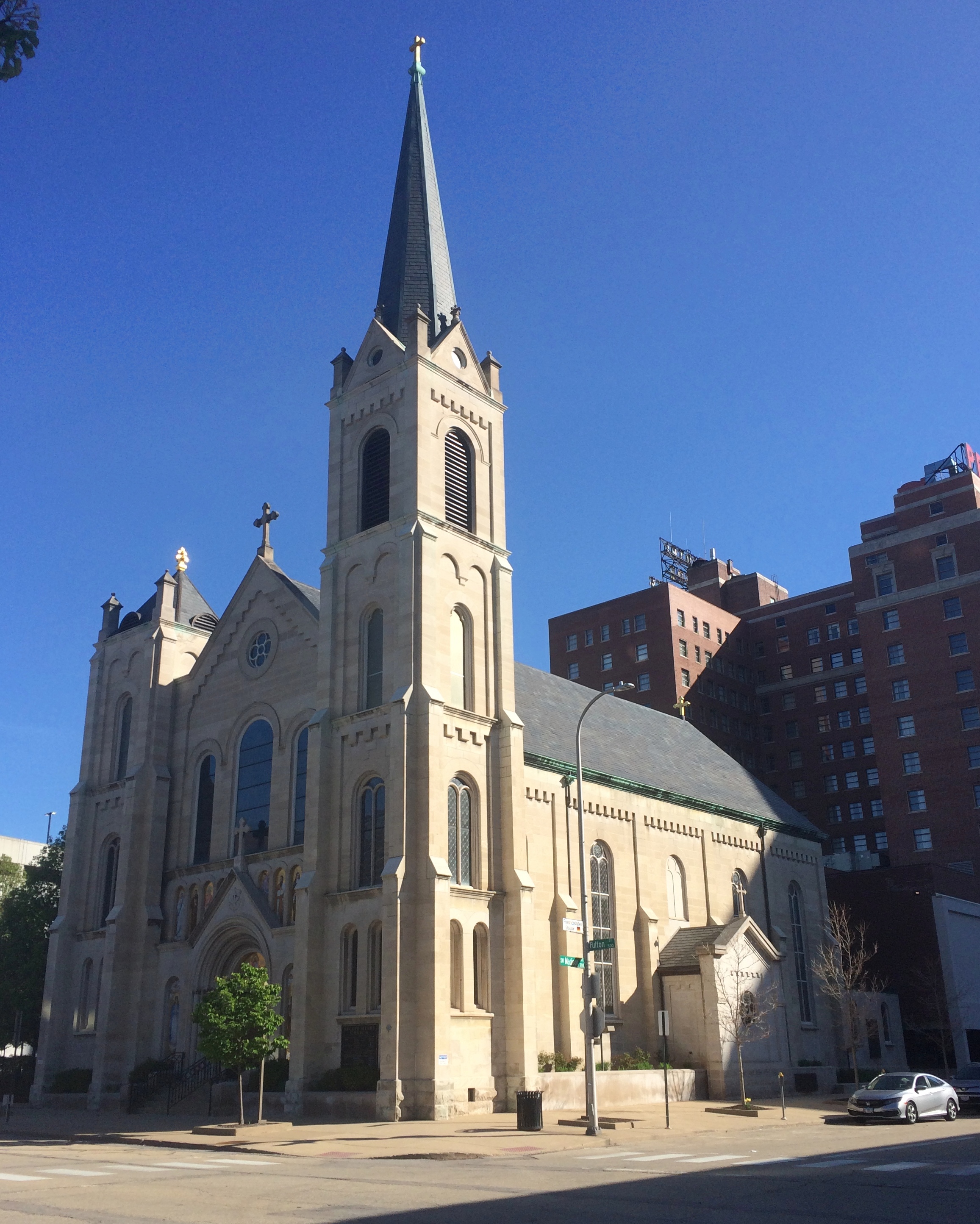
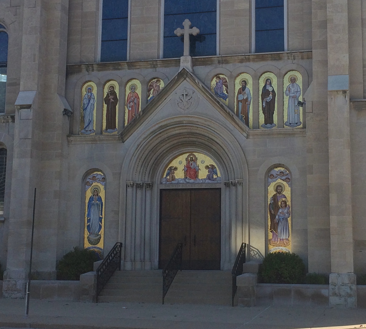
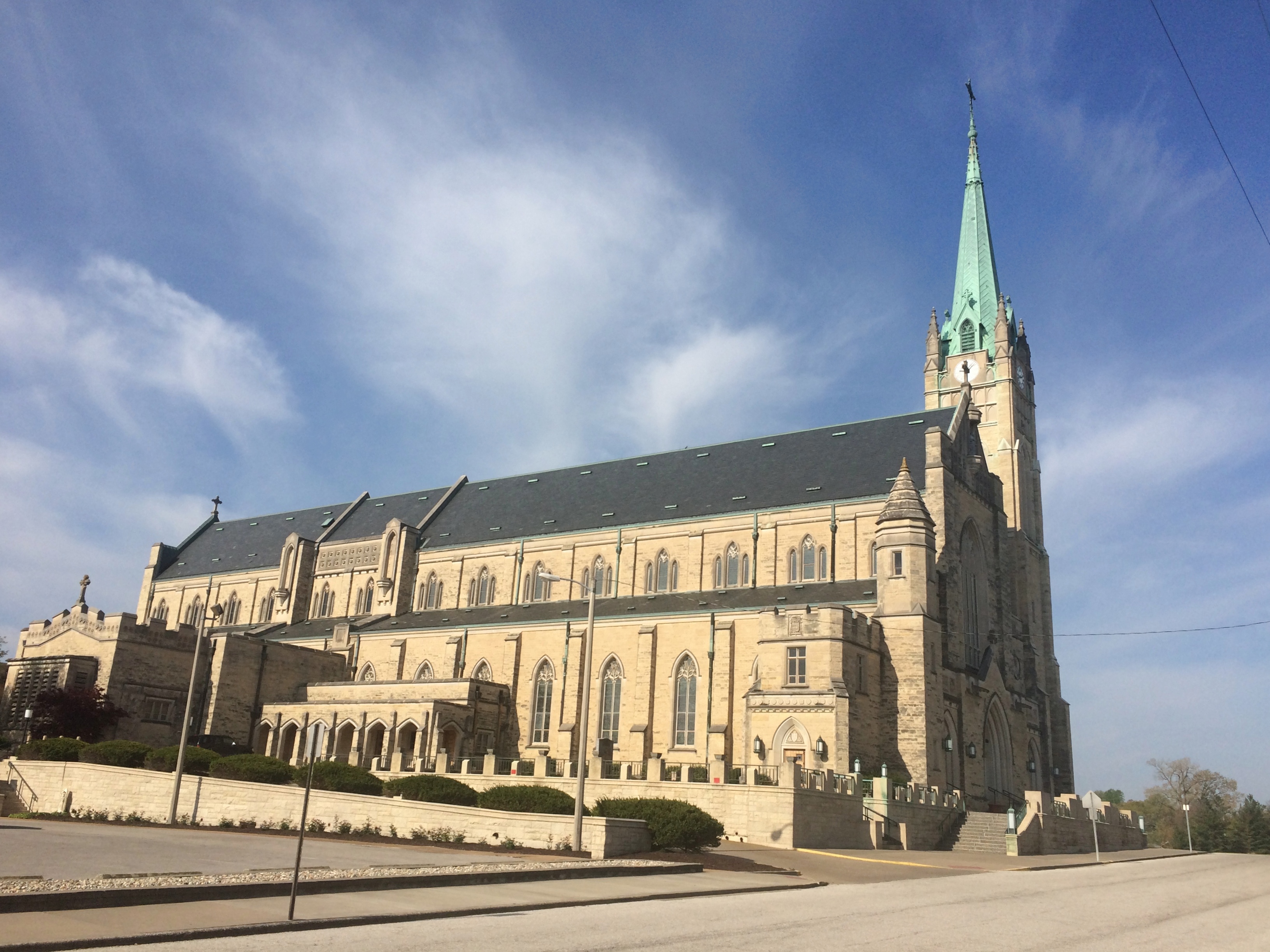
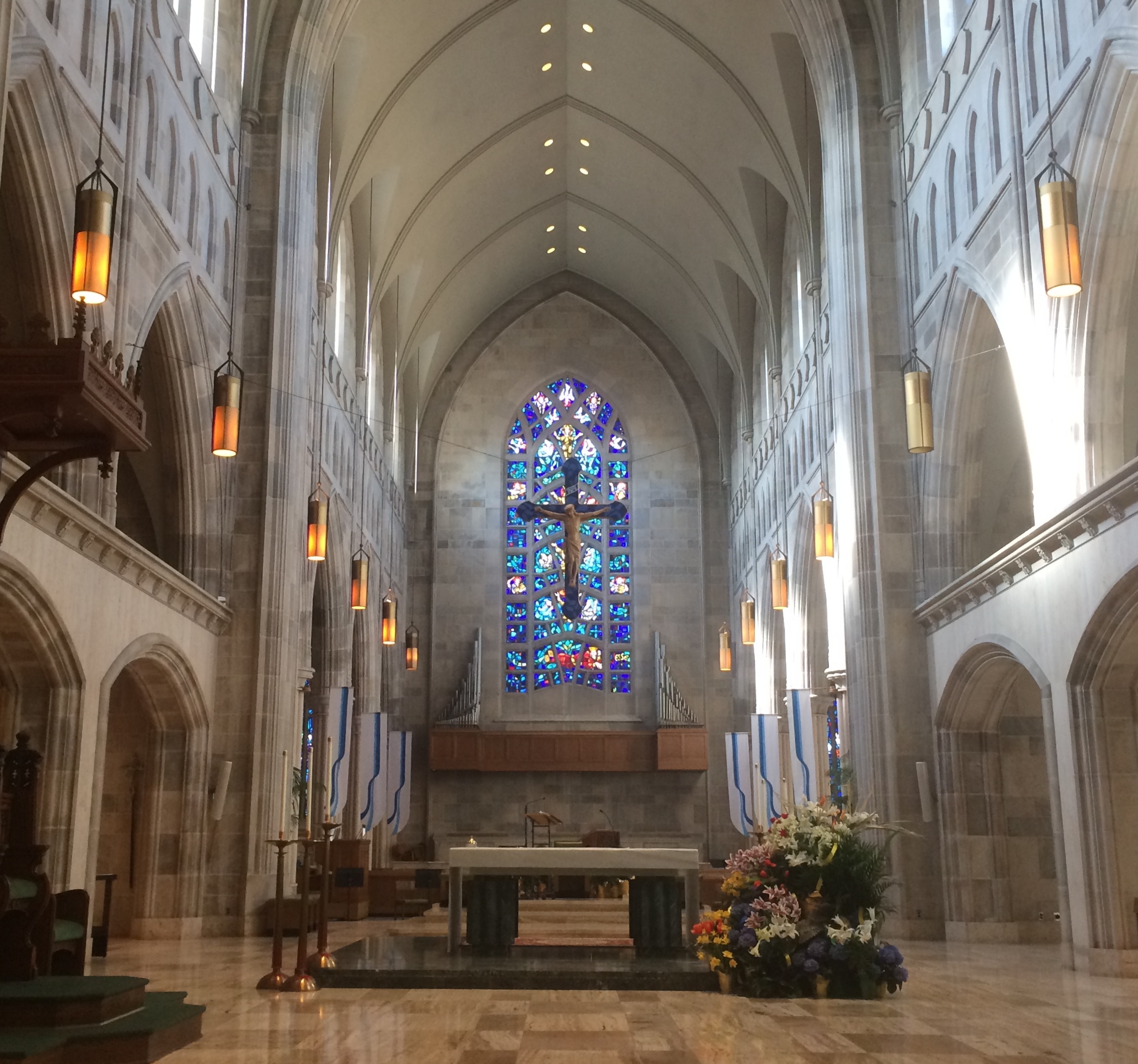
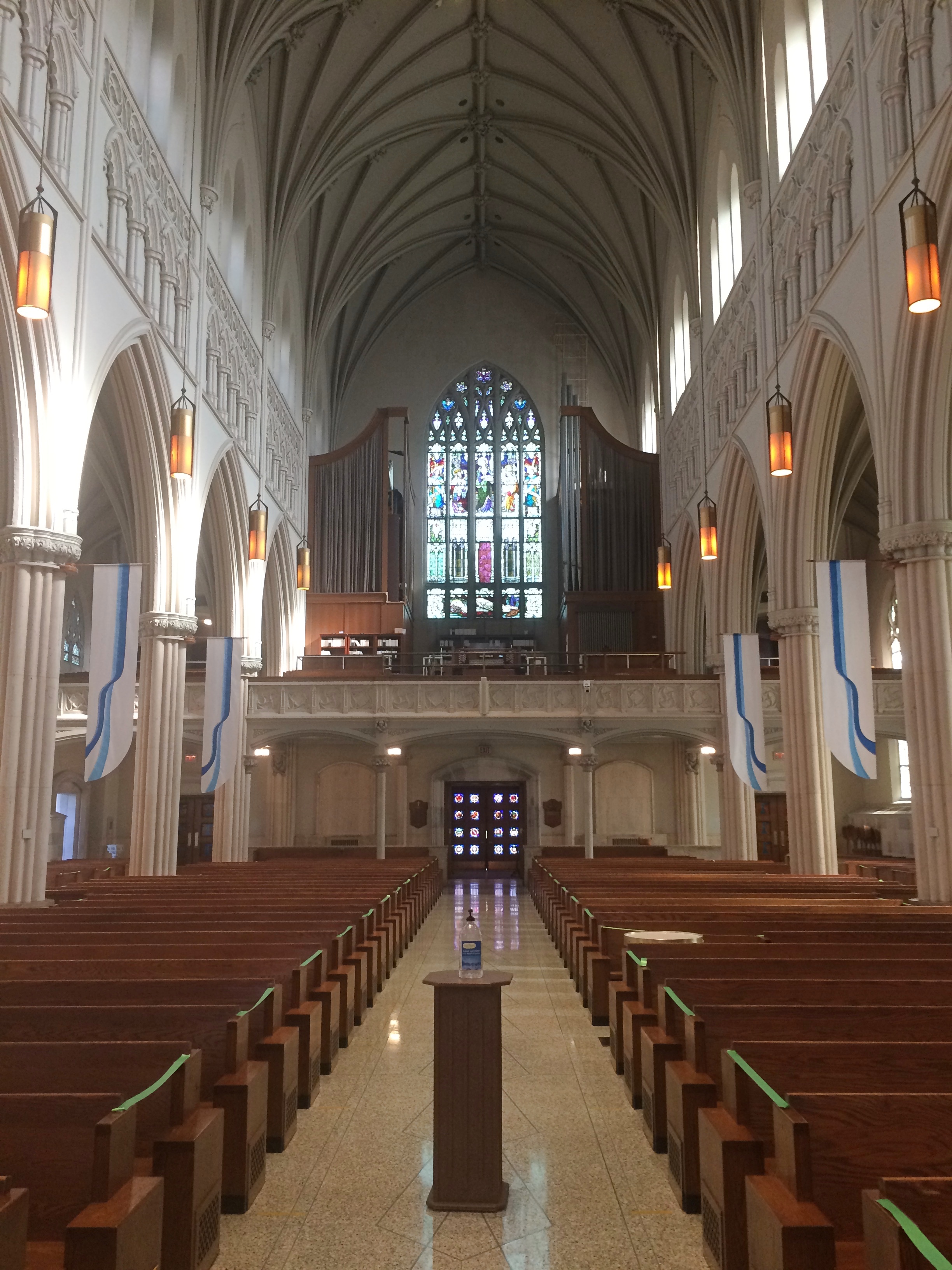
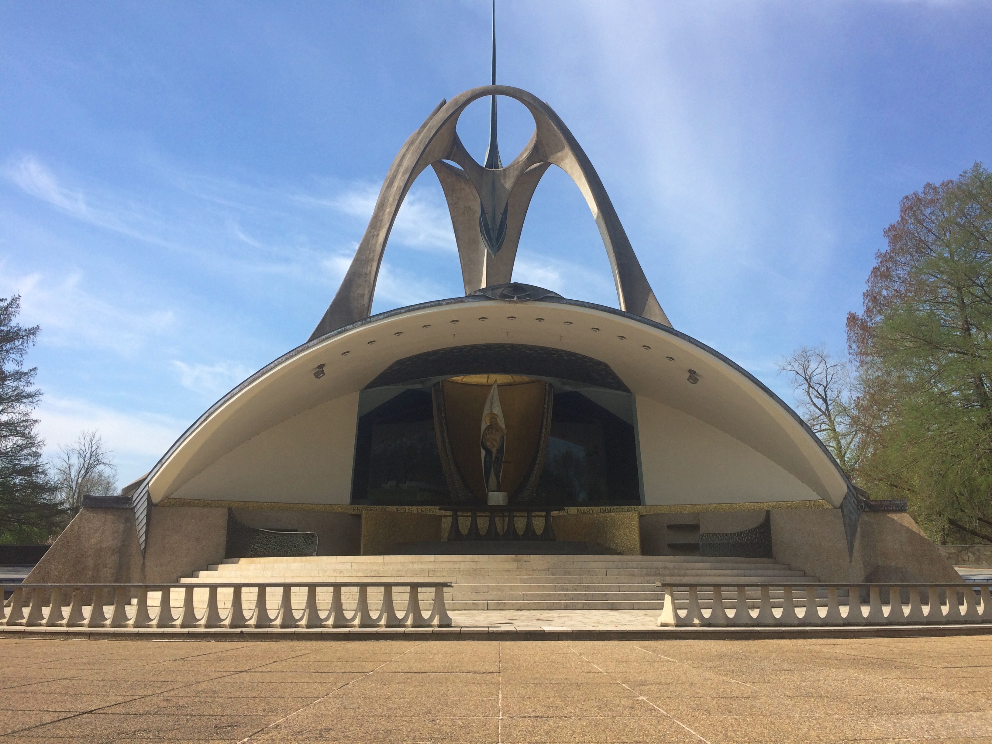
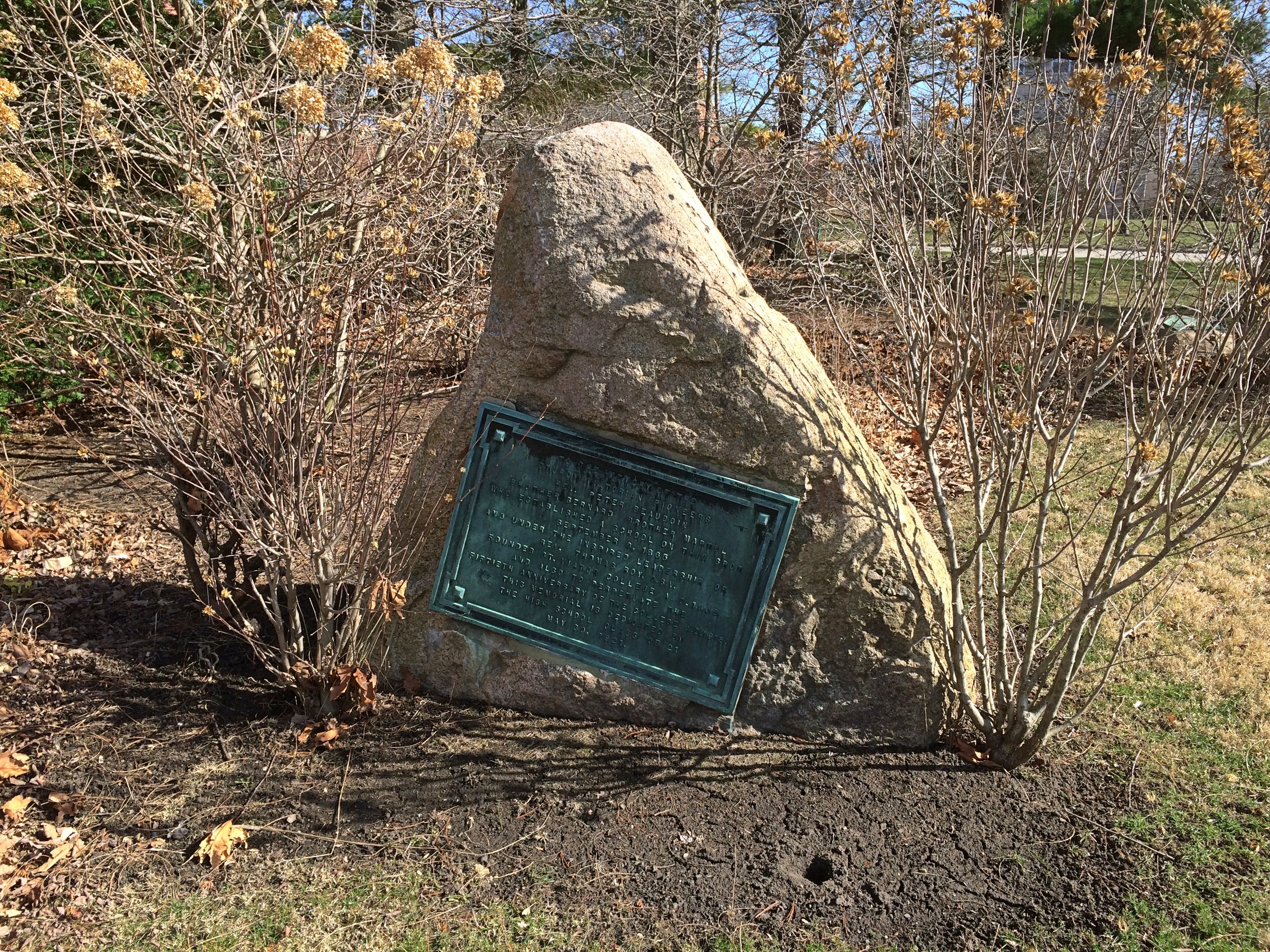
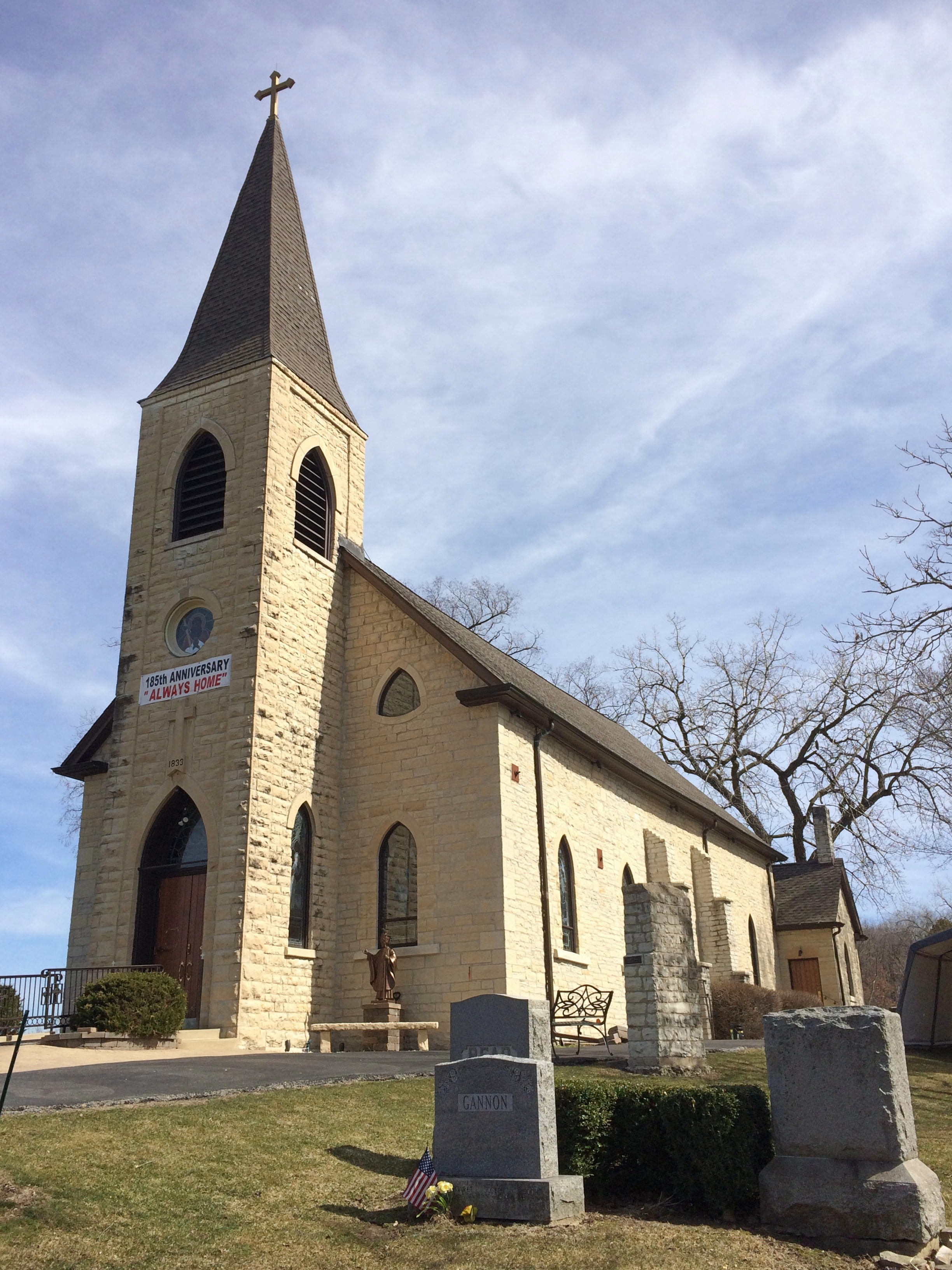
Near downtown Peoria is the Cathedral of St. Mary of the Immaculate Conception, mother church of the Diocese of Peoria, completed in 1889 and restored in the 2010s. I was able to catch it resplendent in the full eastern sun on a Sunday morning, before it opened for mass.
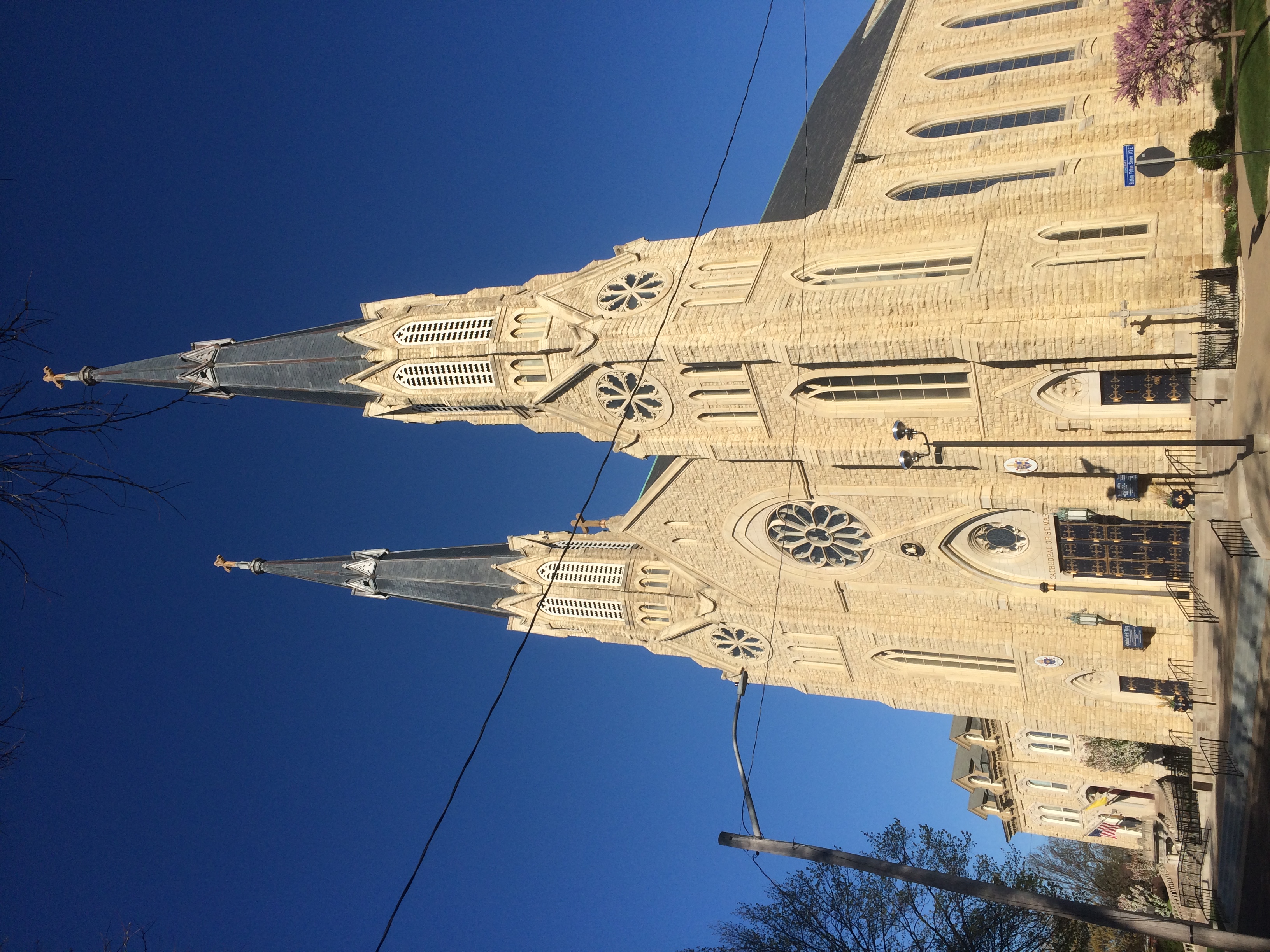
The adjacent cathedral rectory and, on the lower level, the diocesan chancery.
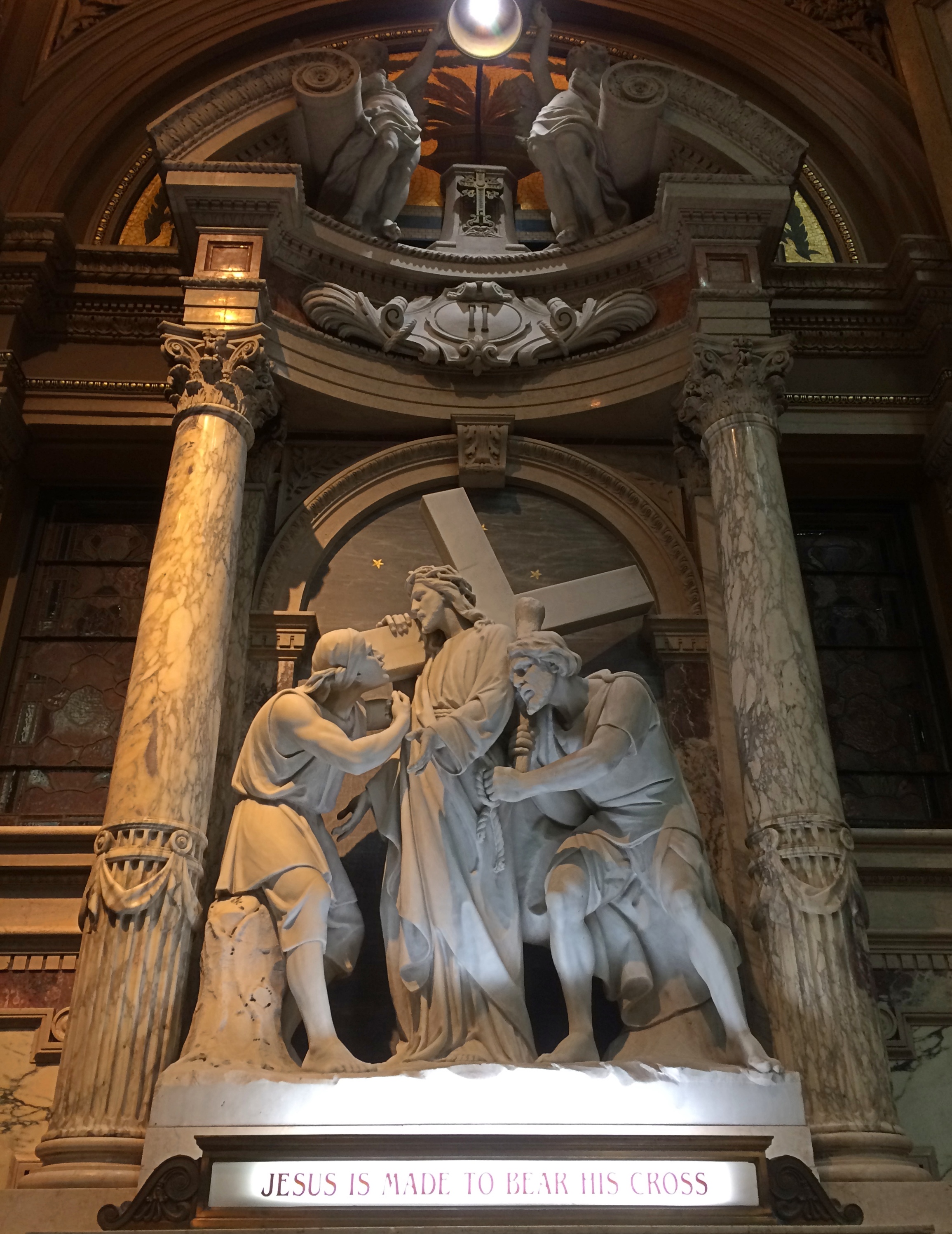
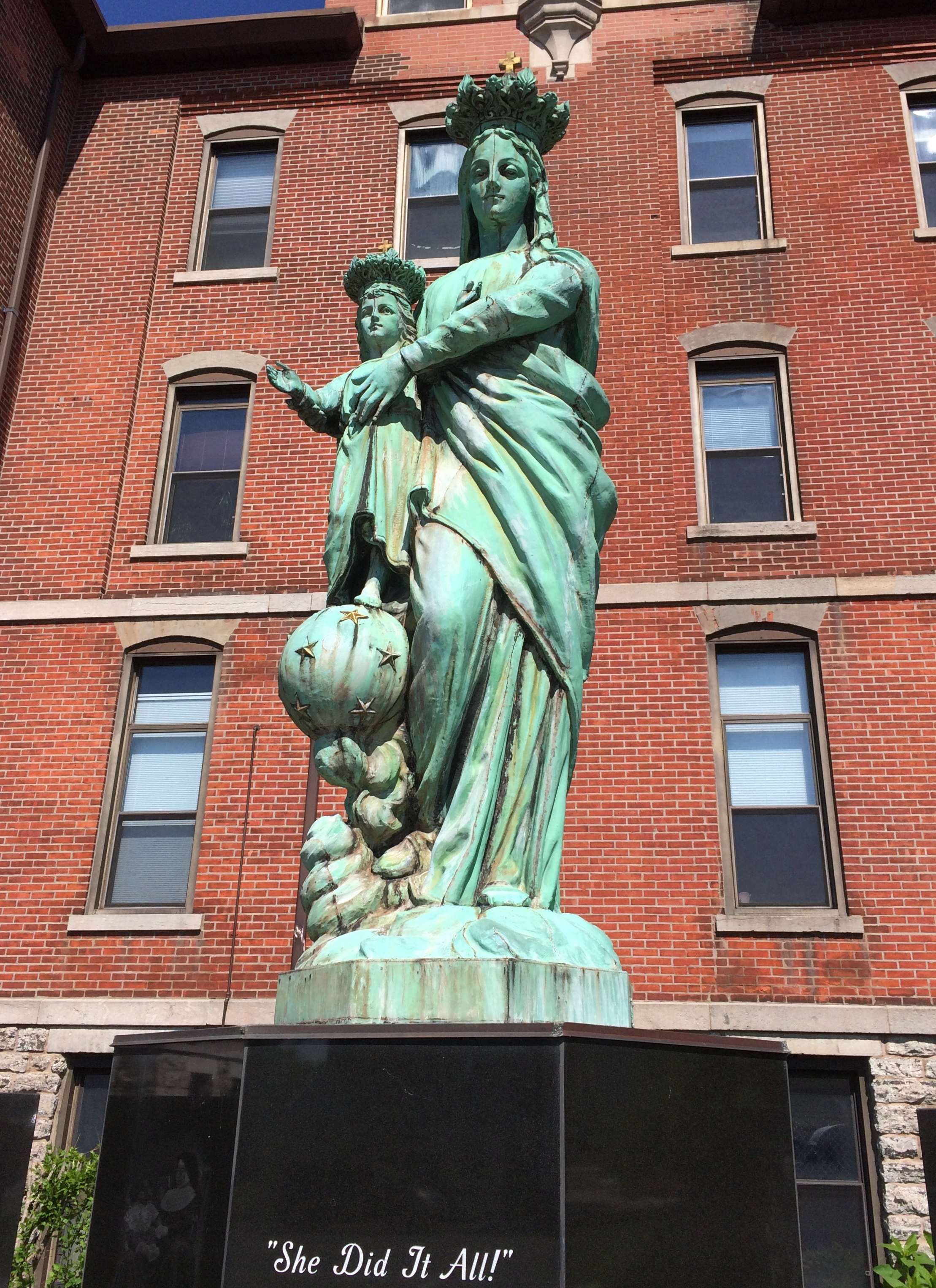
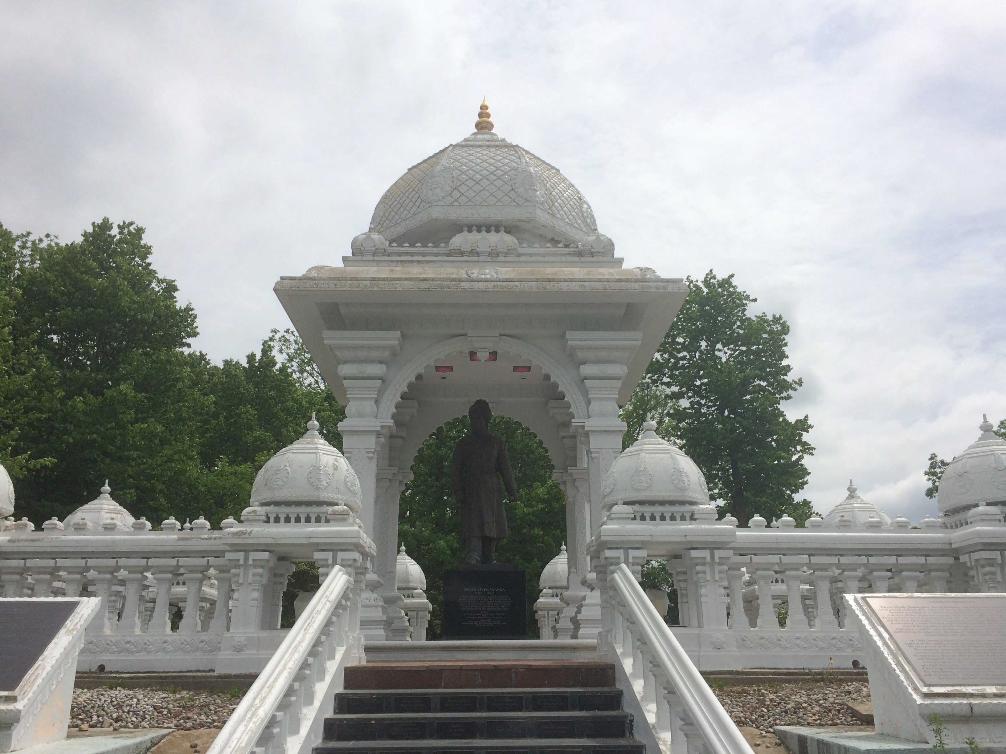
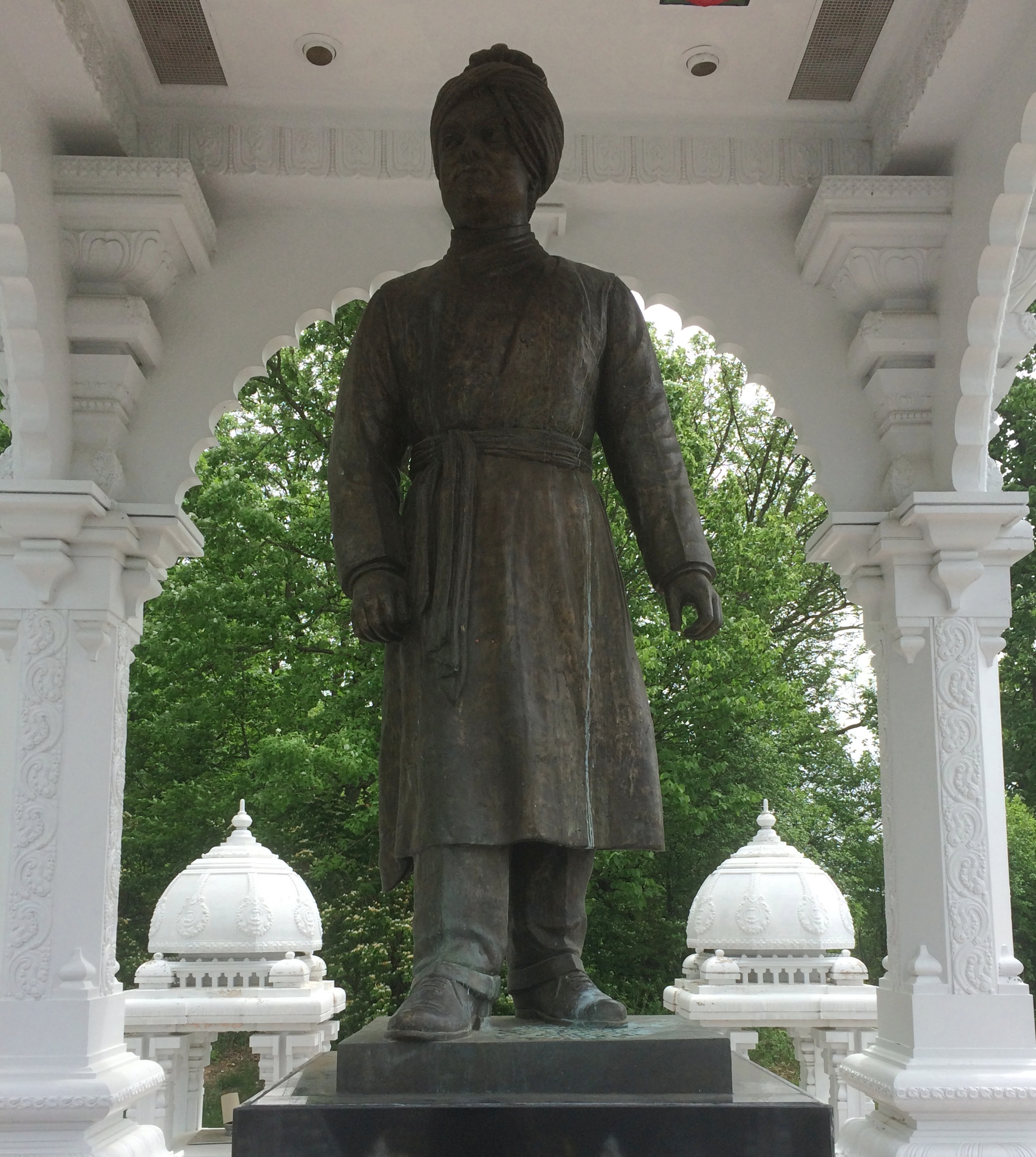
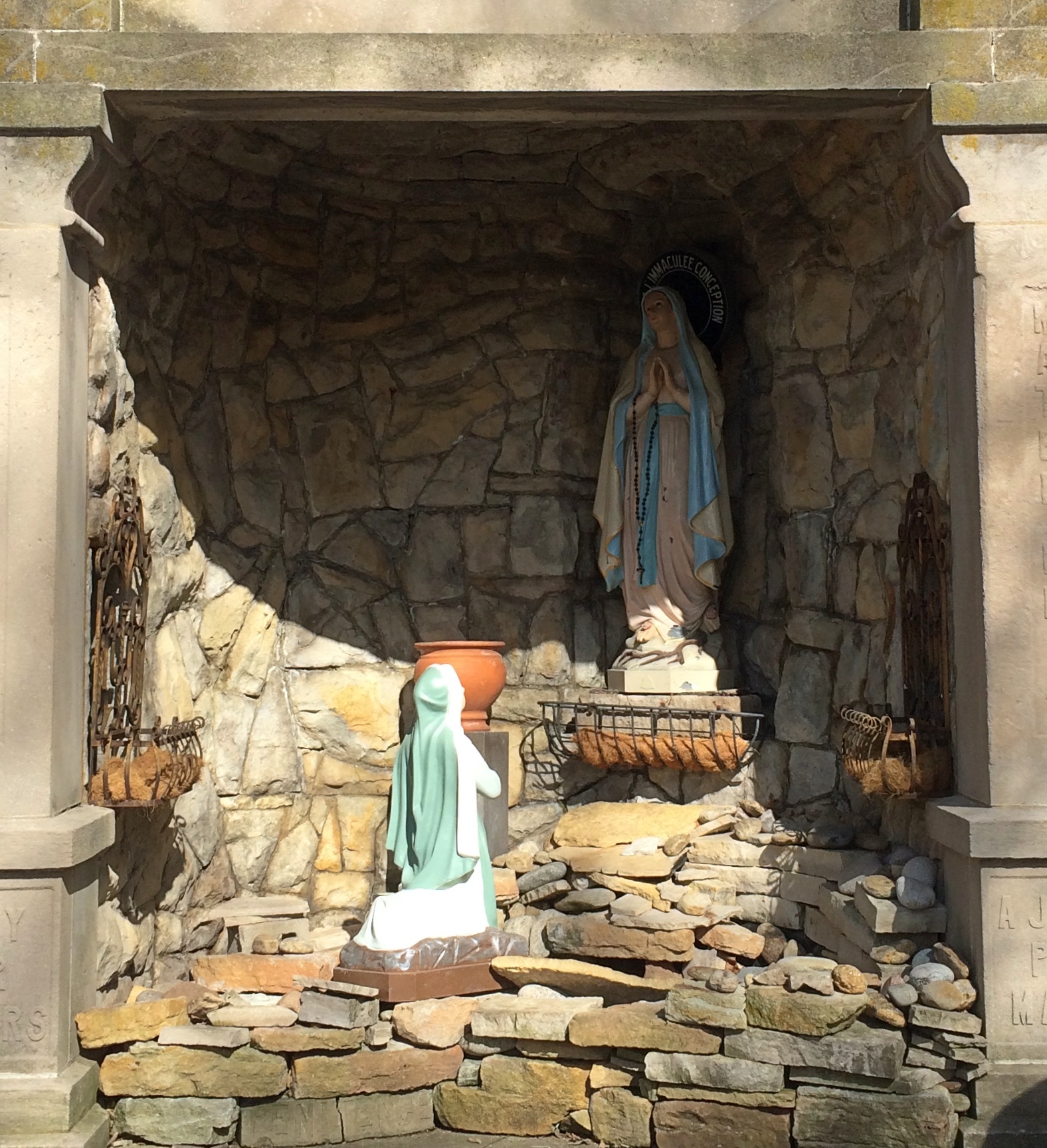
Other details, including a statue of Mother Teresa.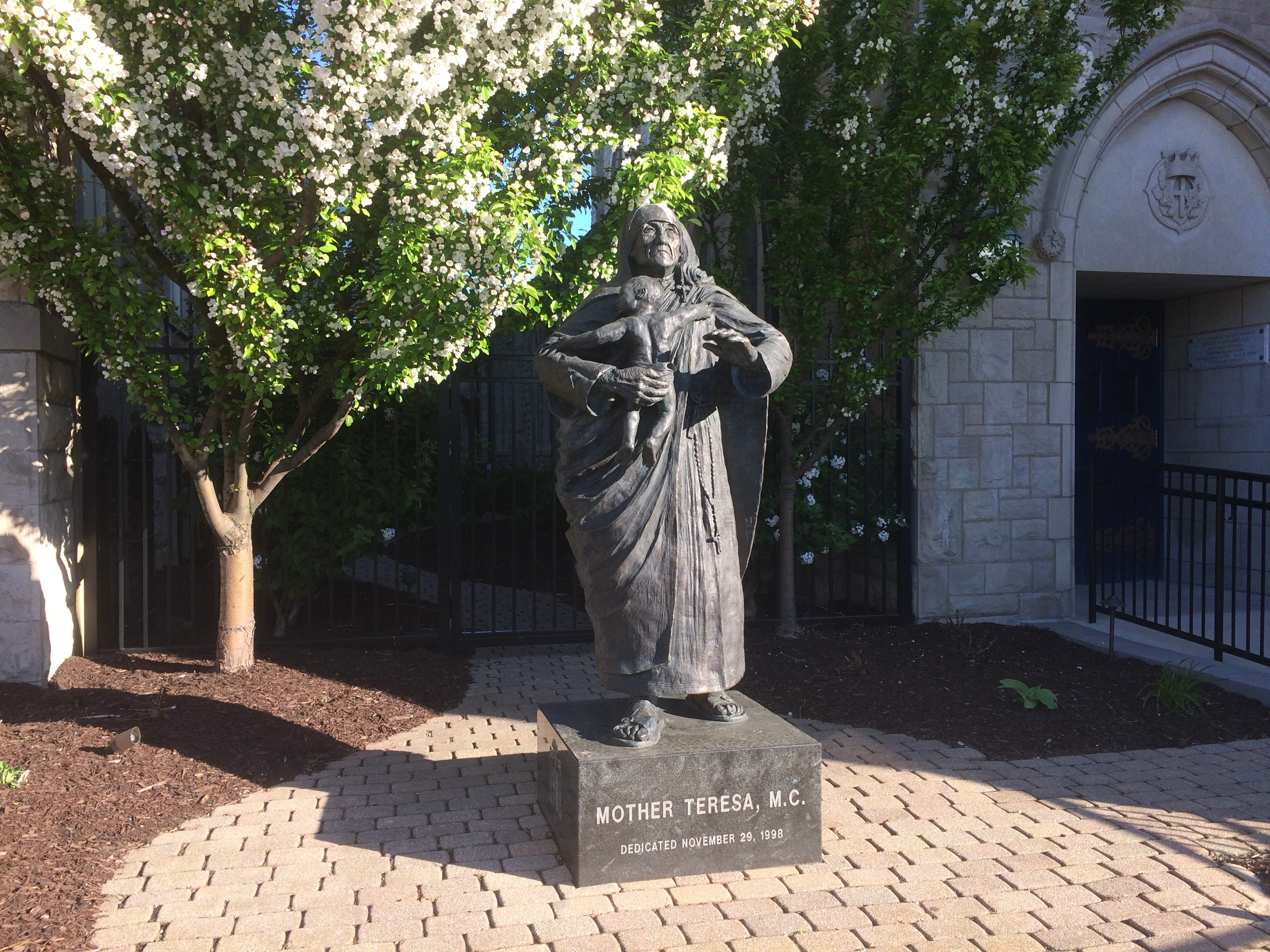
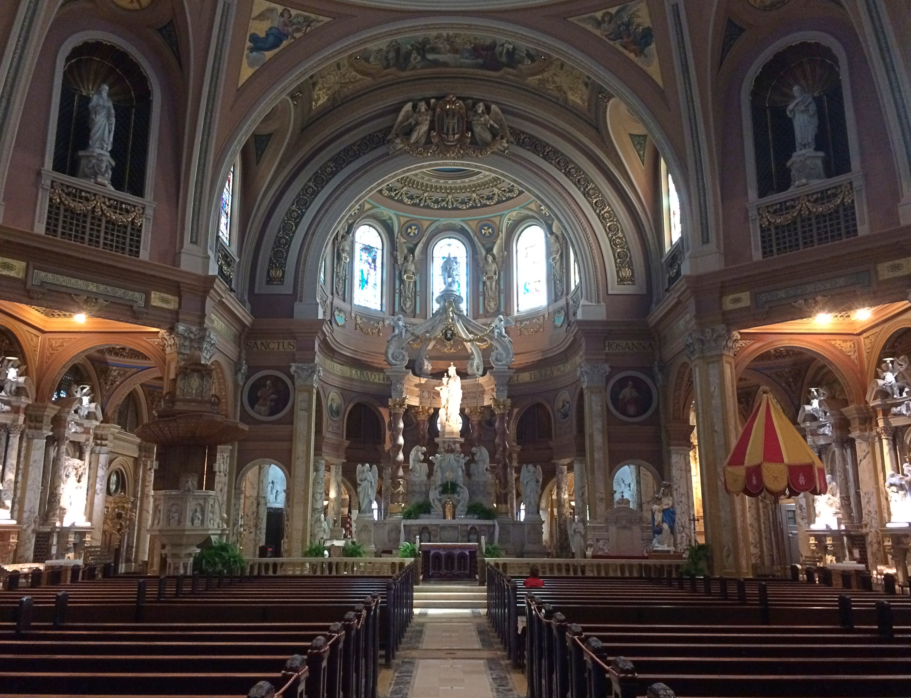
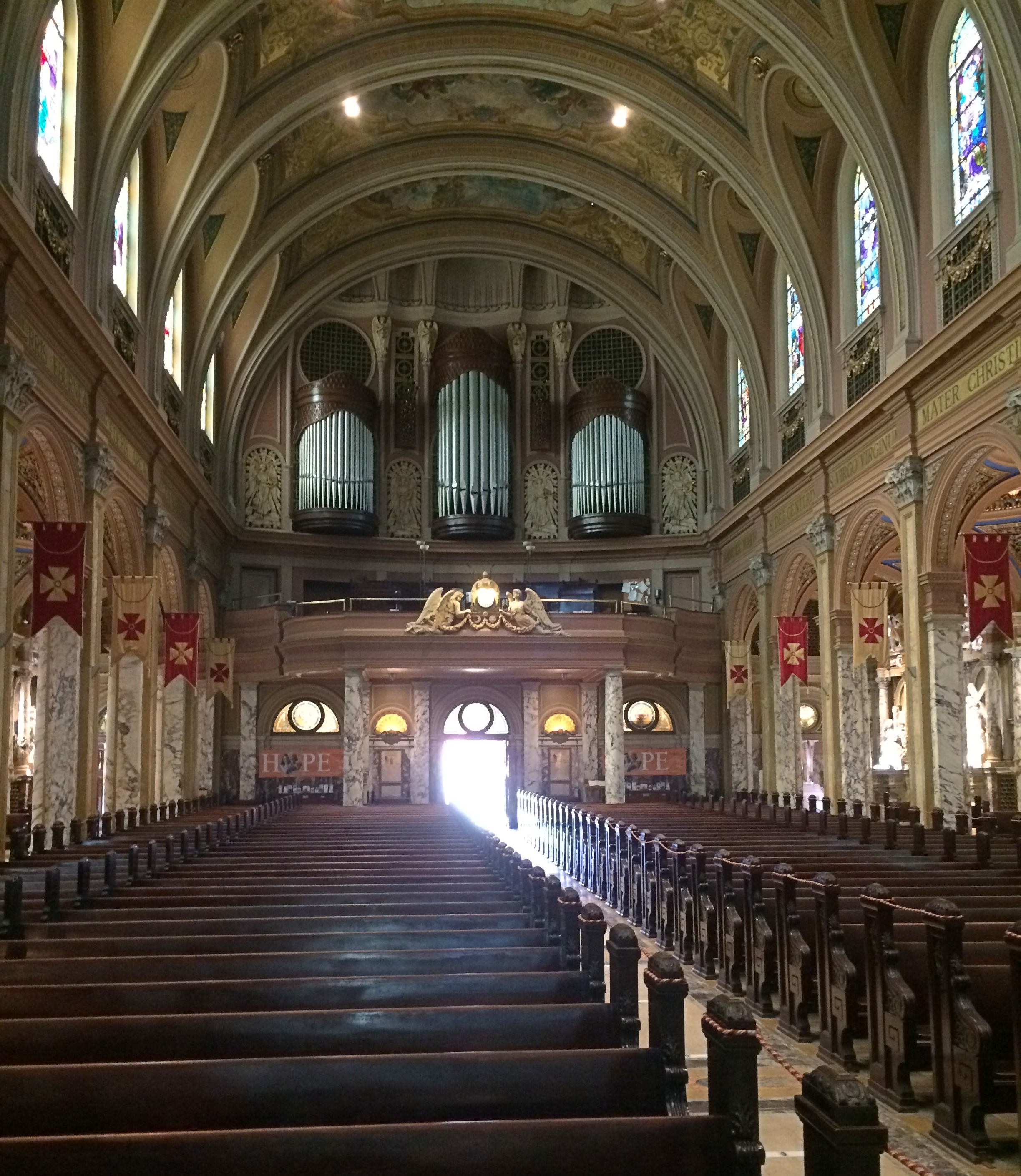
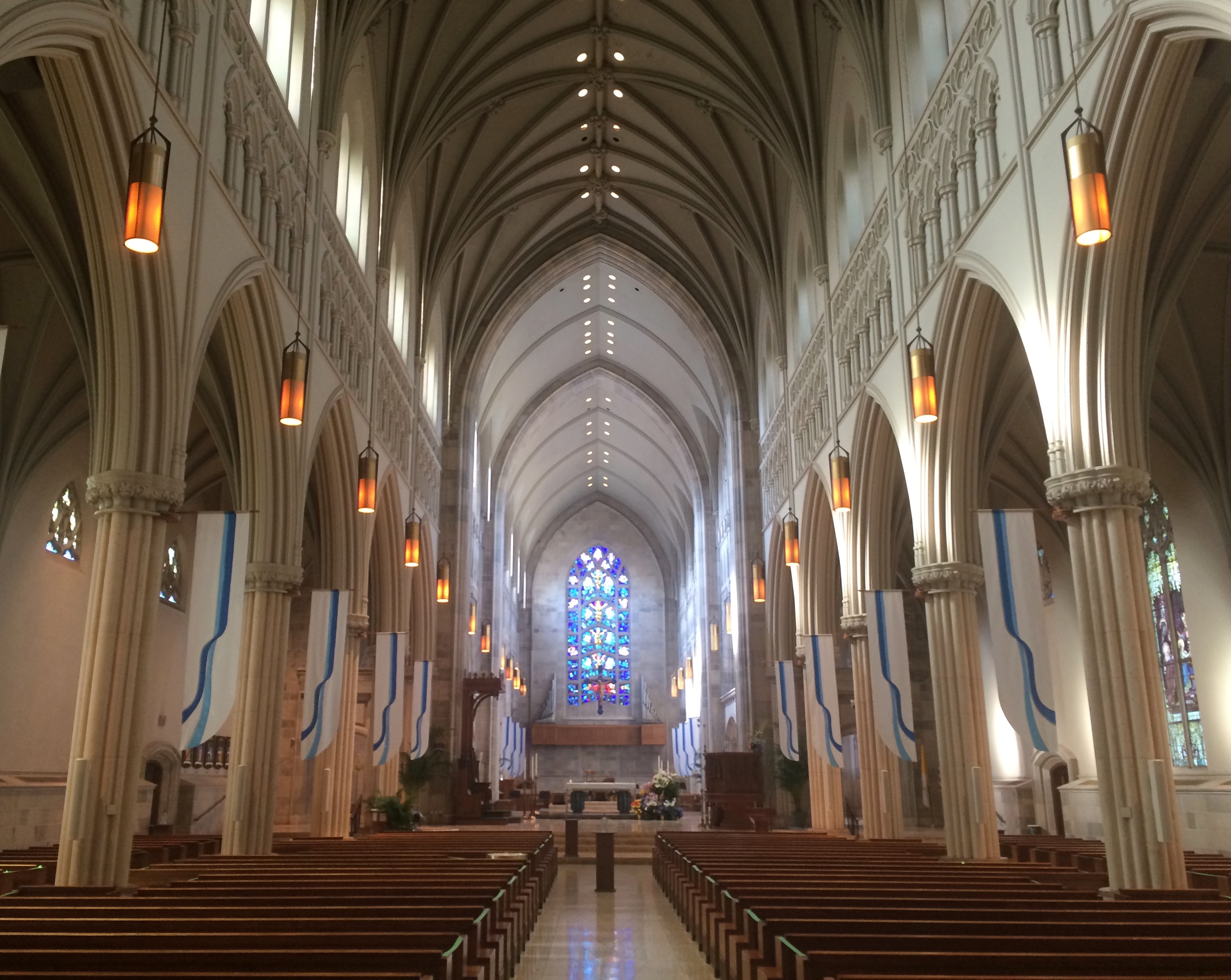
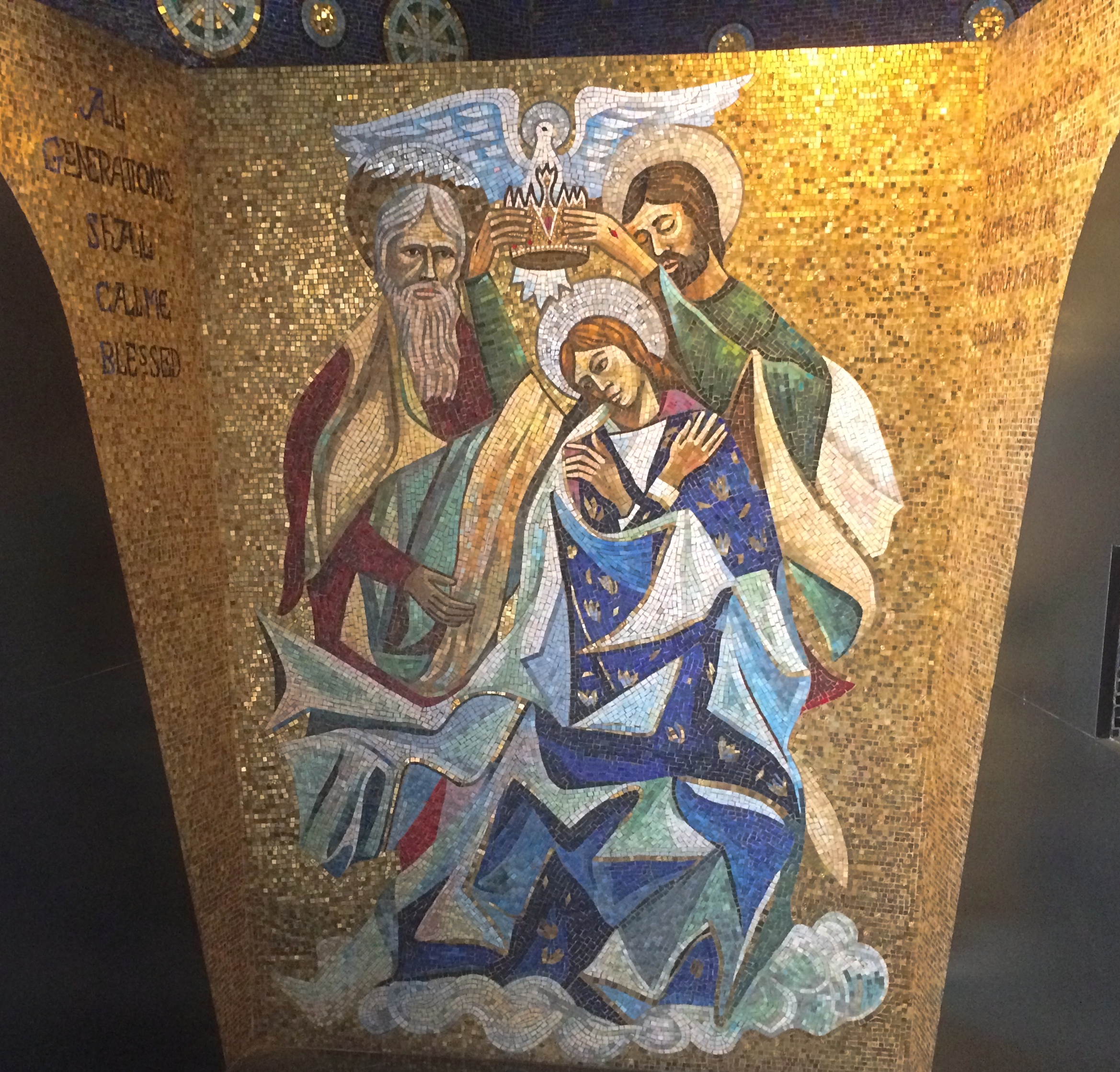
Later, we popped inside just before the beginning of mass. The interior is just as grand as the outside.
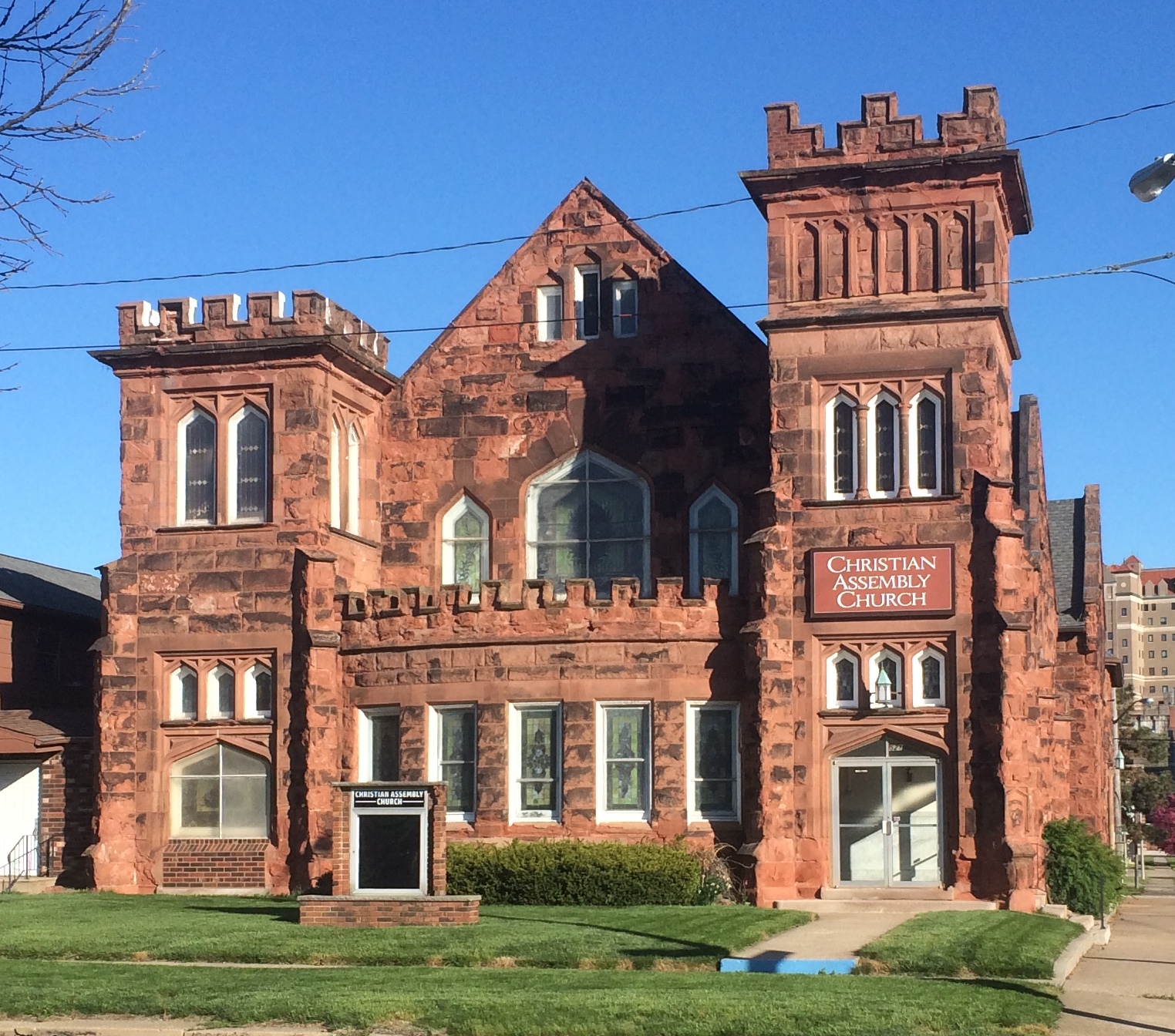
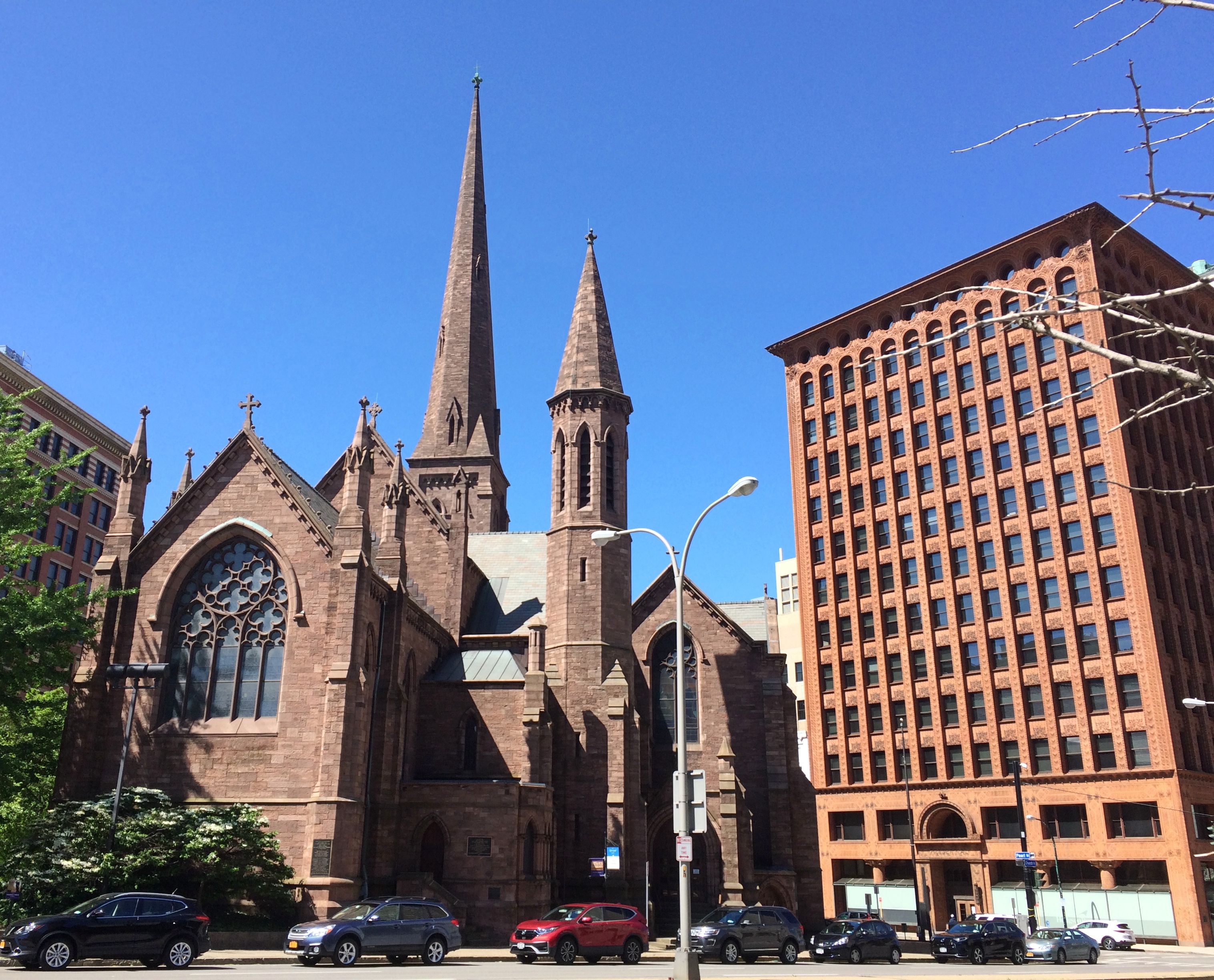
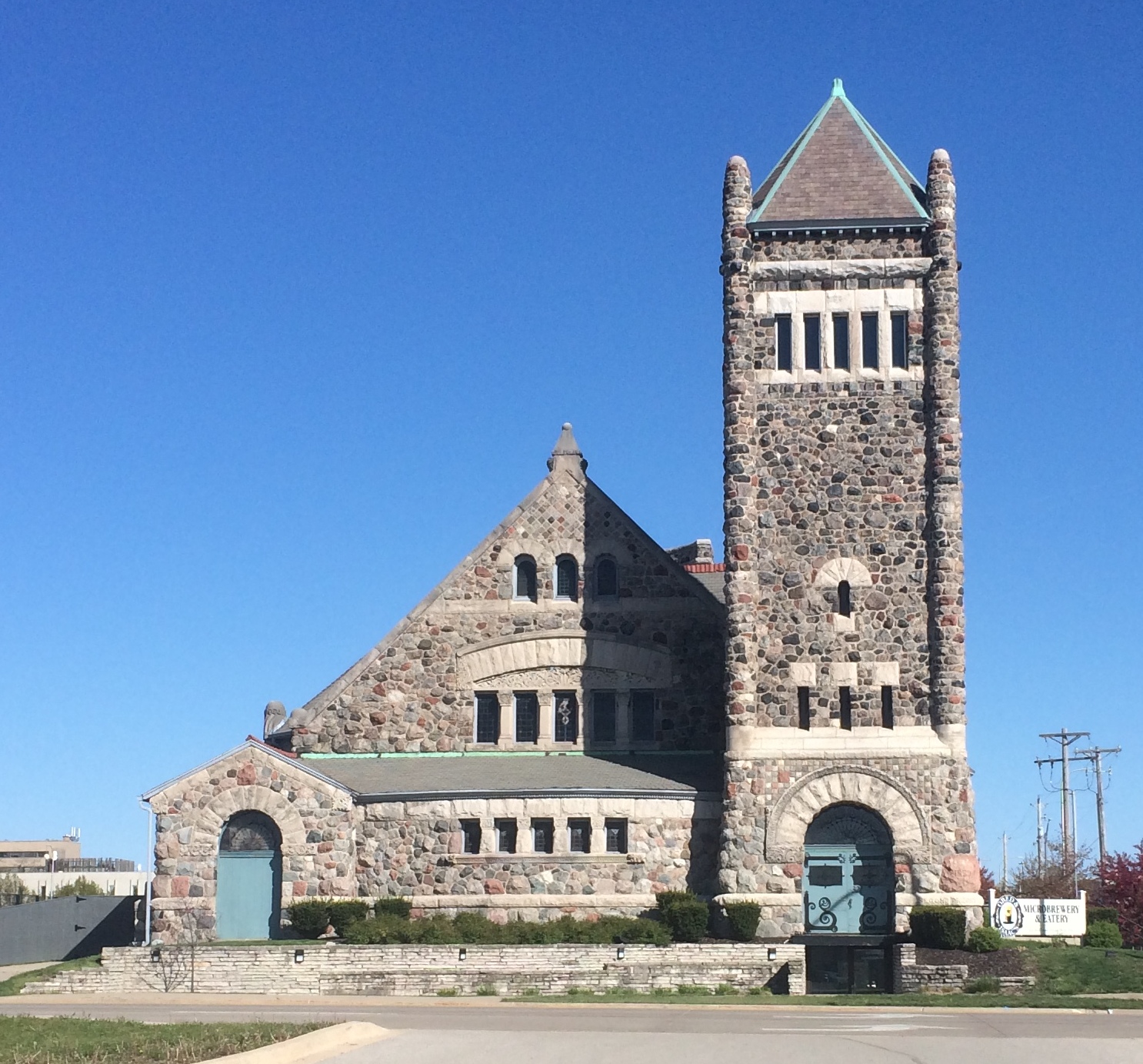
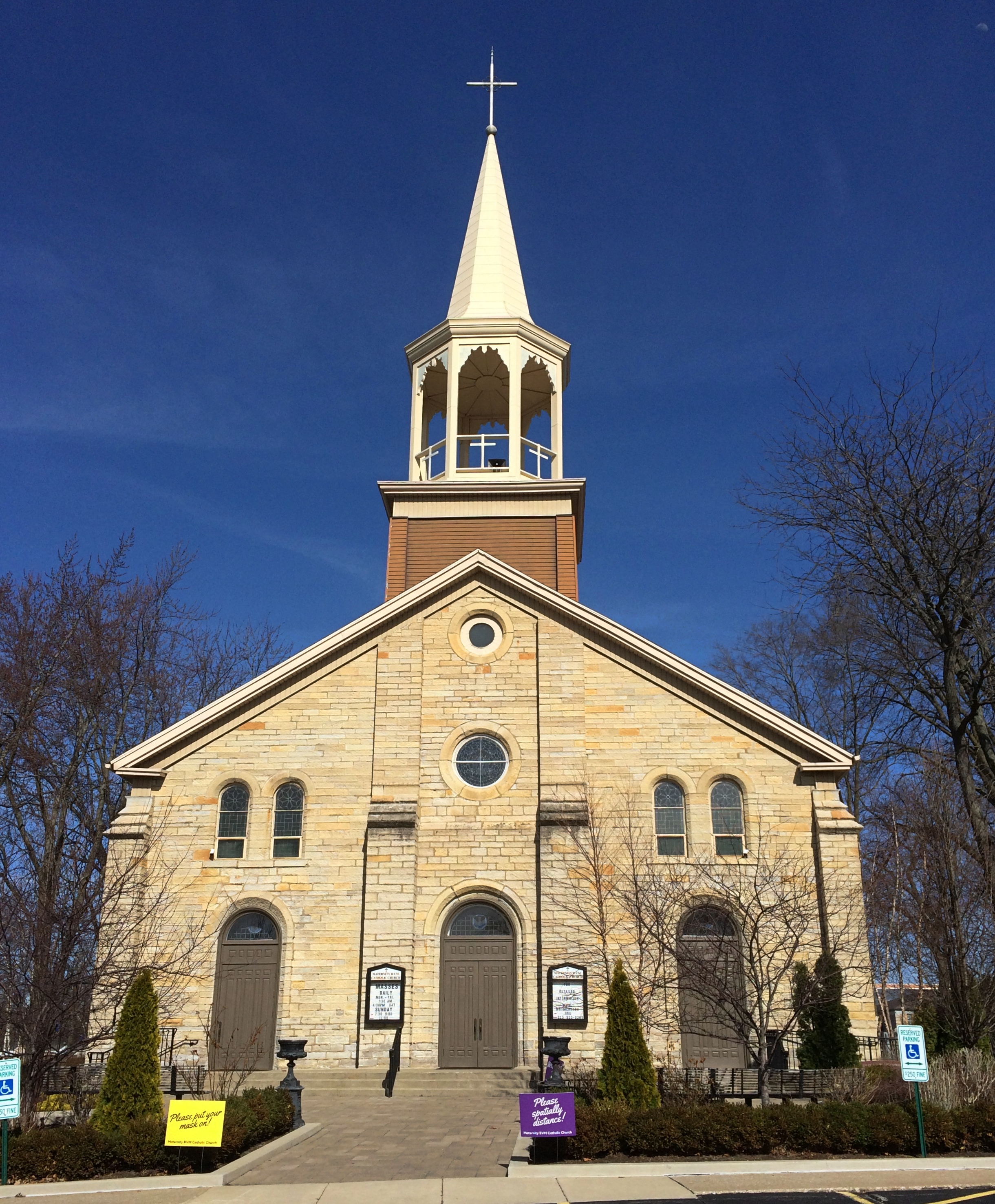
The cathedral isn’t the only church in the neighborhood. Not far away is Christian Assembly Church.
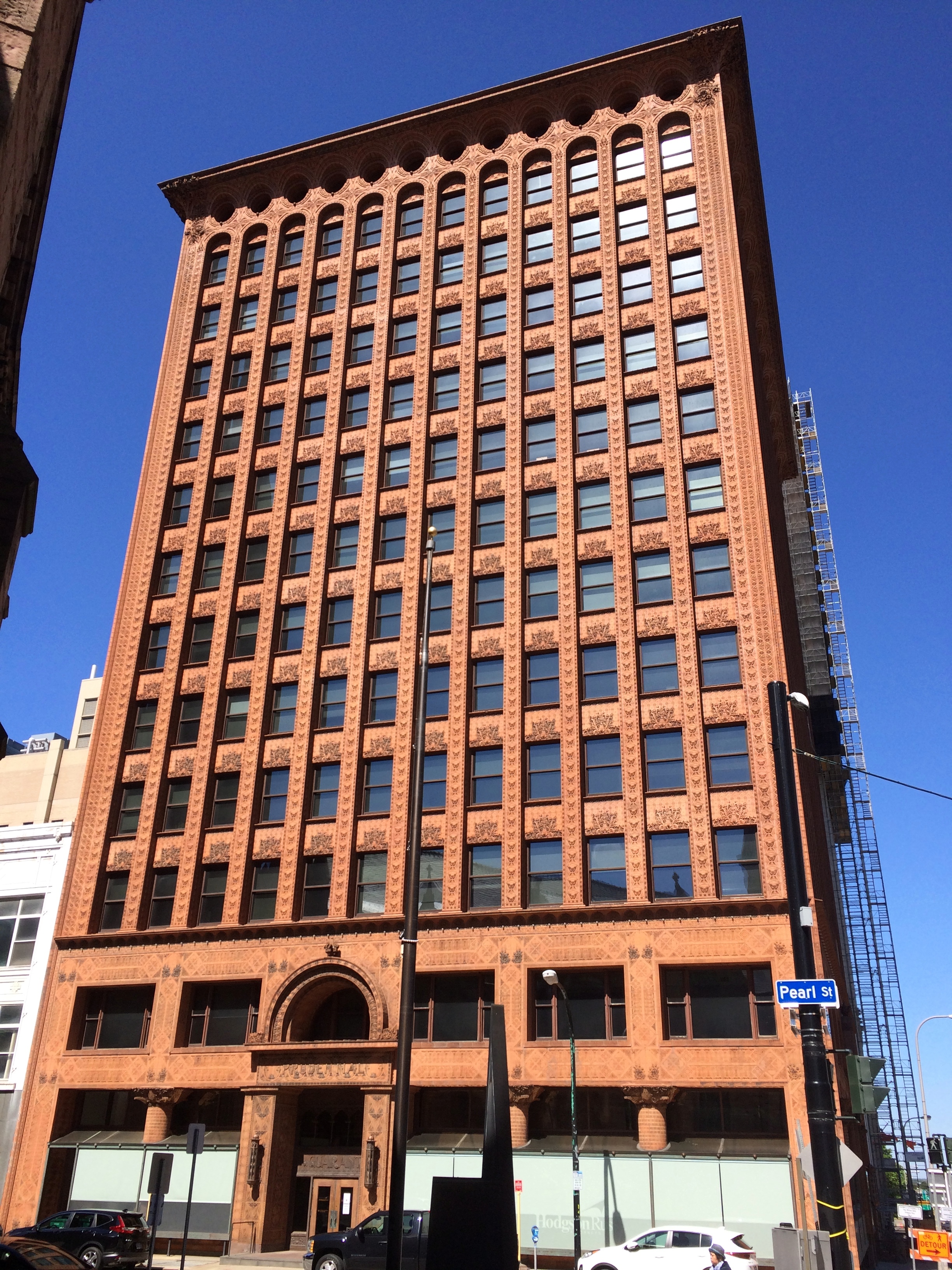
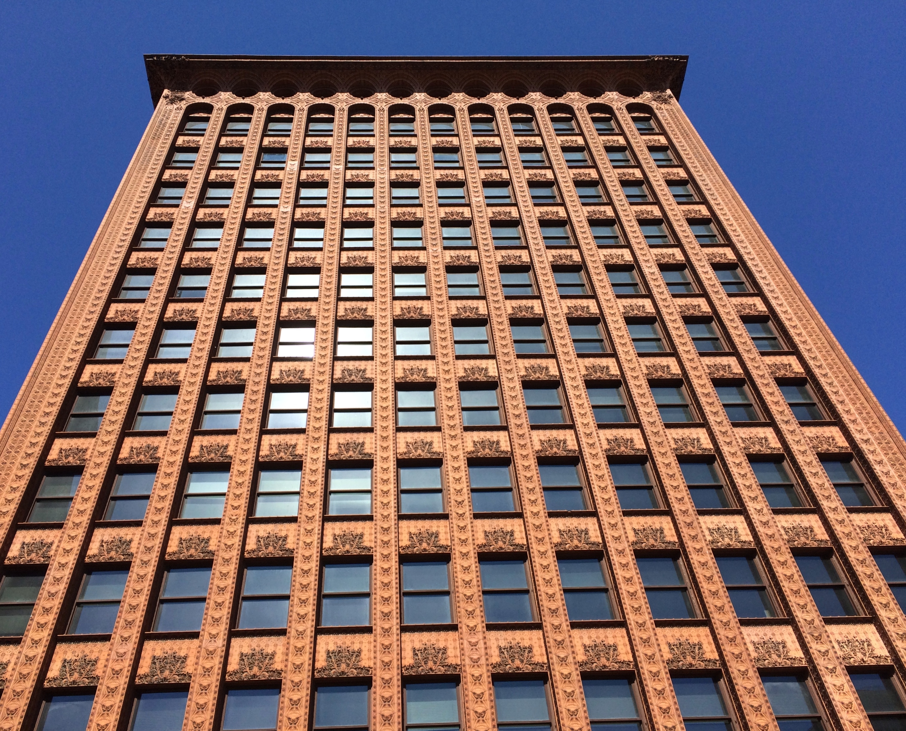
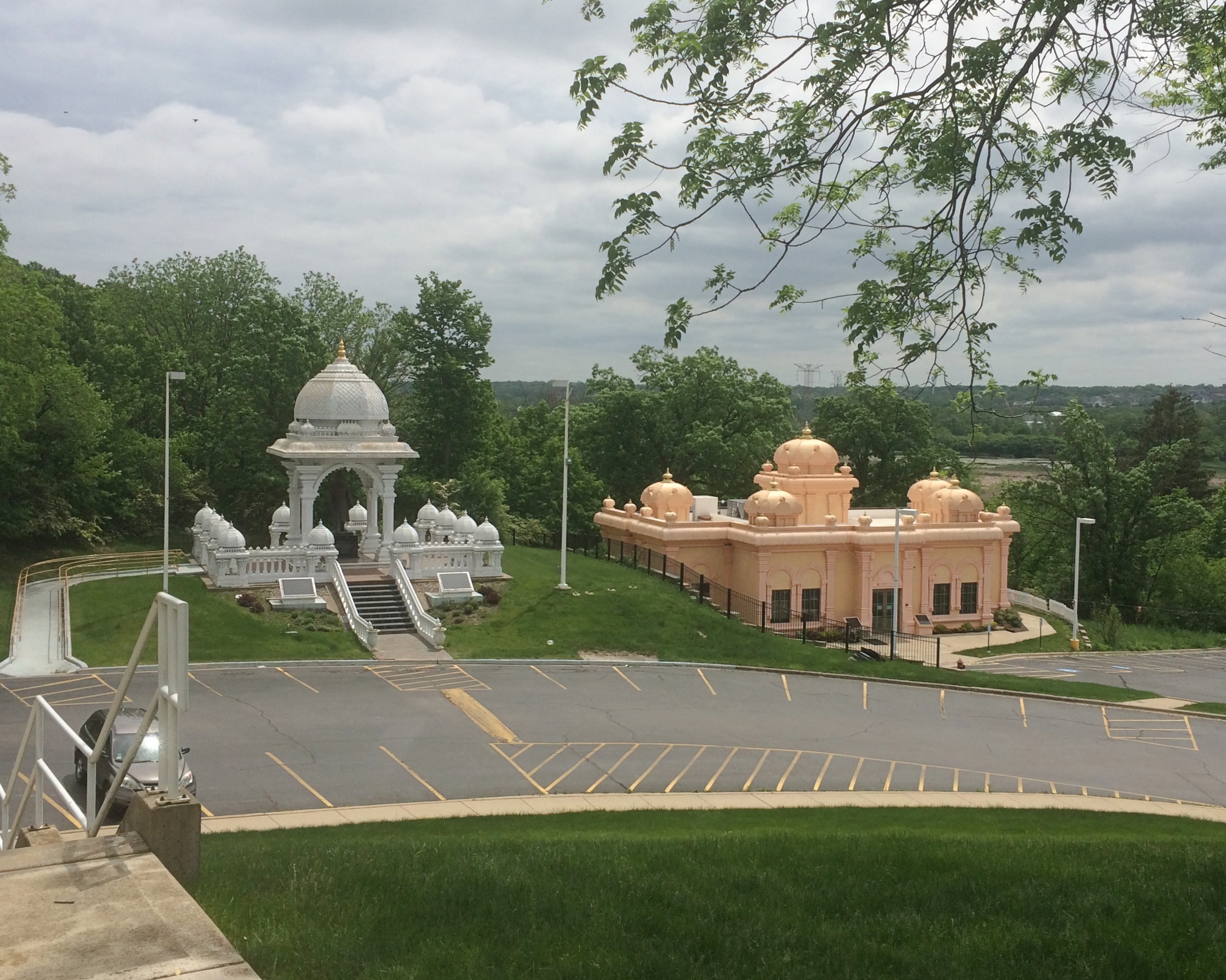
West of there looked to be a hill made of buildings.
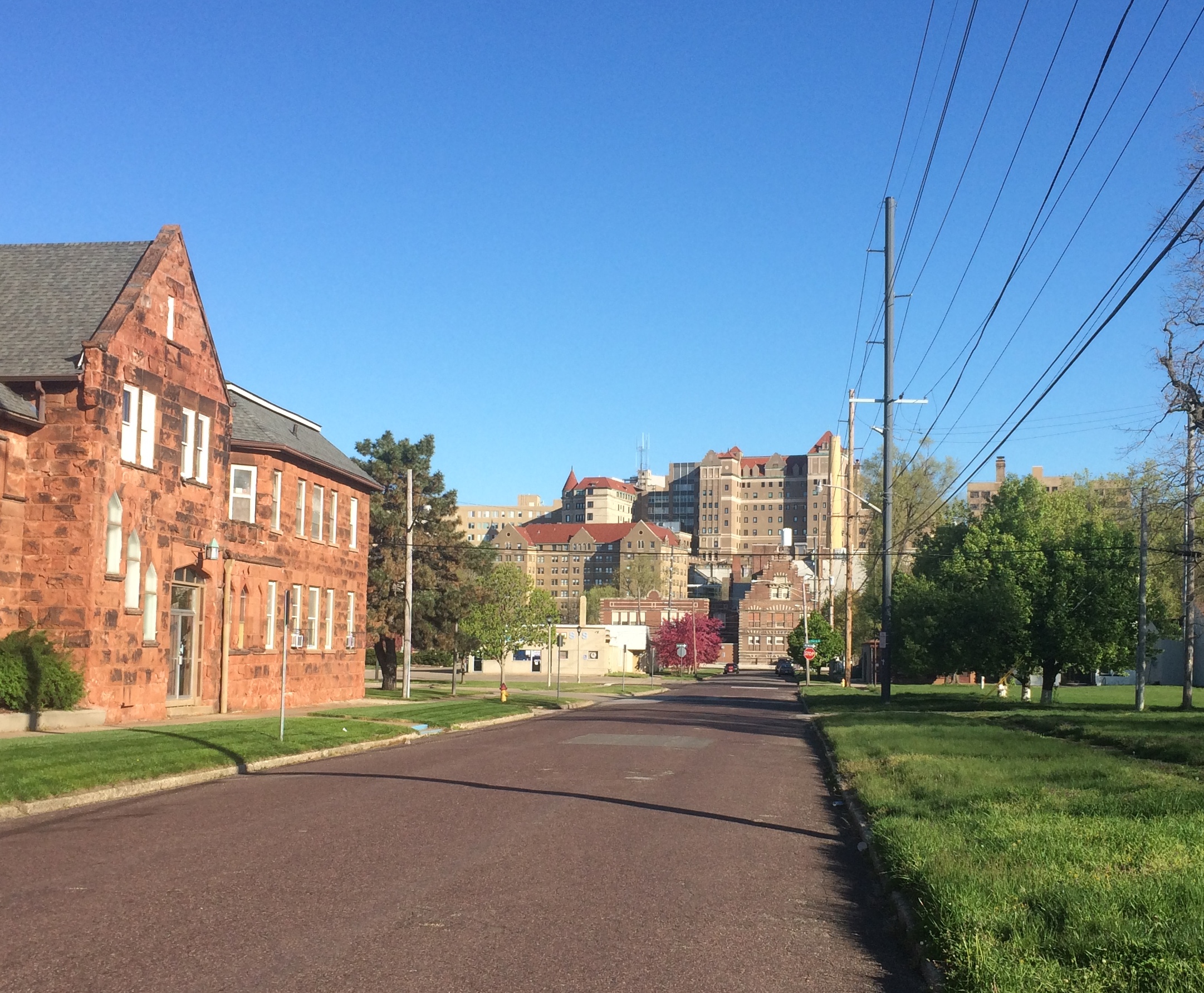
This is at the base of that “hill.”
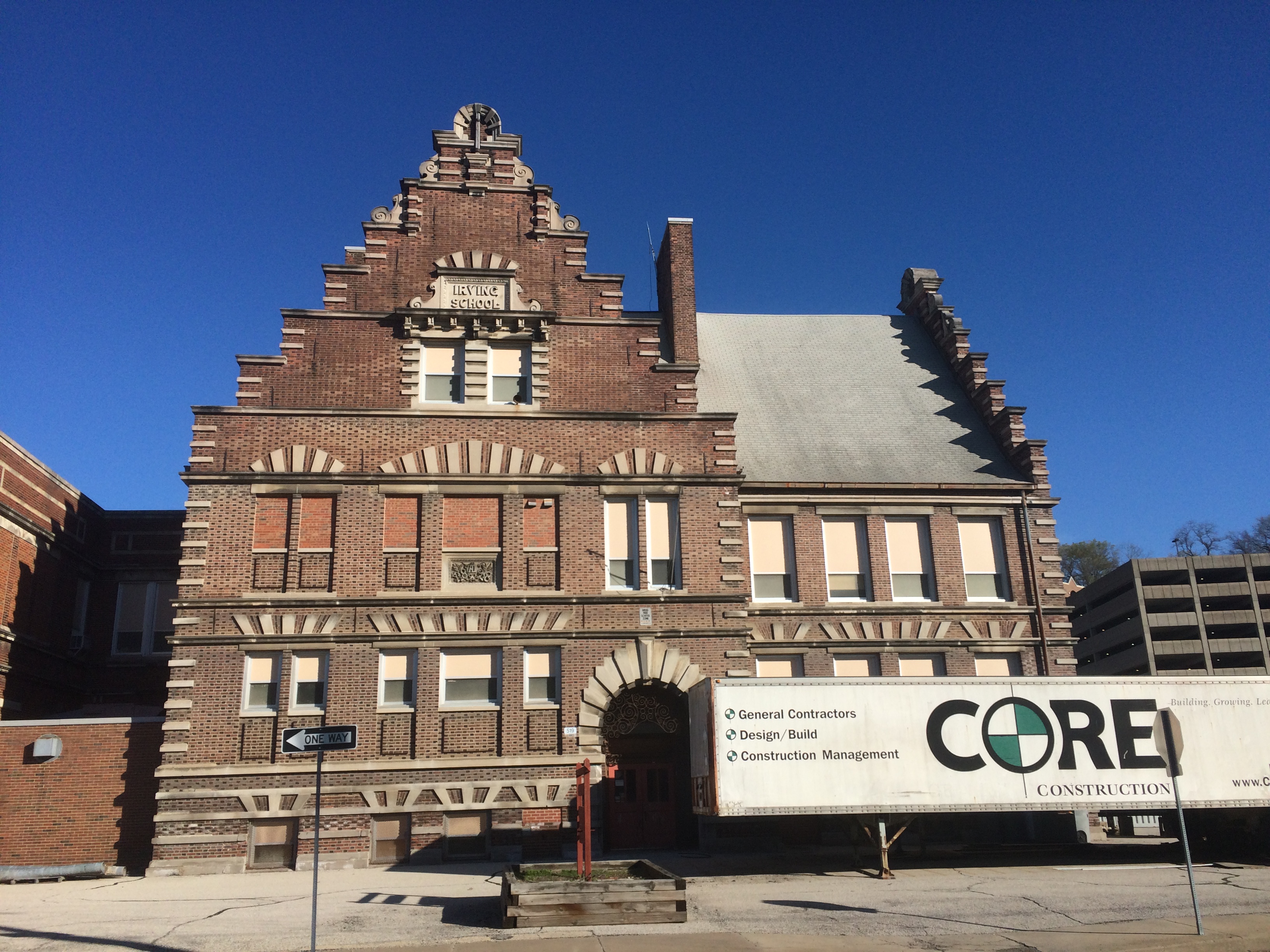
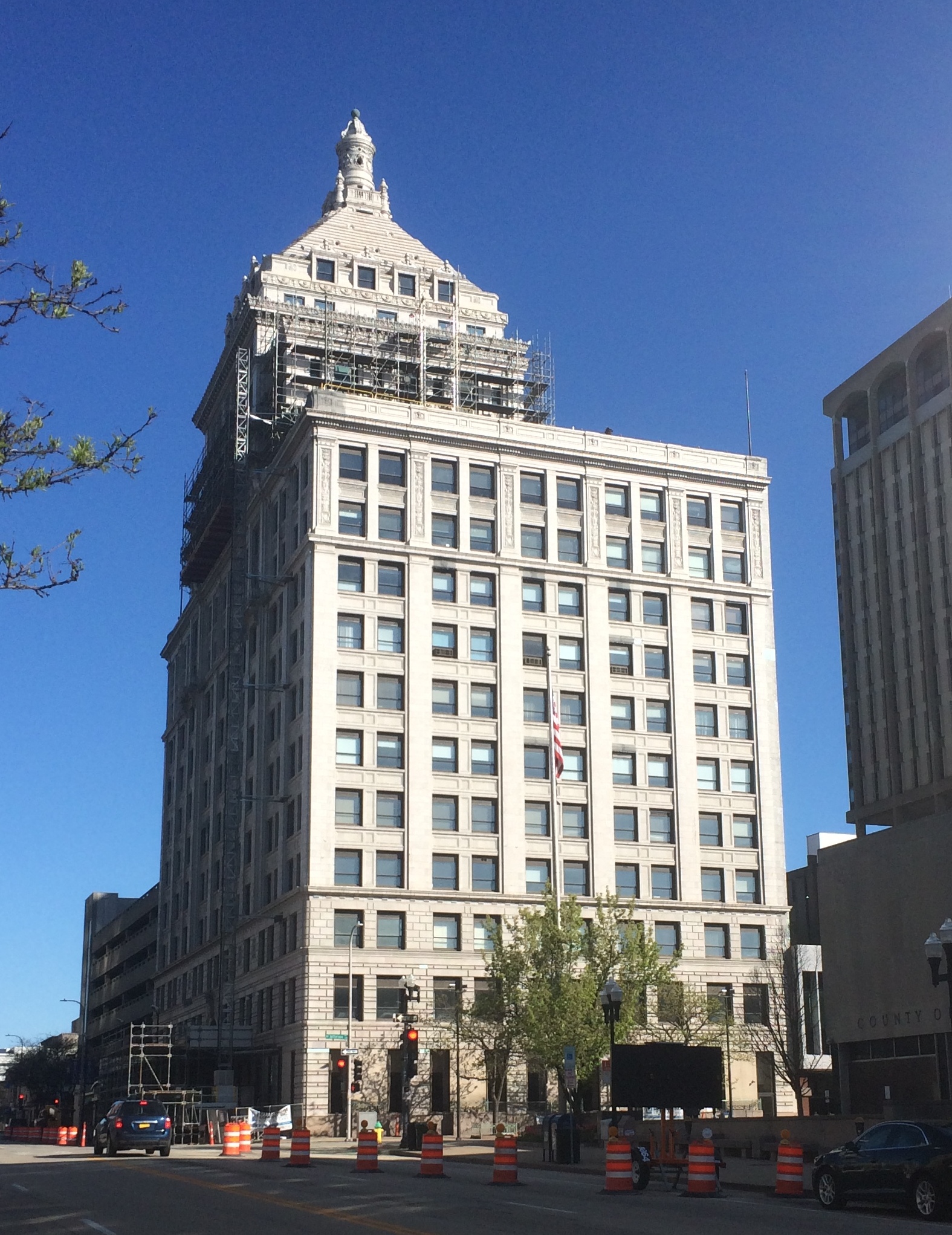
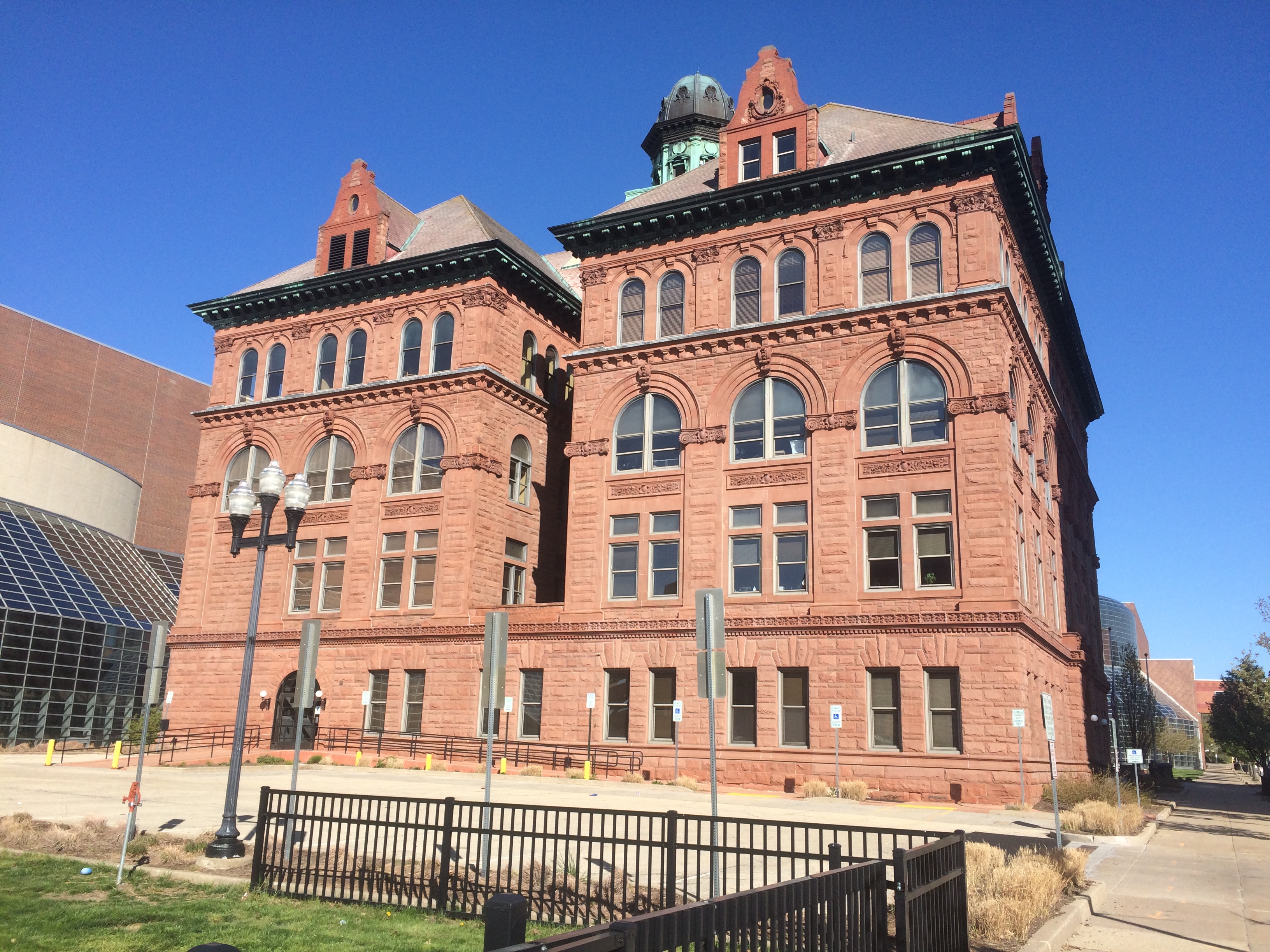
The Irving School was the Peoria School District’s oldest school, built in 1898, when it closed in 2012.
“Irving and Peoria City Hall are the city’s only two representations of the architecturally significant Flemish Renaissance design,” noted the Journal Star at the time. What are the odds that I’d see both of them on the same morning during a ramble in Peoria? Not bad, actually, since Peoria isn’t that large.
Looks like it’s being redeveloped, to judge by the construction truck. The buildings on the hill, incidentally, form the OSF Saint Francis Medical Center, the largest hospital in metro Peoria.
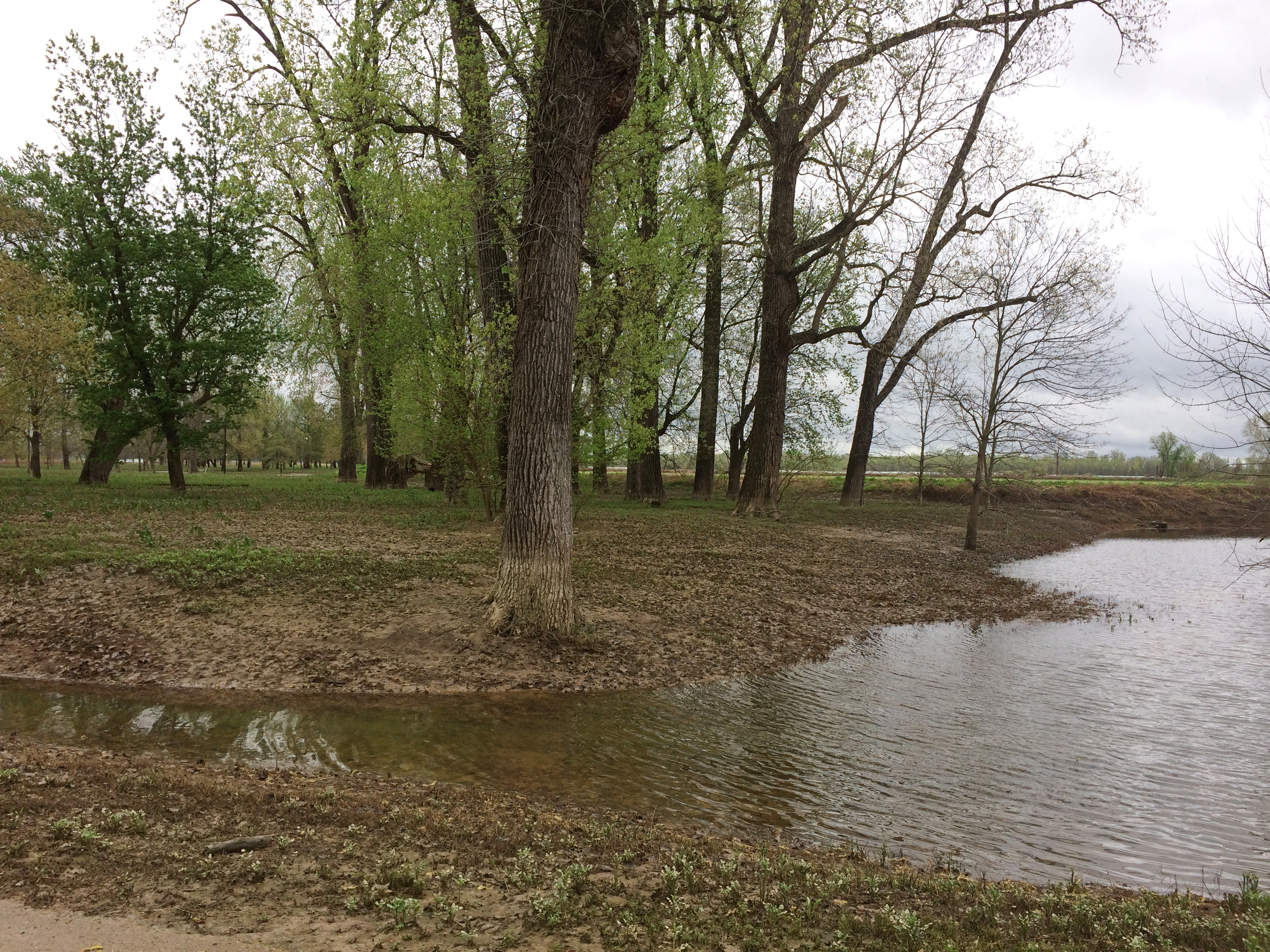
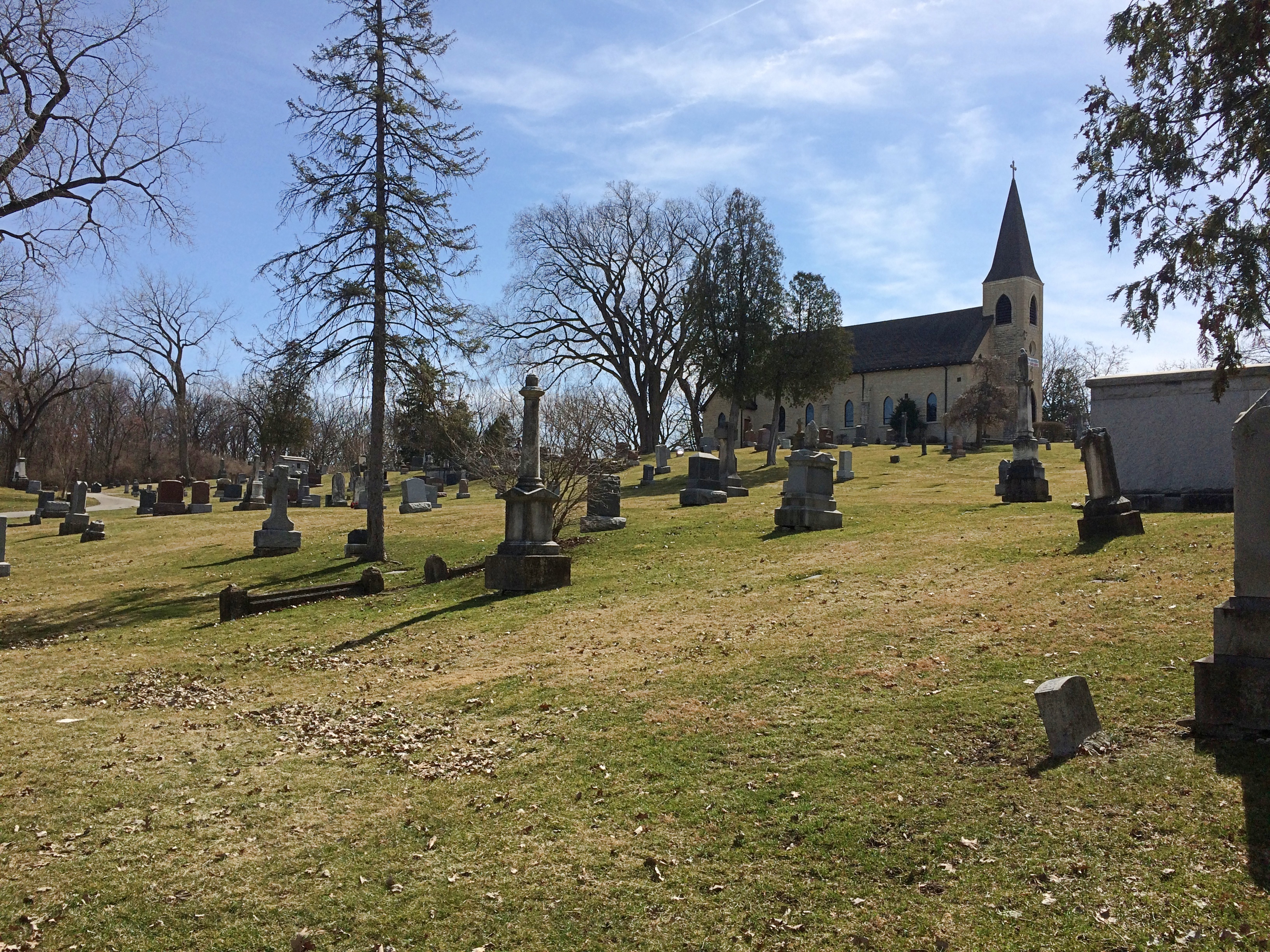
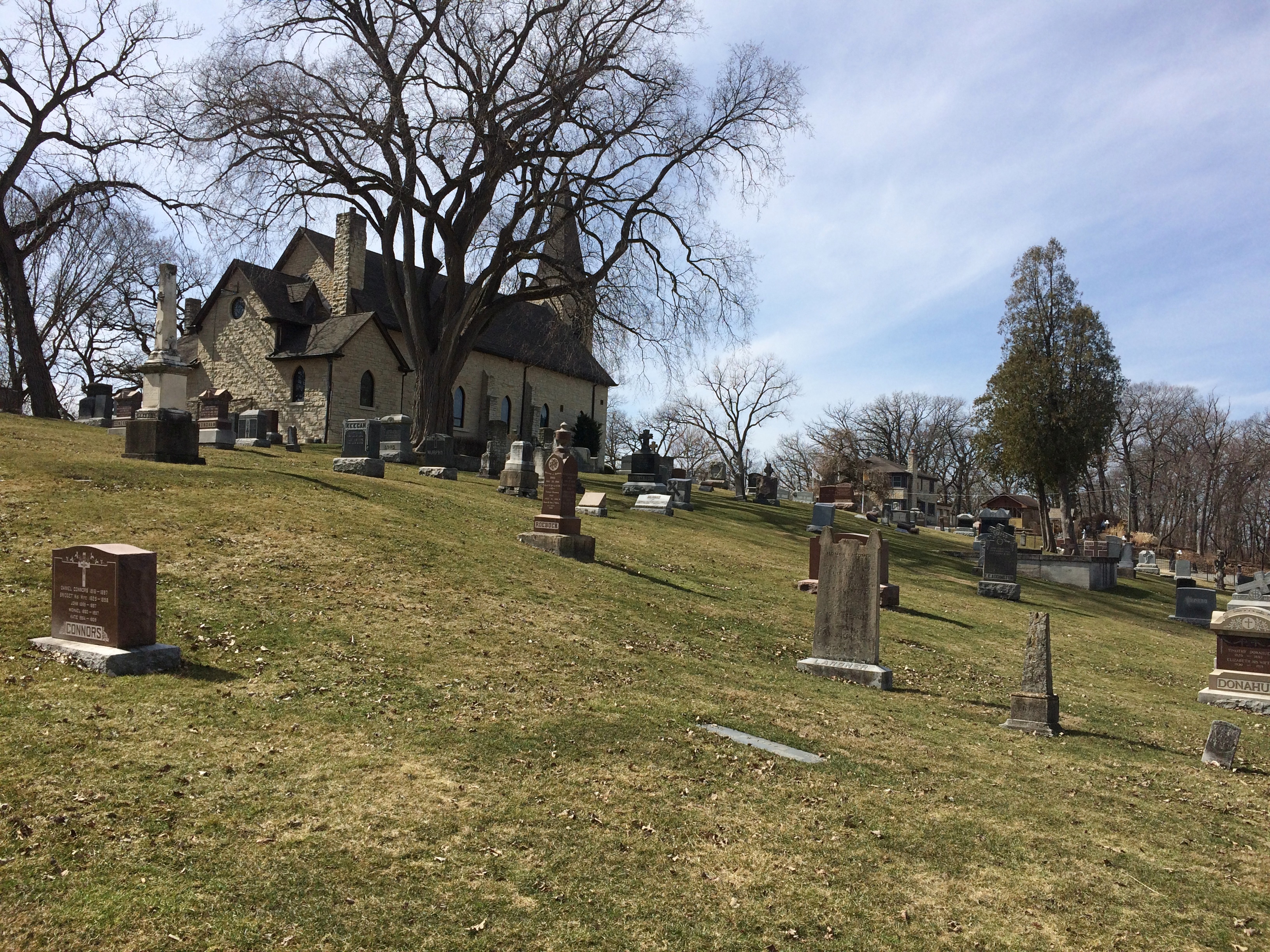
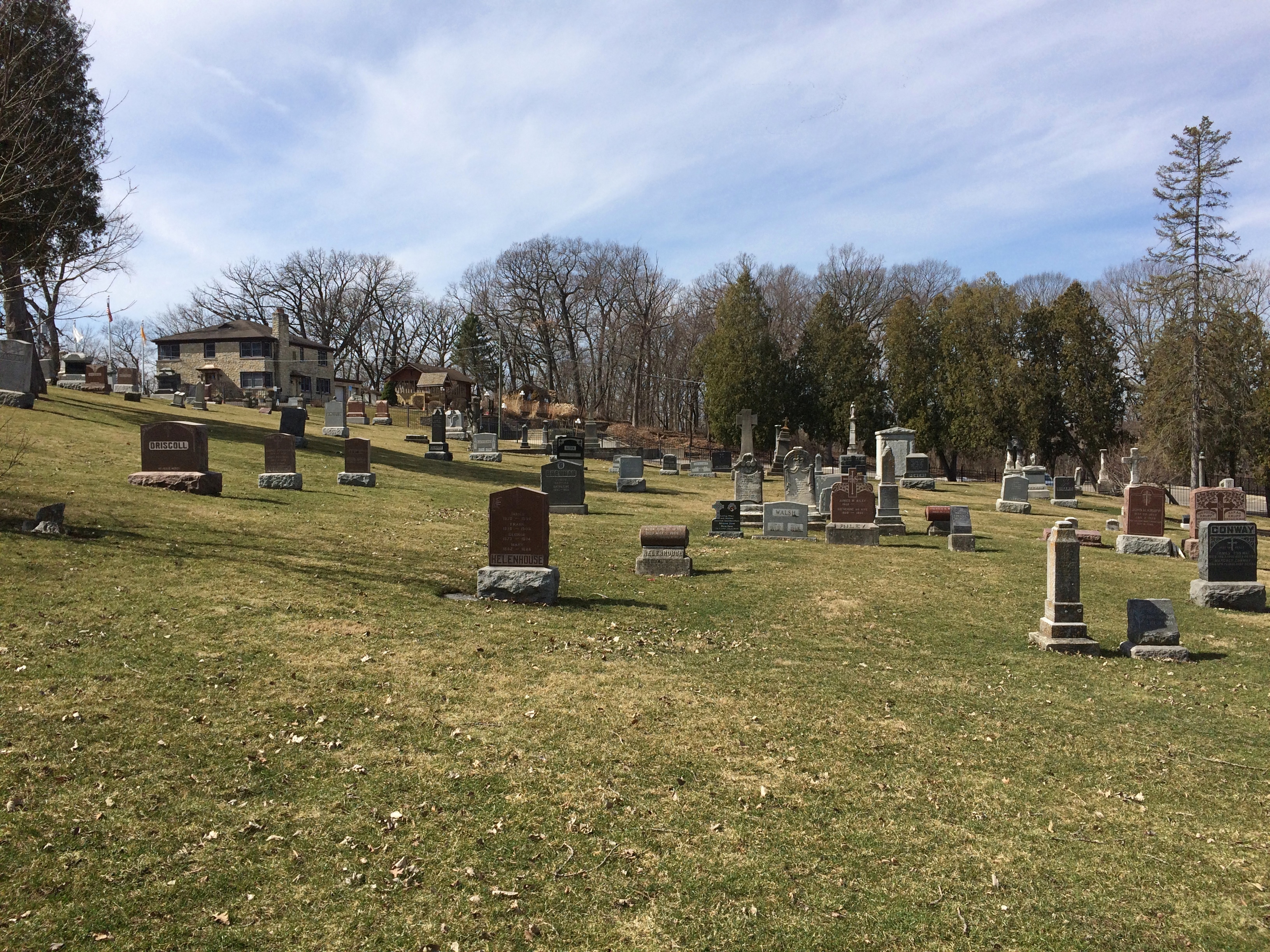
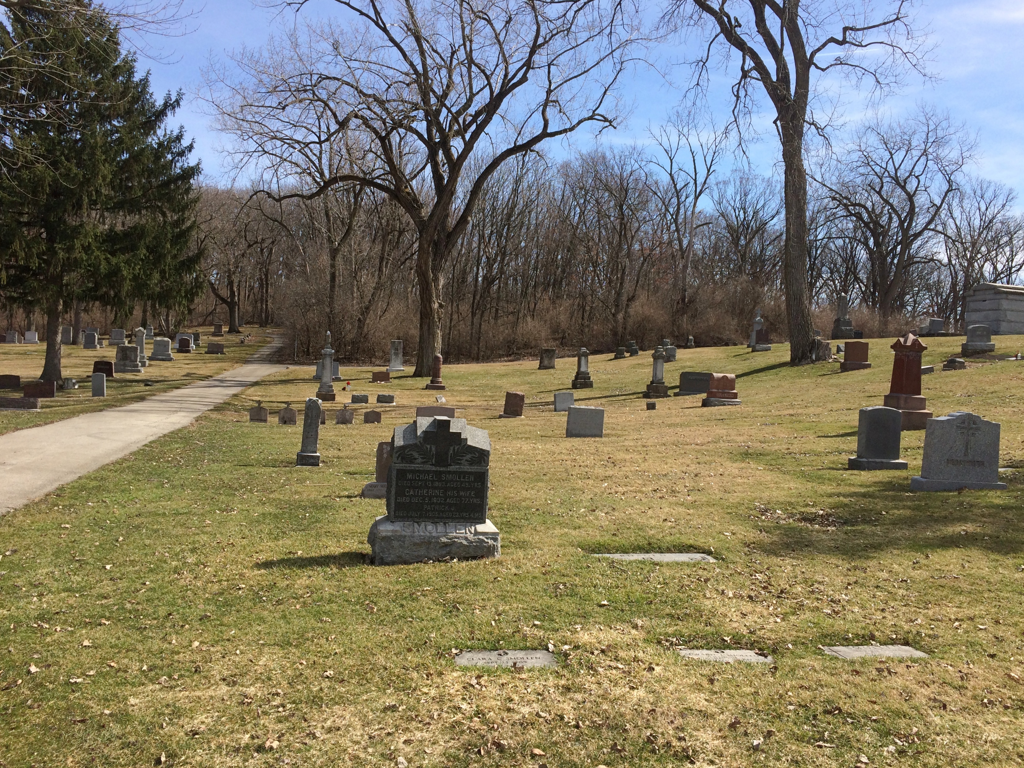
Last time we went to Peoria, we visited the Springdale Cemetery. Next to it is the Peoria Zoo, Luthy Botanical Gardens and Glen Oak Park. This time we stopped for a few minutes at the entrance of that park, which happens to be on Dan Fogelberg Parkway.
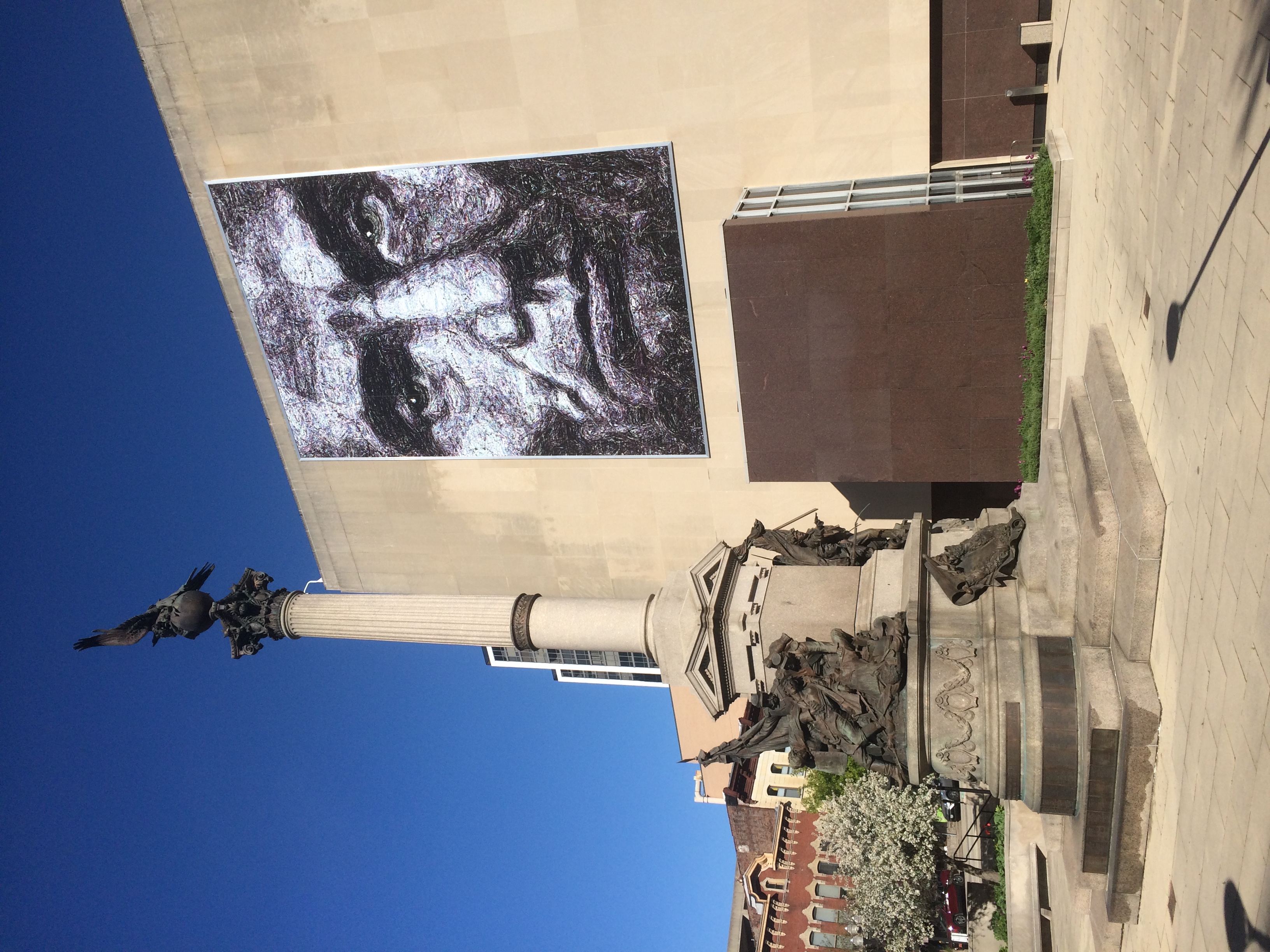
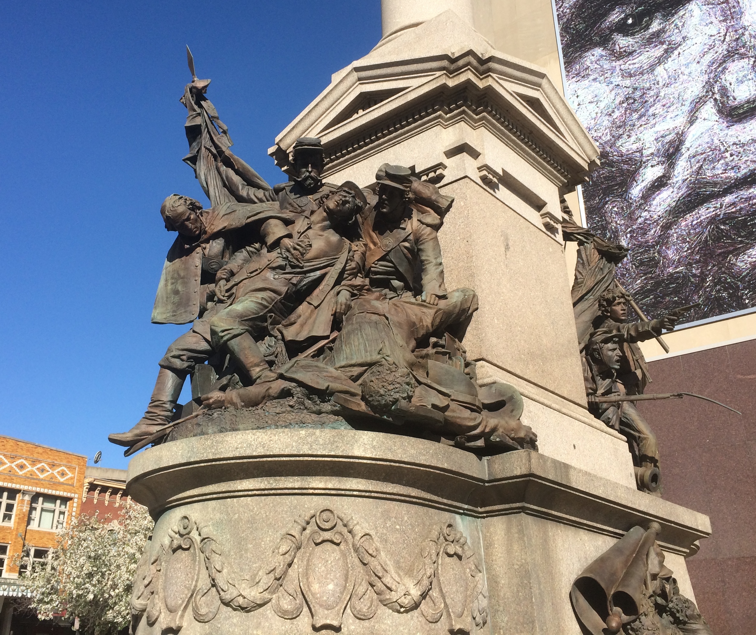
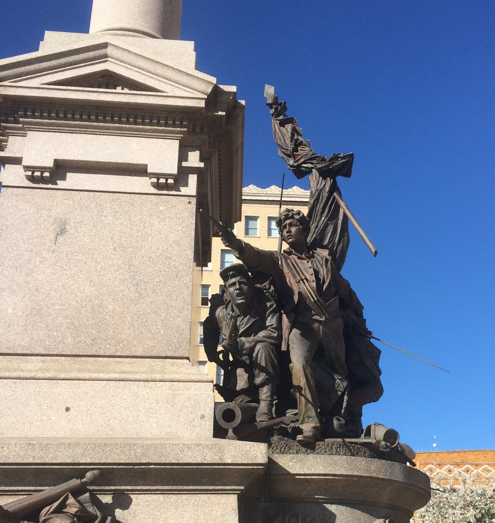
We went there because I want to see the statue of the Great Agnostic. I’m glad to see that the artist — no other than Fritz Triebel — wasn’t trying to hide the man’s portliness. That was insurance against 19th-century wasting diseases, anyway.
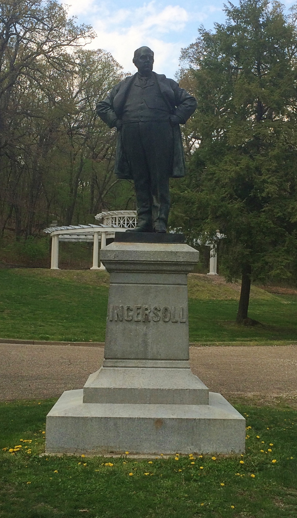
If I ever knew it, I’d forgotten that Robert G. Ingersoll (1833-99) spent much of his adult life in Peoria, though he lived other places, such as Shawneetown (before it was Old Swaneetown). He’s not buried in Illinois, however, but Arlington National Cemetery, as befits the commander of the 11th Illinois Volunteer Cavalry of the Union Army.
I can’t remember how I first heard of him, but it was in high school. He’s another of those interesting public intellectuals who’s been completely forgotten, which would be almost all of them. Forgotten except by his hometown, though I expect most Peorians don’t know who he was either.
While driving on I-74 just west of downtown, I saw a sign pointing to an individual’s grave nearby — a rare thing, now that I think about it. The individual was Susan G. Komen. I was still by myself at that point, so there was no one to object to checking out yet another cemetery.
She’s in a niche in Parkview Cemetery.

It occurred to me as I read the nearby plaque that I knew nothing about her, except that her name is attached to the breast cancer foundation. She died from the disease in 1980 at age 36. It was her sister, Nancy G. Brinker, who established the foundation.
Later Nancy Brinker was U.S. ambassador to Hungary, early in Bush the younger’s administration, a job I expect she got since she and her husband, the inordinately successful chain restaurateur Norman Brinker, were serious donors to the Bush campaign. (Seems she also had enough pull to have a sign put up directing people to her sister’s memorial.)
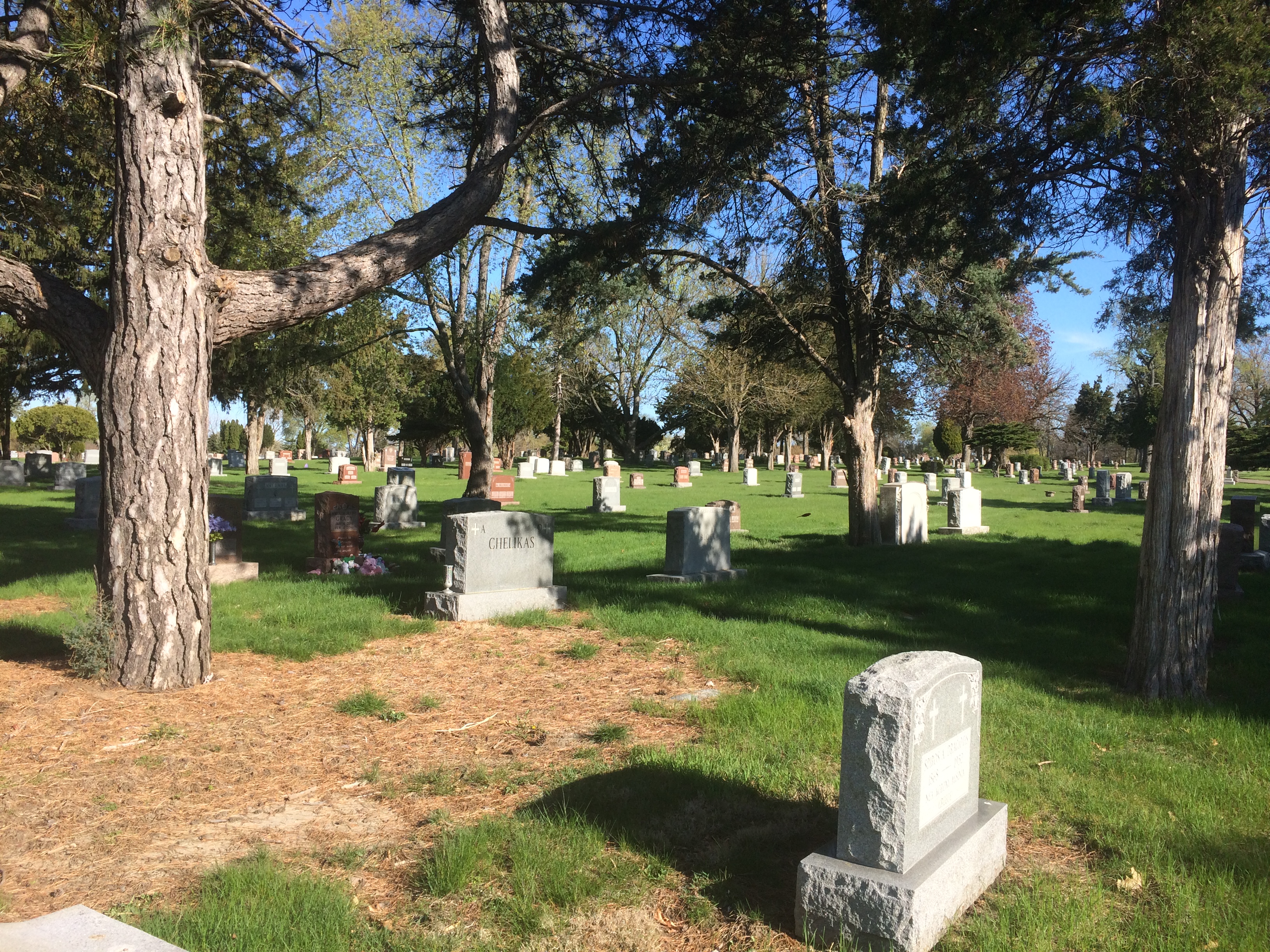
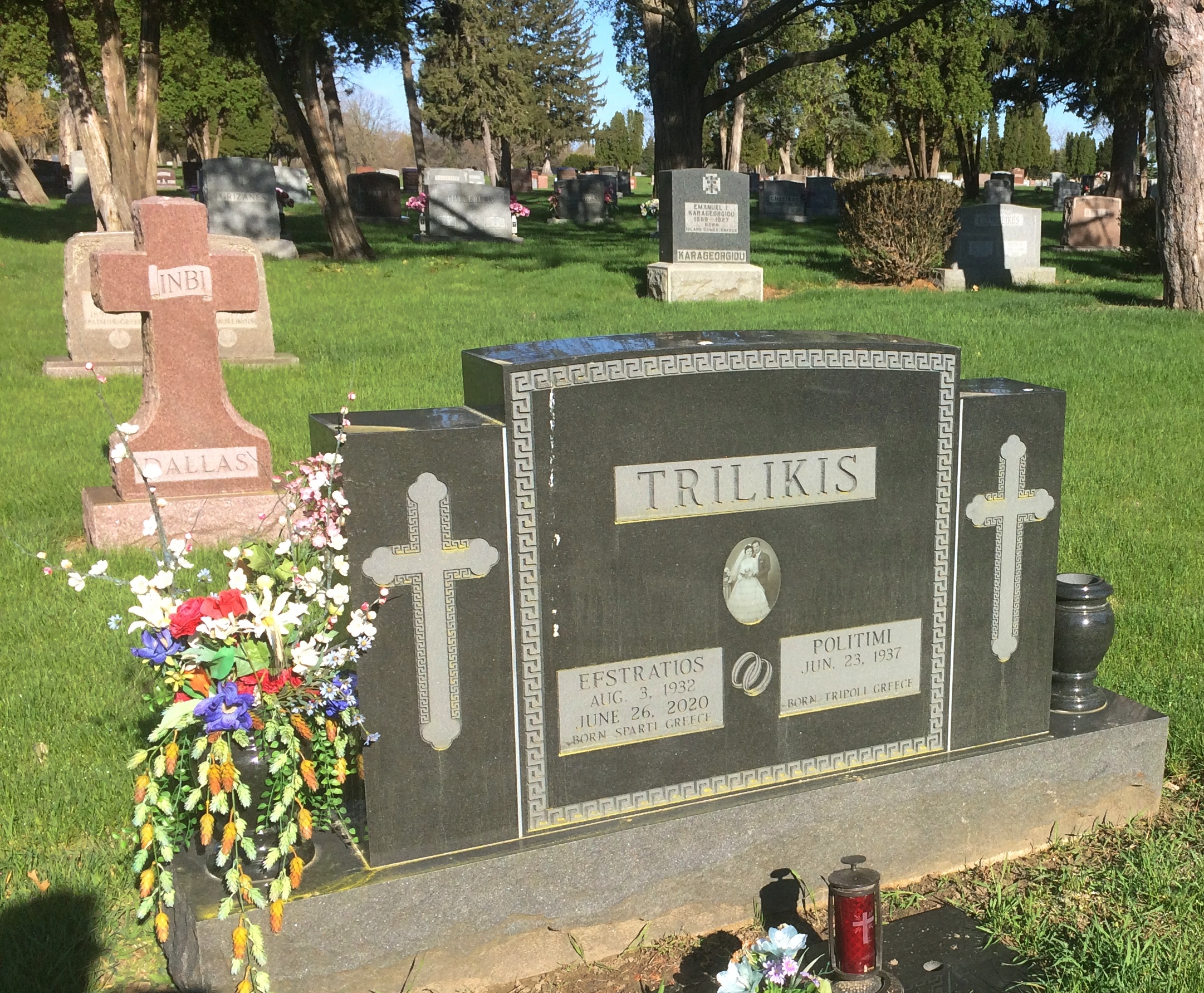
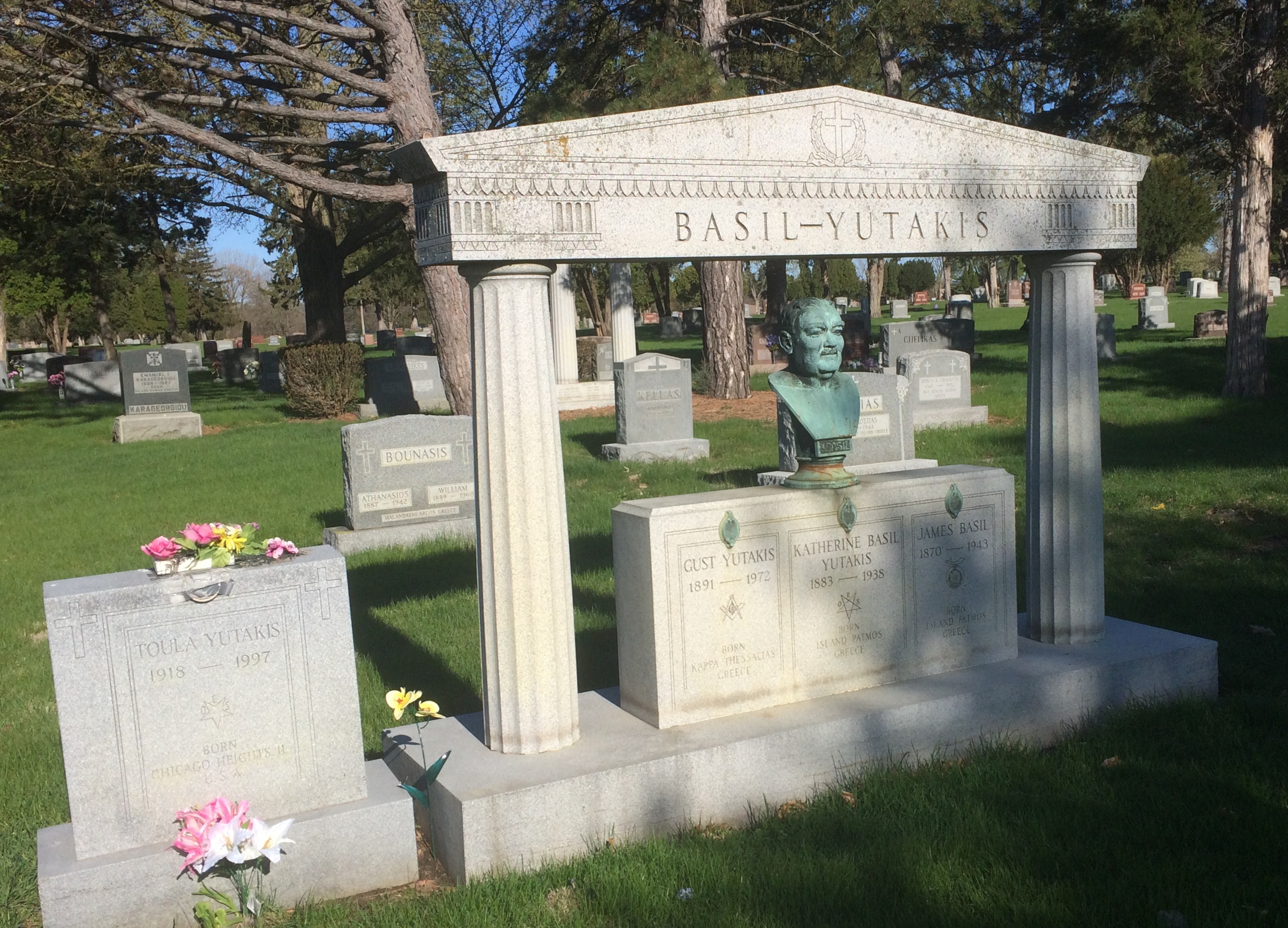
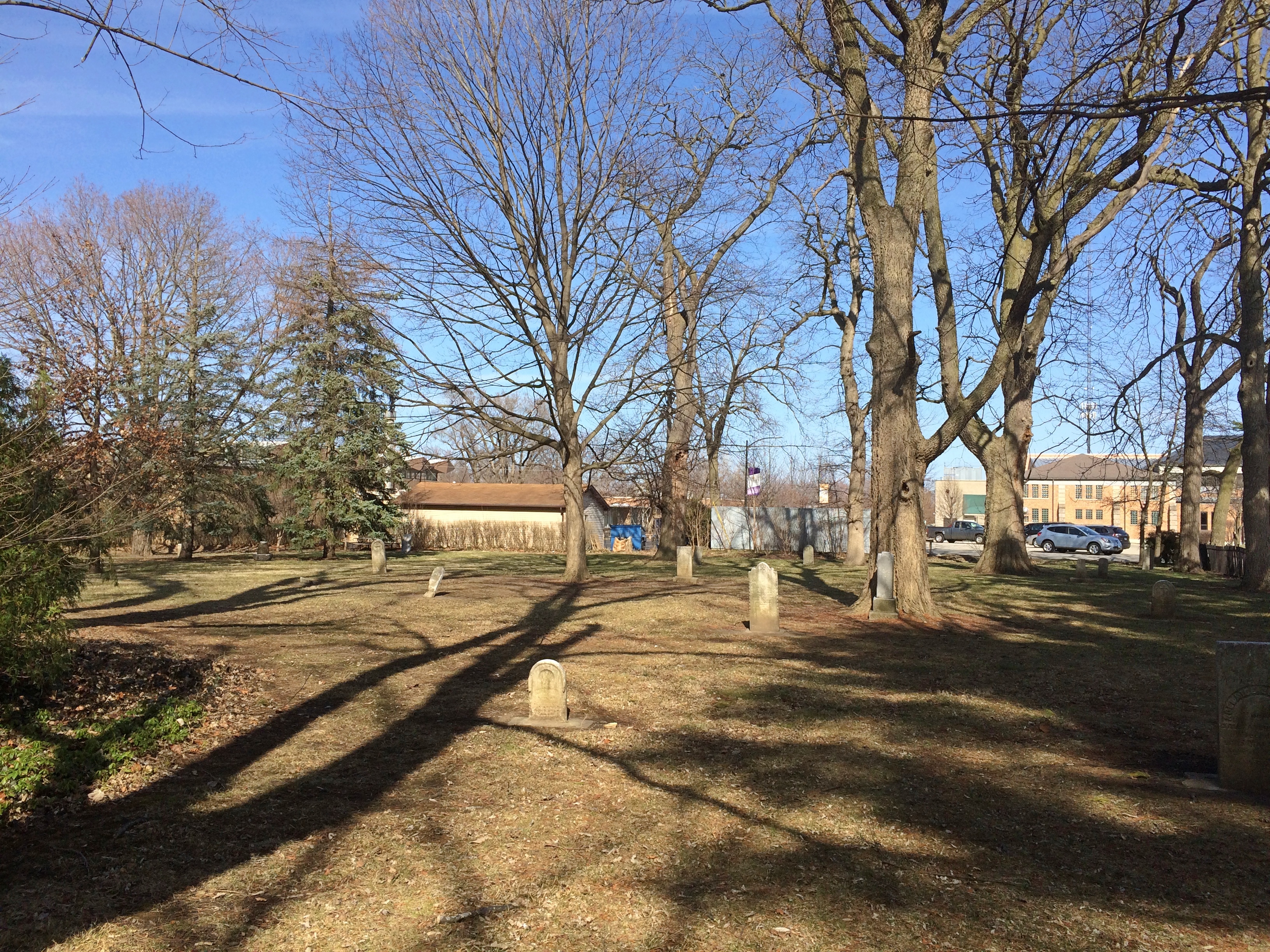
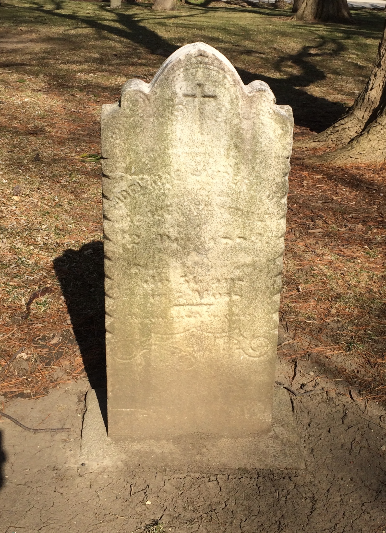
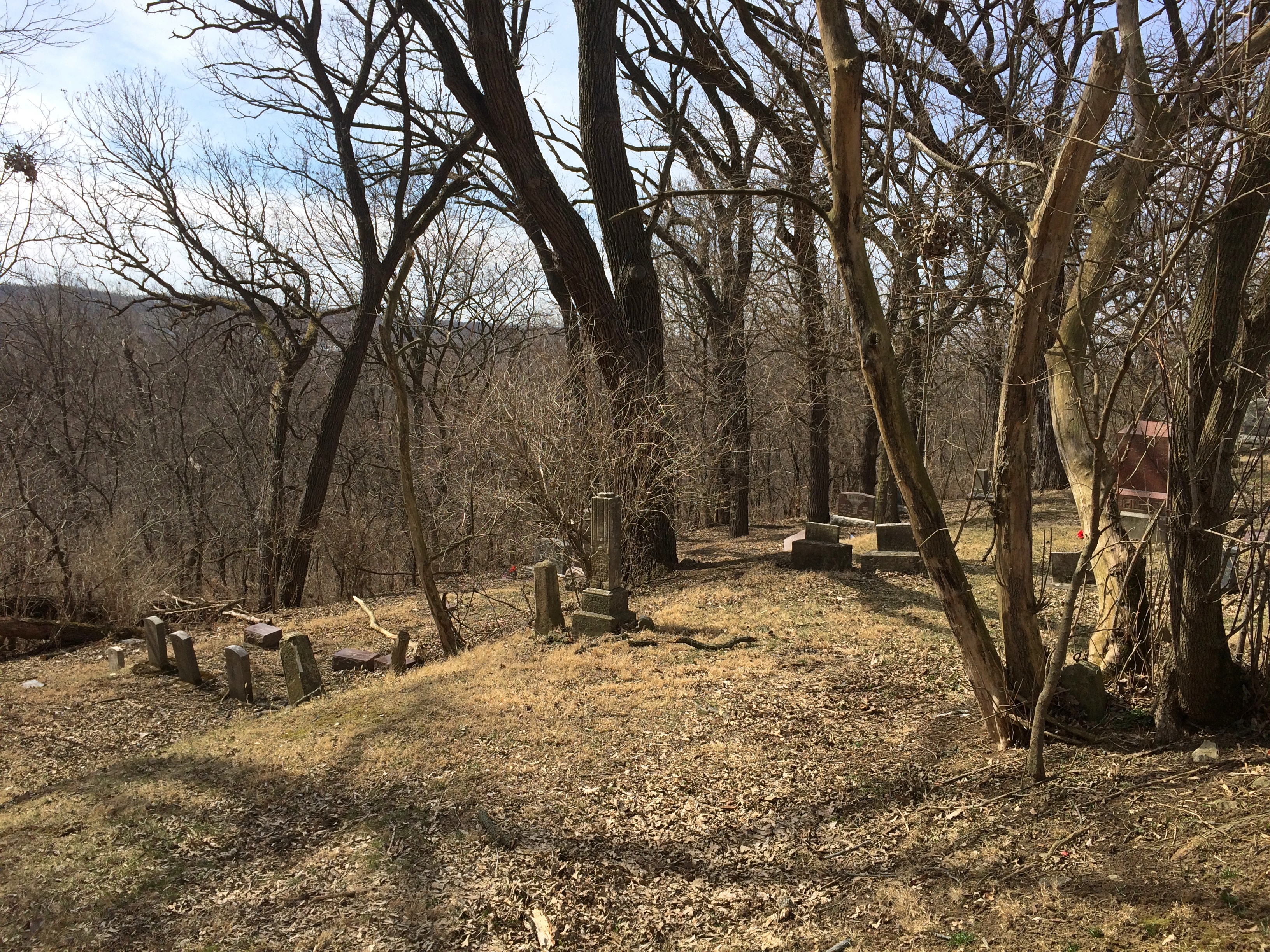
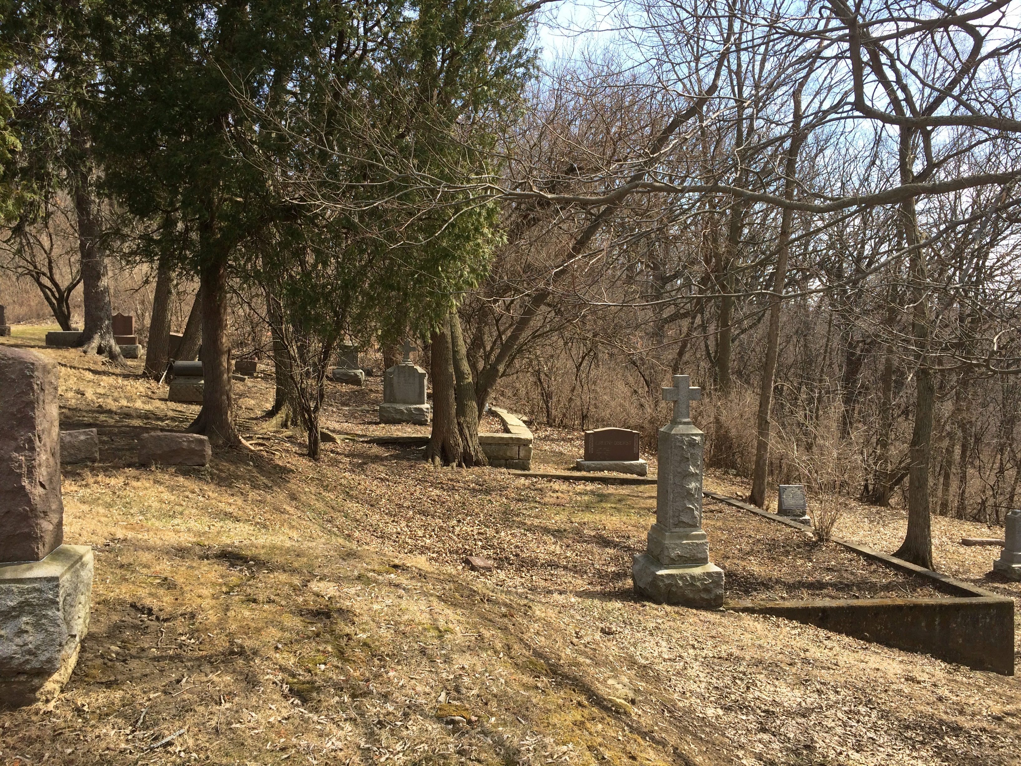
Parkview is pleasant enough, but not nearly as picturesque as Springdale. Still, I found an interesting but probably informal section where a good many Greeks or people of Greek ancestry are buried.
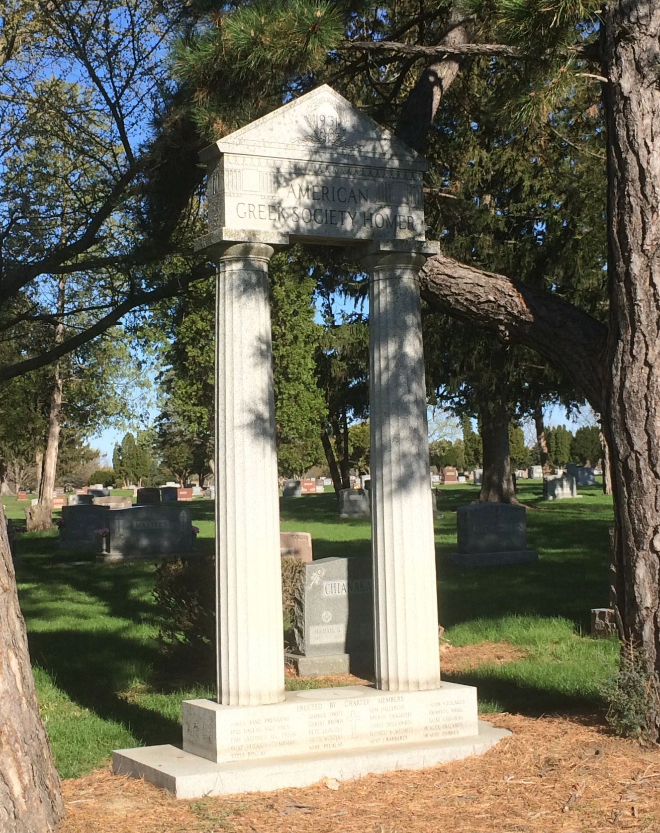
This structure says, 1931 American Greek Society Homer on top. Below it says, Erected by Charter Members, with a list of names of a distinctly Hellenic cast.
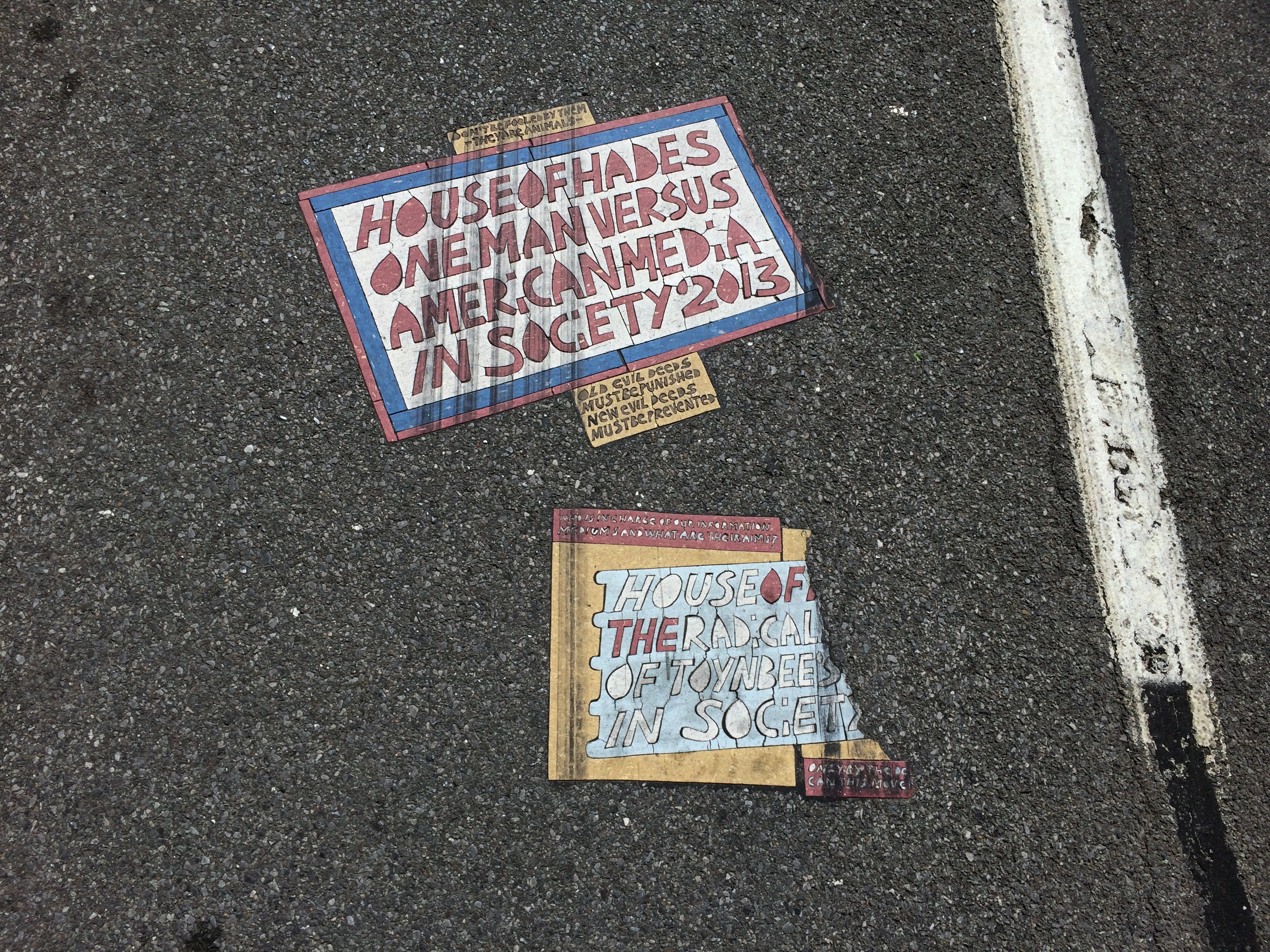
The afternoon we arrived in Peoria, we were driving along Adams Street not far from downtown when suddenly we saw the famed (well, 15 minutes) Cookie Monster mural. Imagine my delight. I had to stop to take pictures of that.
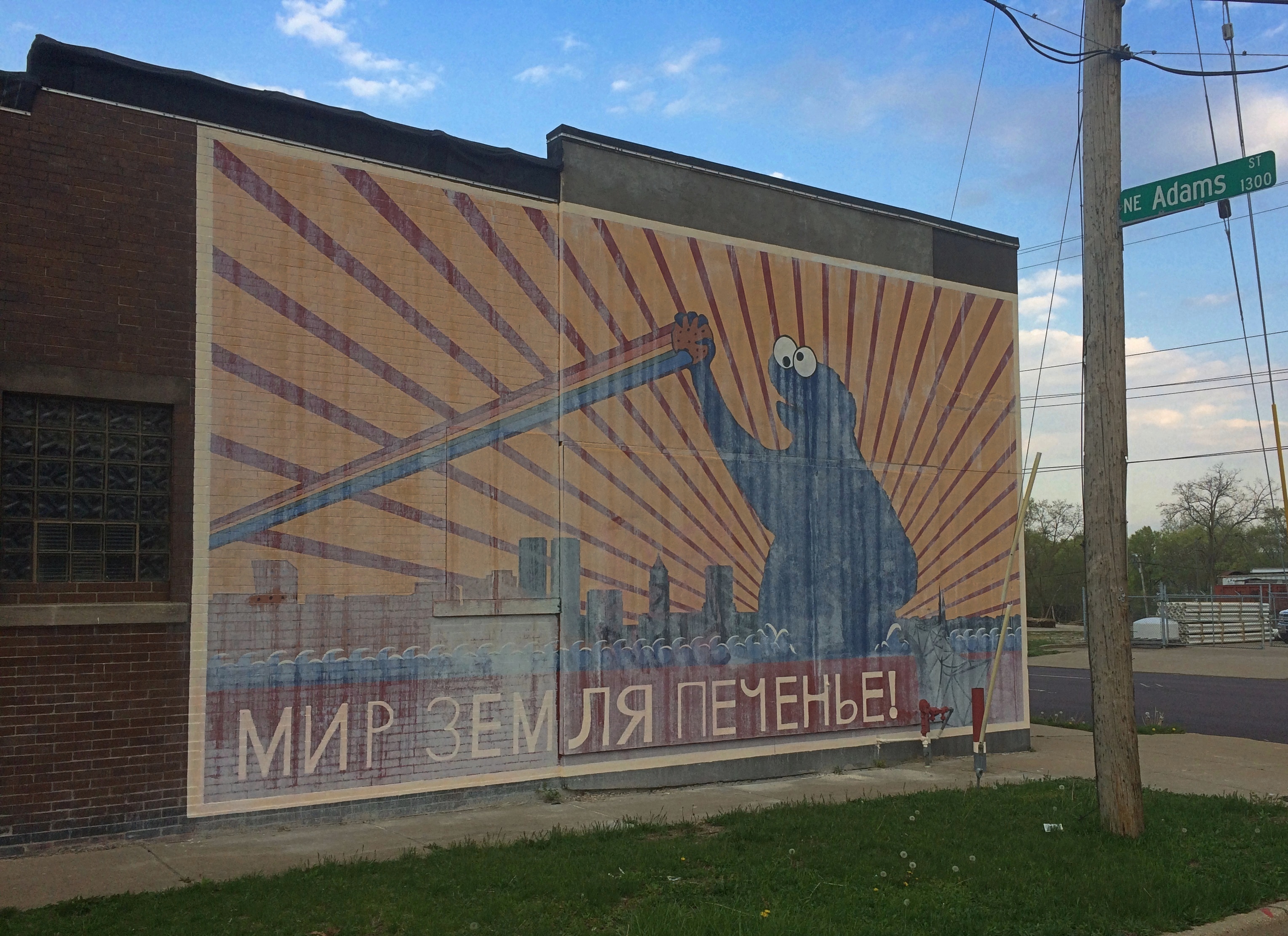
The mural got national attention late last year. As reported, the story was that a mysterious man (Fake Nate) paid an artist (Joshua Hawkins) to do the mural, claiming he was the building’s owner. The real owner (Real Nate) came back from a Thanksgiving trip to find the mural, and expressed outrage. The artist said he’d been tricked, too. Then Real Nate painted over the mural. Fake Nate’s identity and motive — and there must have been a strong one, since Hawkins reported being paid “a lot” in cash for the work — remained elusive.
It’s an odd story. But soon I’d forgotten that the small building, which is absolutely nondescript in every other way, was in Peoria. When I saw the mural, I remembered.
But wait — wasn’t it painted over? Whitewashed is more like it, since spring rains had clearly removed most of the covering, rendering Bolshevik Cookie Monster visible again.
As I stood across the street taking pictures, a stubby, wrinkled, gray-haired man got out of his car not far away and tried to enter a small bar on my side of the street. He found it closed.
“It’s closed,” he said to me, heading back toward his car.
“What’s the deal with that?” I asked, pointing toward the mural.
“It’s some kind of joke,” he said, and related a bit of the reported story. But then he expressed skepticism that it really happened that way. Rather, he suspected, the artist and the property owner cooked up the story to help sell the building — which, I read later, the owner did not long ago — and help get the artist some attention, too.
That’s certainly plausible. There’s no doubt that the artist is capitalizing on it. If it didn’t involve paying $35 ($25 for the item, $10 for shipping), I’d consider buying a t-shirt with the mural on it, as offered at the artist’s web site along with other merch. (That’s too much for any t-shirt.)
Maybe, maybe not. Doesn’t matter. It’s an inspired bit of whimsy. Мир, земля, печенье (Peace, Land, Cookies) is a play on the Bolshevik slogan, Мир, земля, хлеб (Peace, Land, Bread), and there is a touch of early red propaganda poster to the thing.
If the new building owner, and the city of Peoria, has any sense, they’ll keep the mural. Restore it, in fact. Besides being funny, at least to some of us, it’s a distinct thing to be found there and absolutely nowhere else.
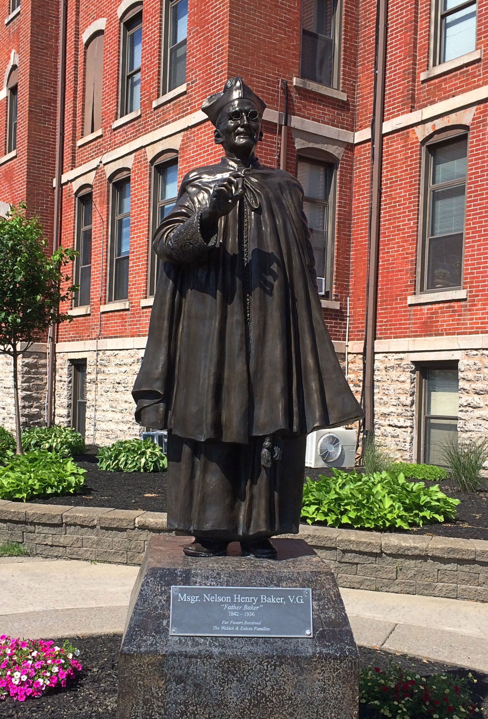
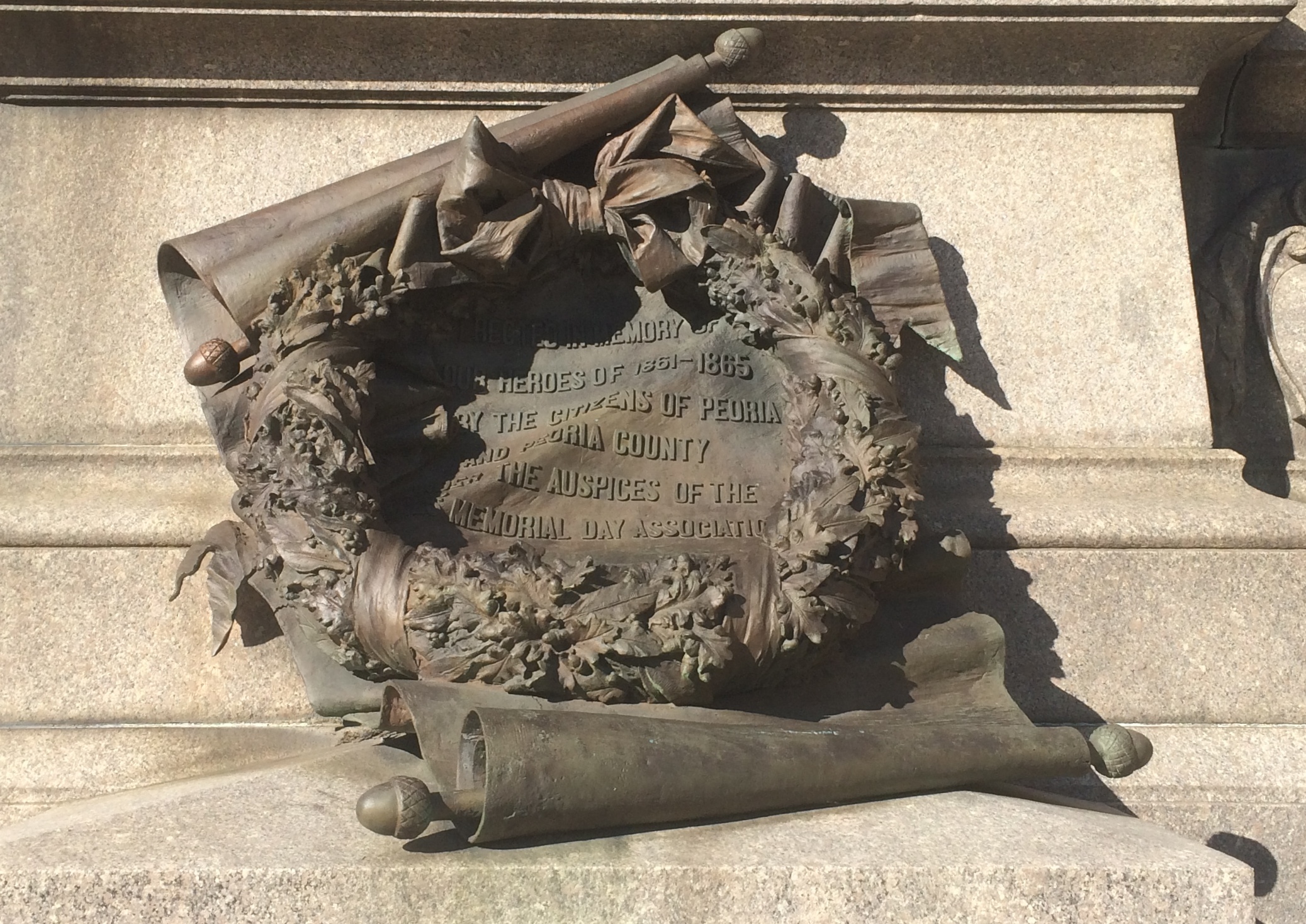
 Baker declined credit for his many legacies, it seems, with his quote on the matter on the pedestal.
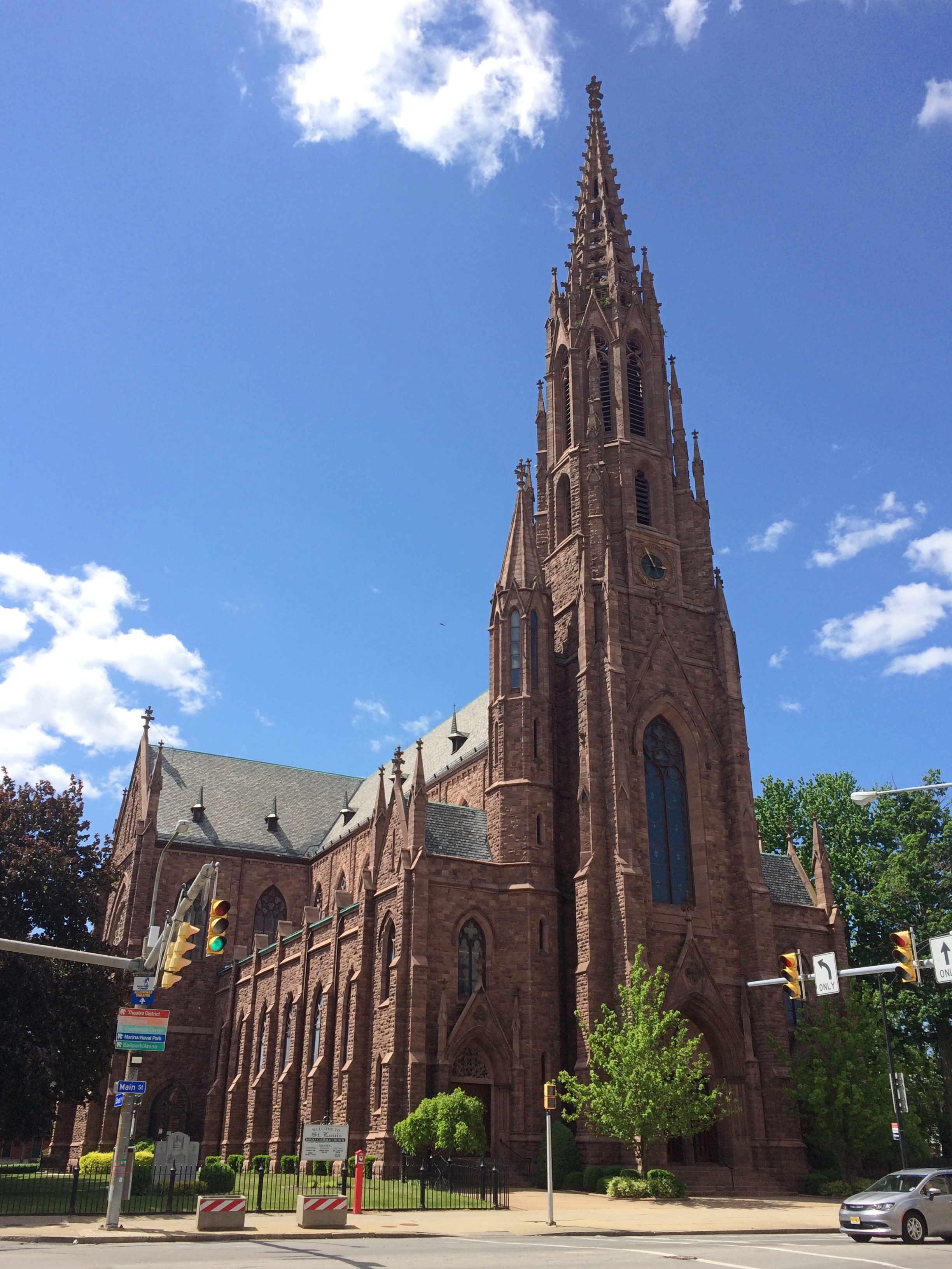

