Madsen Drive Walk

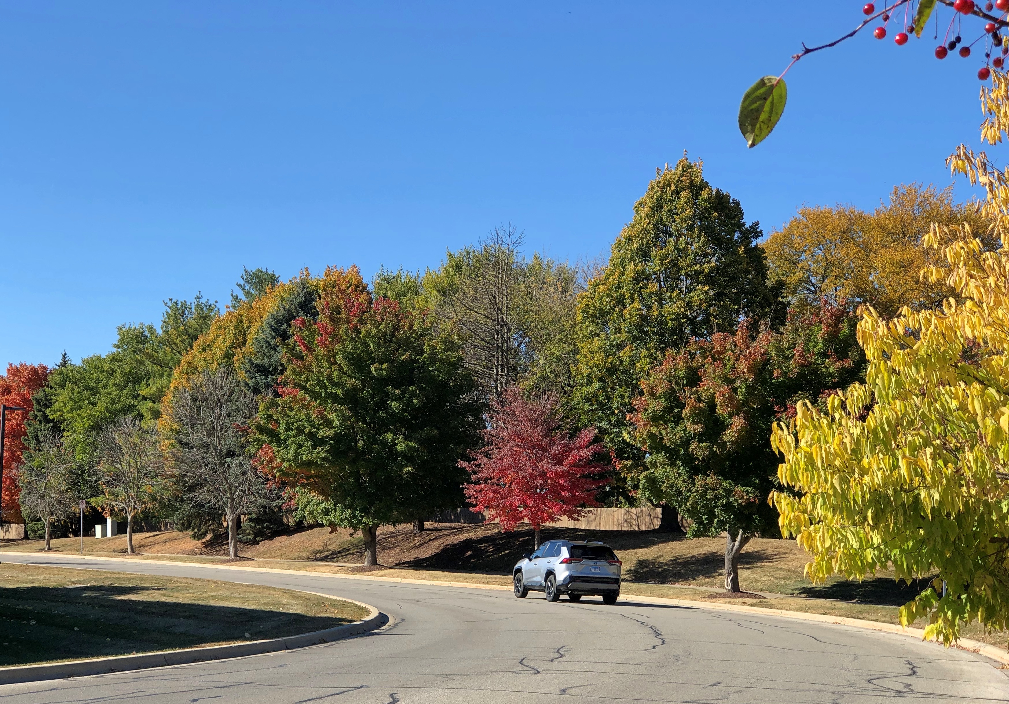
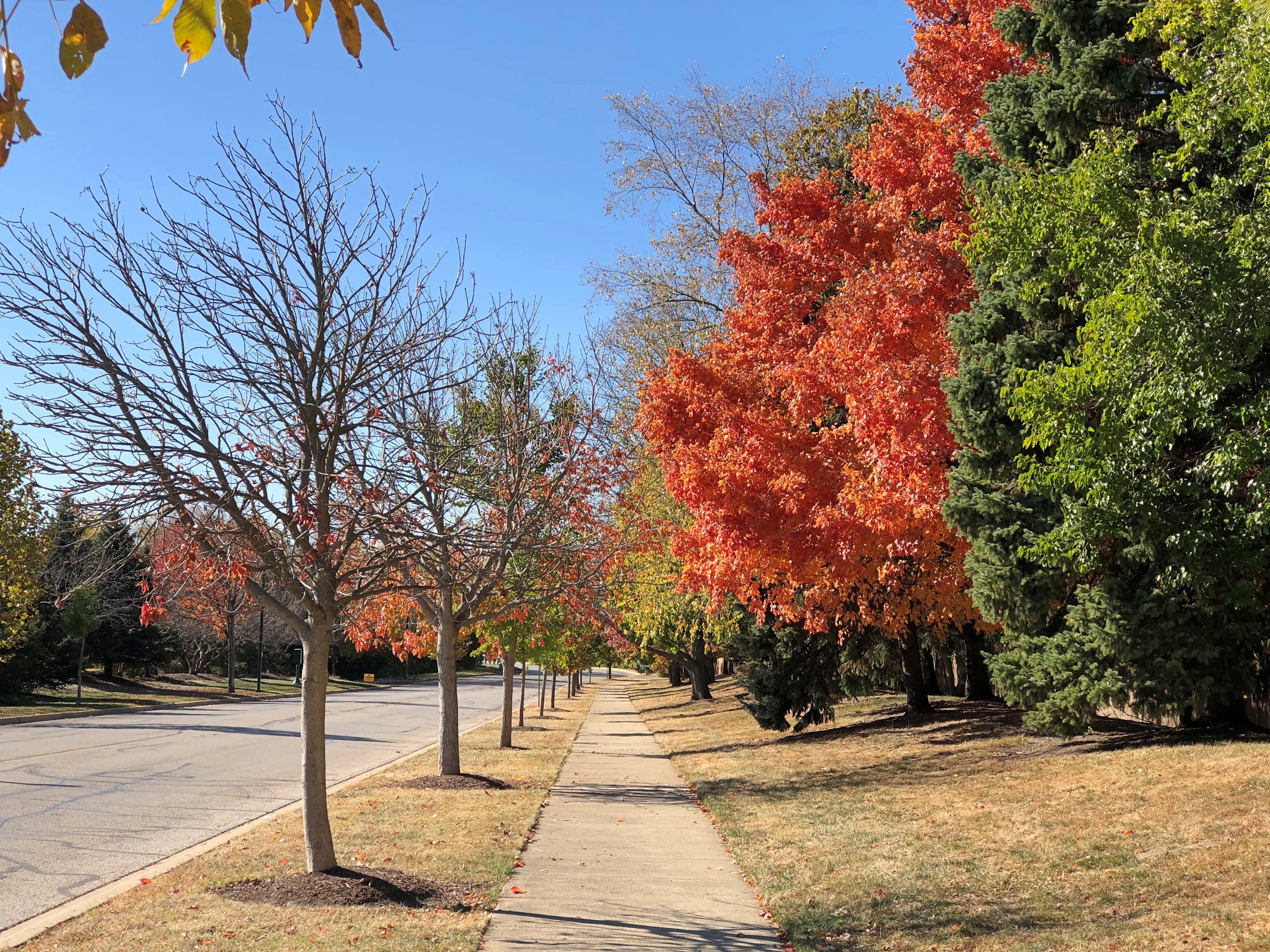
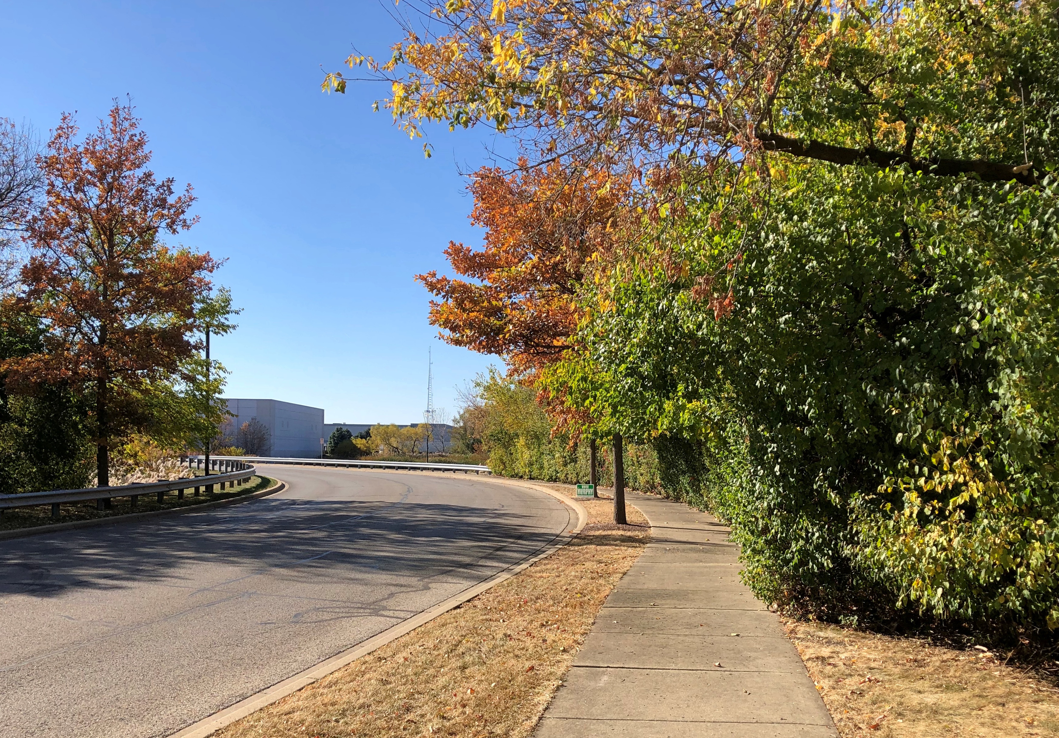
It was an odd ambition, and fairly minor, but I’m glad I fulfilled it. Namely, a 20-minute or so walk along Madsen Drive, a street in Bloomingdale, Illinois. Also glad I did it when I did: October 24, for the colors.

Bloomingdale is a sizable burg in DuPage County, but there’s nothing conventionally distinctive about Madsen Drive. It isn’t on anyone’s list, such as Ten Best Can’t-Miss Bucket List Don’t Get FOMO Travel Faves, etc. I know about it because I’ve been driving on it for years as a shortcut to a warehouse store we often visit. For quite a while, I had this idea that it would be a mildly scenic walk, since the drive is nice, but things whiz by. I also noted that a sidewalk runs all the way along it.

I was right: mildly scenic. Not everywhere gets Grand Teton-level scenery, but a lot places have enough for a nice-day stroll in the suburbs.

The street is industrial, which in this case means businesses located in distribution warehouses, which also means they might pay attention to who is in their parking lots. So parking somewhere near the street and then walking around might not be a good idea. The street is small, so no parking allowed on it either.

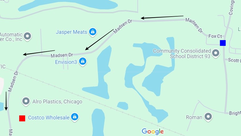
As we headed for our warehouse store that day, I told Yuriko that I was dropping myself off at the intersection of Madsen and Covington Drive (blue box), and she could drive on to the store. I would walk Madsen and meet her there (red box). She didn’t share my minor ambition in this case, because who would?
Near the dropoff.Madsen Drive, Bloomingdale Madsen Drive, Bloomingdale Madsen Drive, Bloomingdale

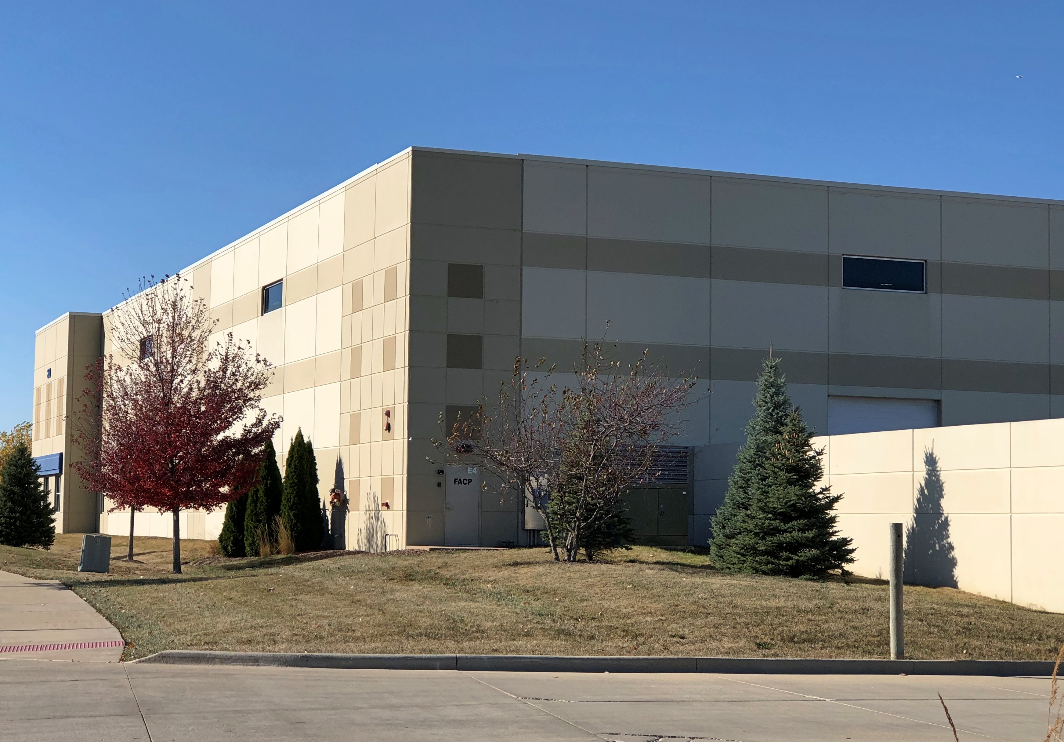
Though small, the road is surprisingly busy, something you notice when on the sidewalk, but not usually when you’re driving the road. Traffic is somewhat spaced out. Still, I saw a number of trucks headed for the warehouses along Madsen.Madsen Drive, Bloomingdale Madsen Drive, Bloomingdale

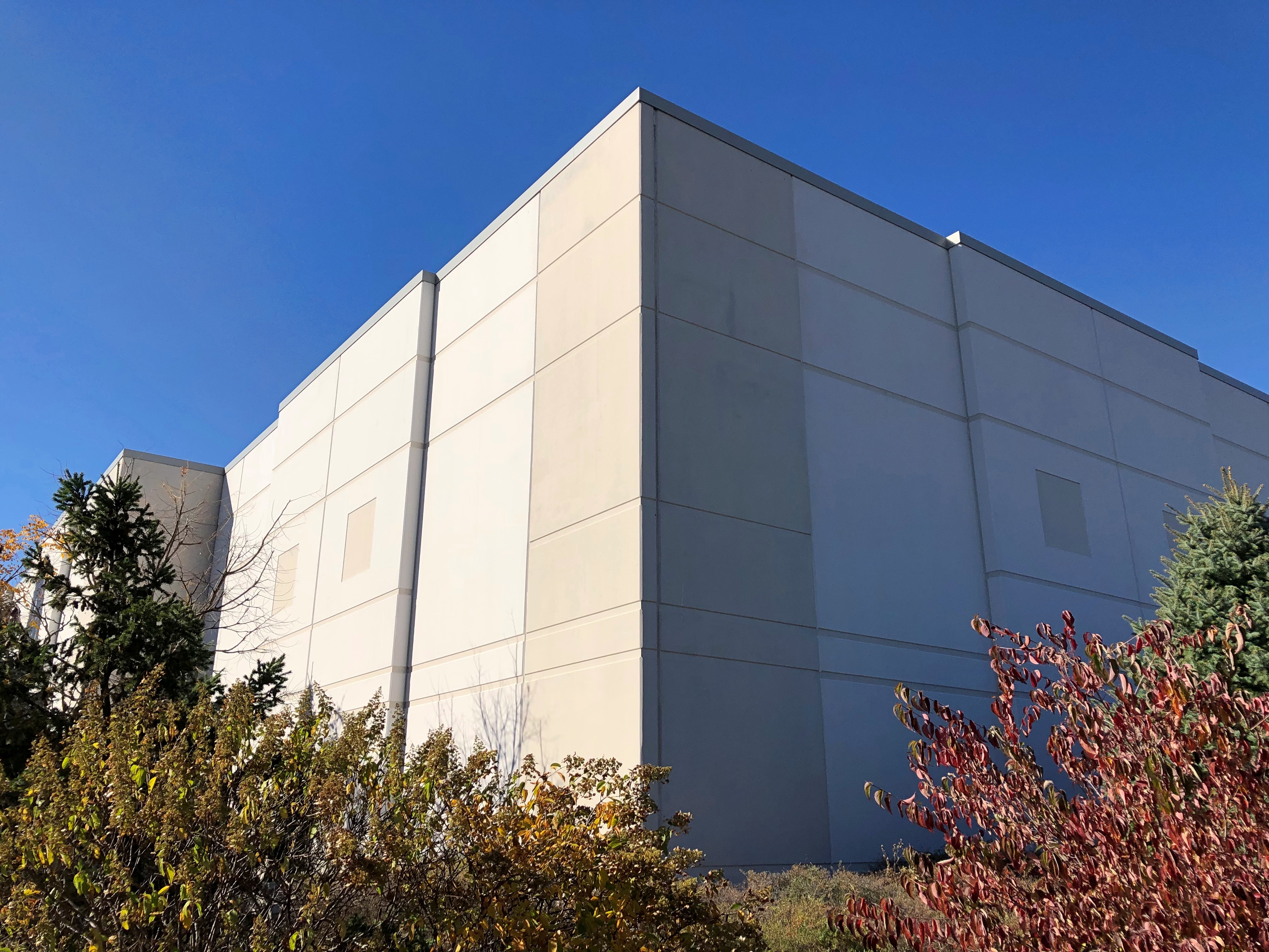
Not much in the way of original or ornate design, but I’ve come to appreciate the modern warehouse as workaday marvel that it is. An vital sinew of retail trade.

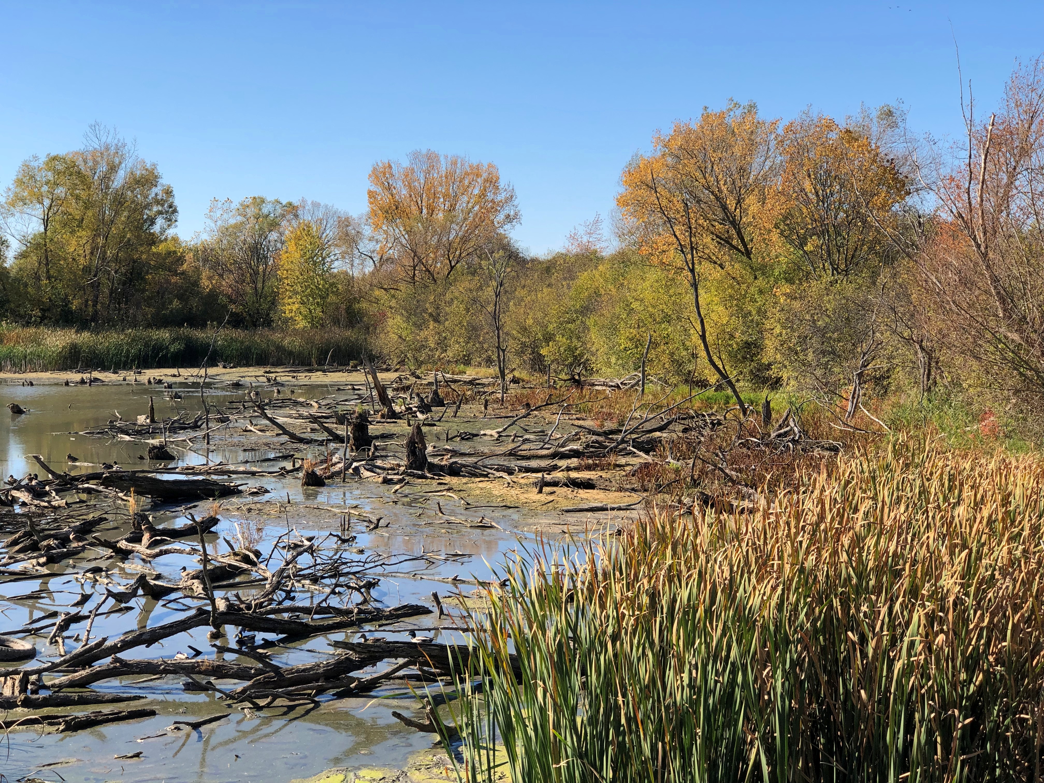
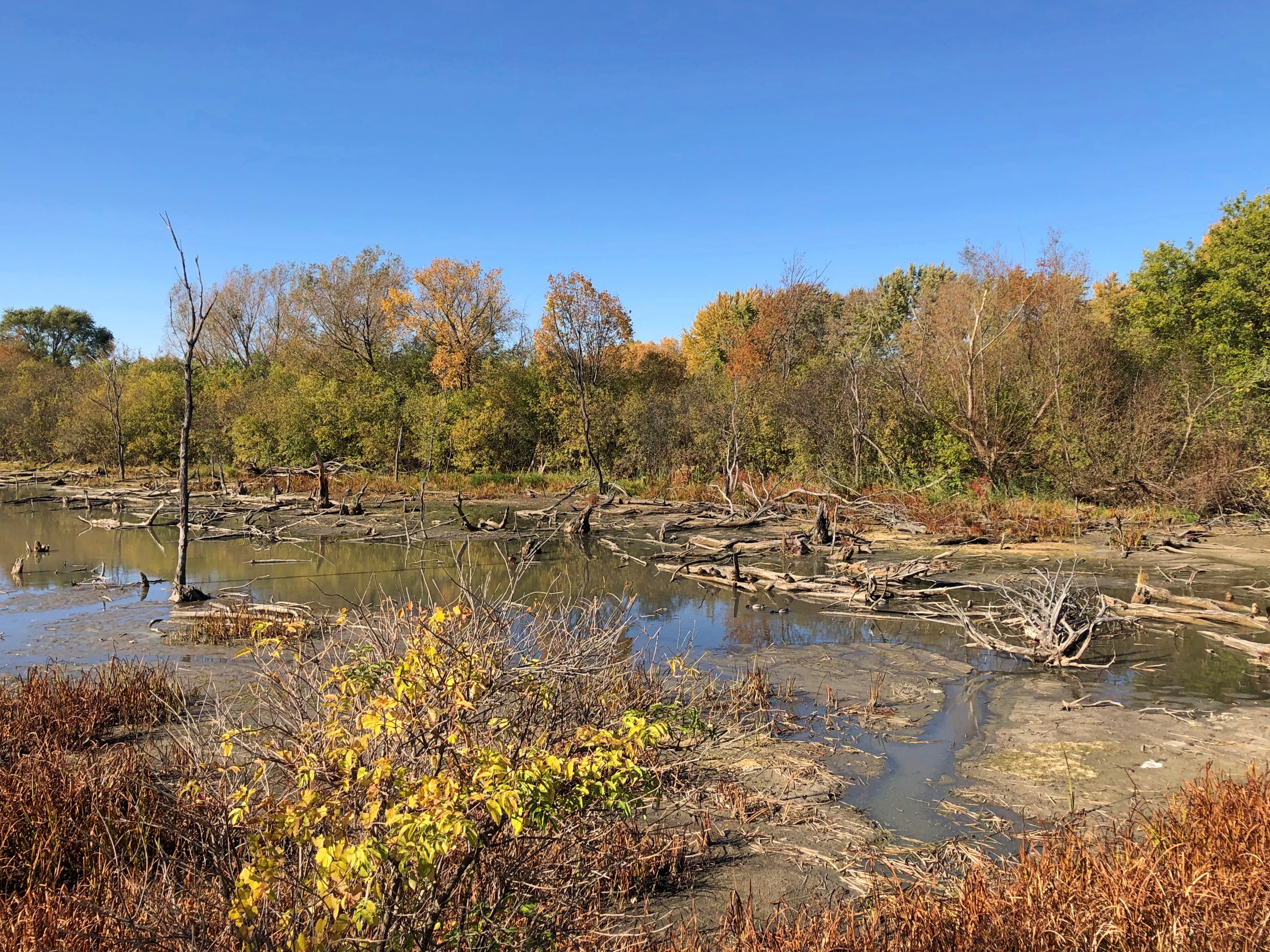
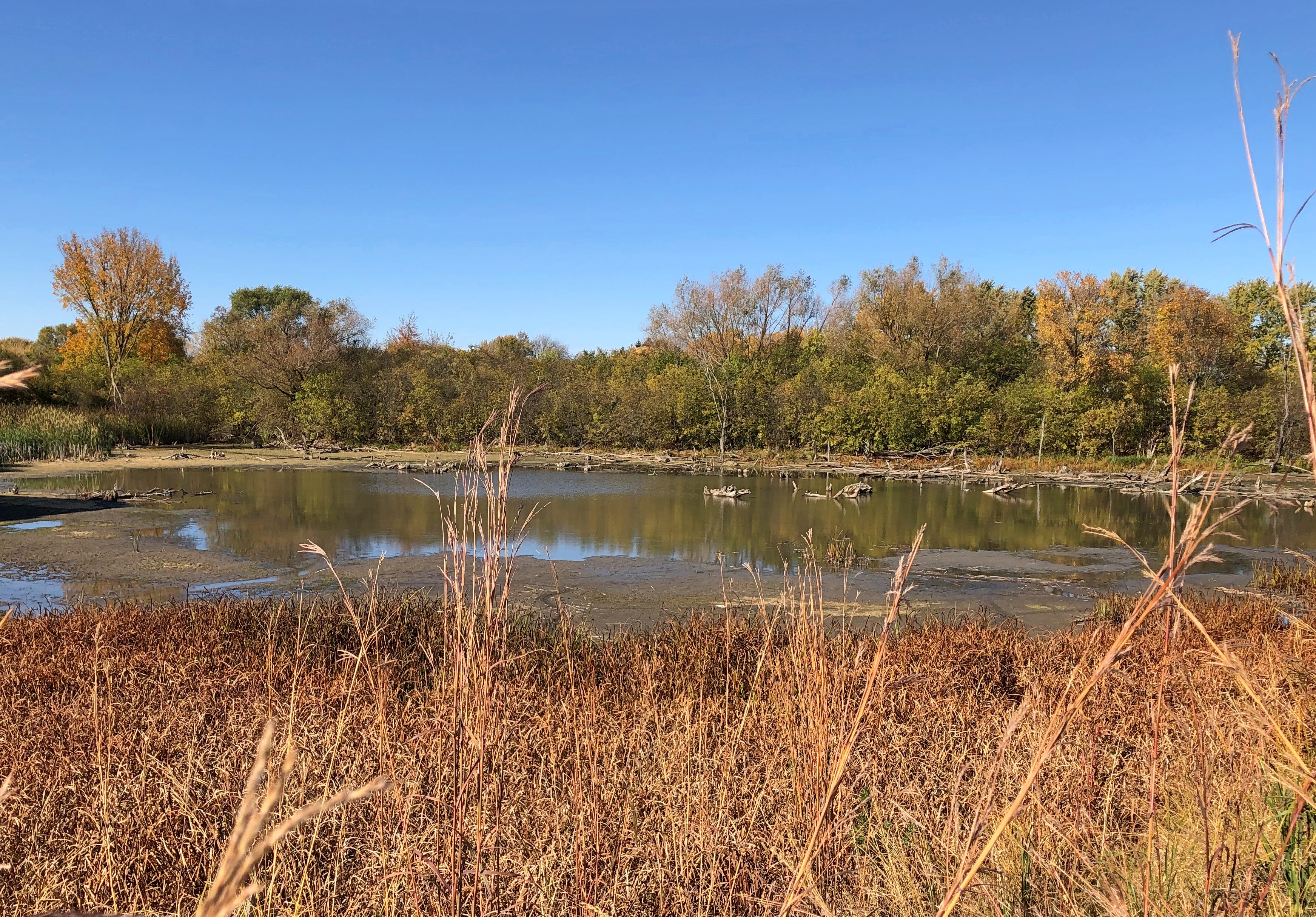
Note on the map that besides warehouses, there are wetlands. Could have been at the insistence of local authorities that they were left alone. I hope so anyway. This unnamed, driftwood pond was close enough to the street to get a good look.Madsen Drive, Bloomingdale Madsen Drive, Bloomingdale Madsen Drive, Bloomingdale

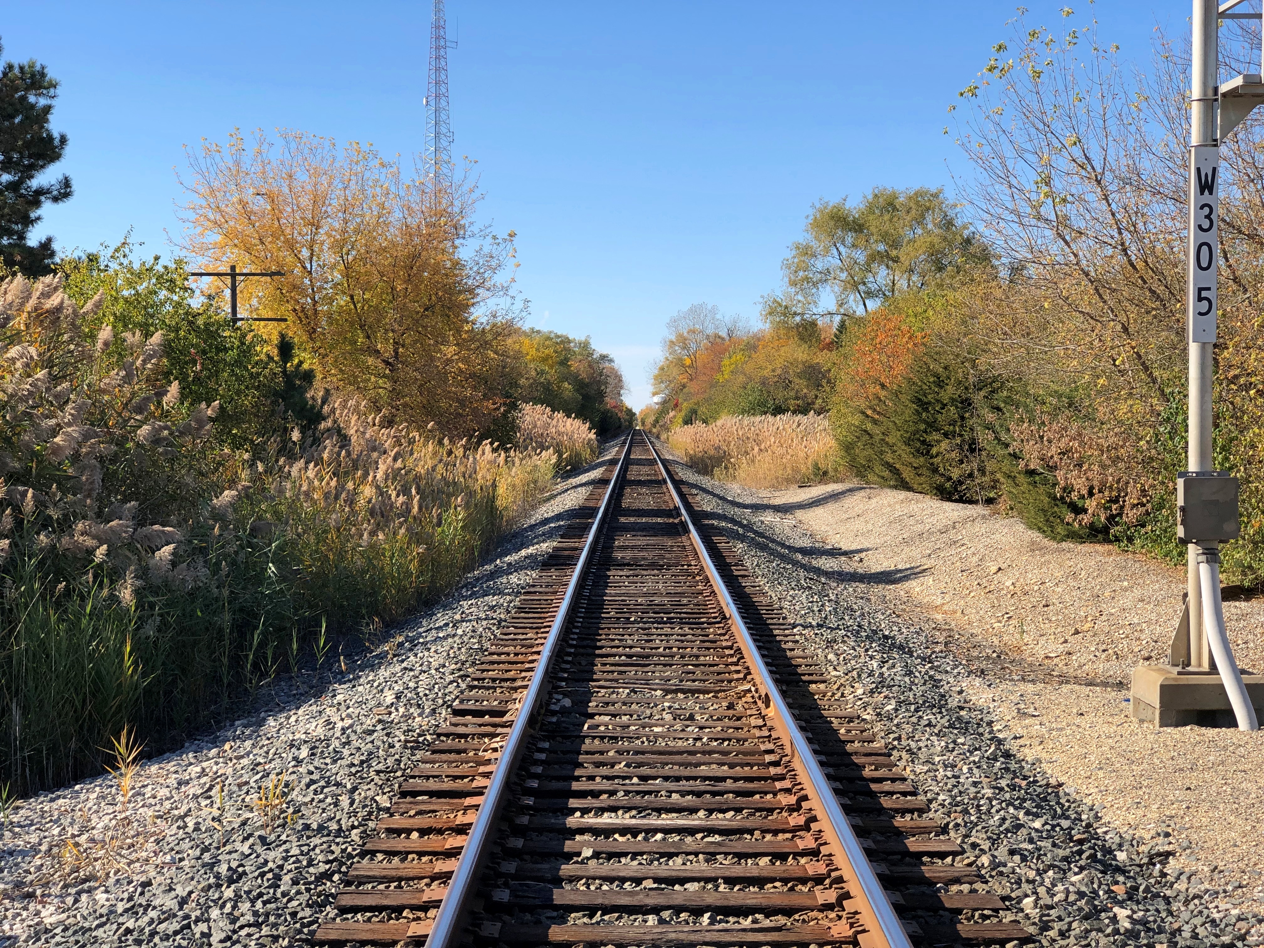
Warehouse districts also mean rail lines.Madsen Drive, Bloomingdale

All the many times I’ve crossed the line at this point by car, I’ve never had to wait for a train. No trains either when I crossed on foot. There must be some traffic, but even so I’m reminded of a Charles Addams cartoon about an abandoned line, from one of the collections we had around the house when I was young. His work sticks with you. Wonder how many people who watched the Addams Family movies knew about the originals.

Bloomington Ramble ’24

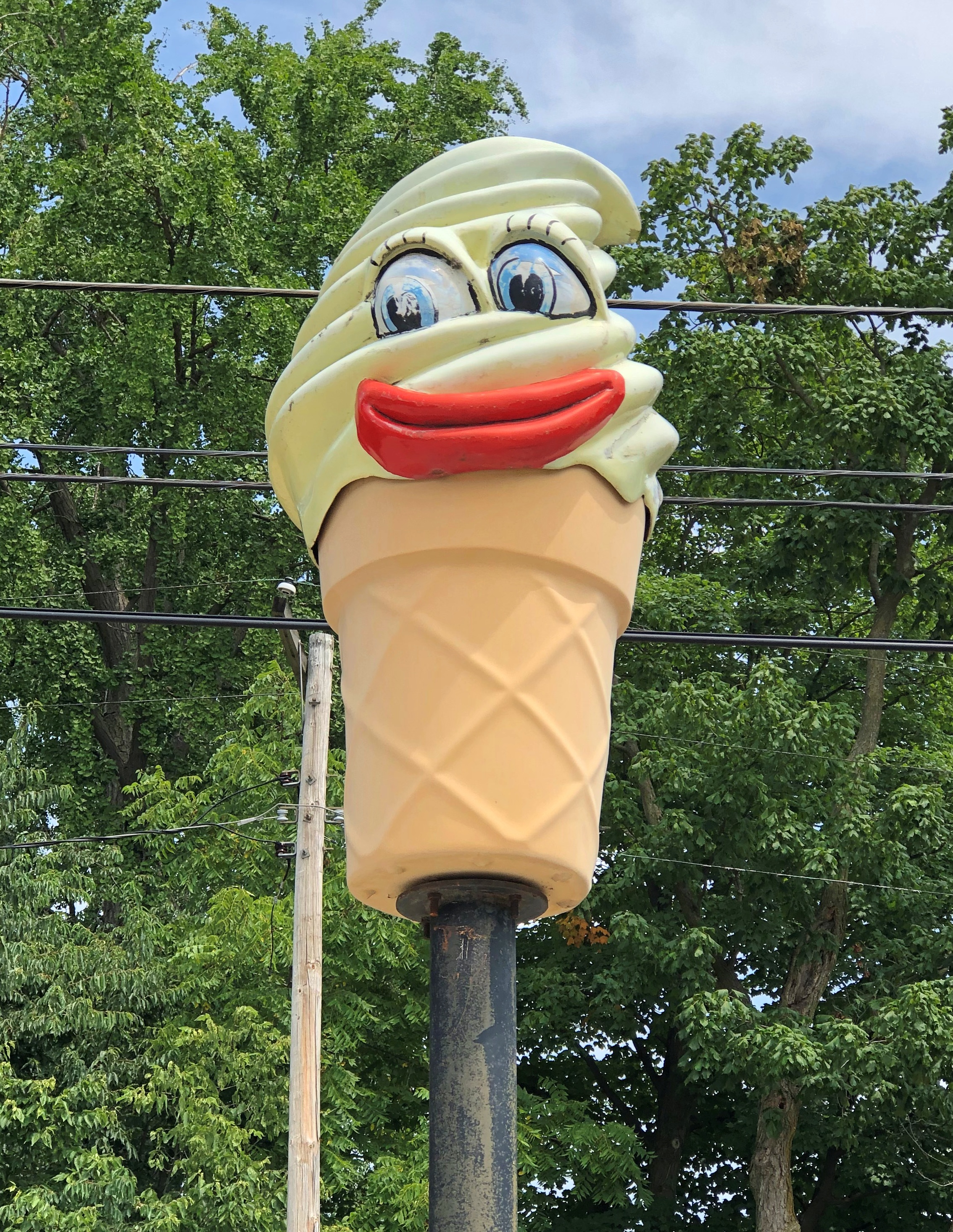
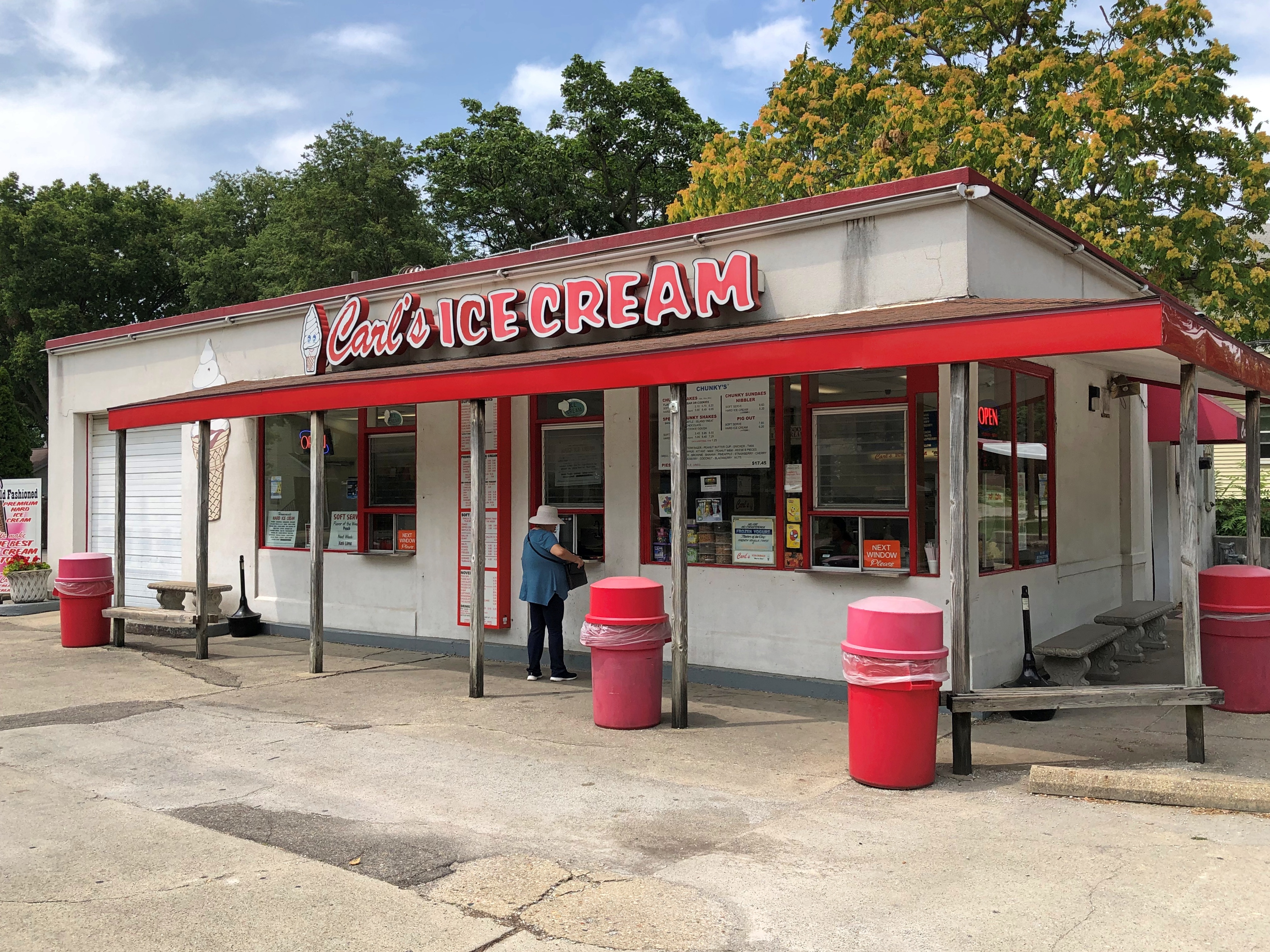
Want good soft serve ice cream in an unpretentious setting? Look no further than Carl’s Ice Cream, a plain-looking shop deep in the heart of Bloomington, Illinois. Also, look for its anthropomorphic soft serve cone rising over the parking lot.Carl's Ice Cream Bloomington Carl's Ice Cream Bloomington
Yuriko and Ann had strawberry, I had chocolate. Carl’s in Bloomington – there’s also one in Normal, with an ice cream muffler man outside – was an early afternoon stop on Saturday. We spent part, but not all of the weekend, in Bloomington.

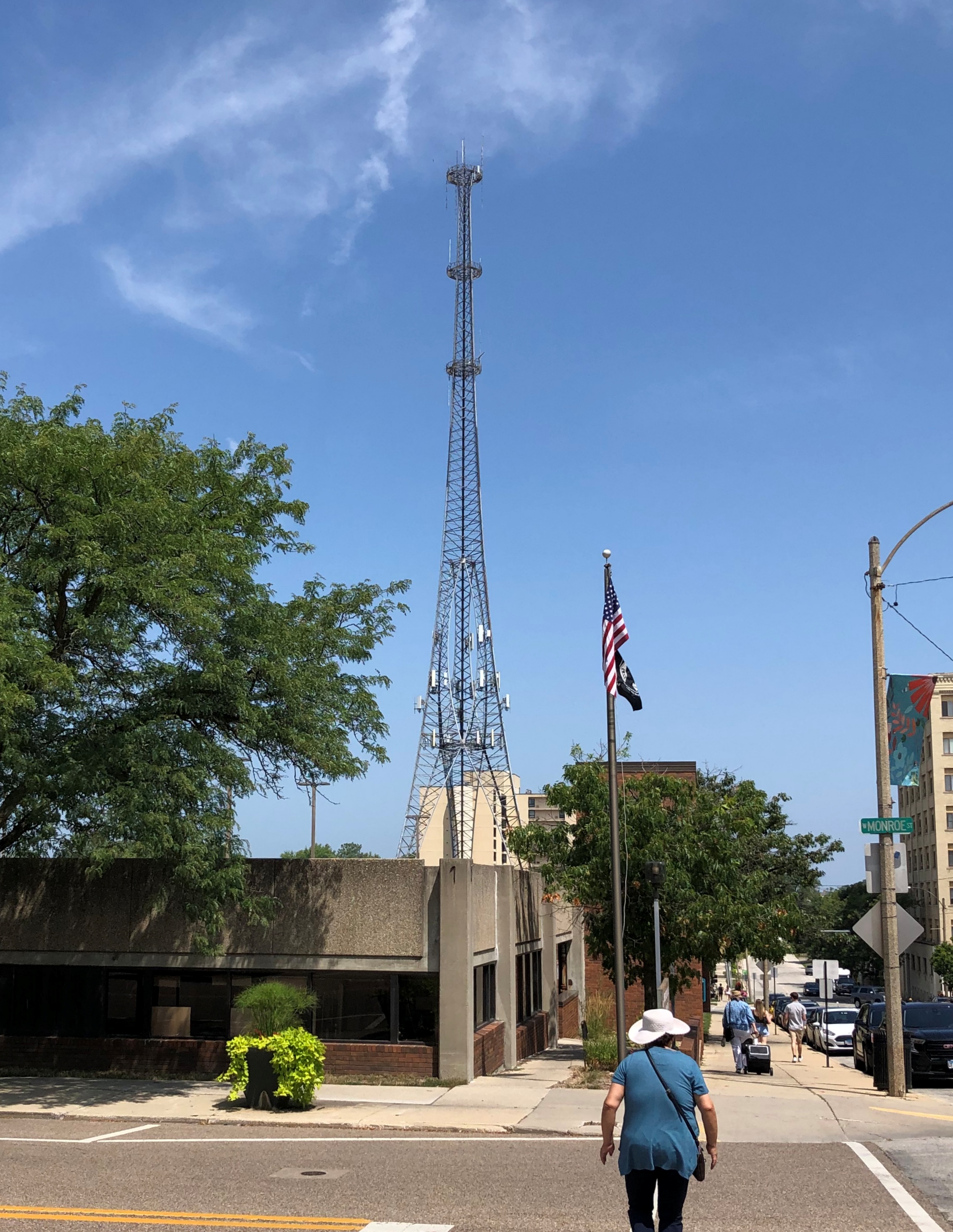
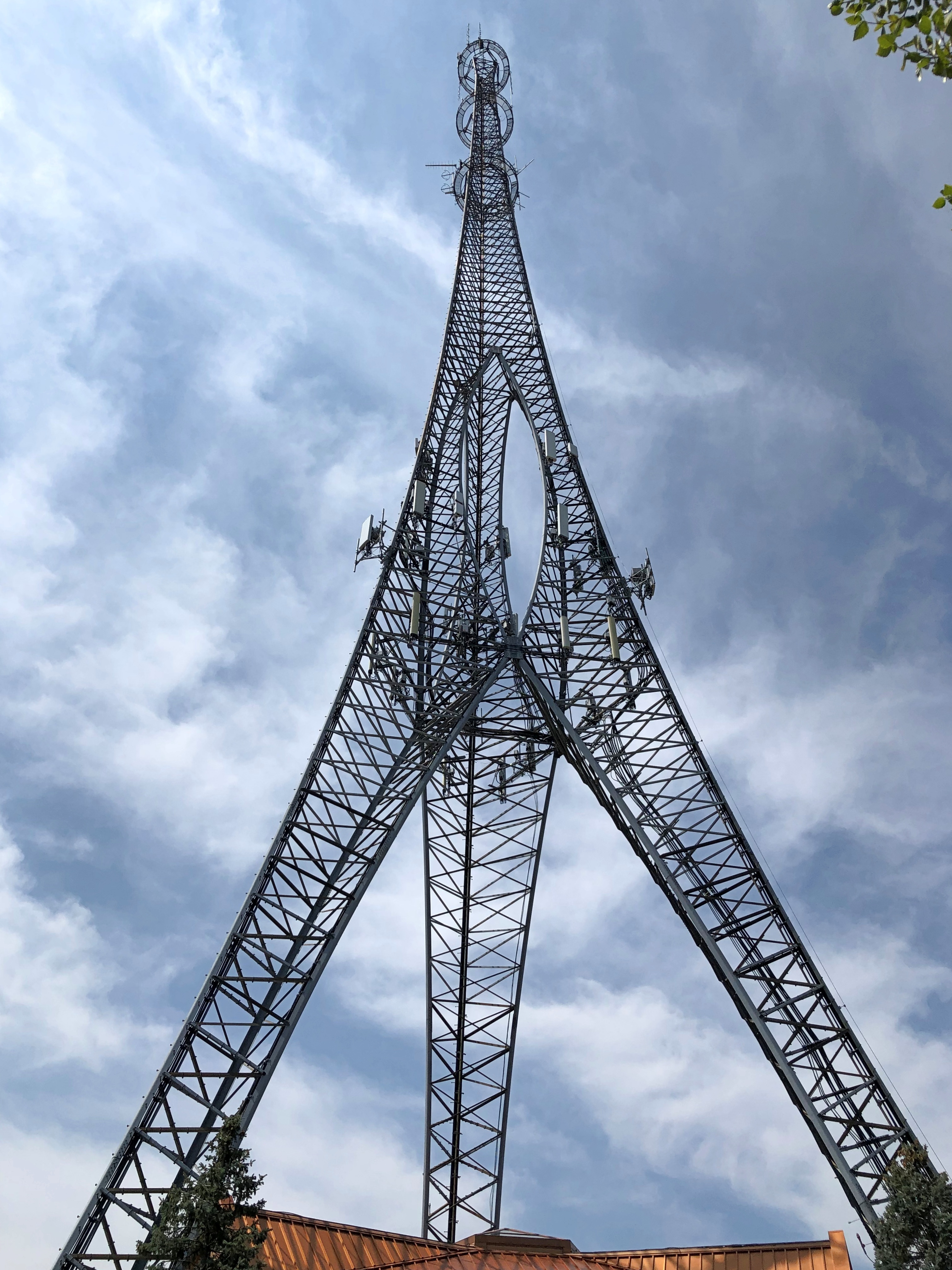
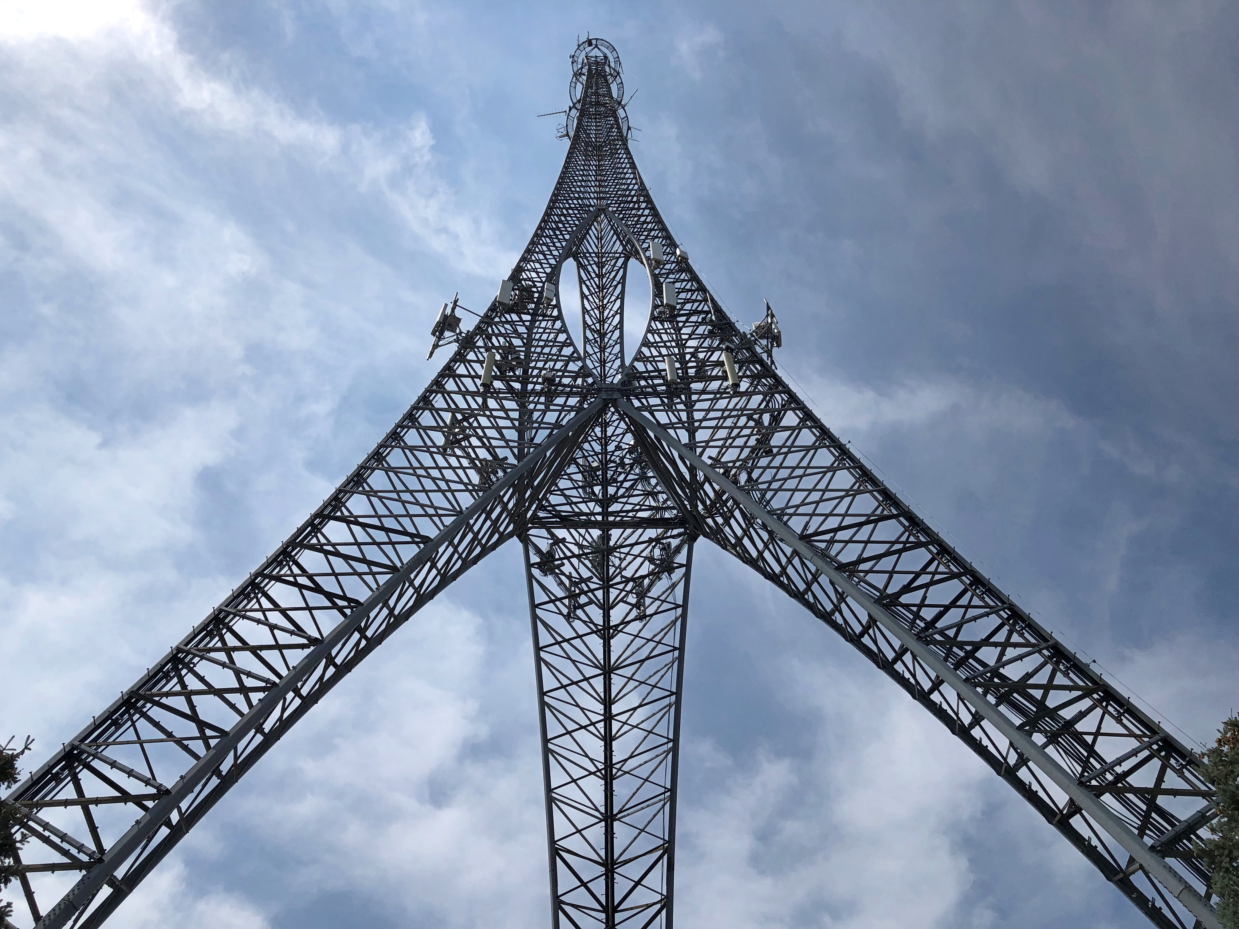
Something we (I) also had time to do was take a better look at the impressive three-legged communications tower in downtown Bloomington. It’s visible for quite a distance, and makes me wonder, why aren’t more communication towers this interesting?Bloomington Eiffel Tower. Well. Sort Of

Much of the day was hot, or at least very warm, and sunny, a prelude to heavy rains early Sunday morning. So Yuriko was content to stay in the car – with the AC running – when I took in a few closer views of tower.Tower Center Bloomington Tower Center Bloomington Tower Center Bloomington

Pantagraph articles about the tower are paywalled, but snippets poke through from search engine results:

In the last 30 years of telephone, radio and other network service, the Tower Center became a sort of landmark for downtown Bloomington, lovingly nicknamed the city’s “Eiffel Tower.”

Bloomington’s ‘Eiffel Tower’ changes hands after 30 years

The McLean County Center for Human Services Recovery Program is gaining a new home beneath the iconic 420-foot communications tower in Bloomington…

Another source tells me that the tower dates from 1989. The Tower Center is the two-story building under the tower, now belonging to McLean County.

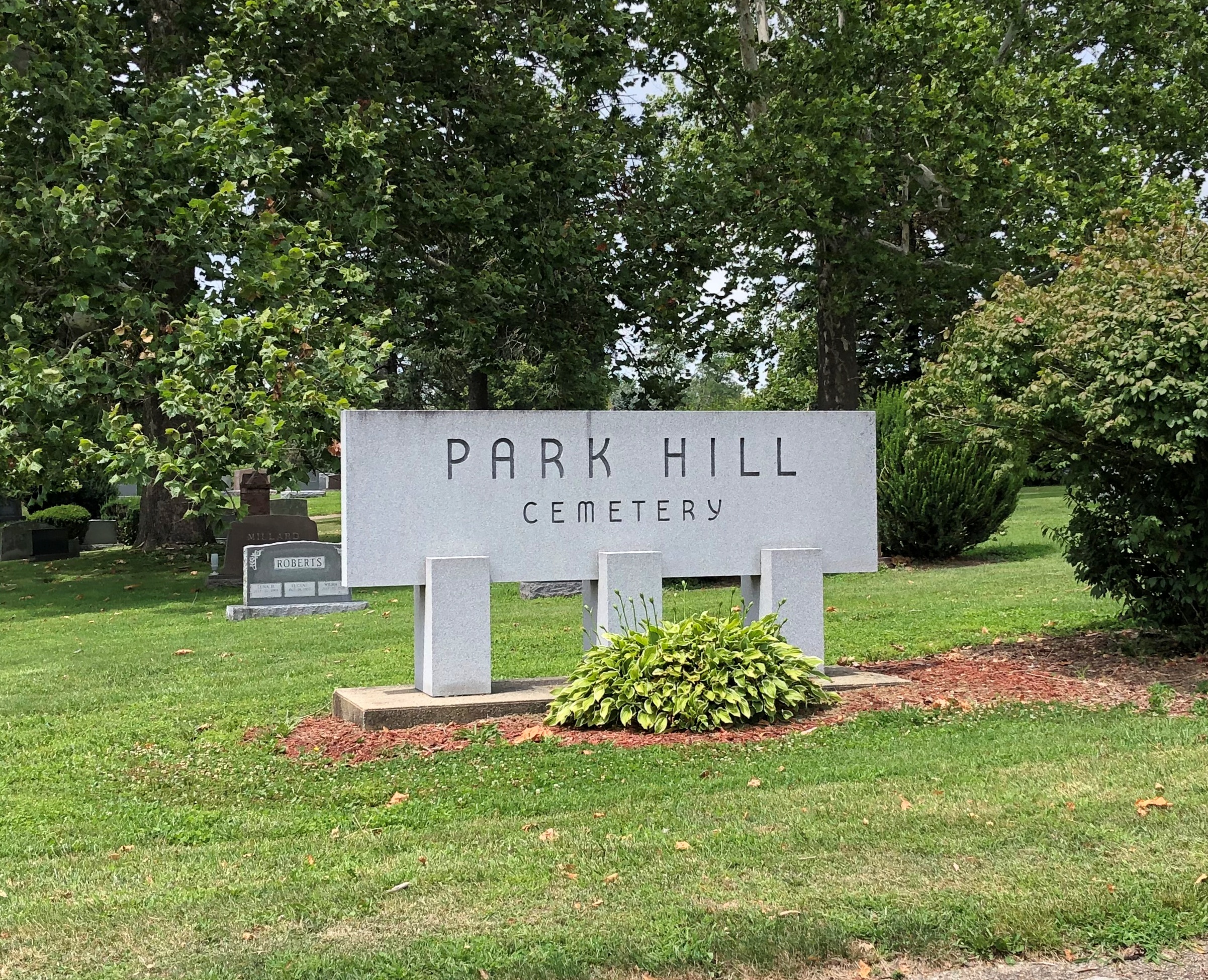
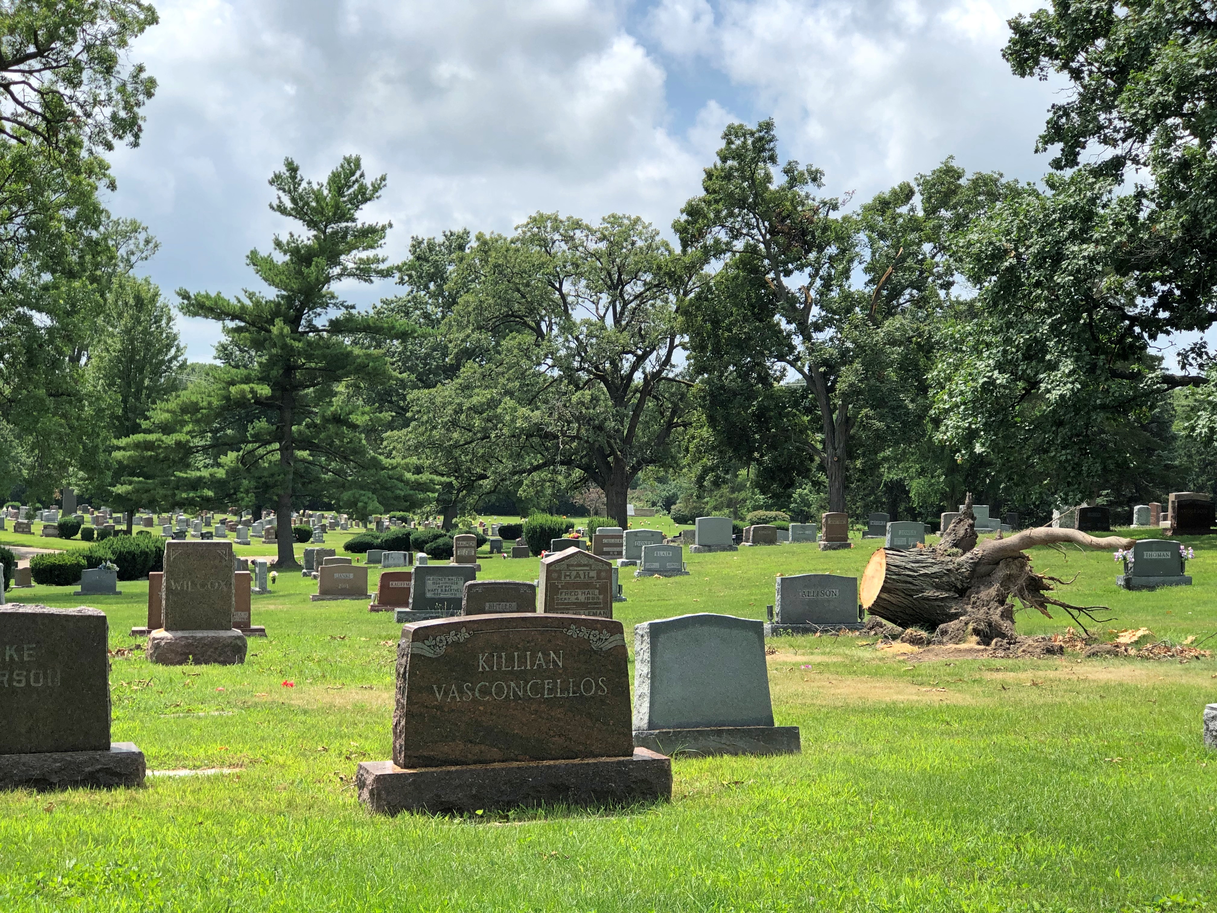
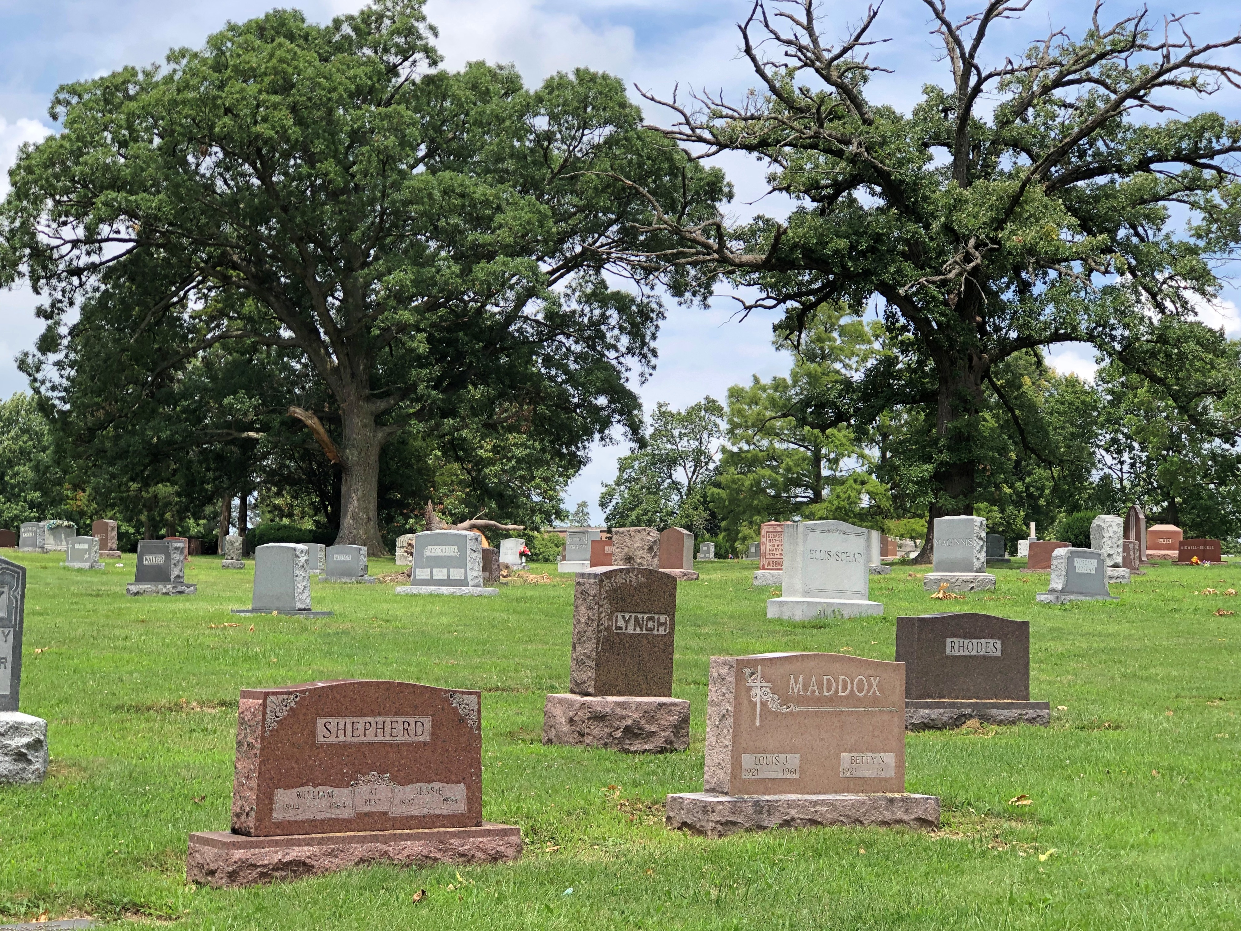
After the rain cleared away, late Sunday morning was as toasty as Saturday had been, but more humid. I decided against a walkabout at the Park Hill Cemetery in Bloomington. It’s good to ration your time under those hot and copper skies.Park Hill Cemetery, Bloomington

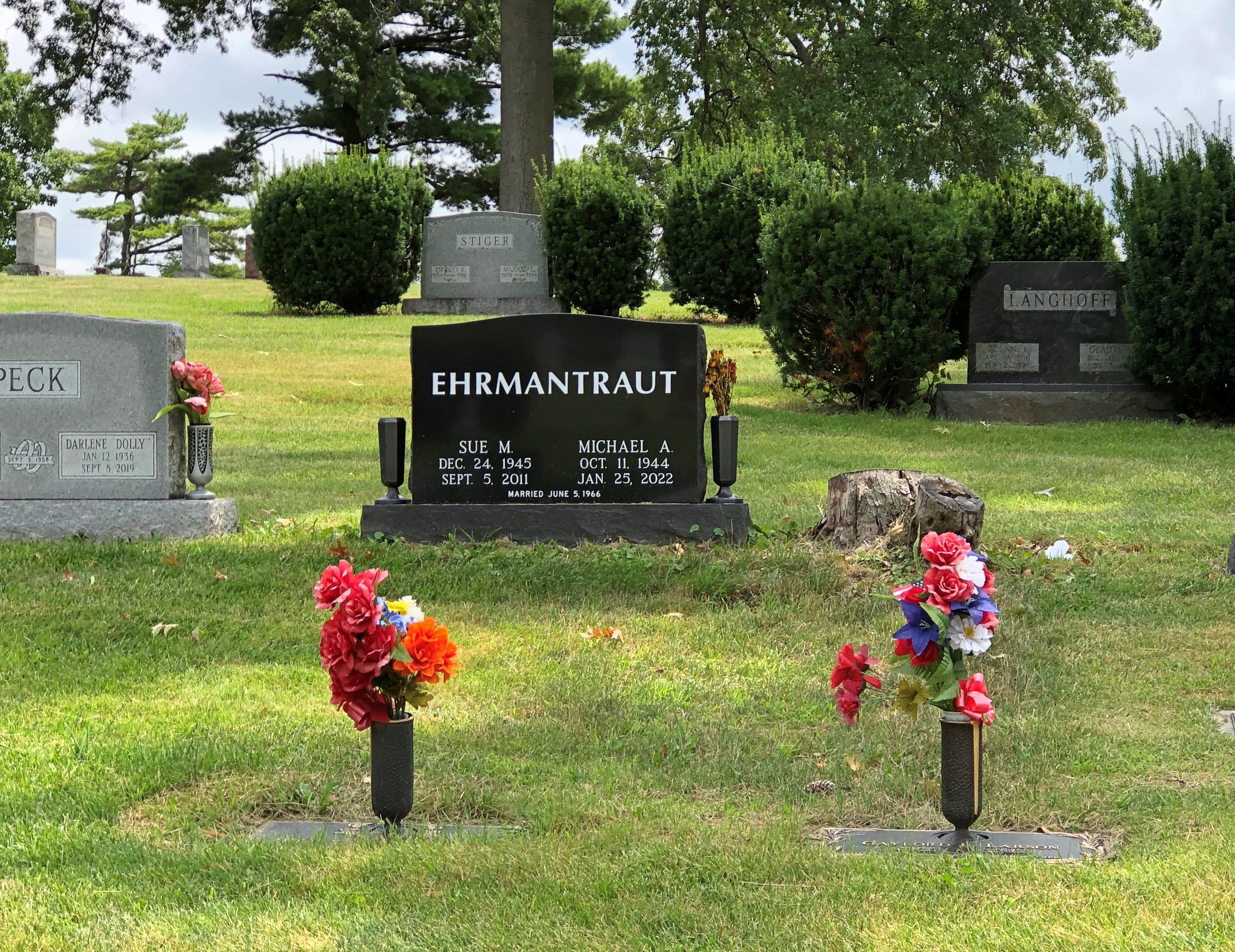
Still, we drove around a bit through the cemetery. Not a lot of memorial variety, but not bad.Park Hill Cemetery, Bloomington Park Hill Cemetery, Bloomington Park Hill Cemetery, Bloomington

Now I can say I’ve seen Mike Ehrmantraut’s grave. But not that Mike Ehrmantraut, of course. The fellow offed by Walter White, being fictional, must have an equally fictional grave.

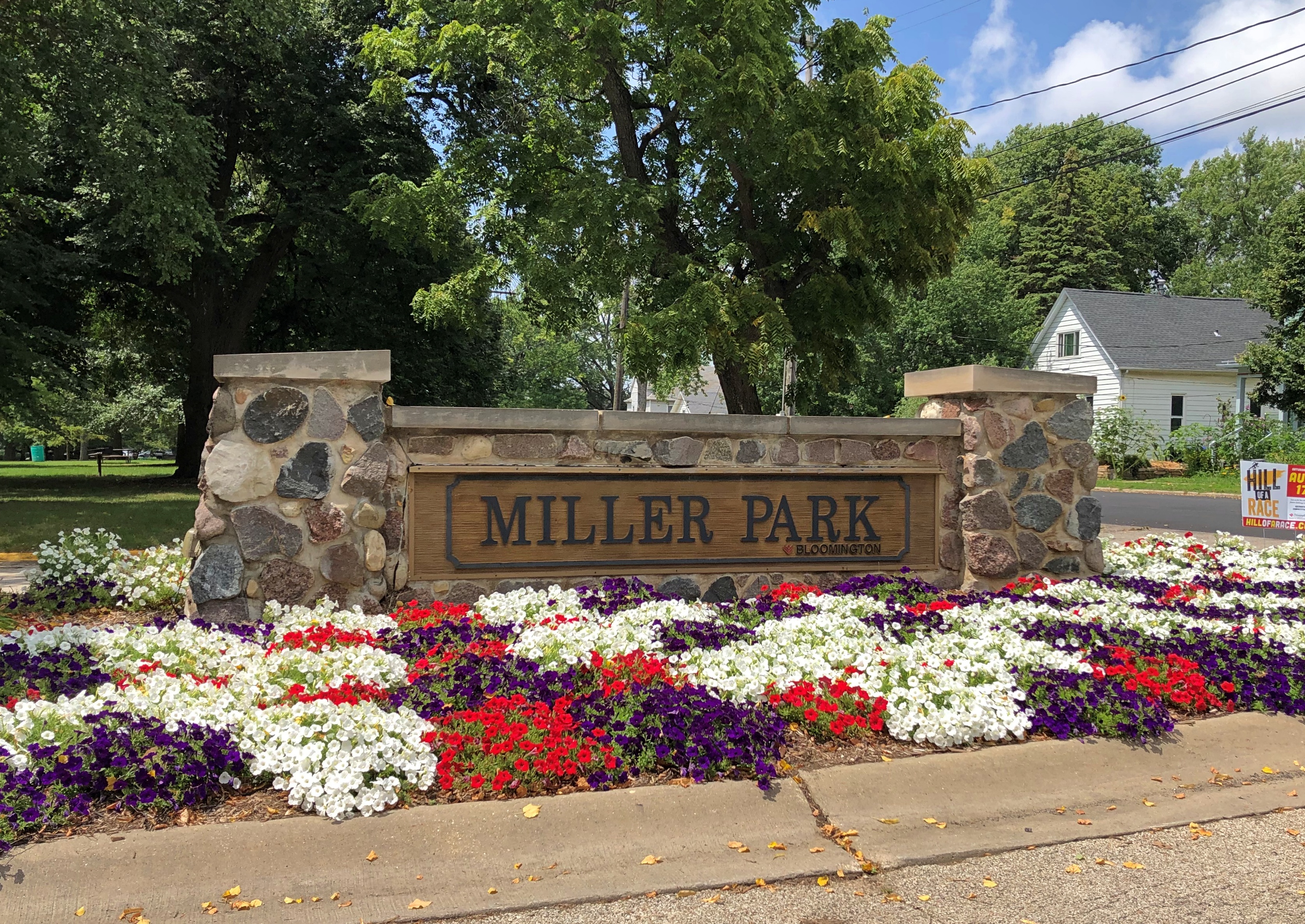
Adjacent the cemetery is the sizable Miller Park, which includes the Miller Park Zoo. We didn’t want to use our ration of intense sunlight at a zoo either, but in the park itself.Miller Park, Bloomington

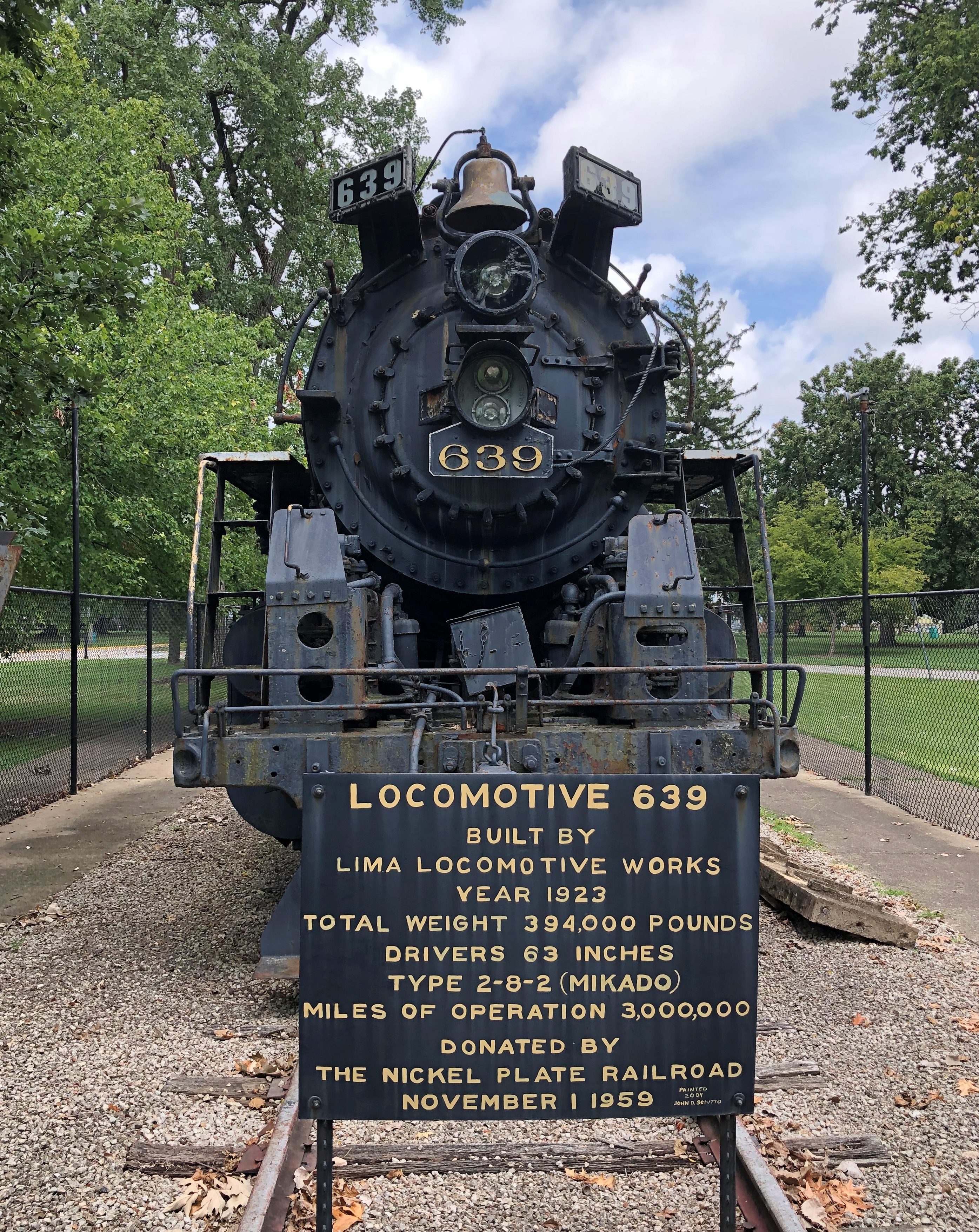
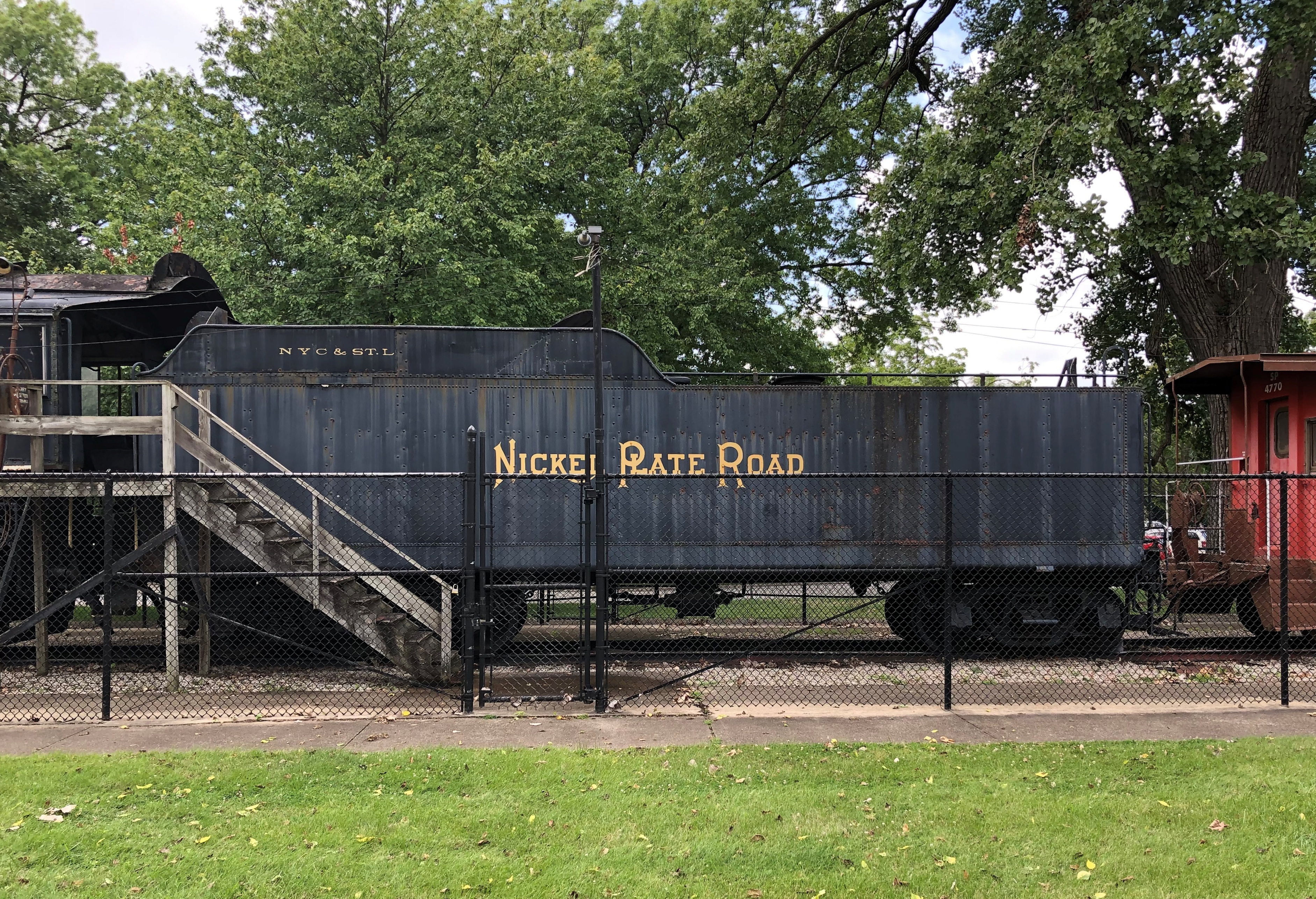
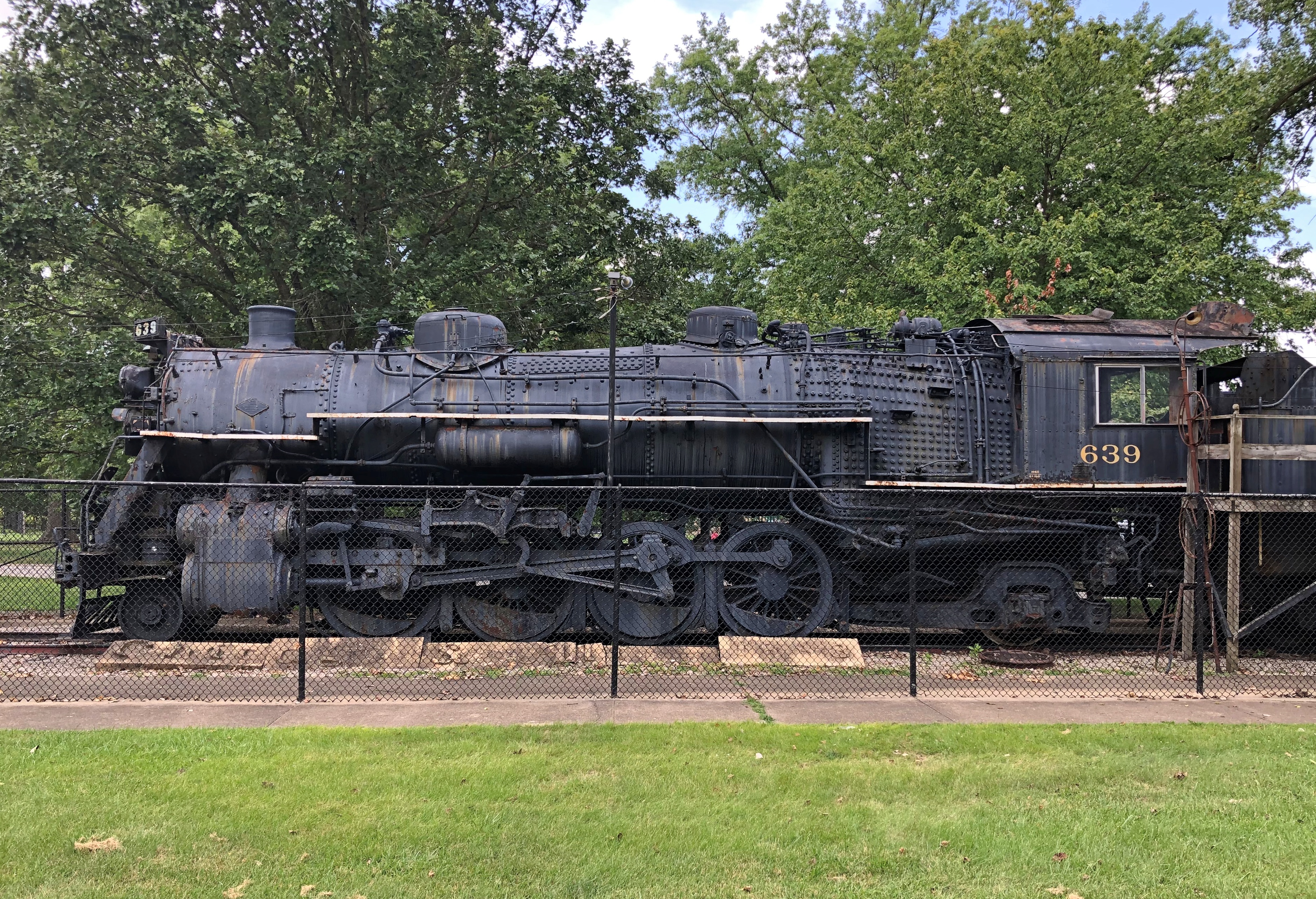
When you see a steam locomotive in park (and its tender), you really ought to get out and look.Miller Park, Bloomington locomotive Miller Park, Bloomington locomotive Miller Park, Bloomington locomotive

Three million miles. So the train could have, with the right track, gone to the Moon and back a number of times, provided it took its own oxygen to keep that engine going.

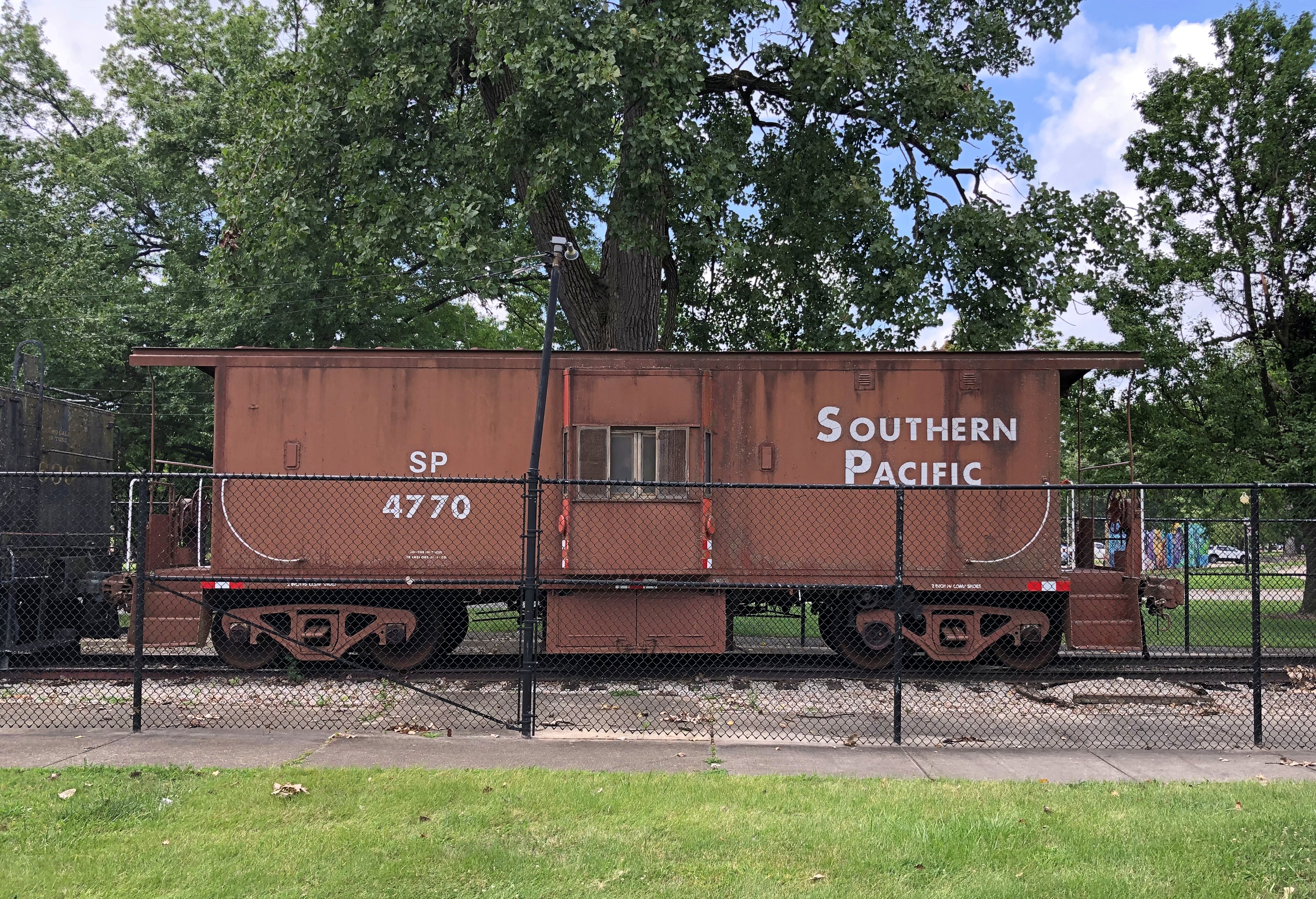
And what would the display be without a caboose? Partly because that’s just a fun word to say.Miller Park, Bloomington caboose

Ignorant fellow that I am, I didn’t know the Nickel Plate Road, so I looked it up later. Once upon a time, it was a major regional RR, spanning northern Ohio, Indiana and Illinois.

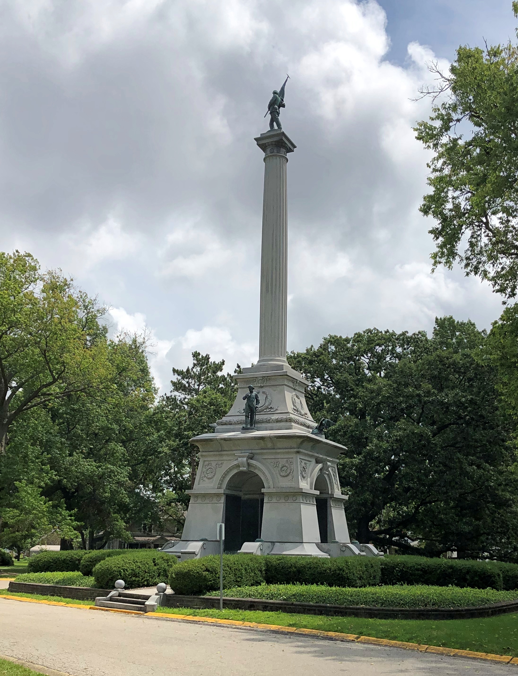
Miller Park features a sizable war memorial.Miller Park, Bloomington war memorial

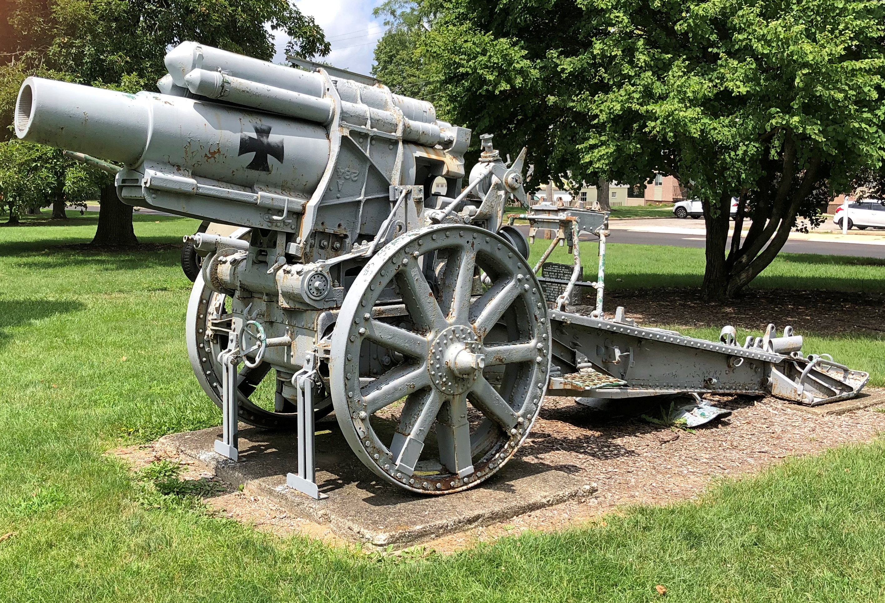
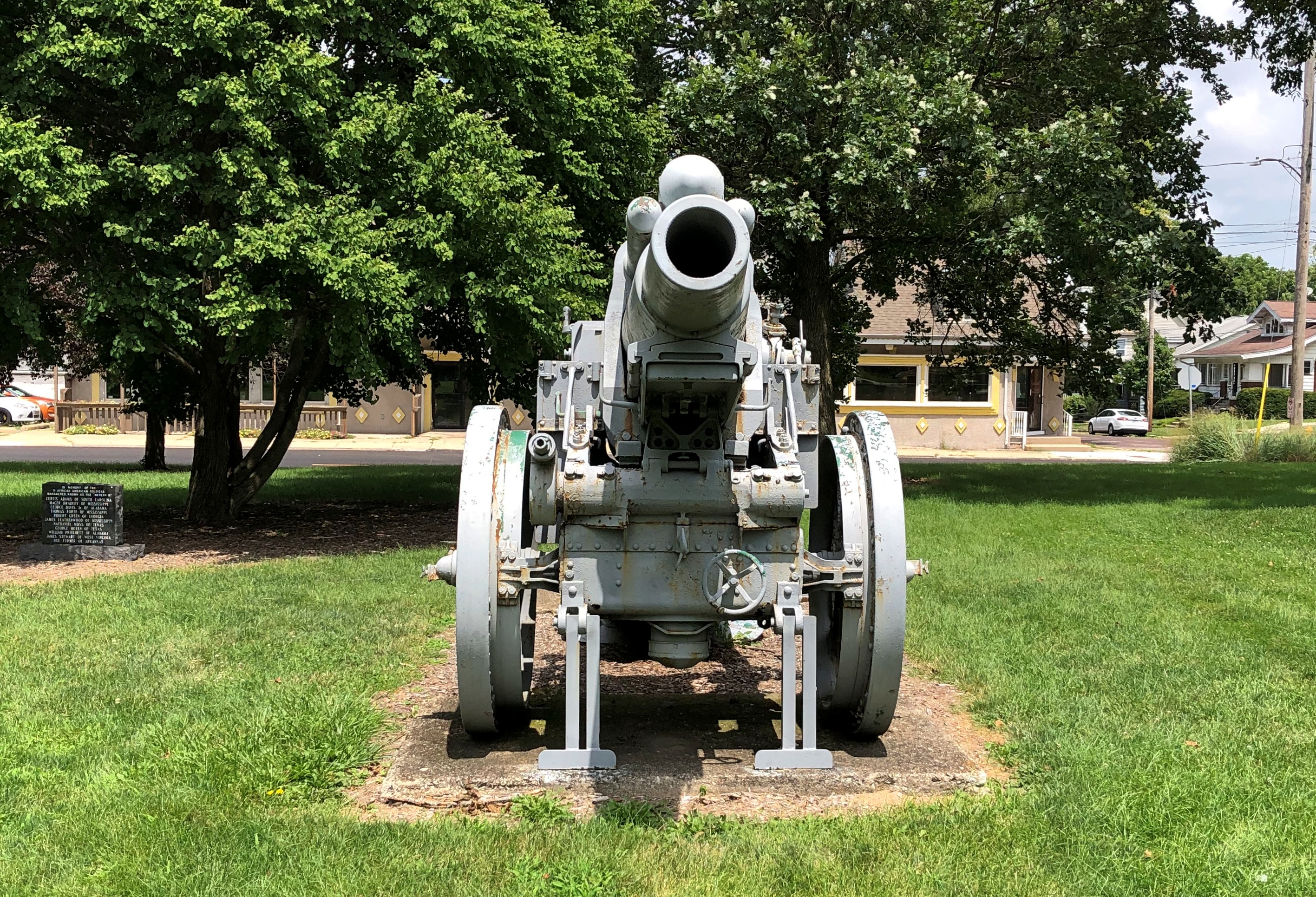
In its vicinity are some retired weapons of war, such as a captured German 210 mm Krupp Howitzer (in better shape than this one).Miller Park, Bloomington German Cannon Miller Park, Bloomington German Cannon

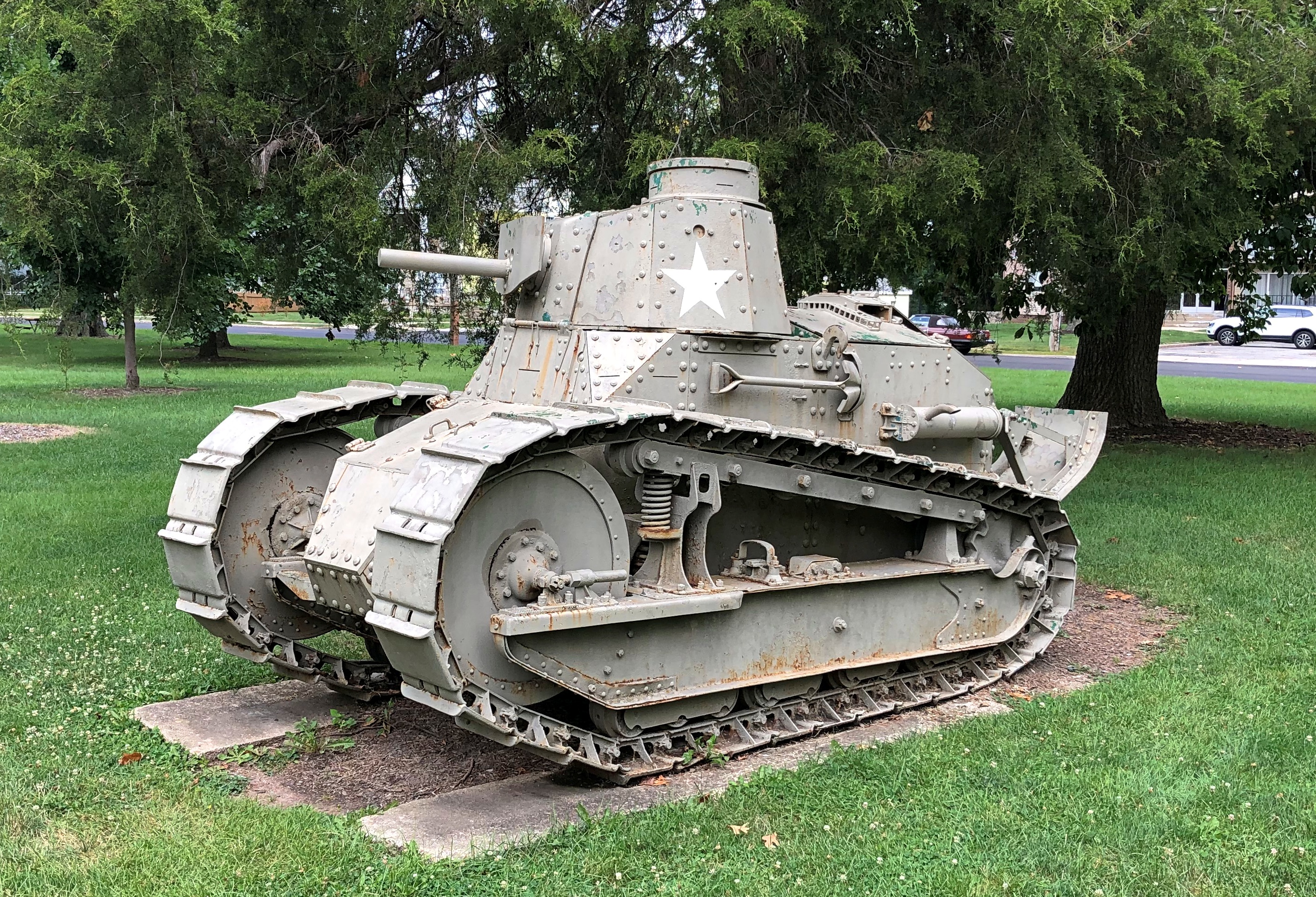
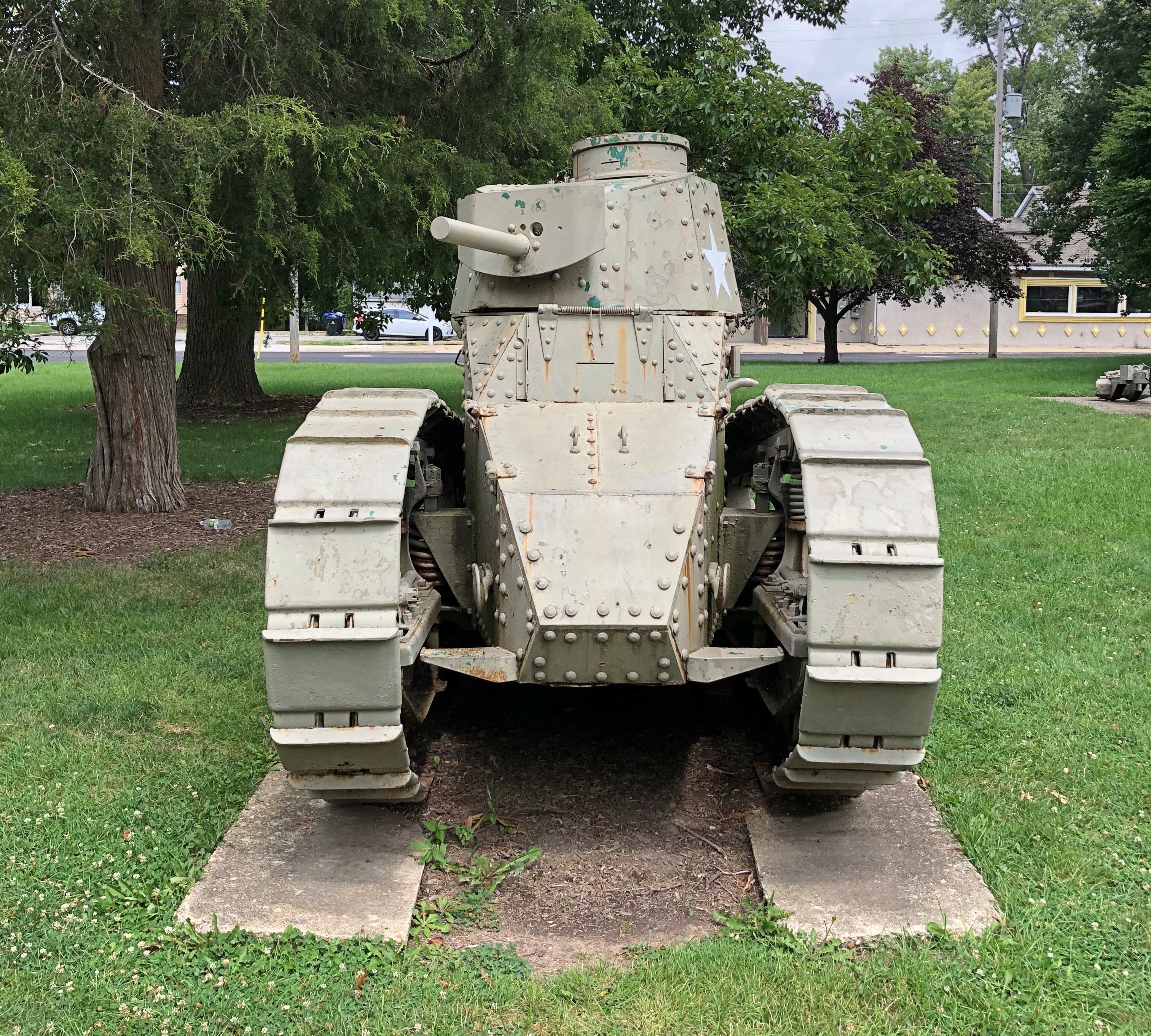
As well as a WWI tank. Created for that conflict, at least. An M1917 light tank. Apparently none made it to the front during the war, but were put in service for a few years after the war by the U.S. Army.Miller Park, Bloomington WWI Tank Miller Park, Bloomington WWI Tank

I’m not sure I’ve ever seen one of those on display. I’m reminded of my great-uncle Ralph. I understand — from my mother, and maybe even grandma told me this — that he was in a tank corps in France, with the American Expeditionary Forces. Such a posting is said to be fairly dangerous, and I believe it. Supposedly, Ralph was poised to go to the front at the time of the Armistice, which might well have saved him.

Moonsky Star ’94

On September 11, 1994, we boarded a train in Beijing that would take us to Ulaanbaatar, which is about 1,200 miles. That was the first leg of taking the Trans-Siberian, though the company which arranged our trips called the route the Trans-Mongolian, as it didn’t originate in Vladivostok. A quibble.

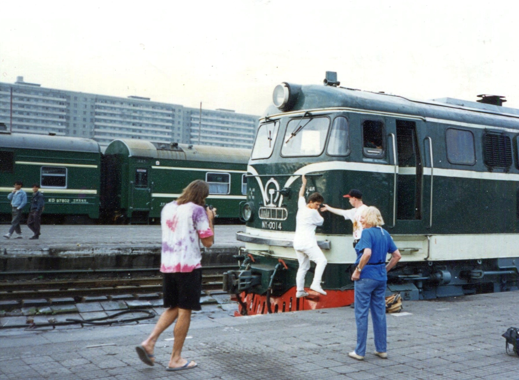
One thing do to before the train left was visit the engine.

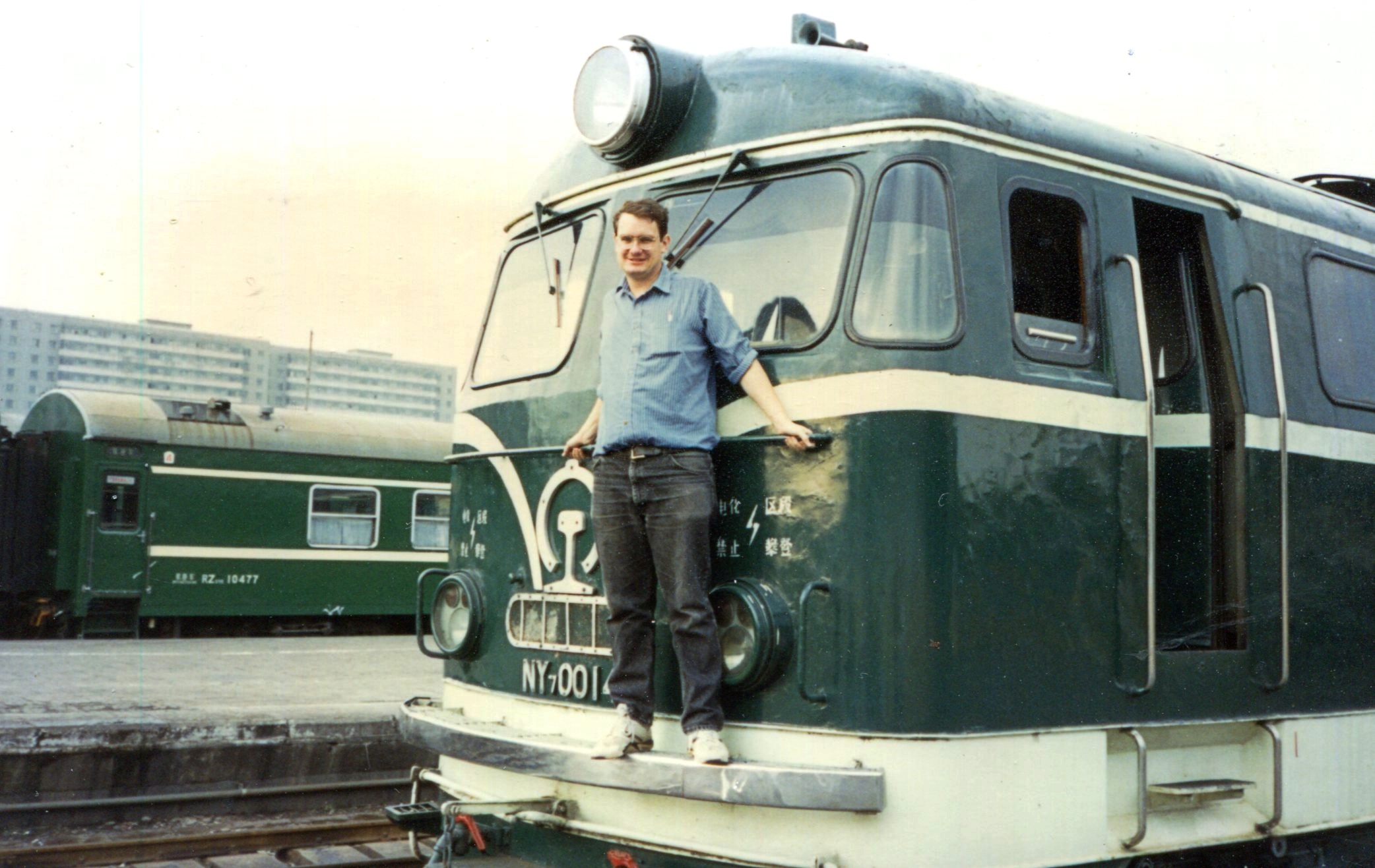
And stand on the front, to pose for pictures. I think the woman stepping off the front was Iris, a Swiss we met on the train and corresponded with for a few years afterward. Of course, I had to pose as well. Yuriko didn’t want to do anything that silly.

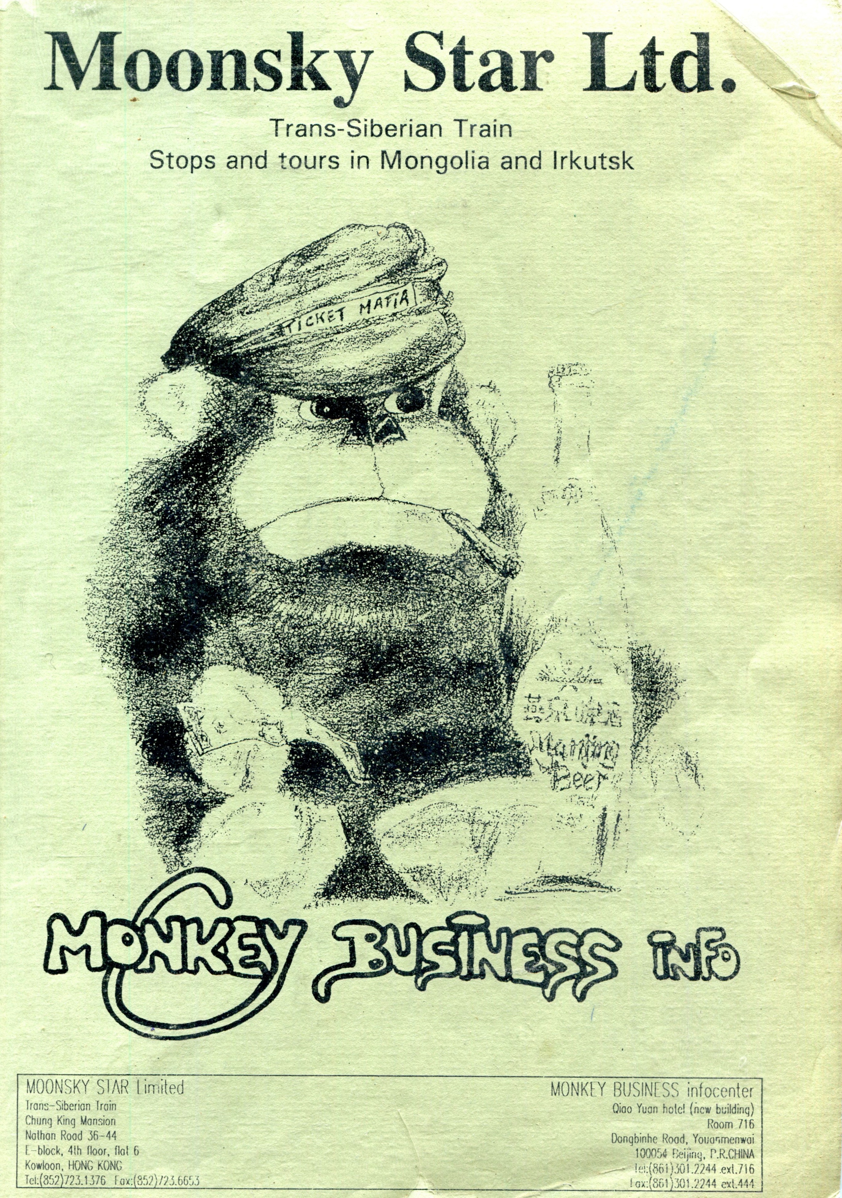
The booking company was called Moonsky Star, located in Hong Kong, as noted on the self-printed booklet we received when we booked passage from Beijing to Moscow, about 4,880 miles all together. After Ulaanbaatar came Irkutsk and then Moscow.

The booklet was most informative about the trains, the accommodations, the cities and other places along the route, visas, and more.

The chimp was the company’s cartoon mascot. Formed in the late ’80s, as passage across Eurasia had become somewhat easier, Moonsky had offices in the warren-like Chunking Mansions in Kowloon, which I understand is still there, and about the same as it ever was. Looks like the potential for a terrible deadly fire.

Some years ago, I checked, and Moonsky Star was still doing business; but today I checked again, and it seems to have closed up shop. Could be too many other ways to get tickets these days; or the pandemic as last-nail-in-the-coffin; or the fact that Russia’s at war at the moment, and demand to ride the Trans-Siberian might be in a slump; or who knows what else. Maybe the proprietor retired or died.

Too bad in any case. I don’t have a bad thing to say about the company, which delivered the goods for us, allowing us to spend about two weeks getting from a remarkable point A to a remarkable point B with much in between.

Turtle Creek Parkway, Tanks and White Line Frankenstein

Tooling along one of southern Wisconsin’s two-lane highways a week ago Friday, the radio station I happened to be tuned into – I’m not giving up terrestrial radio on road trips – introduced a new song by Alice Cooper, with a few words from the artist himself. That got my attention. Alice Cooper, shock rocker of my adolescence, is still making records?

He is, at the fine old age of 75. I never was a big fan of his, except of course for “School’s Out,” but I was glad to hear that all the same. Keep on keeping on, old guy.

For my part, I kept on driving, passing the greens and golds of high corn and the utilitarian buildings that support farming, intersections with gravel roads, hand-painted signs and, now and then, another vehicle. It was an obscenely pleasant July day, clear and warm and not nearly as hot as much of the rest of the country.

The new song came on. Title, “White Line Frankenstein.” Remarkable how consistent Alice Cooper has been through the years. What does he sound like, now that he’s a senior shock rocker? Sounds a lot like young Alice Cooper. A good showman finds something that works and sticks with it, and there’s no arguing his showman abilities.

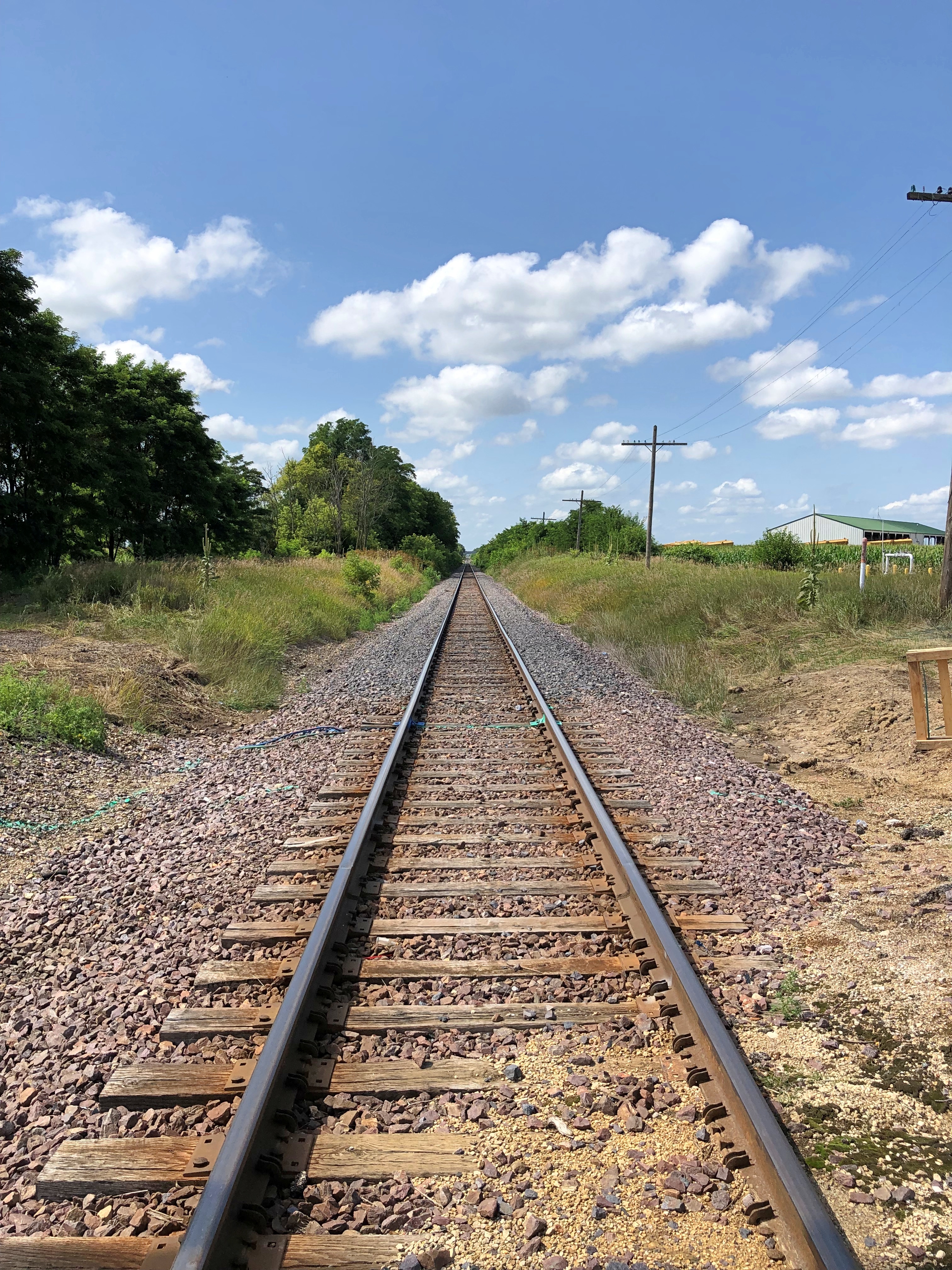
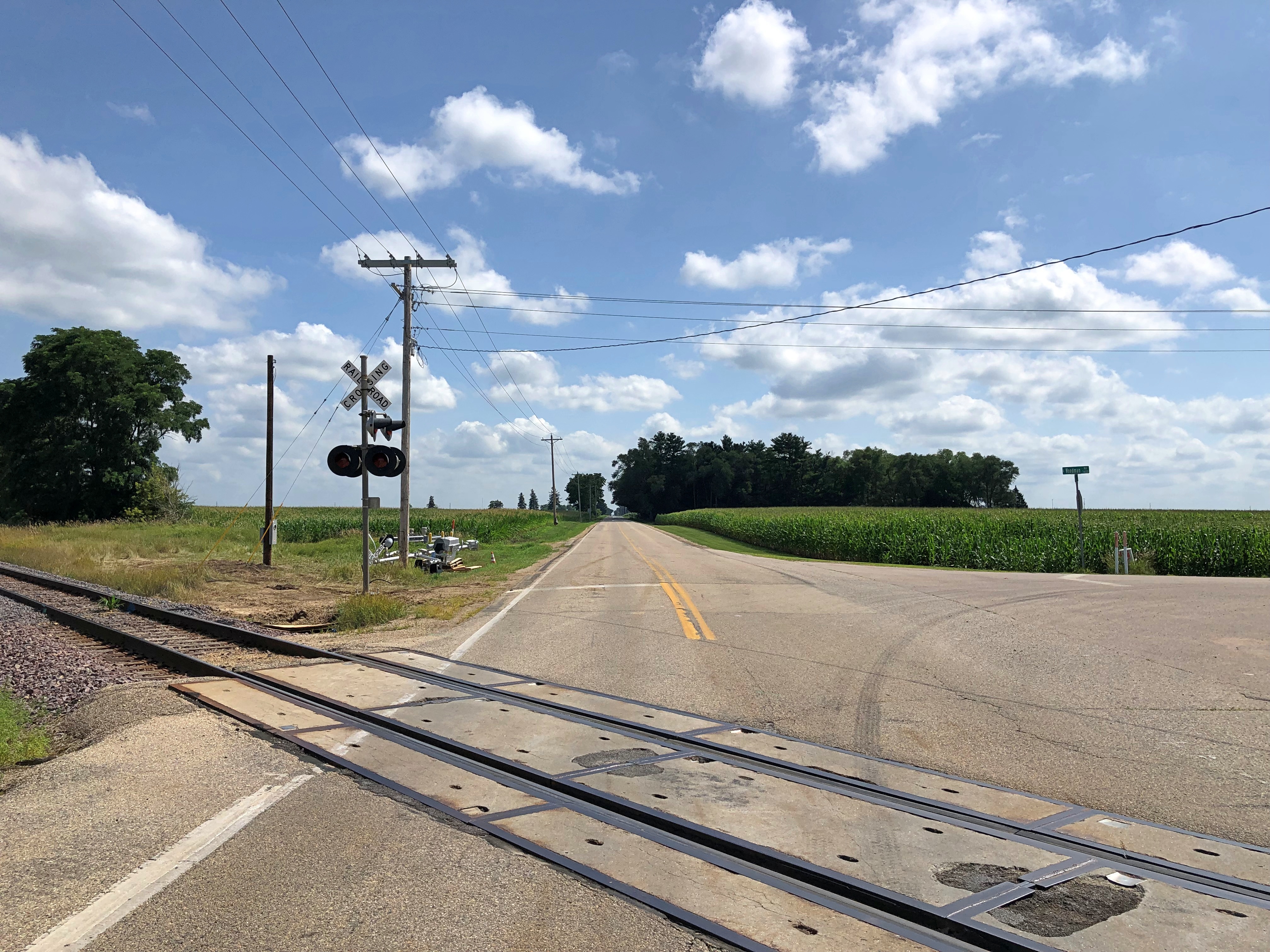
About half way through the song I was inspired to pull off to the side of the road near where a rail line crossed the road, and take pictures.rural Wisconsin rural Wisconsin rural Wisconsin

Missed the last half of the song, but oh well.

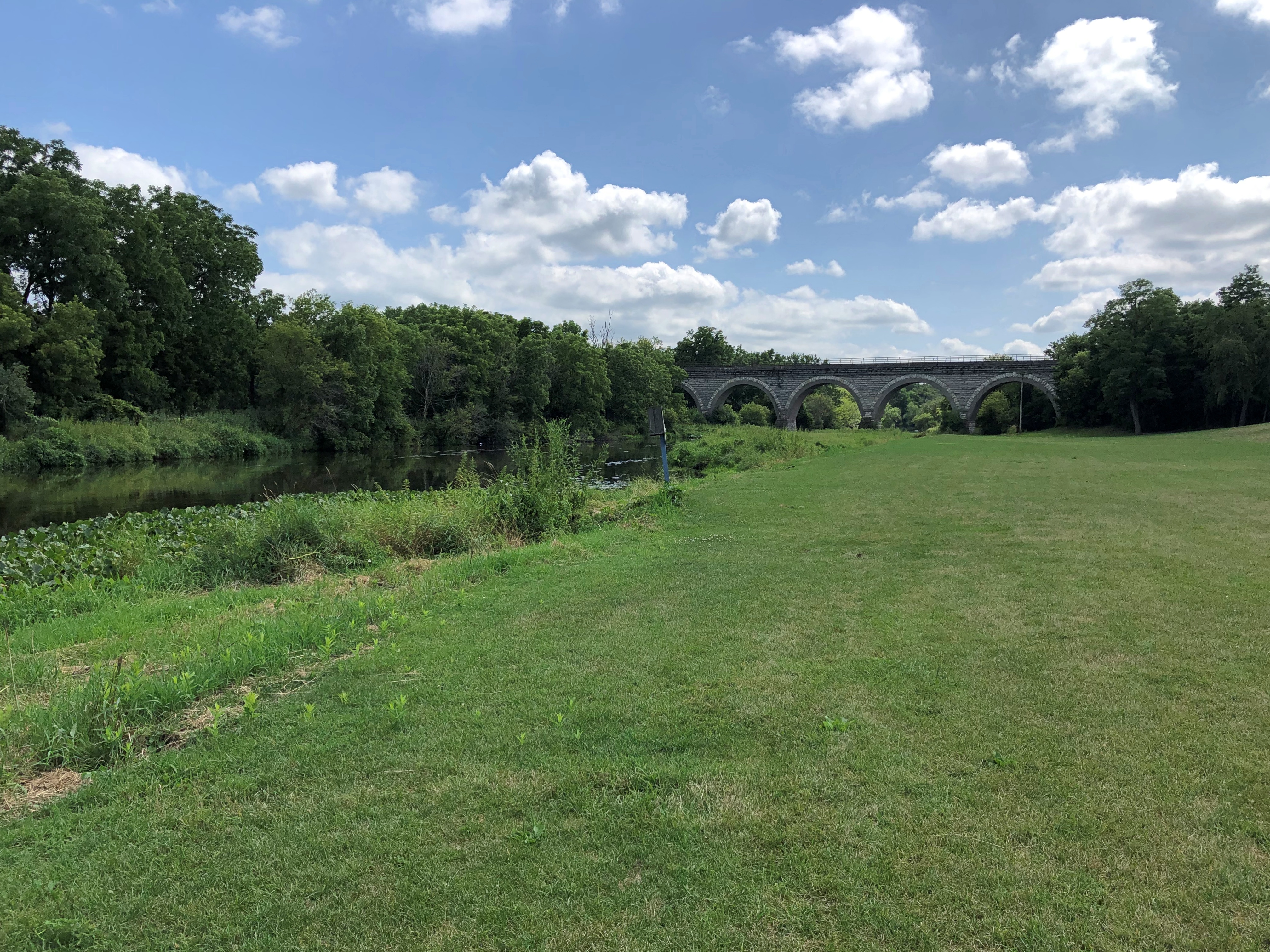
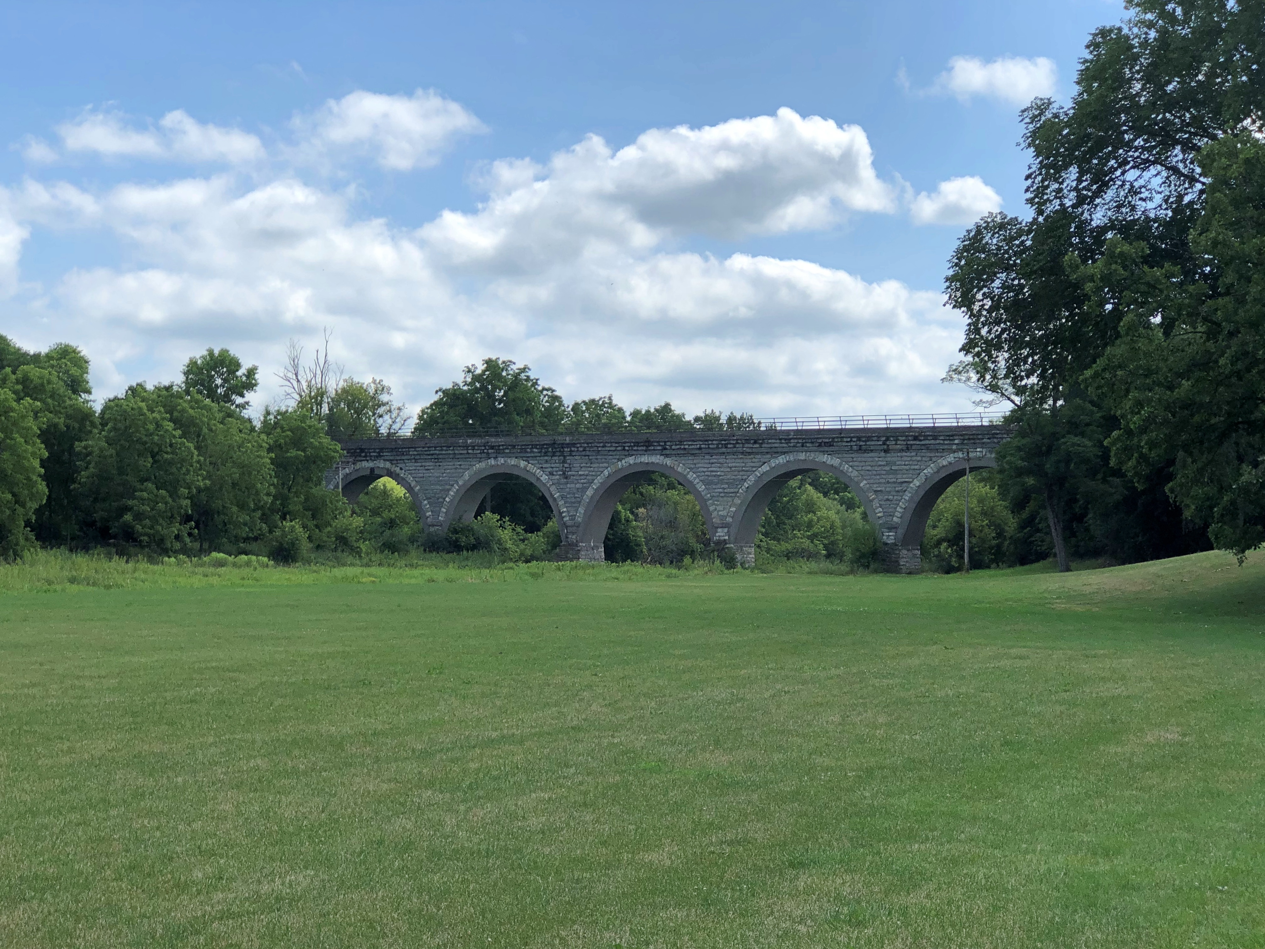
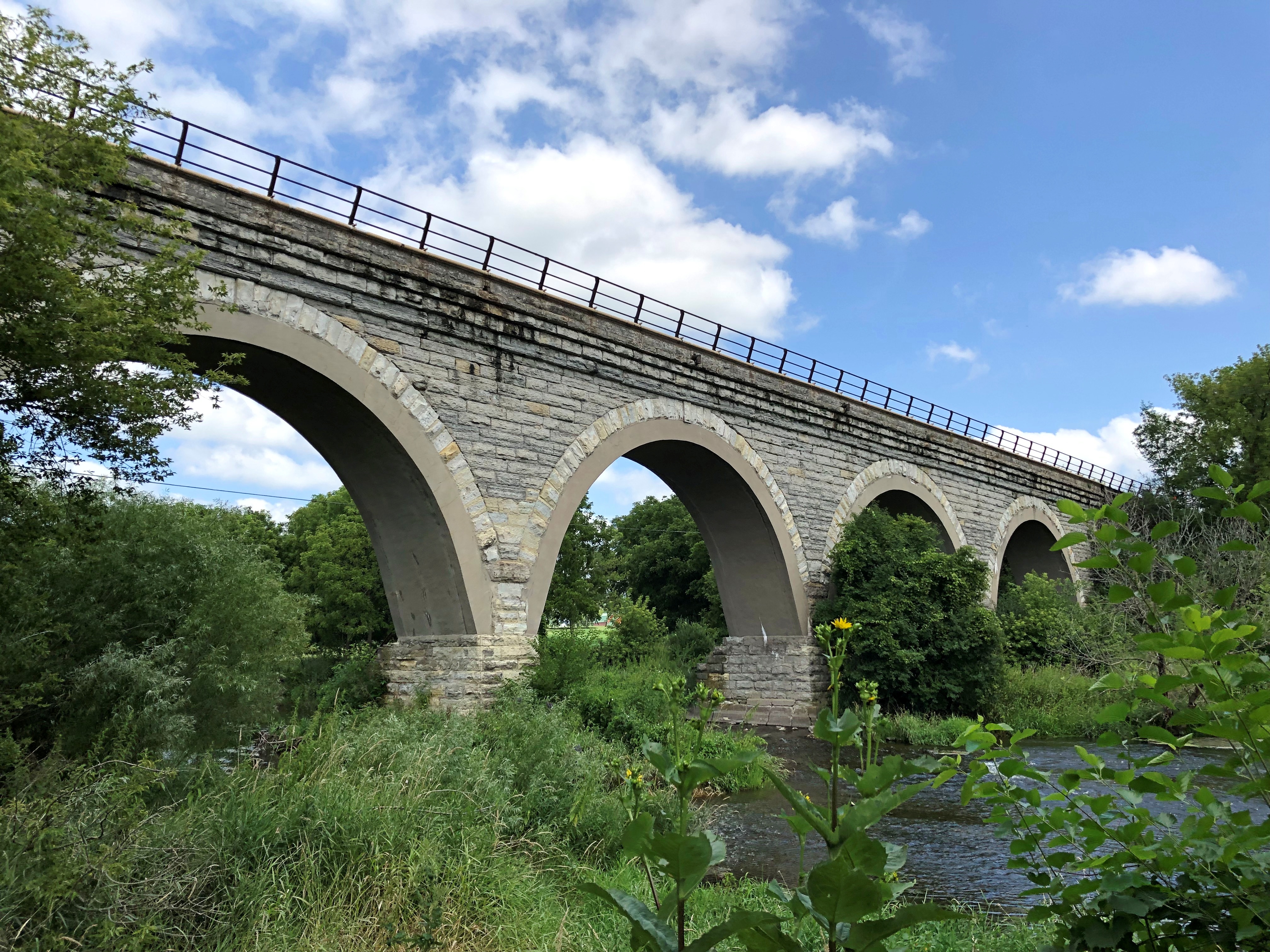
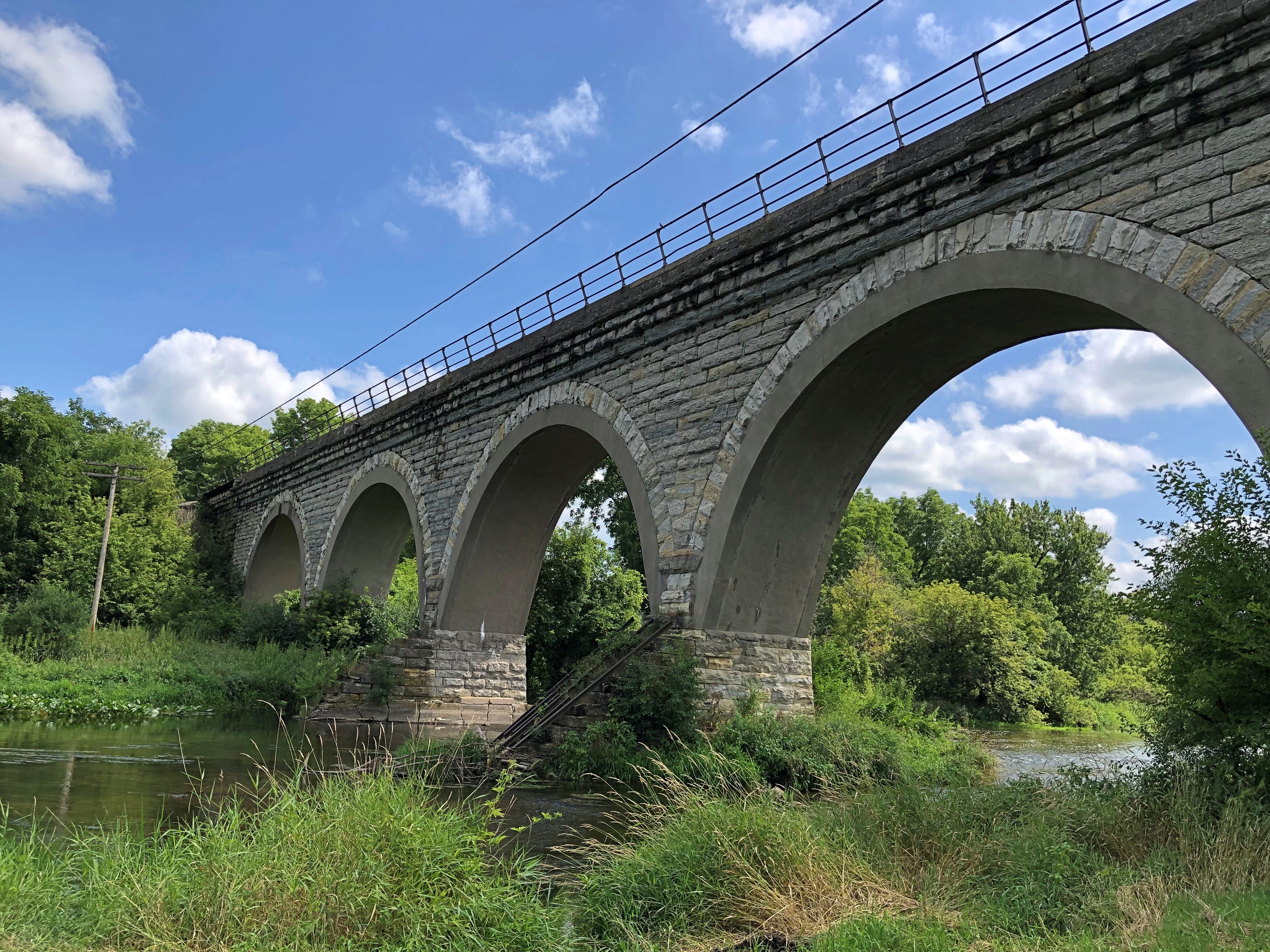
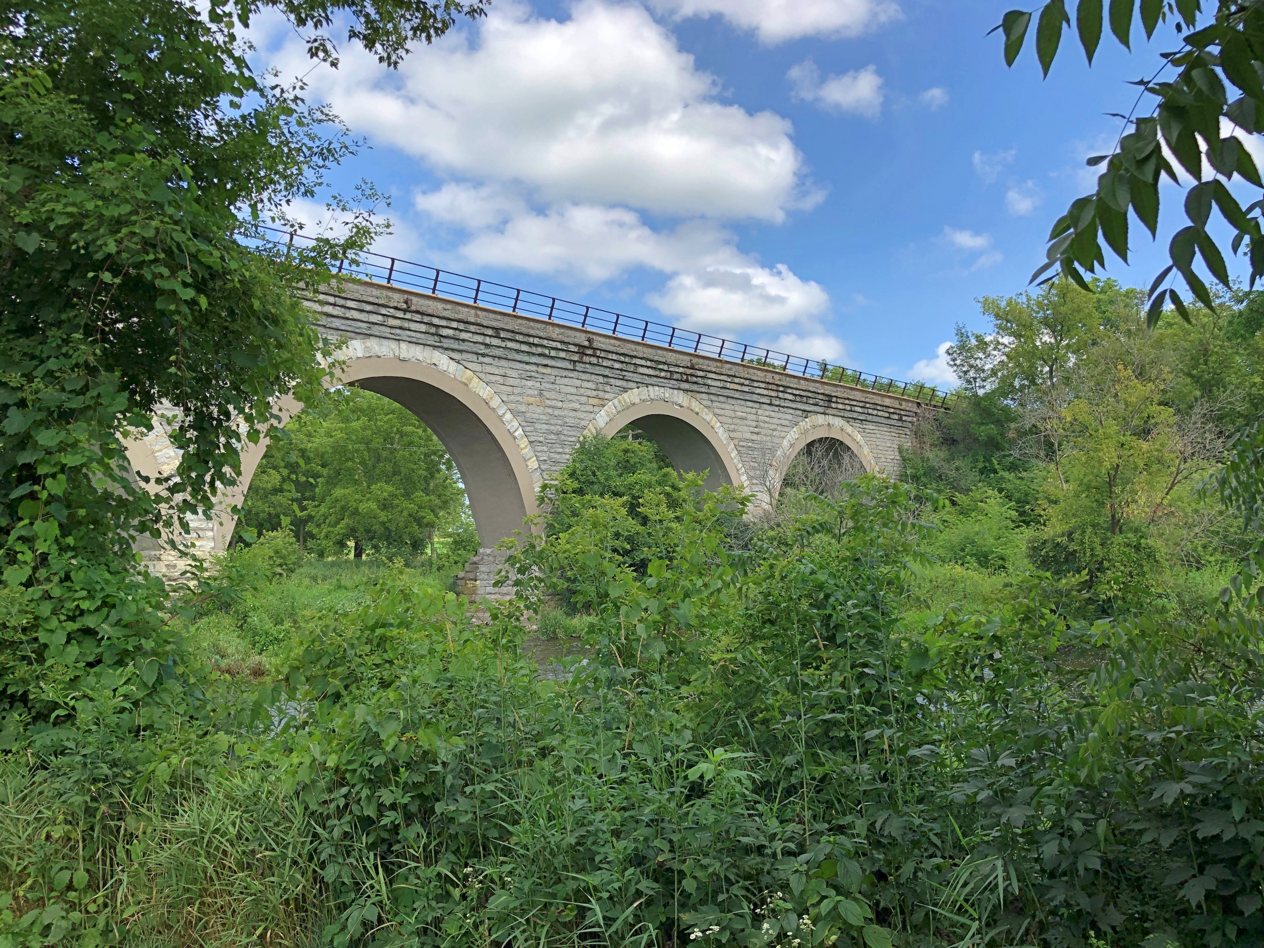
Near Beloit, Wisconsin – close to the town of Shopiere, but not in any town, is a spot called Turtle Creek Parkway, a Rock County park. At four acres, it’s the rural equivalent of a pocket park, with its star attraction across a field next to Turtle Creek: the Tiffany Bridge, or the Tiffany Stone Bridge, vintage 1869, which as far as I know is still a working railroad bridge. (Tiffany is another nearby town.)Tiffany Bridge, Shopiere Tiffany Bridge, Shopiere

More than 20 years ago, I visited the bridge, accompanied by small child and pregnant wife. It wasn’t a park then, just a wide place in the road to stop. Enough people must have stopped there for the county to get a hint, I guess, and acquire and develop the land by adding a boat launch on Turtle Creek, a small rental event building, and a small parking lot.

Regardless, it’s hard to take a bad up-close picture of the structure.Tiffany Bridge, Shopiere Tiffany Bridge, Shopiere Tiffany Bridge, Shopiere

Just a hunch: the arches are too sturdy to destroy in a cost-effective way, so it abides.

Rather than return to the Interstate right away, I headed out from Shopiere onto the small roads where I eventually heard about Alice Cooper. Not long before that encounter, I spotted a tank in the hamlet of Turtle, Wisconsin.Turtle, Wisconsin

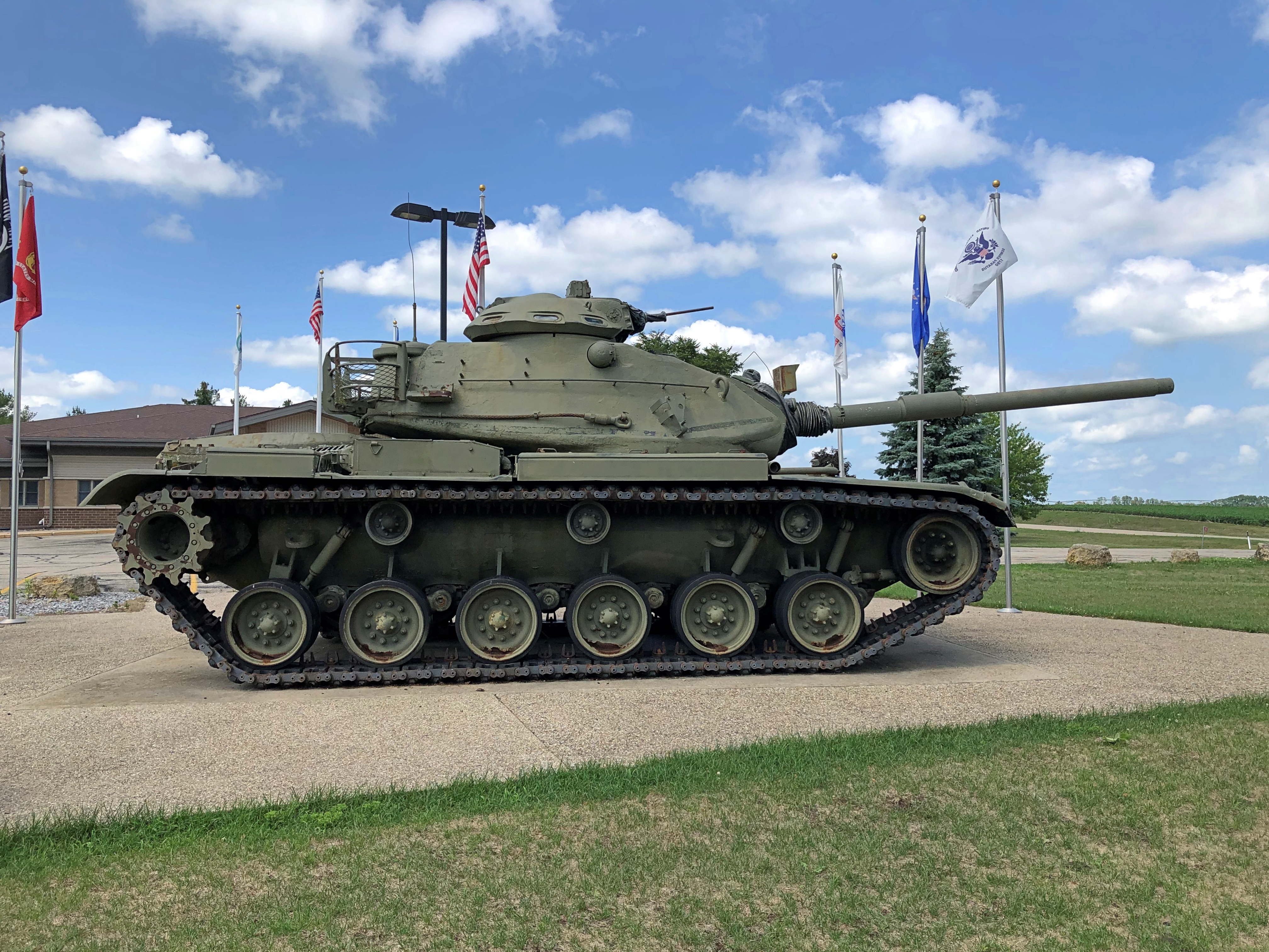
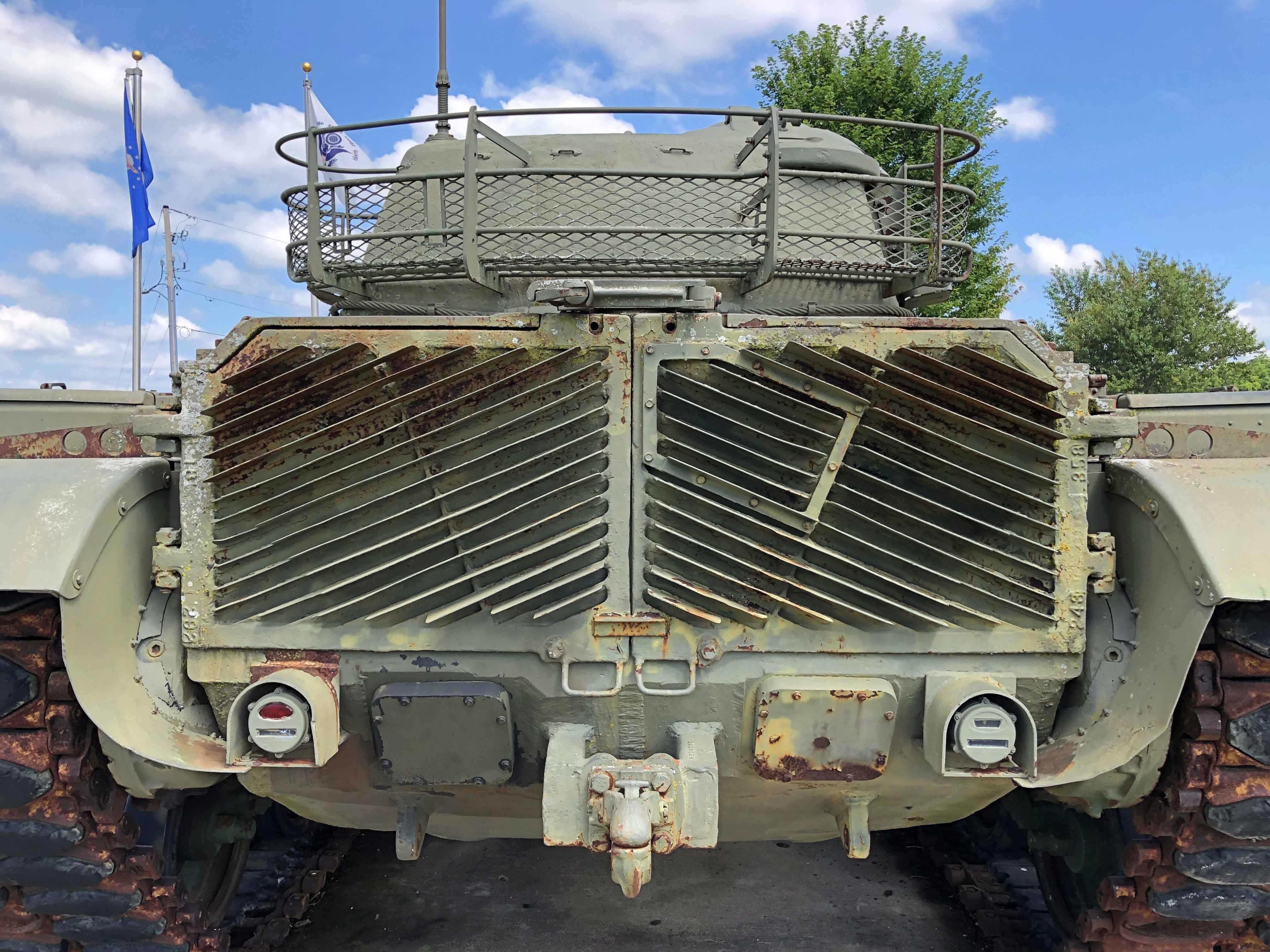
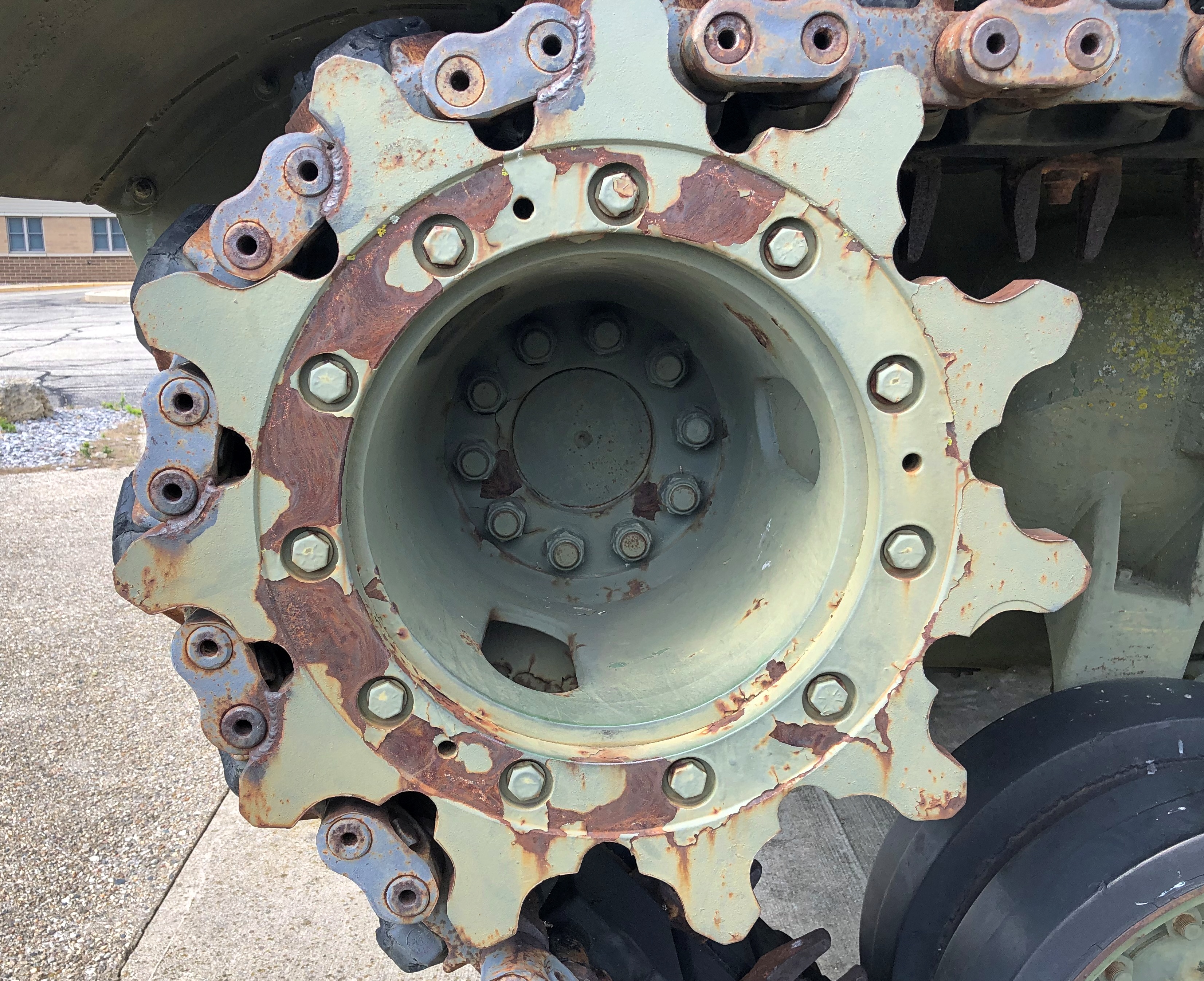
Another former Wisconsin National Guard tank, an M60A3.Turtle, Wisconsin Turtle, Wisconsin

It’s part of a plaza honoring veterans of the area. Interesting to run into another tank in southern Wisconsin so soon after the last one. I decided to keep an eye out for tanks on the rest of the drive, and sure enough I spotted more as the drive progressed.

Thurmond, West Virginia

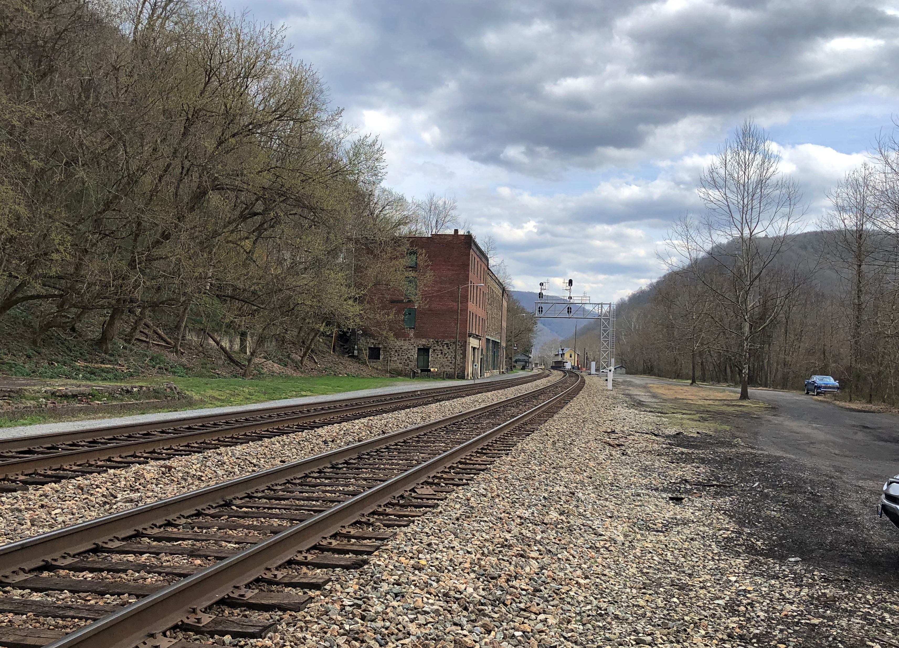
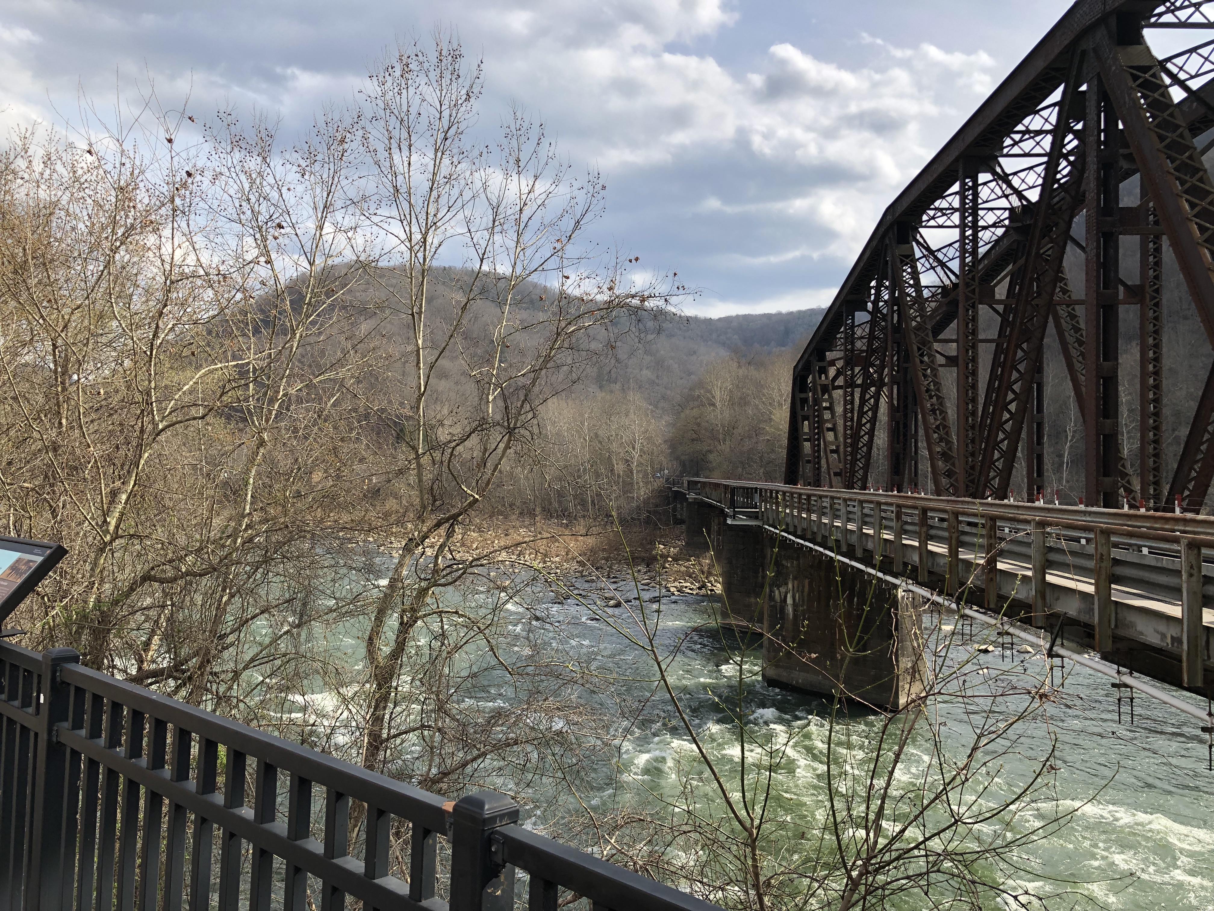
I was thinking ghost town, but the data says otherwise. Someone lives in Thurmond, West Virginia — five people as of the 2020 Census. They must be in the few houses perched on the enormous slope over the historic core of the town, which is formed by a string of commercial buildings and railroad structures at a flat place next to the New River.Thurmond, West Virginia

Thurmond was a small railroad town at a waystation, back when that meant coal-burning giants among locomotives, which came to pick up shipments of coal, or acquire coal, water and sand for their own use. Maybe the shades of long-gone people wander Thurmond, if you believe that sort of thing, and if so, the rattle of pouring coal, the venting of steam, the screech of metal on metal, are echoing on as well.

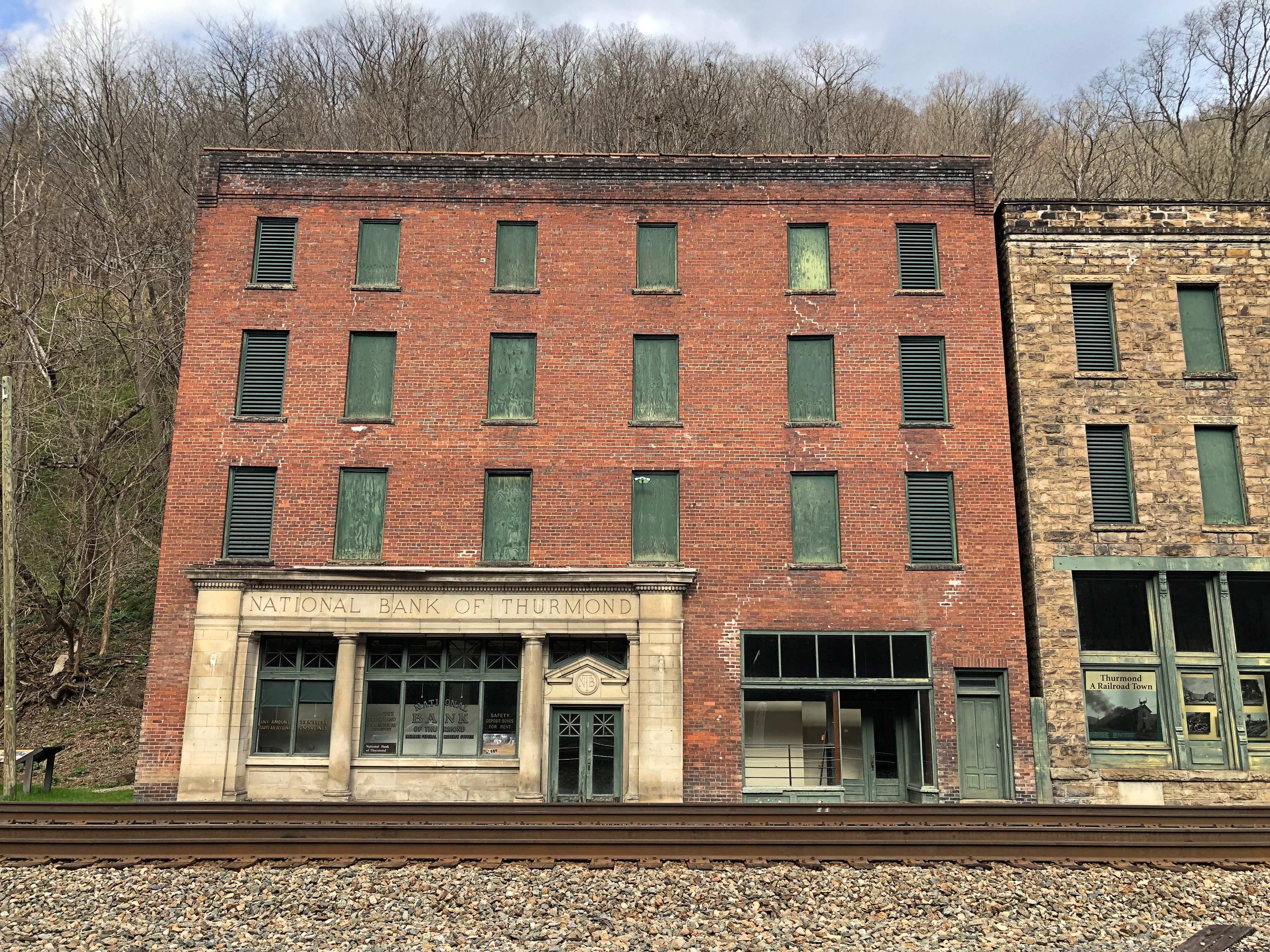
What does every railroad town need?Thurmond, West Virginia Thurmond, West Virginia

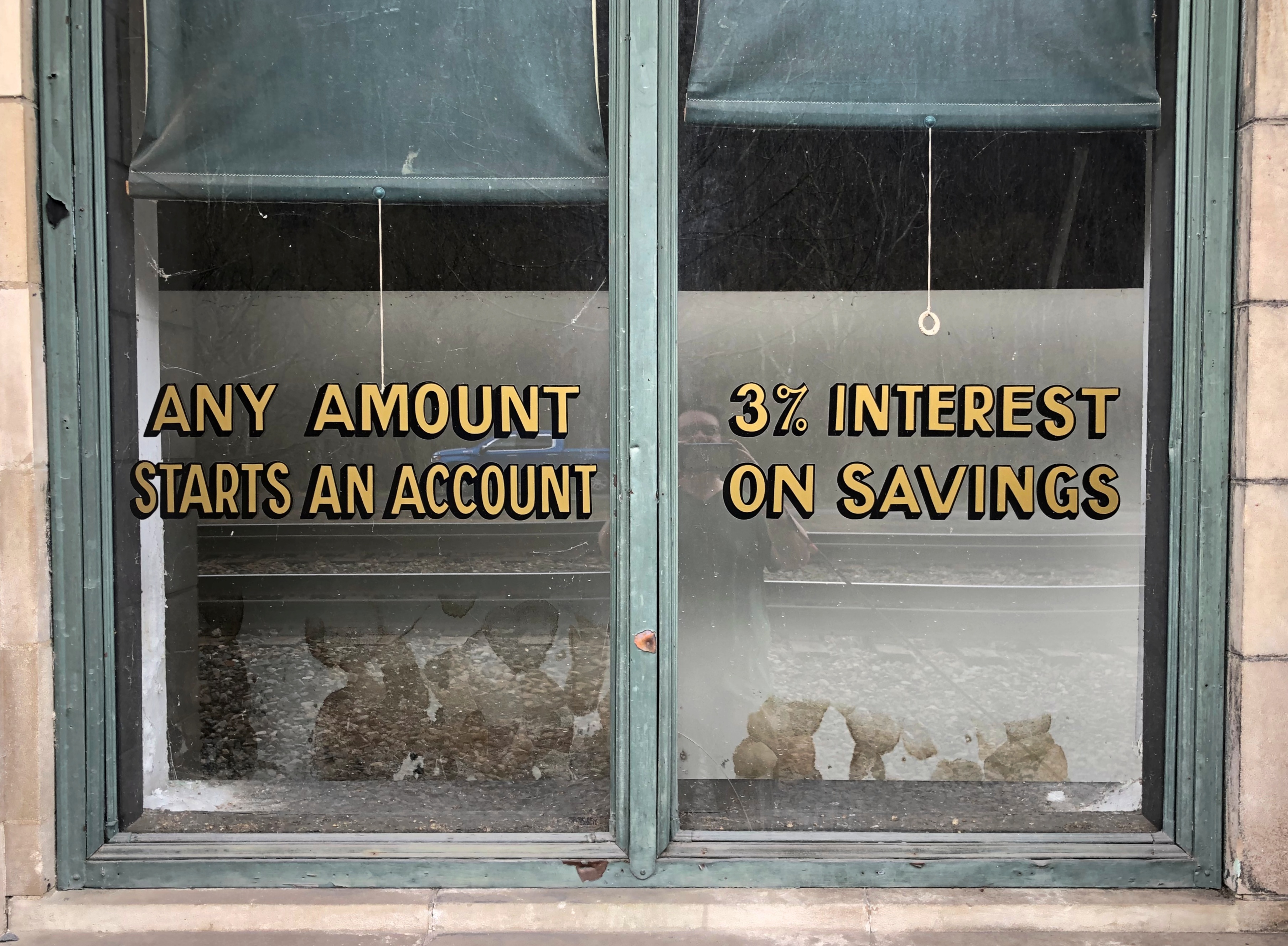
The National Bank of Thurmond failed in 1931, but there were successor banking entities of some kind in the building into in the 1950s, when the town essentially shut down. The fact that the last bank paid 3 percent reminds me of a shorthand for the way mid-century savings and loans did their business: 3-5-3. Pay 3 percent to depositors, charge borrowers 5 percent interest, and close up to go play golf at 3 pm.

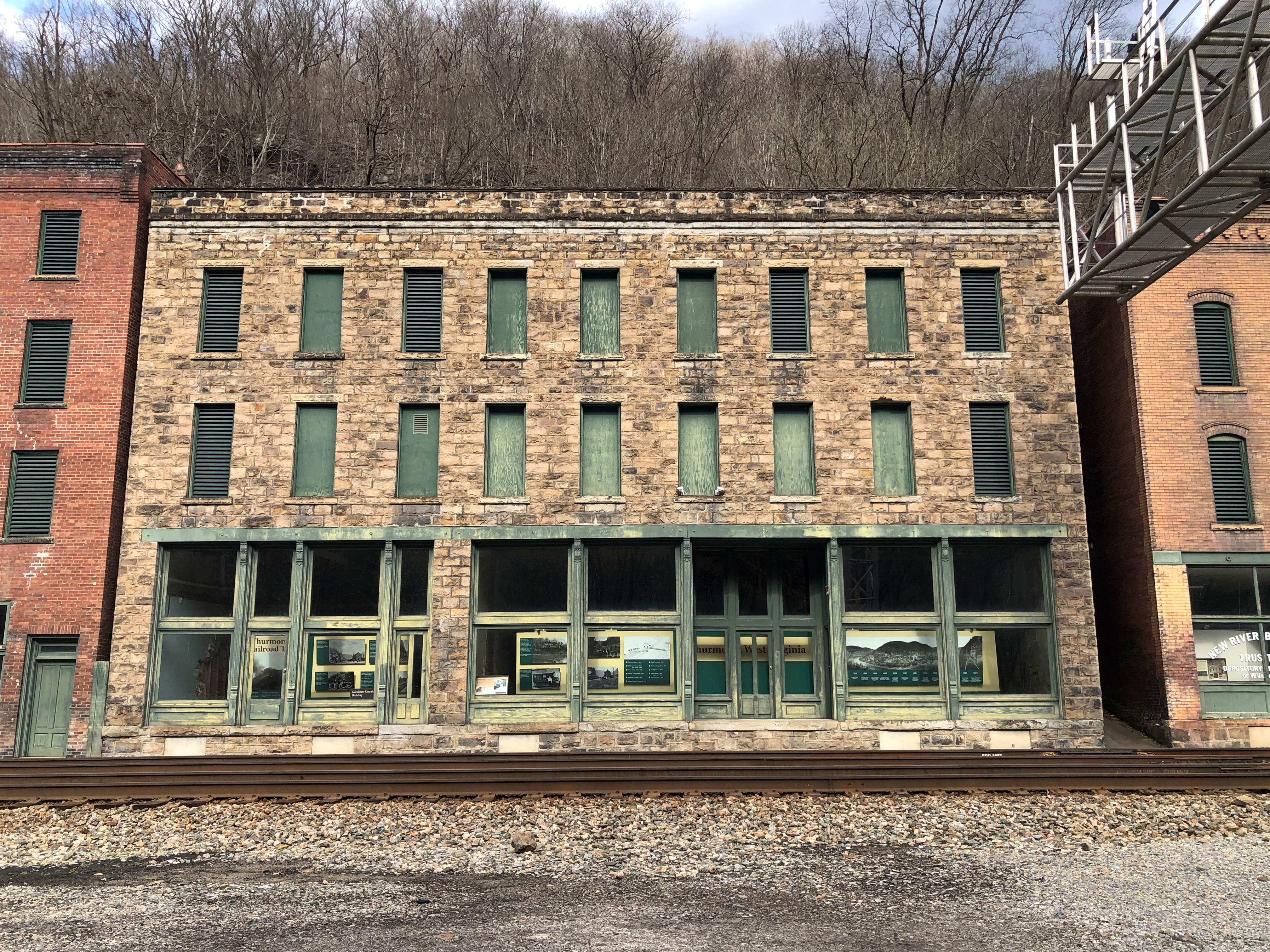
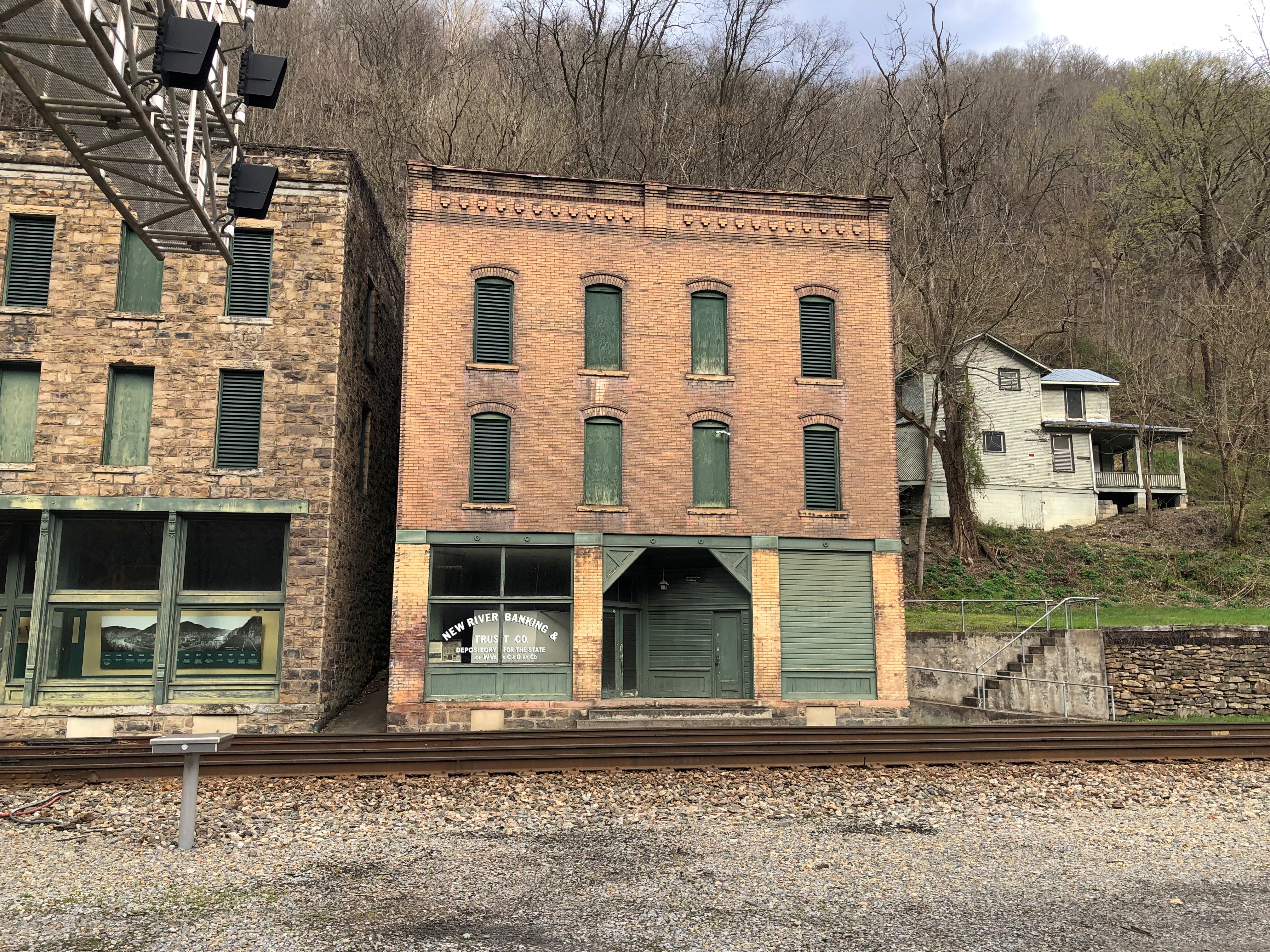
Other commercial buildings fronting the tracks, with the river just a little beyond them.Thurmond, West Virginia Thurmond, West Virginia

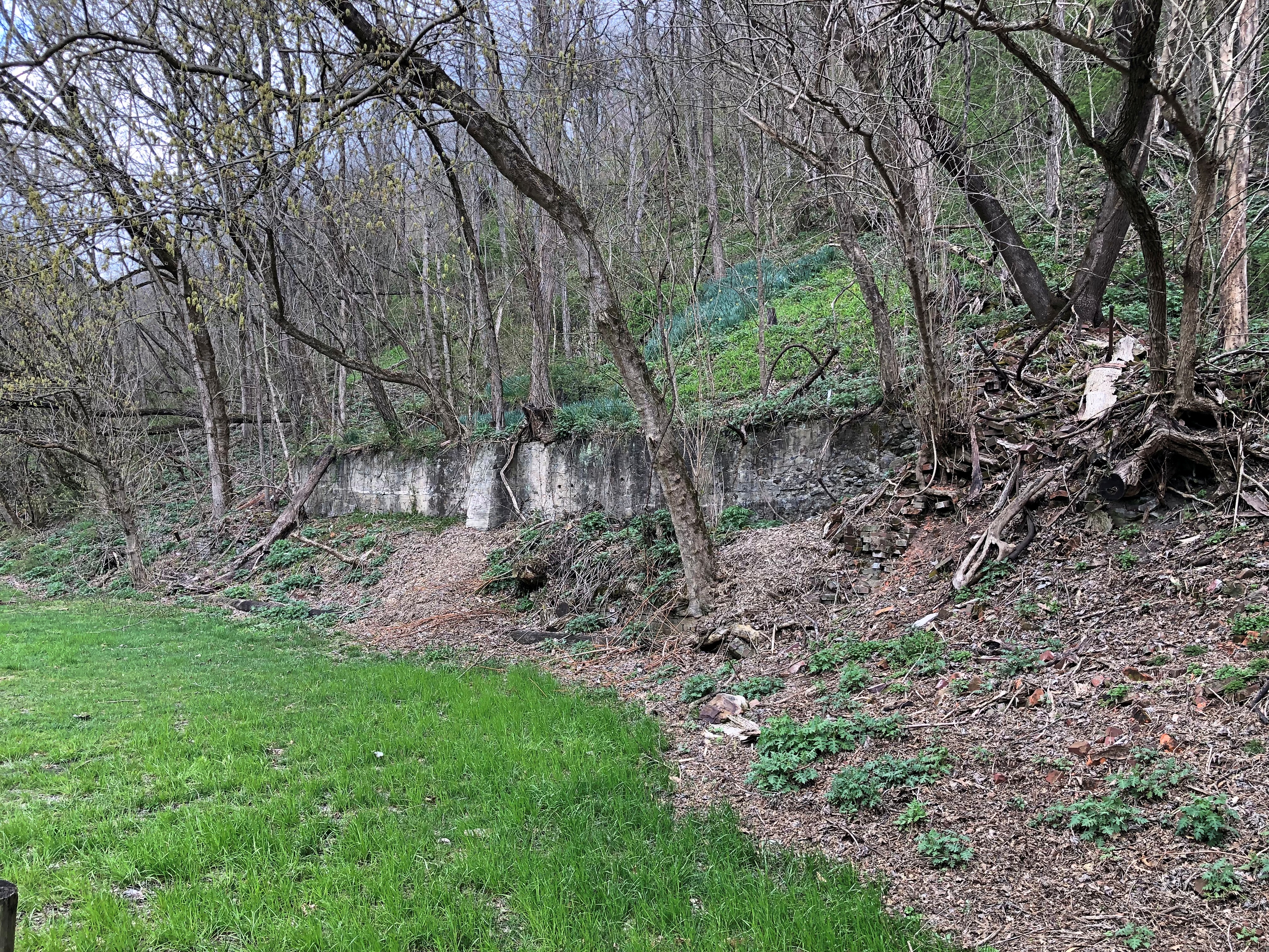
The mostly hidden ruins of a grand hotel on the slope. Burned down.Thurmond, West Virginia

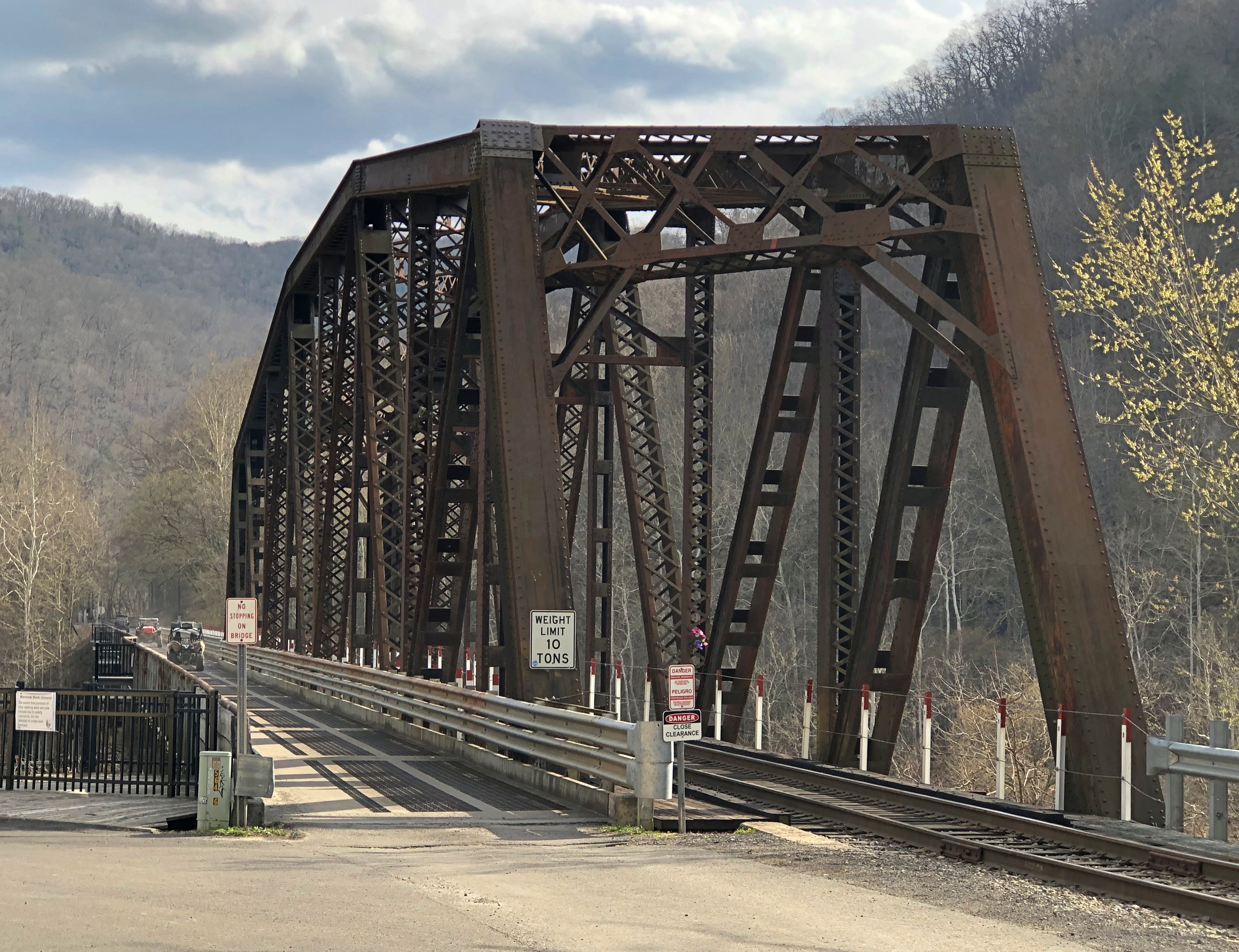
The bridge that brings trains and motor vehicles to Thurmond over the New River. One track, one lane.Thurmond, West Virginia Thurmond, West Virginia

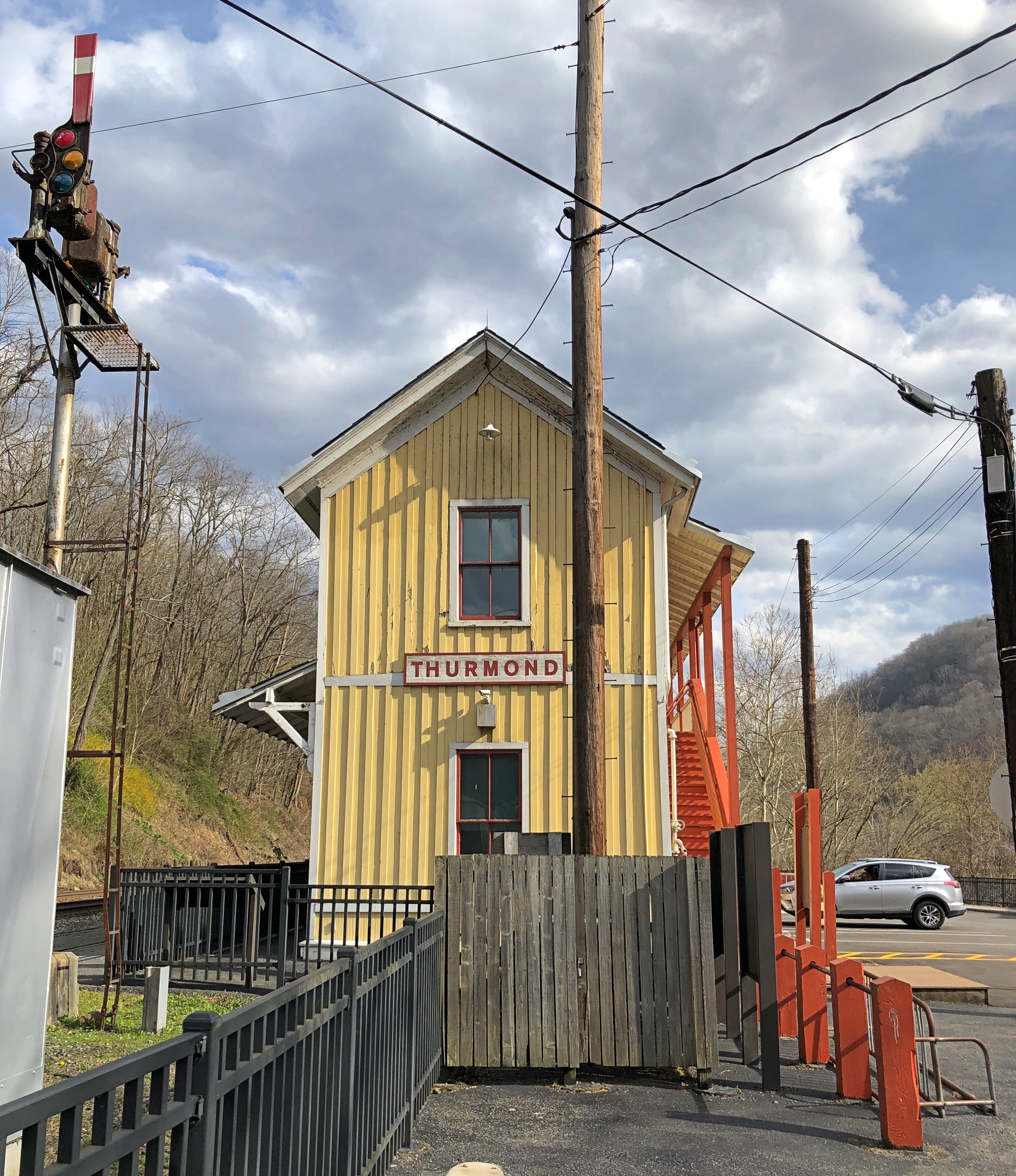
The station. I thought it was merely for tourist use now, but no: it’s an active Amtrak station, reportedly the second-least used, after one in West Texas. So not that active.Thurmond, West Virginia

The steam went out of Thurmond pretty much when the steam went out of Thurmond. That is, coal-fired steam locomotives disappeared, replaced by diesel, and the contracting coal industry as natural gas gained a foothold nationally probably didn’t help either.

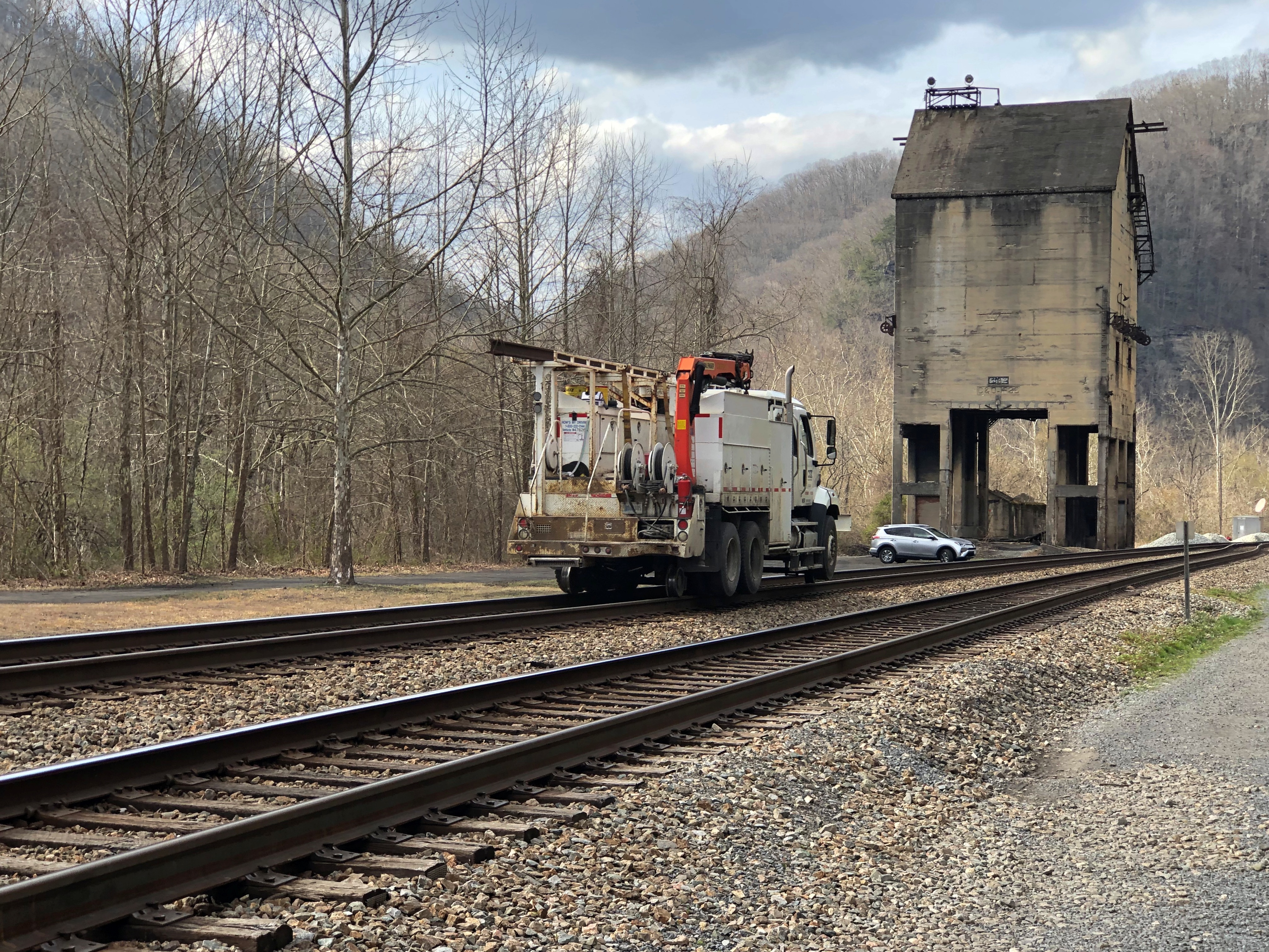
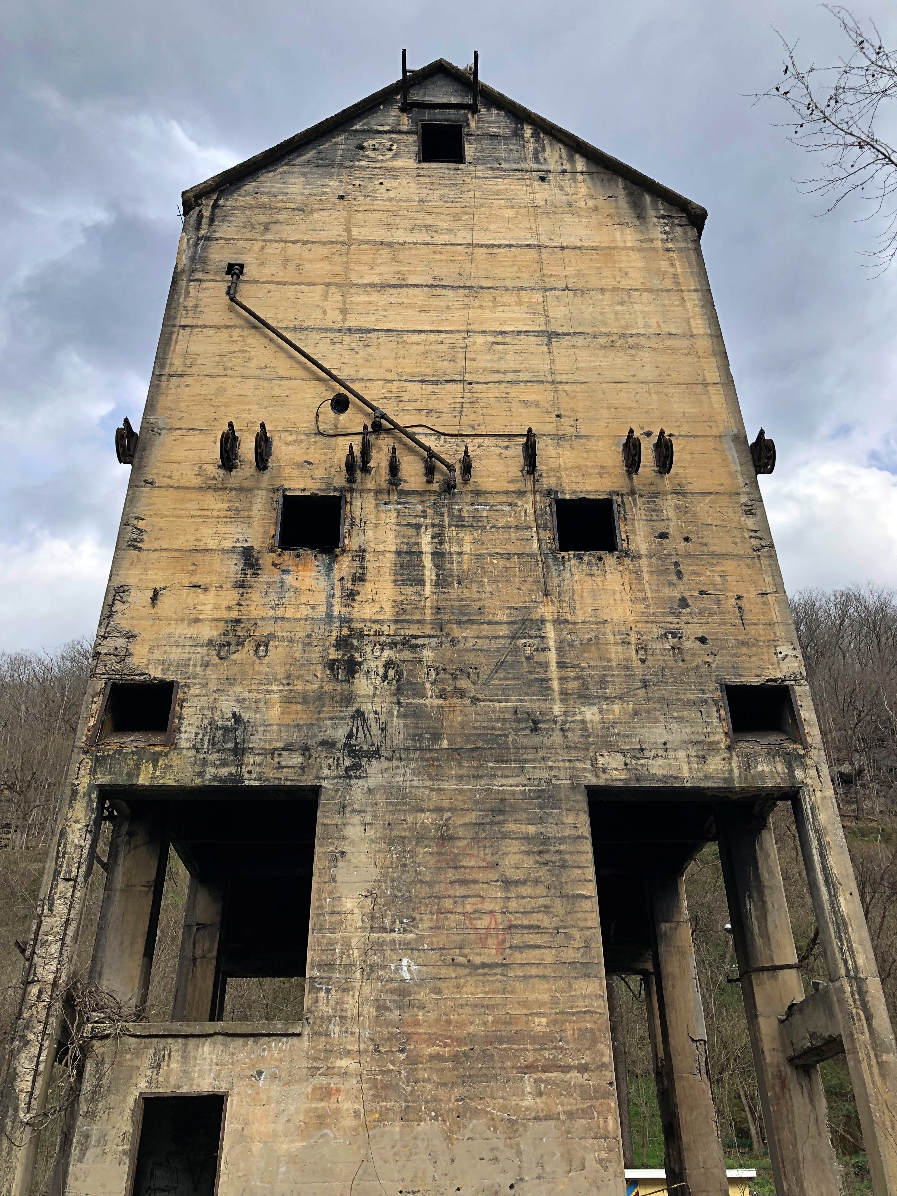
Trains still transit Thurmond, but the land around — most of it, anyway, as boundaries are invisible — belongs to the national park. The star of modern Thurmond, I believe, is the ruin of the coaling tower.Thurmond, West Virginia Thurmond, West Virginia

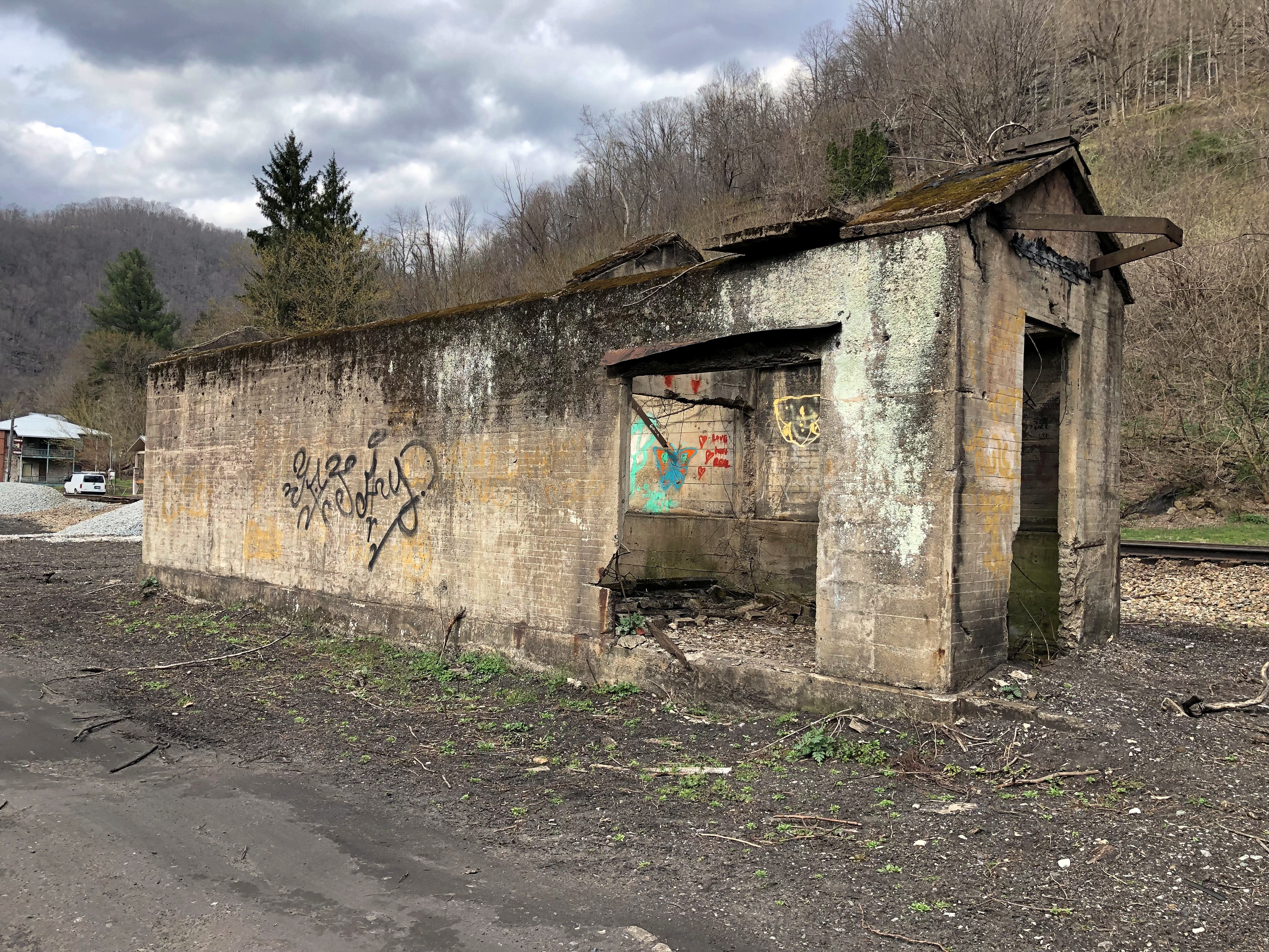
Near the coaling tower. Maybe where the crew boss stayed, and members of the crew when no trains were in town.Thurmond, West Virginia

Both are full of the ravages of time, but still standing. Barely? I’m not engineer enough to make an assessment, but my layman’s opinion is that chunks of stone drop off the tower now and then, so watch out.

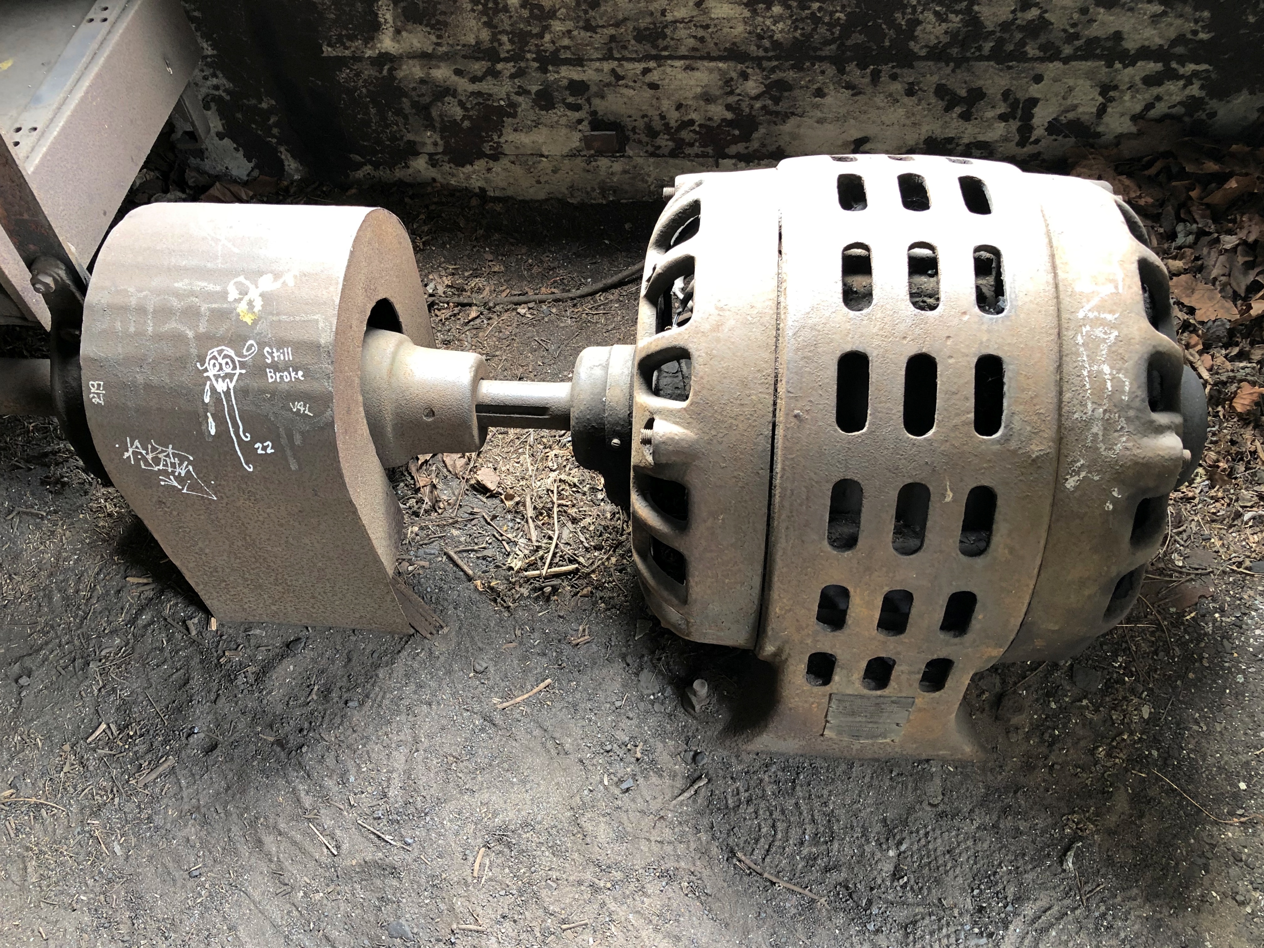
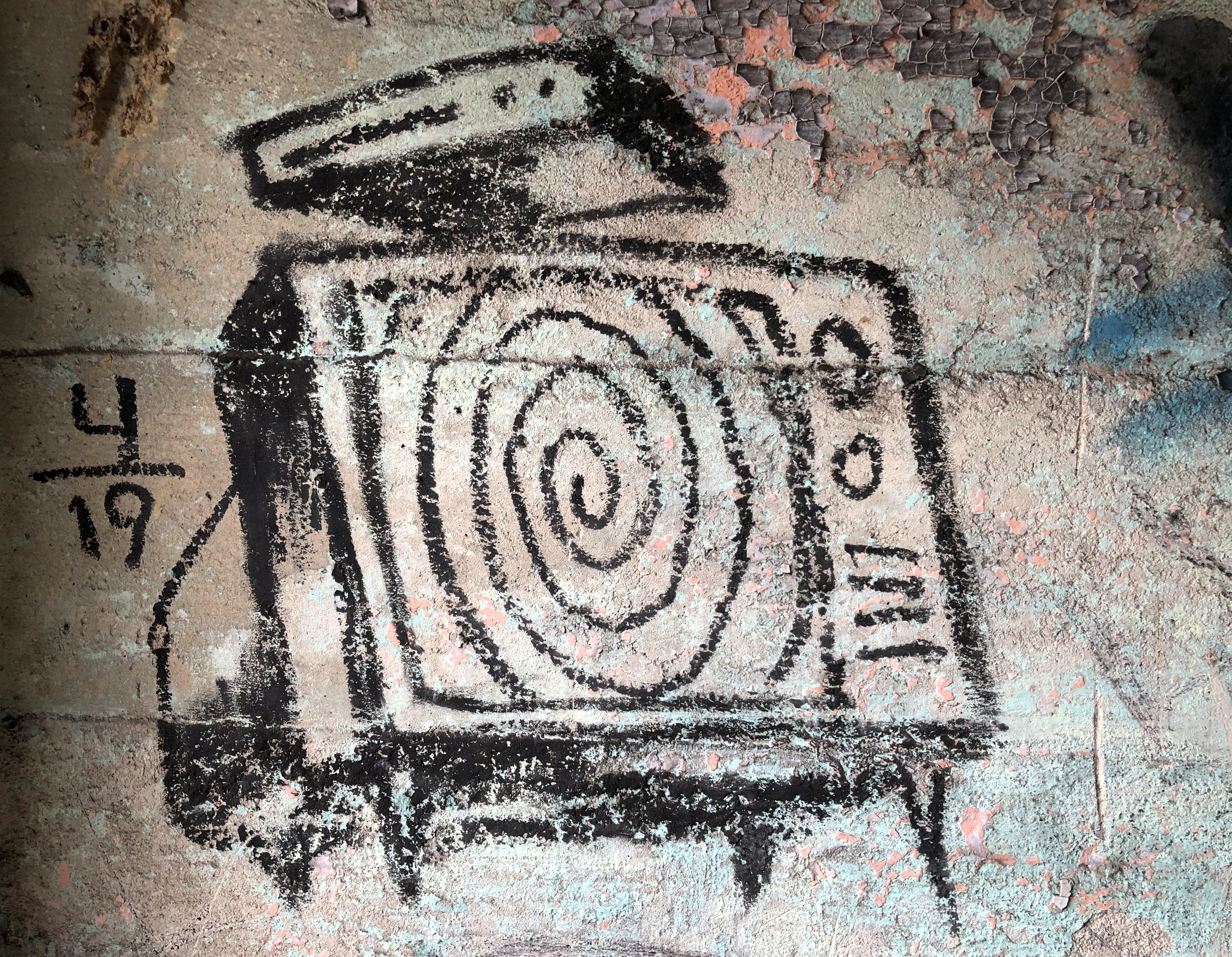
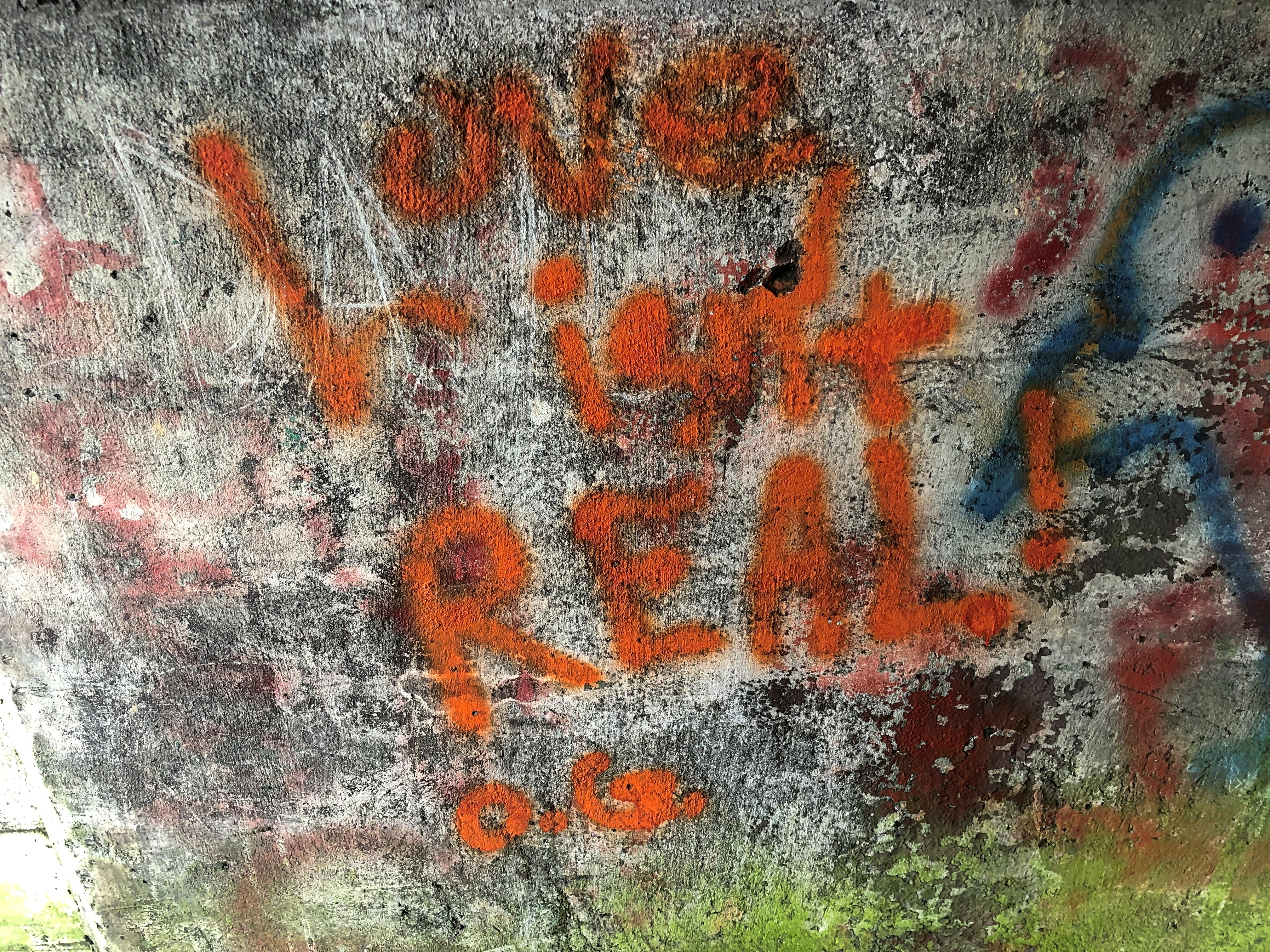
A selection of graffiti.Thurmond, West Virginia Thurmond, West Virginia

Bleak, O.G. Bleak.

Ohiopyle State Park

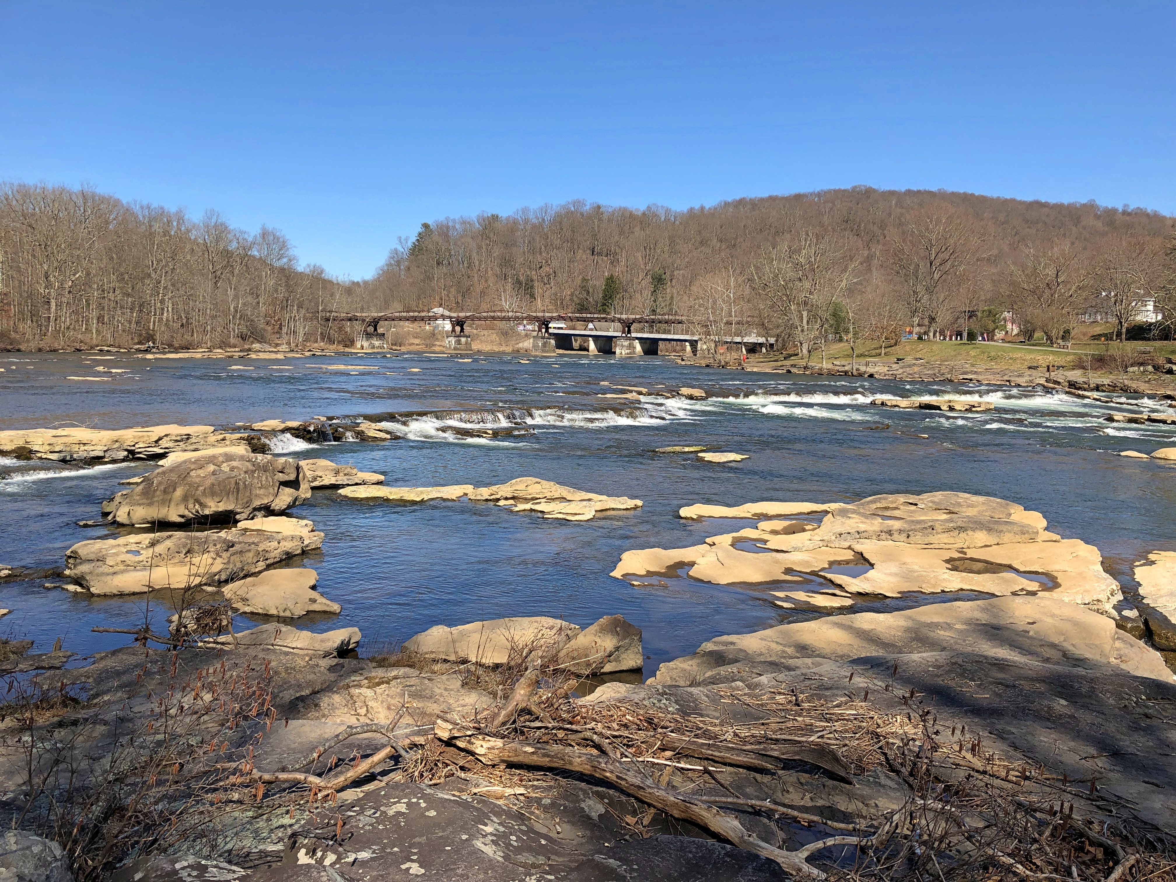
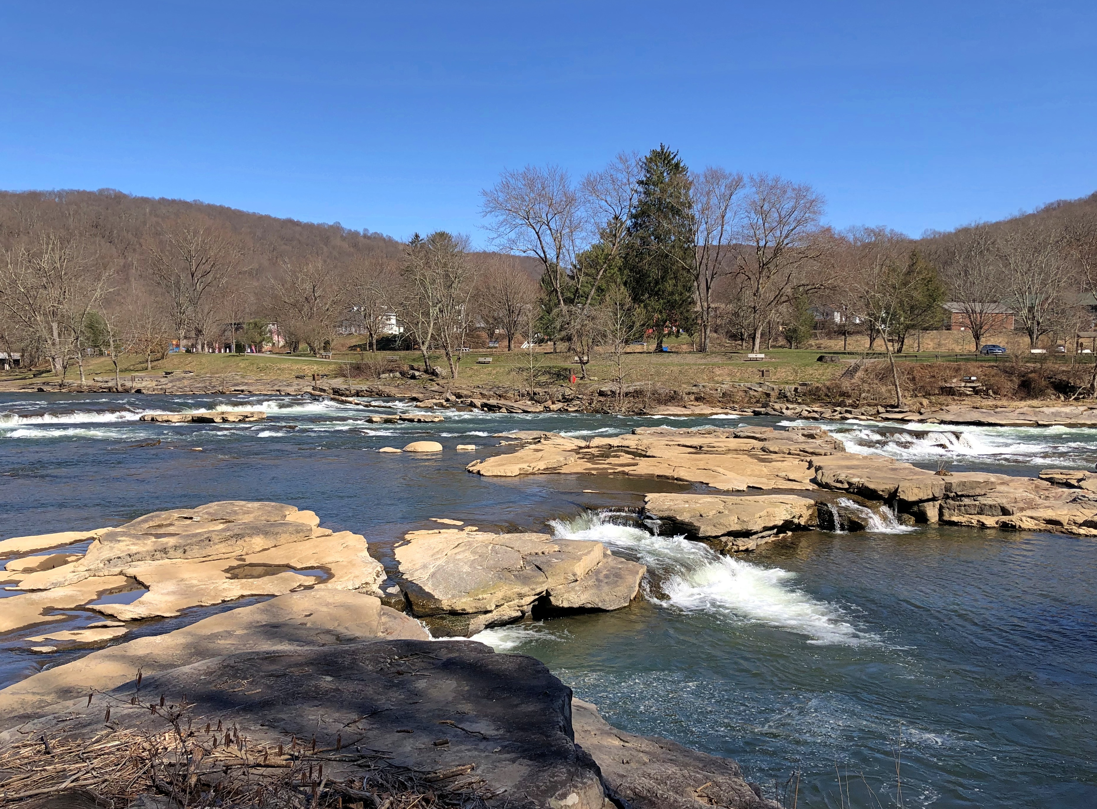
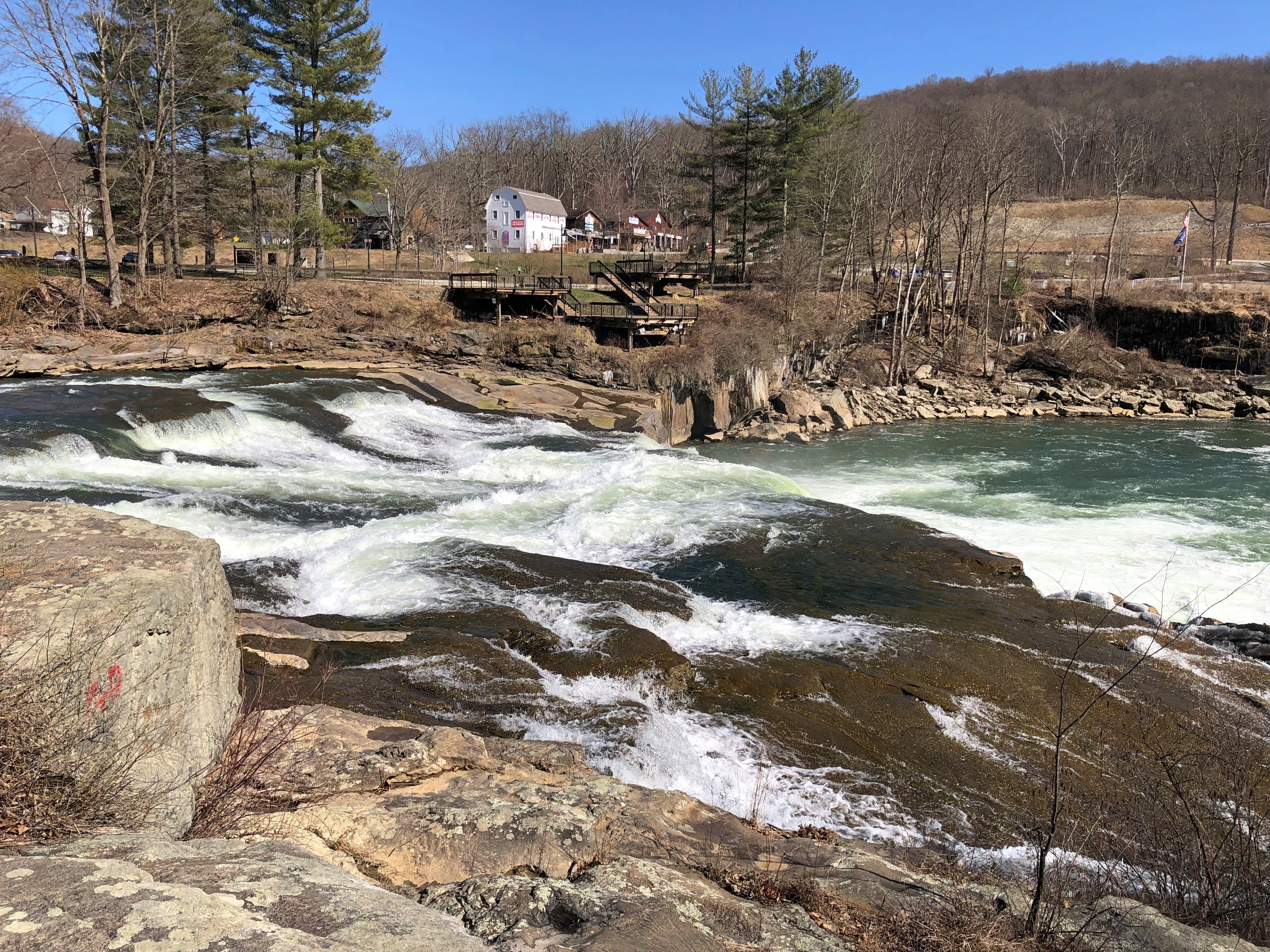
The curious name Ohiopyle has naught to do with Ohio, which is apparently from a Seneca word meaning “big river” – but rather apparently a Delaware (Lenape) word meaning “frothy waters.” Standing on the banks of the Youghiogheny River, looking at Ohiopyle Falls in Ohiopyle State Park in southwestern Pennsylvania, that’s easy to see.Ohiopyle Falls

For its part, Youghiogheny, also Lenape, apparently means “flowing backwards,” and so it seems to at times, as it twists along, including in the park. I say apparently each time because I only know what I read, and am not an authority on any Native American language, or the place names that evolved from Indian words, which have a long history of being mangled or given over to (apparently) fanciful translations.

The state park is large – more than 20,000 acres – and Fallingwater is just outside its bounds. After visiting Fallingwater, we sought lunch in the town of Ohiopyle, which is actually the borough of Ohiopyle. Pennsylvania has counties, cities, boroughs and townships, but not towns, according to the Pennsylvania Manual, Volume 125, page 6-3. Boroughs form a middle rank of populated areas between cities and townships.

Anyway, the borough of Ohiopyle is only a few blocks in any direction, and clearly a tourist town, but not on the order of Gatlinburg in Tennessee or Wisconsin Dells or Hannibal, Mo. Rather, it caters to visitors to the park, who are mostly there for rafting, kayaking, and canoeing on the waters, and hiking, horseback riding, cross-country skiing, mountain biking and snowmobiling on land. I have a feeling the place is best known to Yinzers and unpleasantly crowded on summer weekends.

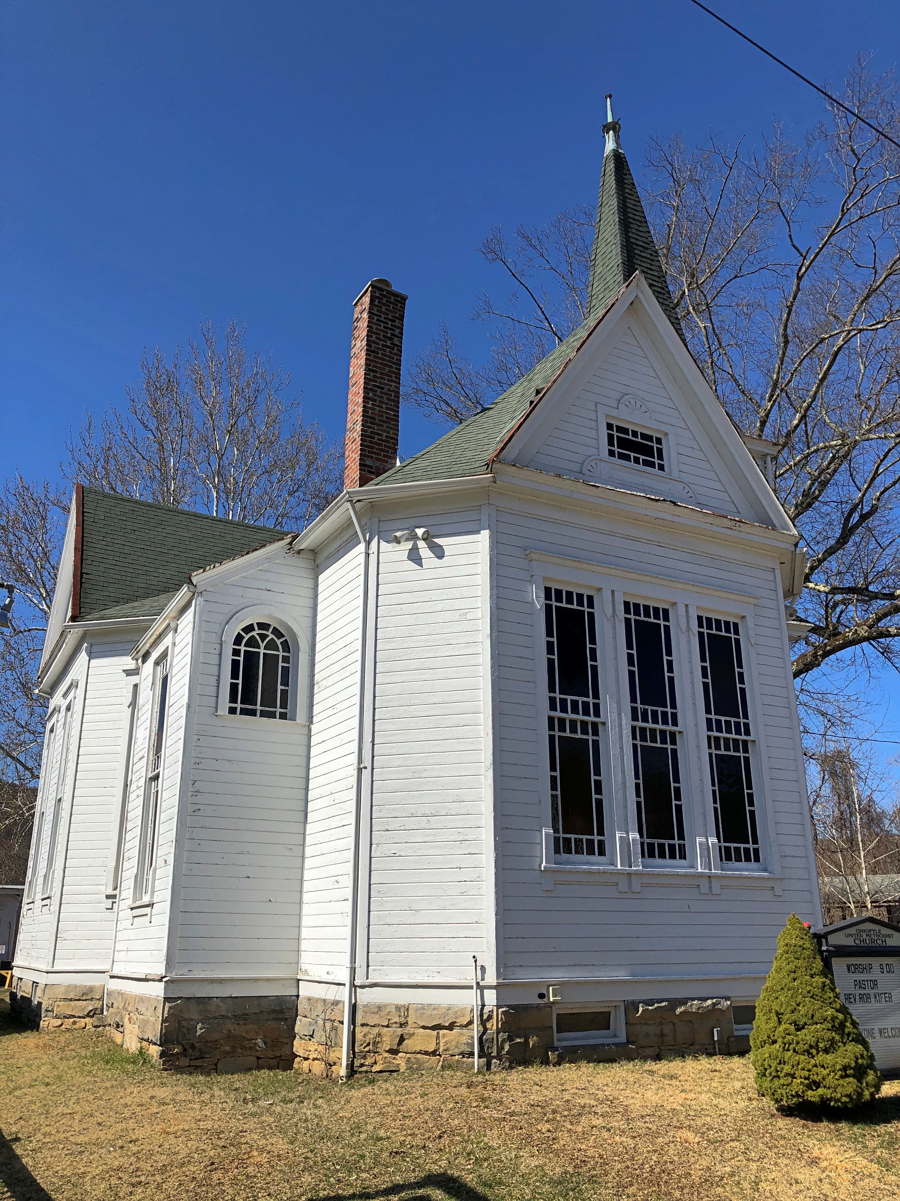
Mid-March is low season, and so pleasantly uncrowded. Only one place that served food seemed to be open, and we got sandwiches to go. There must be some full-time residents. Someone goes to Ohiopyle United Methodist Church.Ohiopyle

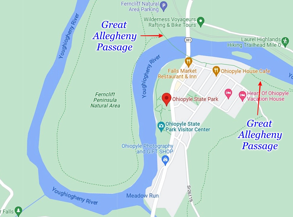
Across the street from the church is a former train station, these days a tourist office with public bathrooms that serve recreational travelers on the Great Allegheny Passage. I don’t think I could think of a more Pennsylvania-y name than that for a trail. If we had a mind to – or more to the point, time for it – we could have walked to Pittsburgh. Or to Cumberland, Maryland, going the other way.

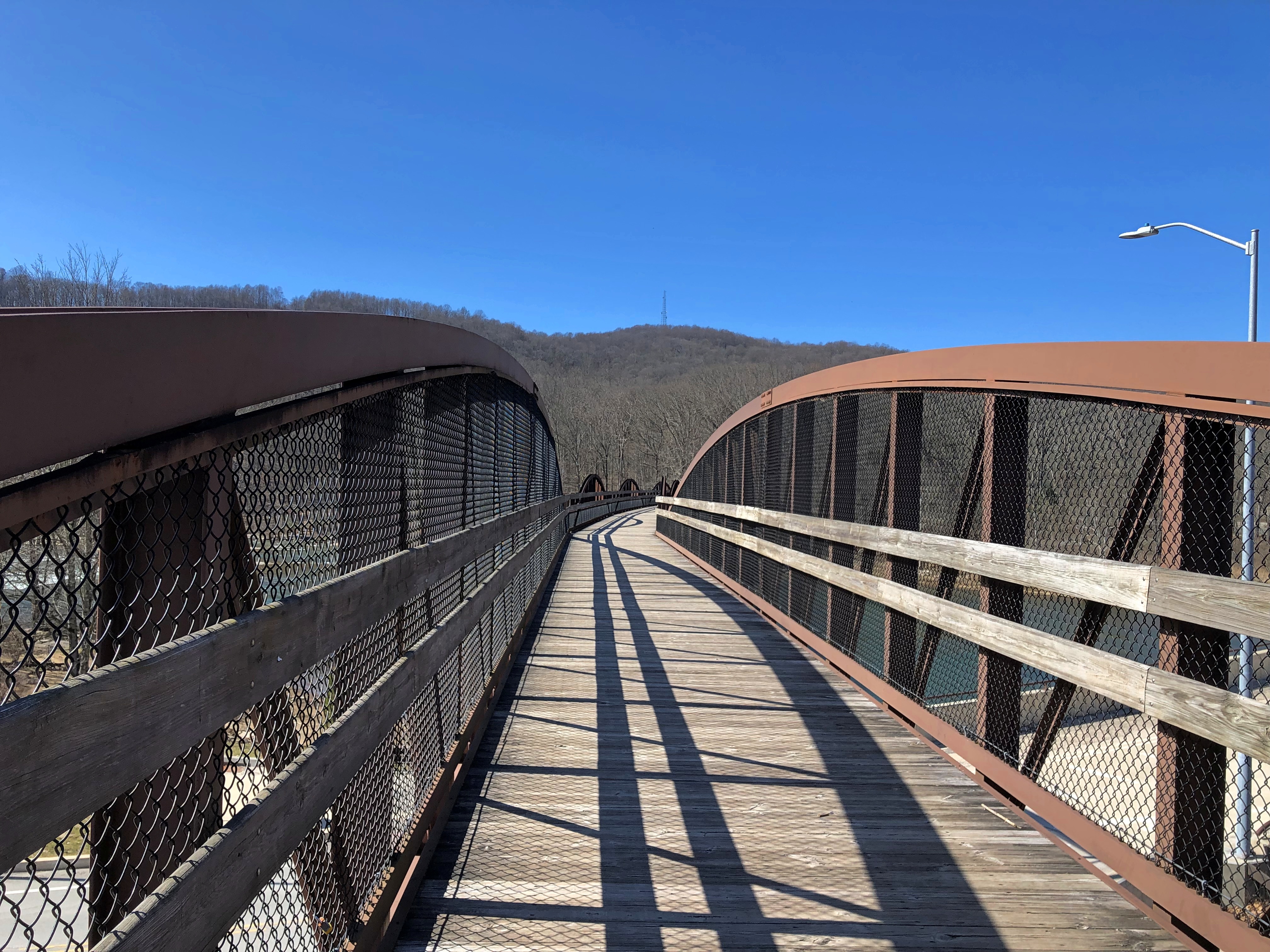
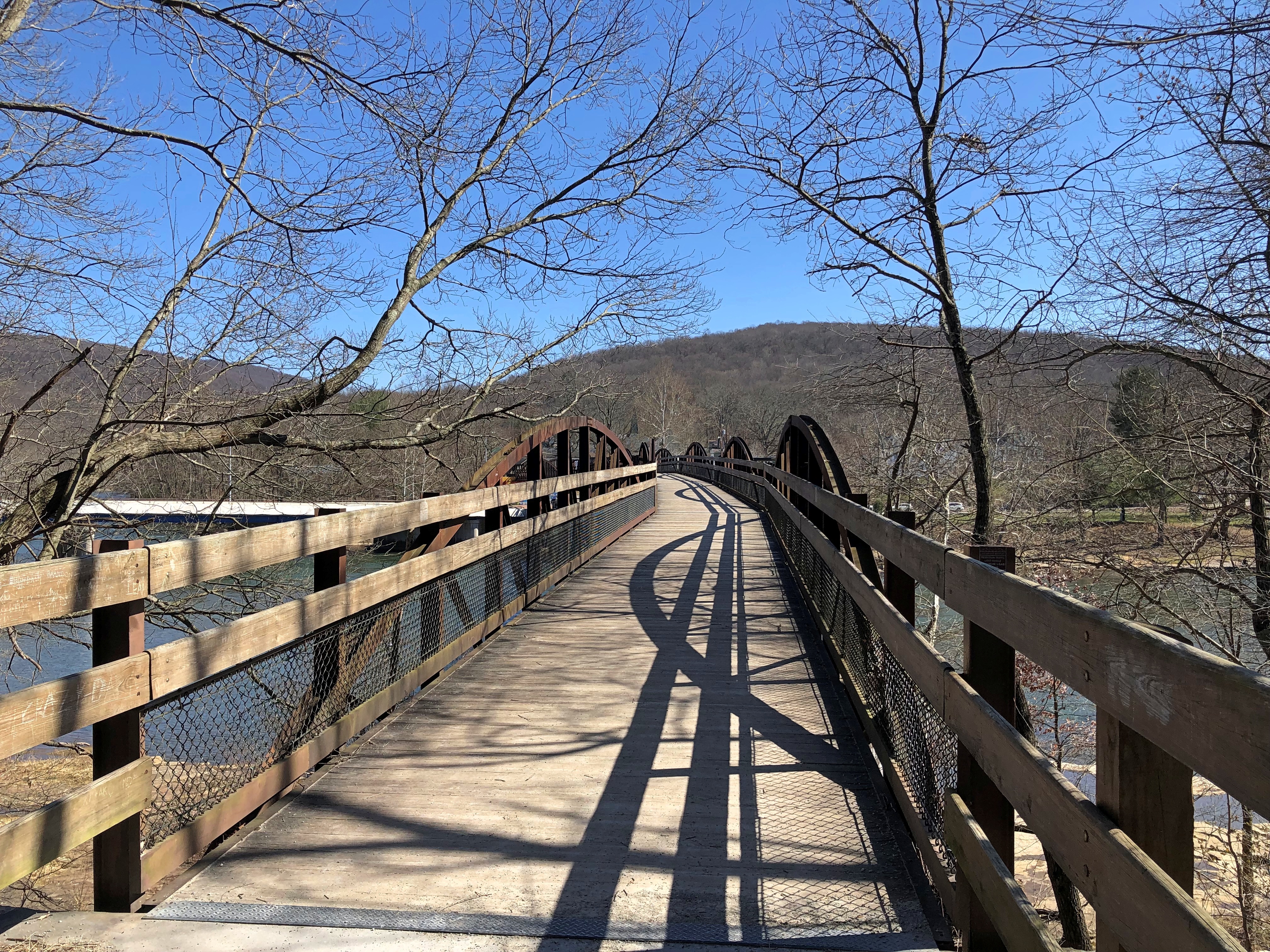
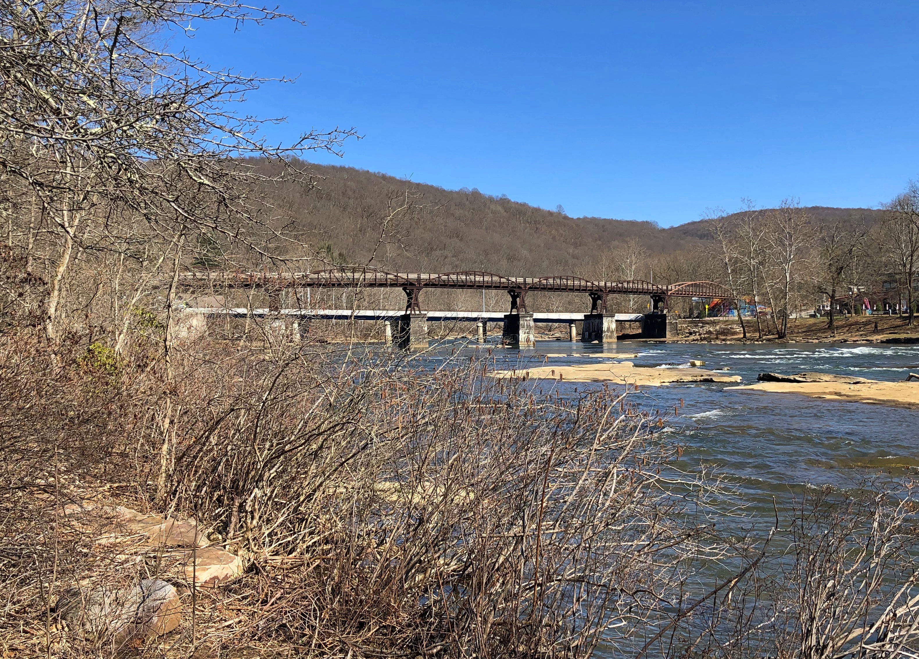
I didn’t know it at the time, but the trail was formed from a series of abandoned railway lines: Baltimore and Ohio Railroad, Pittsburgh and Lake Erie Railroad, Union Railroad, and Western Maryland Railway. Standing in Ohiopyle, all you see is that the trail crosses a cool old railroad bridge.Ohiopyle State Park Ohiopyle State Park Ohiopyle State Park

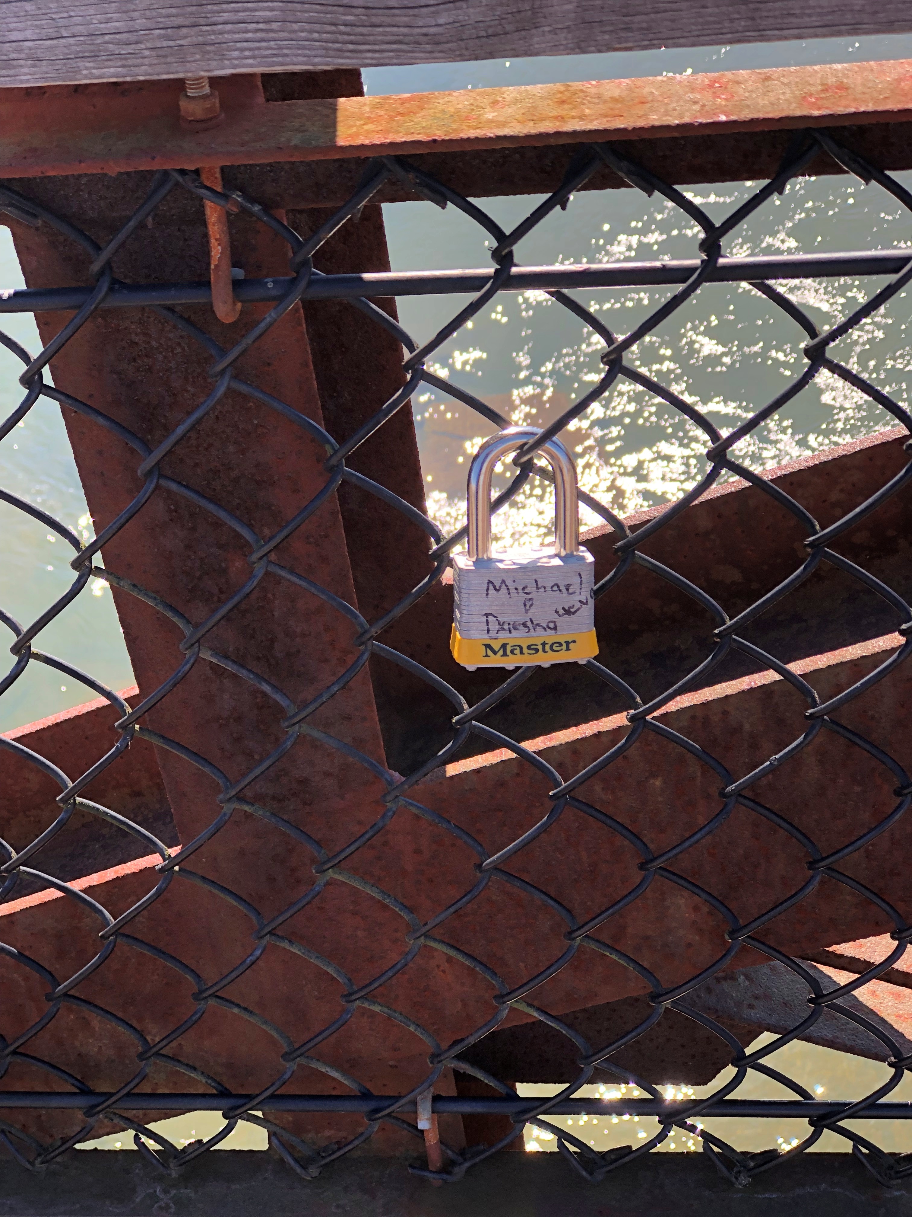
Love locks. Not many, though. Guess that beats graffiti. Ohiopyle State Park

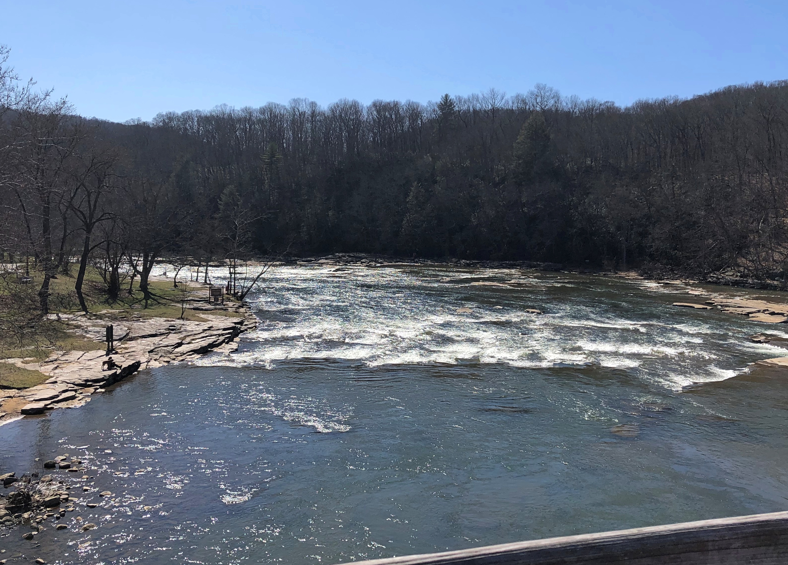
Yuriko and the dog went on ahead. I paused here and there to push my camera button, and take in the views of the Youghiogheny in that better way, with your eyeballs.Ohiopyle State Park

I’d just planned to cross the bridge and come back, but they found a trail at the bottom of the stairs, one leading off onto the Ferncliff Peninsula.Ohiopyle State Park

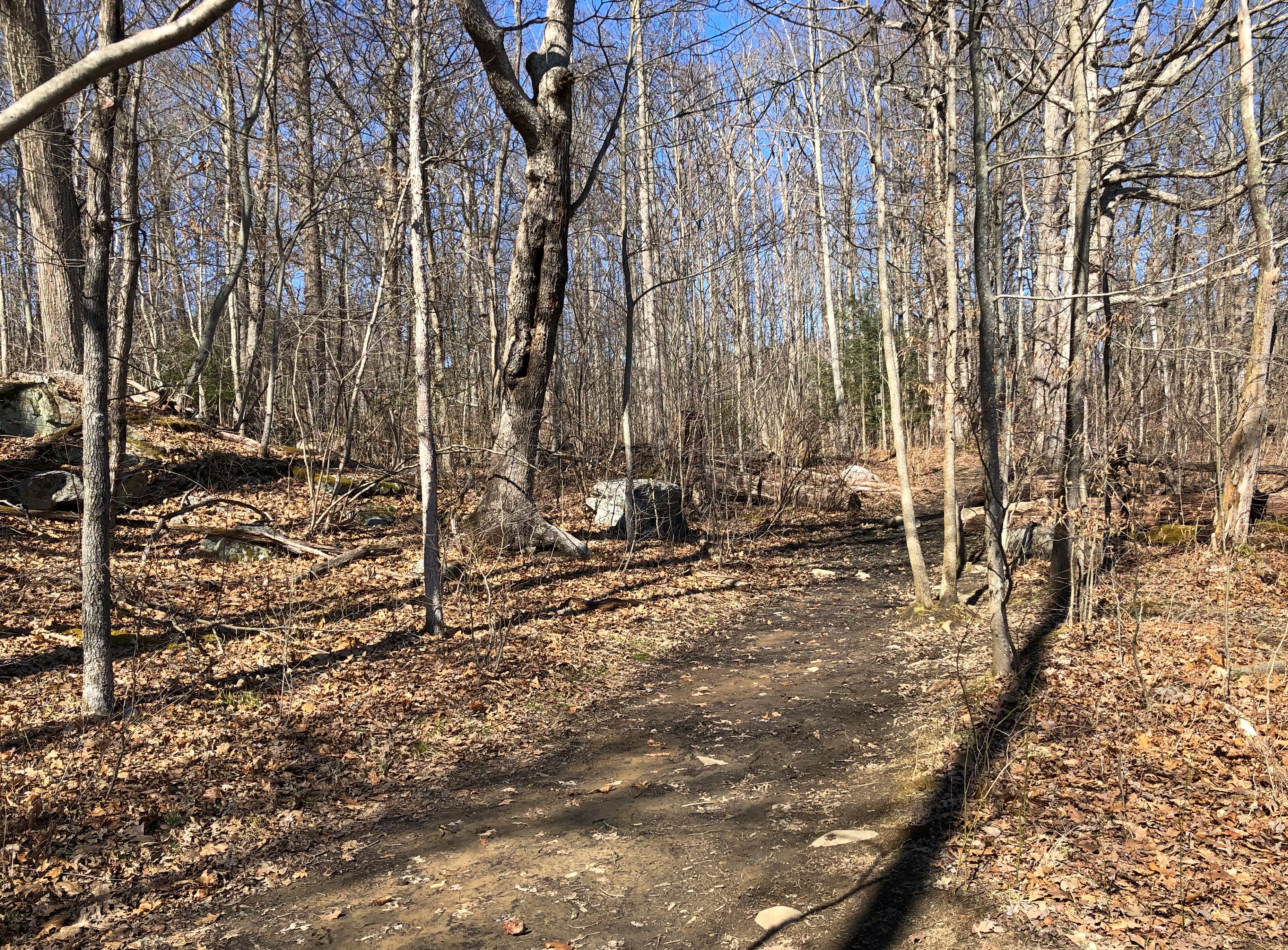
Looked easy enough. Mostly the trail followed the river.Ohiopyle Ohiopyle State Park

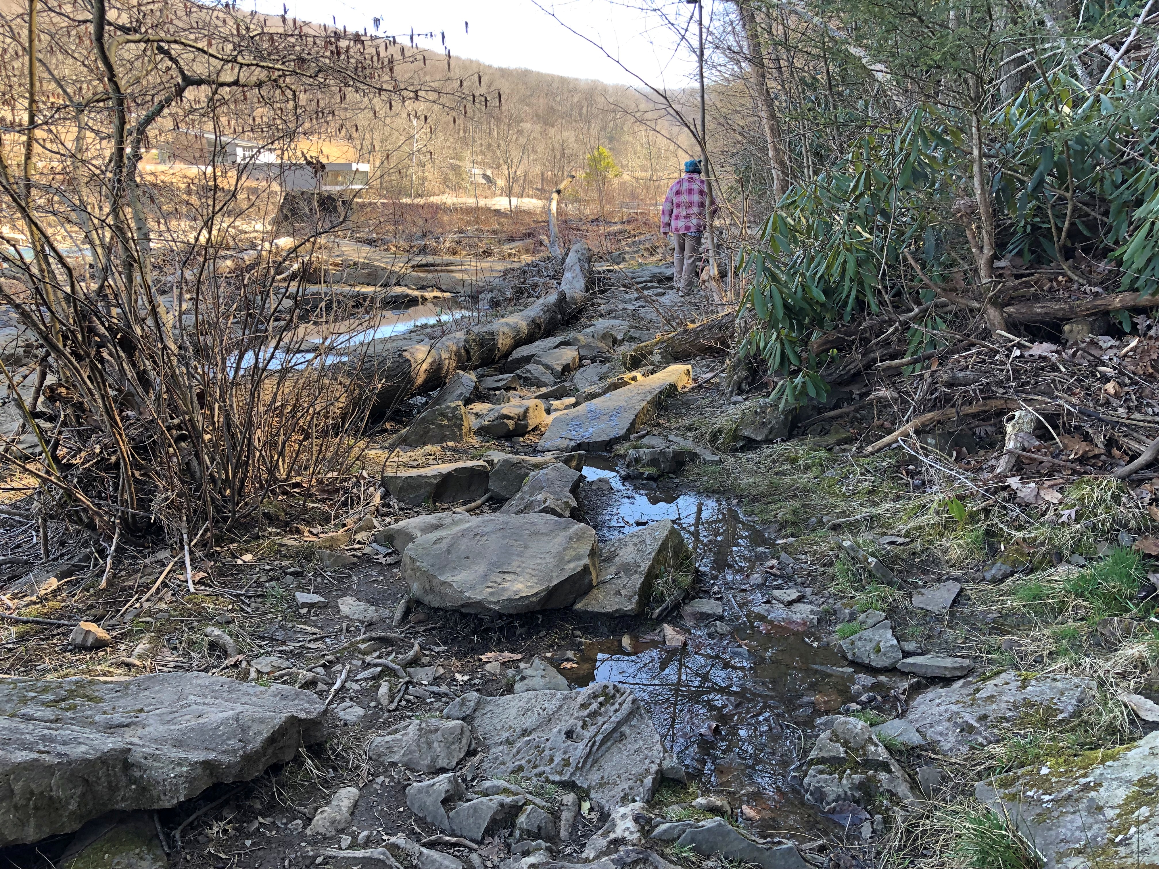
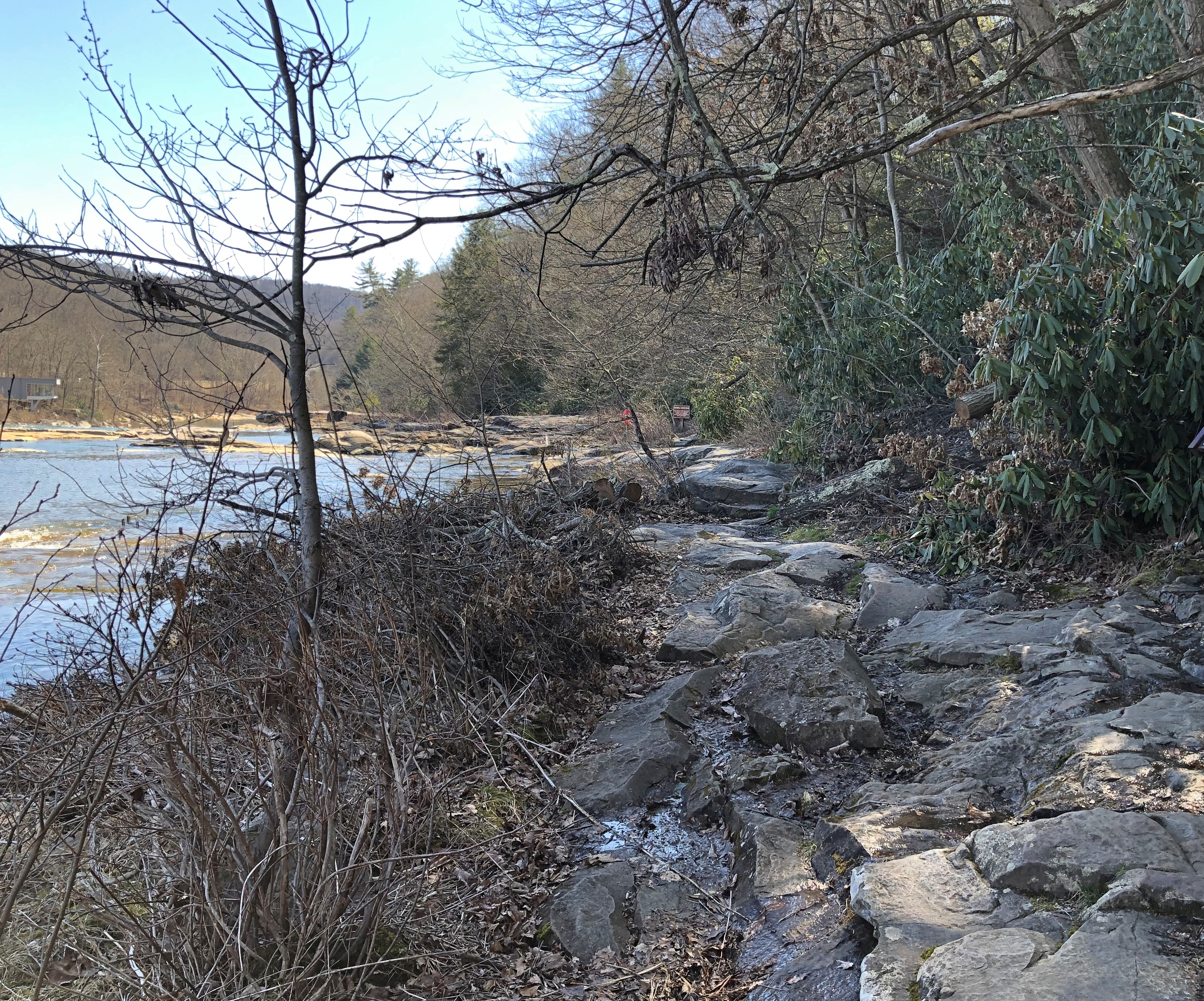
Eventually the trail lost its through-the-woods vibe and offered us rock surfaces and large underfoot stones and mud patches, which slowed us down.Ohiopyle State Park Ohiopyle State Park

Better shoes and our walking sticks were back at the car, so eventually we turned around, but not before getting a close look at the top of Ohiopyle Falls.Ohiopyle Falls

Just another bit of turbulence destined for the Gulf: Youghiogheny, Monongahela, Ohio, Mississippi.

Thanks, Grandma

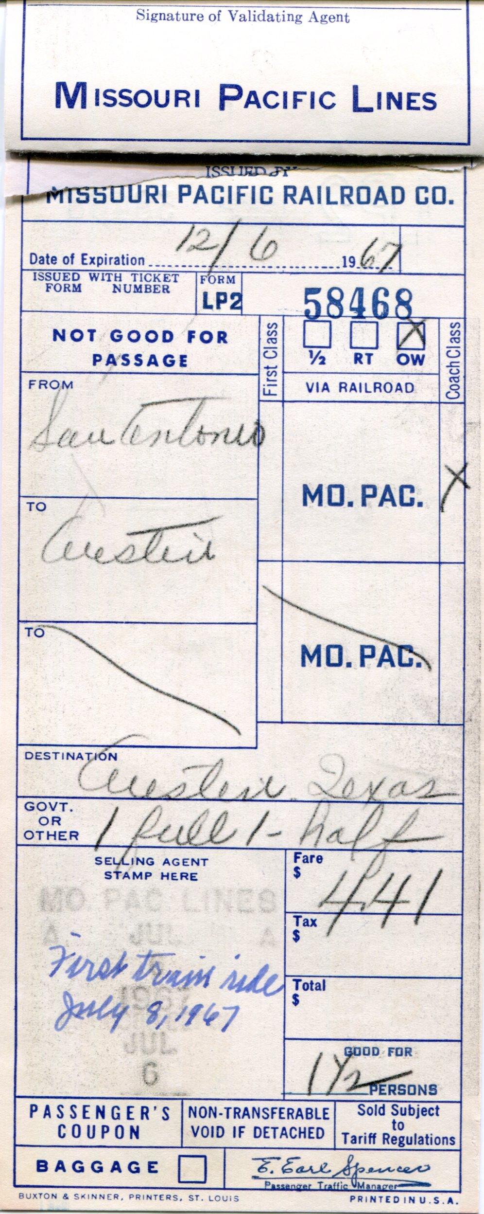
Fifty-five years ago, my grandmother — Grandma, always — took me on a train ride from San Antonio to Austin. I found evidence of it tucked away in an envelope at my mother’s house some time ago.

train ticket 1967

Grandma thoughtfully made a note of the fact that it was my first train ride, and the date: July 8, 1967. I was visiting Grandma for a while that summer, as I did in the years before we lived in San Antonio.

Come to think of it, the next summer while I visited her, my family moved from Denton to San Antonio. (Not the stuff of a sitcom; I knew perfectly well we were moving.) Grandma was the one who first took me to visit the house that my mother had bought, and would live in for nearly 50 years.

I find it amusing that a child counted as half a person for the purposes of train fare. Grandma thus paid fare $4.41 for one and a half riders. Adjust that for inflation, and she paid more than $38 in our current, beleaguered dollars.

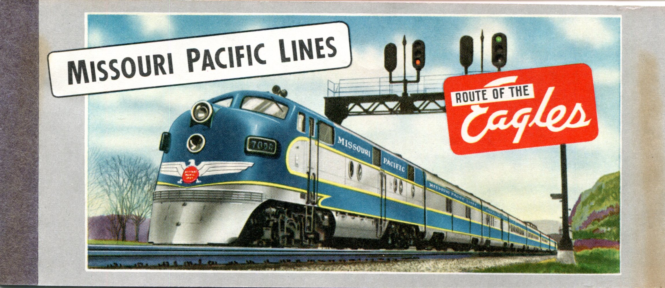
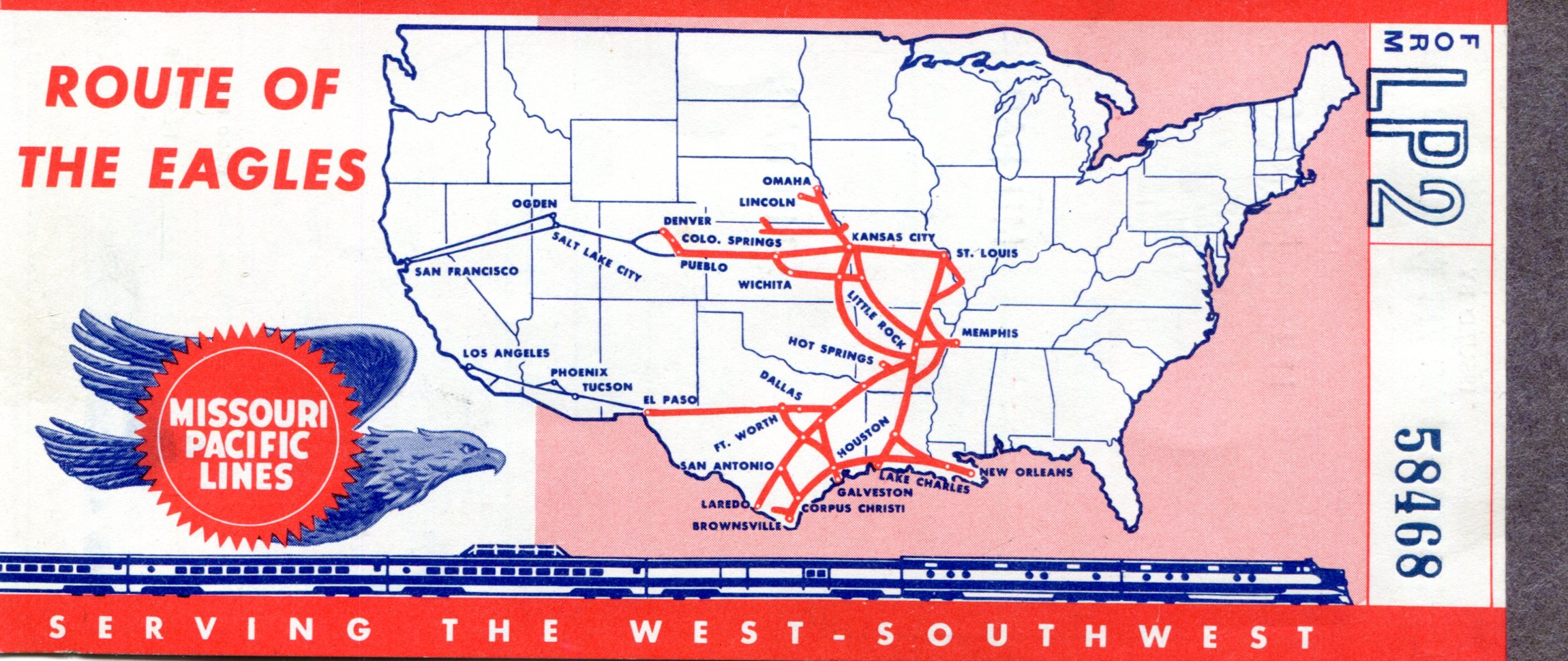
Good old Missouri Pacific. Mopac.train ticket 1967 train ticket 1967

We must have been visiting someone she knew in Austin, but I don’t remember anything about that. I do remember wisps from the ride itself, mostly the view out the window. I’m sure she knew a train ride would be a thrill for a six-year-old.

But there was more to it than that. I also remember that she told me that it might not be possible for me to ride a train when I was older, so she wanted to take me. Certainly Grandma knew, by 1967, that the writing was on the wall for U.S. passenger train service, or at least Mopac. Maybe she wanted a last ride herself, before passenger trains went the way of the buffalo.

(Outdated analogy. Like the buffalo, passenger trains came to a population bottleneck known as Amtrak, rather than total extinction.)

I imagine an older version of myself — not even now, but perhaps from mid-90s — appearing to her and saying, Grandma, I’ve ridden a lot of trains. In Europe and Asia — and once across Russia from Asia to Europe. I’ve taken the bullet train, and even Amtrak from San Antonio to San Francisco in 1990, though it was distinctly second rate.

And those are just the intercity trains. I’ve lost count of how many different subways and light rail lines I’ve taken, but it would be dozens.

She probably would have been a mite skeptical of those assertions.

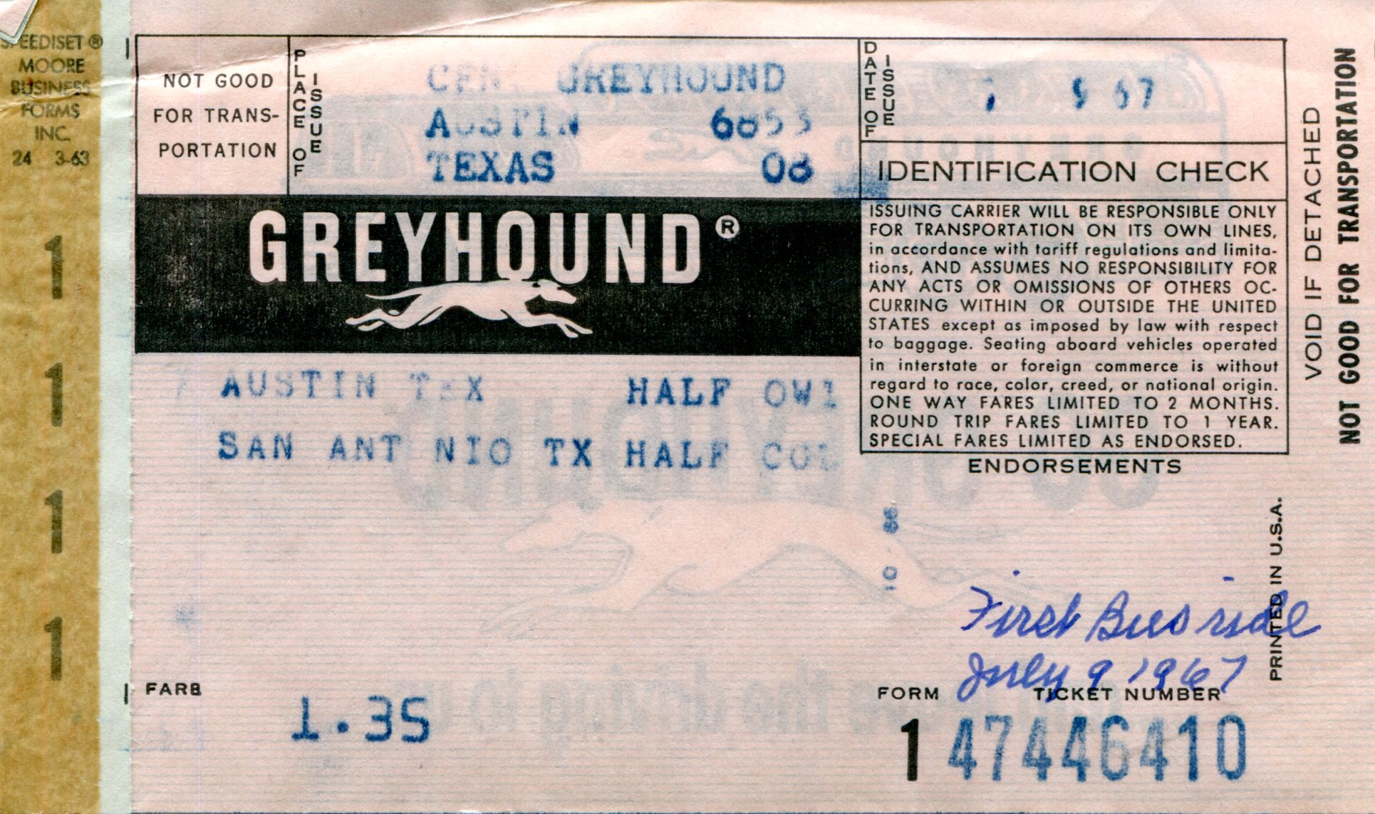
It was a one-way ticket. We returned by bus the next day.bus ticket bus ticket

Go Greyhound. Grandma also noted that it was my first bus ride. She was being thrifty in not taking the train back, I think. The bus fare is recorded as $1.35 (just short of $12 now), though I don’t know whether that was for the two of us or just me. Even if she paid double that herself, that would have been less than the train.

She probably didn’t think buses would quit running. I don’t remember the bus ride at all.

Future me could pop up again: Grandma, I’ve been on a lot of buses, too, in lots of states and countries. I took one across Australia once. But even in America, I’ve gotten around — all the way from Boston to Los Angeles, once, and that was just part of the trip!

Isn’t that nice, she’d say, thinking at least that her grandson has a healthy imagination.

The Road to Salt Lake City

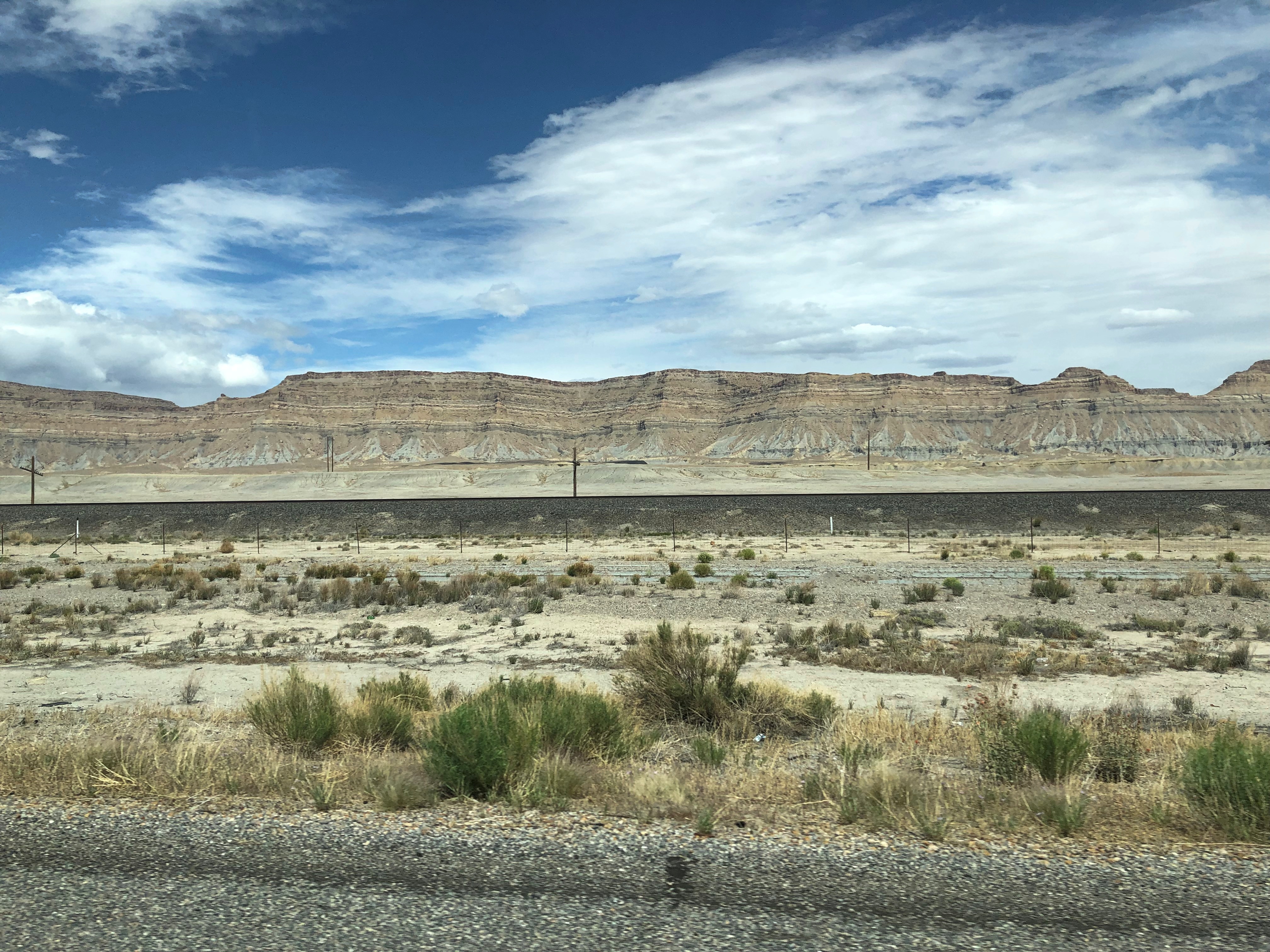
On the afternoon of May 20, we drove from Canyonlands NP to Salt Lake City by way of U.S. 191 (including a short stretch of I-70), U.S. 6 and I-15. The reds and oranges of southern Utah were soon left behind for a more monochromatic sort of desert.Book Mountains, Utah

We stopped briefly in Green River, Utah (pop. a little less than 1,000), to find a bathroom and change drivers. I also spotted something unexpected in the small but green O.K. Anderson City Park.Green River Utah Athena Missile OK Anderson Park

An Athena missile casing, a relic of the nearby Green River Test Site, where the Air Force shot off 141 such missiles from 1964 to 1973, all aimed at the White Sands Missile Range in New Mexico (though one hit Mexico once. Oops).

“The program was developed to study missiles’ re-entry behavior and test anti-ballistic missile defenses through the simulation of the full flight dynamics of an ICBM within the confines of the U.S.,” notes the sign near Green River’s missile. Later (until 1975), the Air Force tested 61 Pershing missiles from Green River and trained U.S. and West German troops on their use at the site. Bet that was a plumb posting for the Germans.

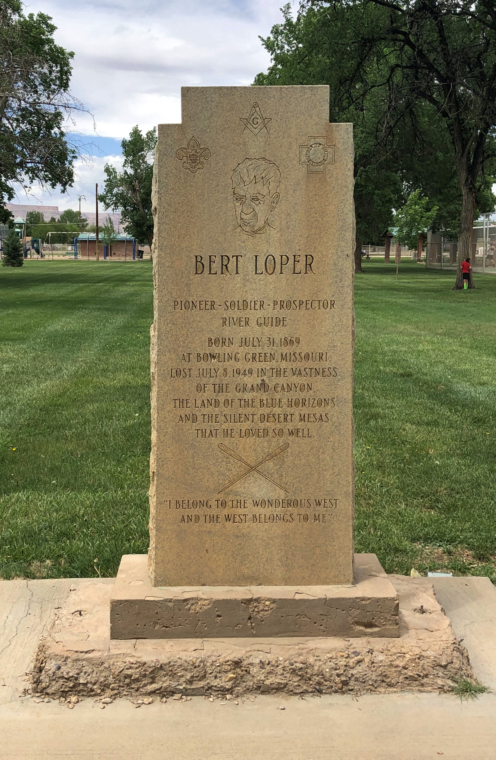
Also in the park: a memorial to Bert Loper, whom I’d never heard of. A pioneer in whitewater river-running. Died at 79 on the Colorado River in the Grand Canyon doing exactly that.Green River Utah Bert Loper Memorial OK Anderson Park

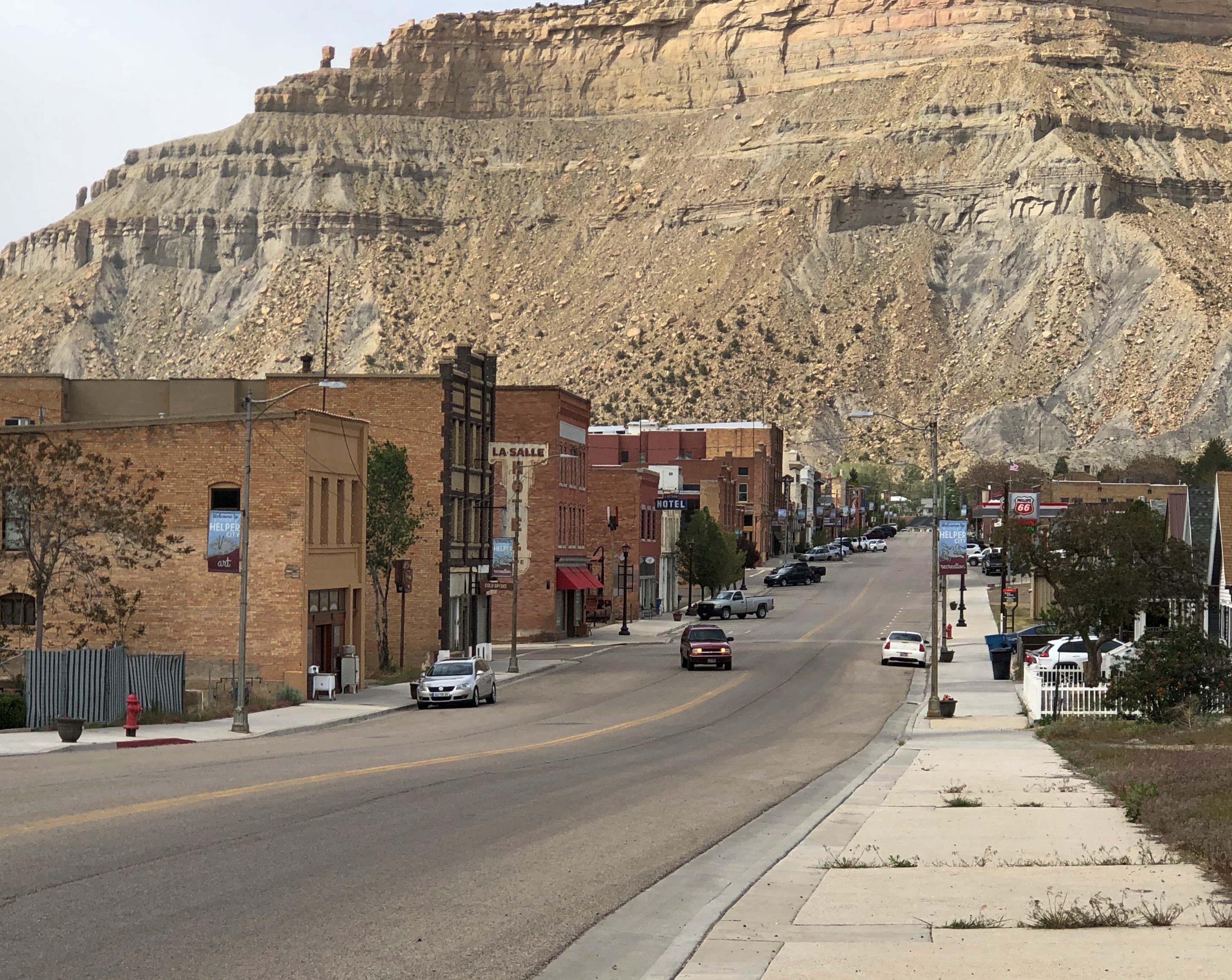
Further north, we made a spontaneous stop in Helper, Utah. Originally a railroad junction, and supposedly named after helper engines kept there by the railroad, Helper thrived on coal mining for many years — it is, after all, in the aptly named Carbon County.

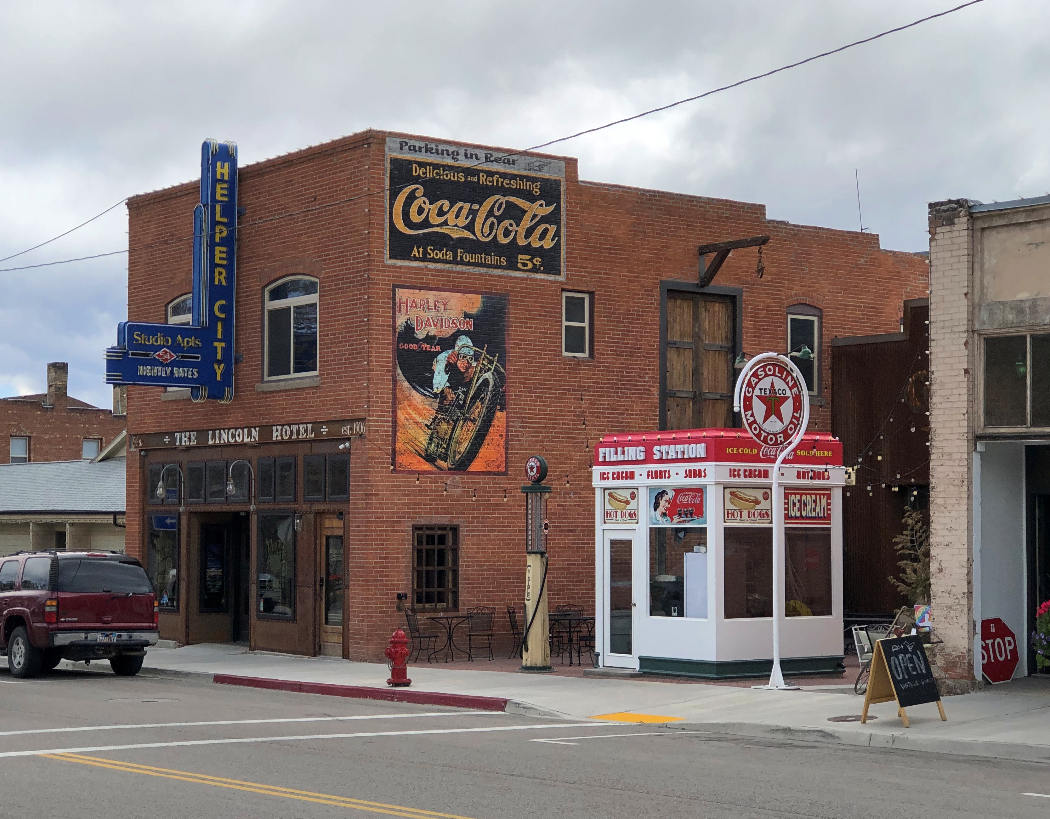
Main Street in Helper.Helper Utah Main Street

Mining still goes on in the county, but these days Helper seems to be evolving into an arts and tourist town, presumably having been discovered by hipsters from Salt Lake City, only 100-plus miles away. Mormon hipsters? Why not? With the way SLC is growing these days, it’s probably producing more hipsters than it needs locally, and so can export them to Utah towns with colorful histories.

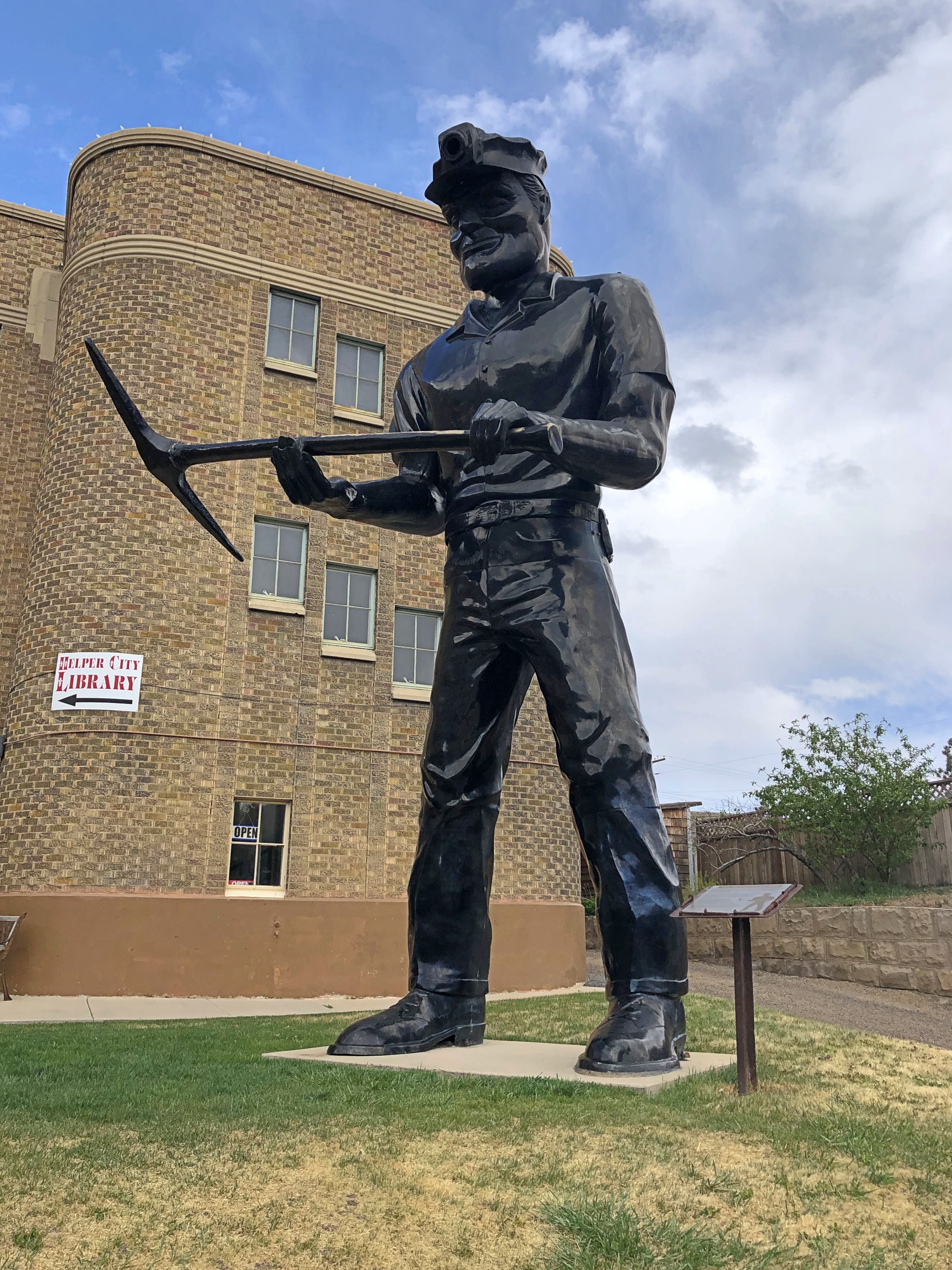
But Helper isn’t going to forget mining. Not if Big John has anything to say about it.
Helper Utah Main Street Big John

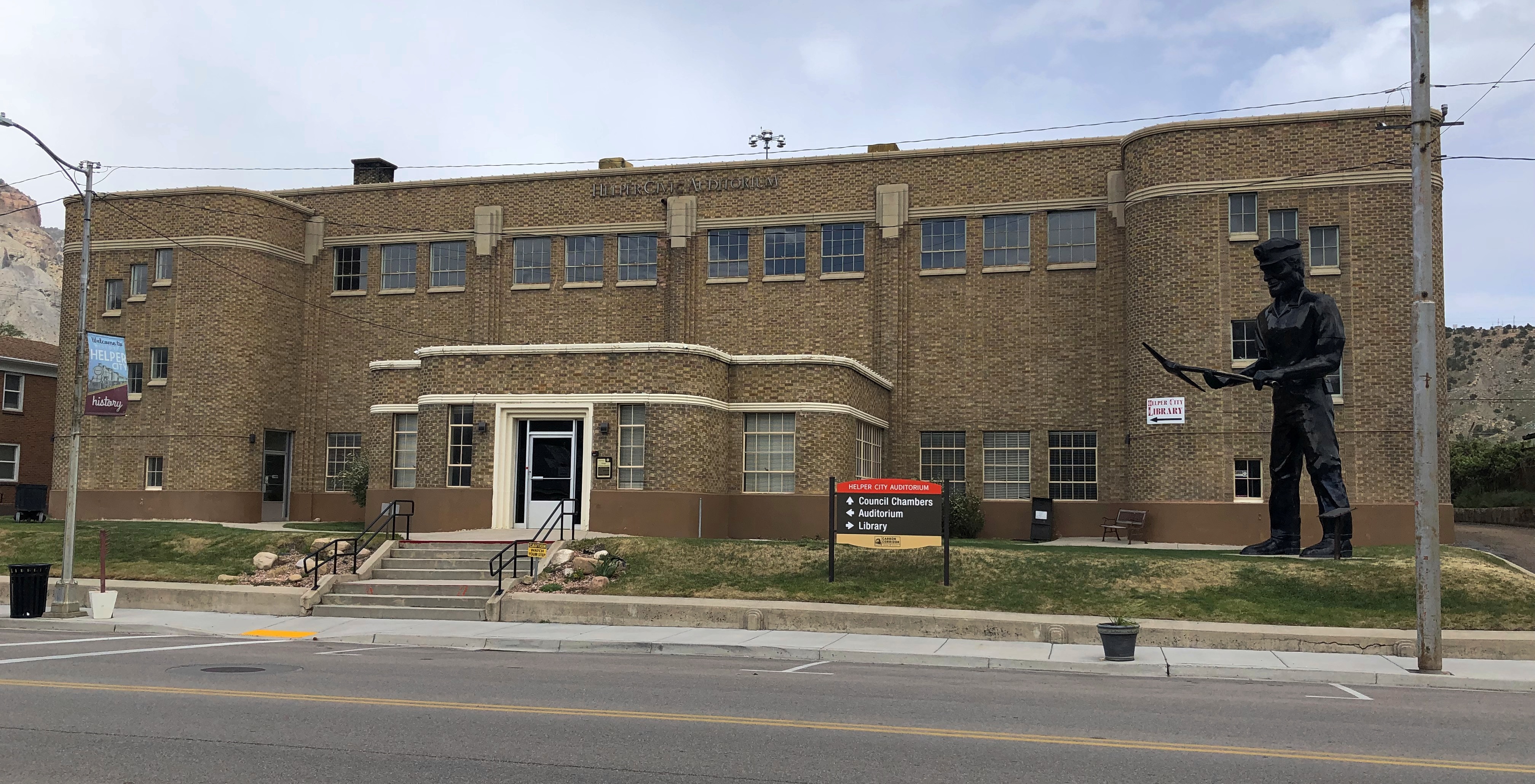
The fiberglass miner has been standing in Helper since the 1960s. He’s in front of the Streamline Moderne municipal building, built by the WPA.
Helper Utah Main Street Big John

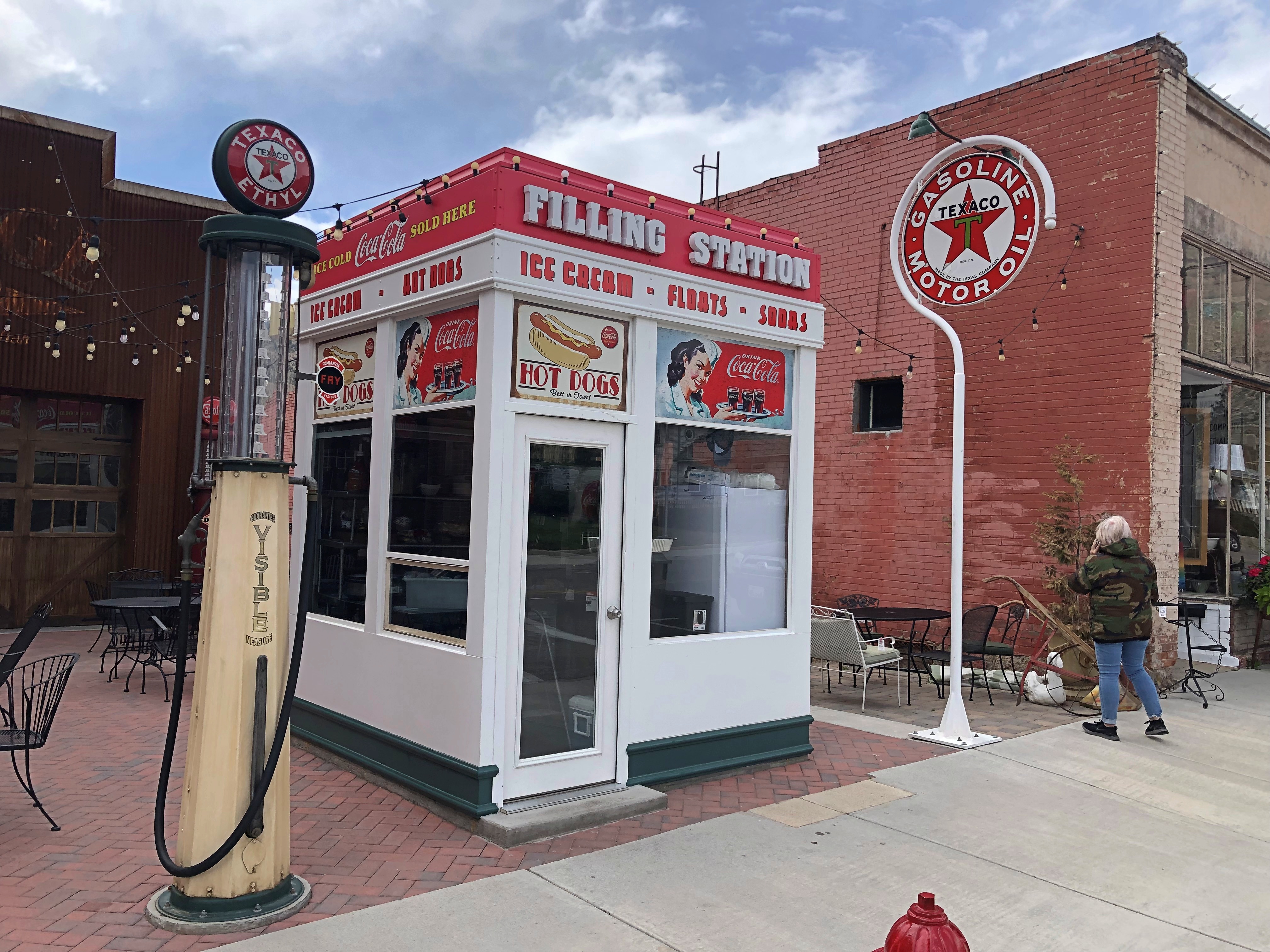
Main Street Helper has examples of both buildings renovated for our time —Helper Utah Main Street Helper Utah Main Street

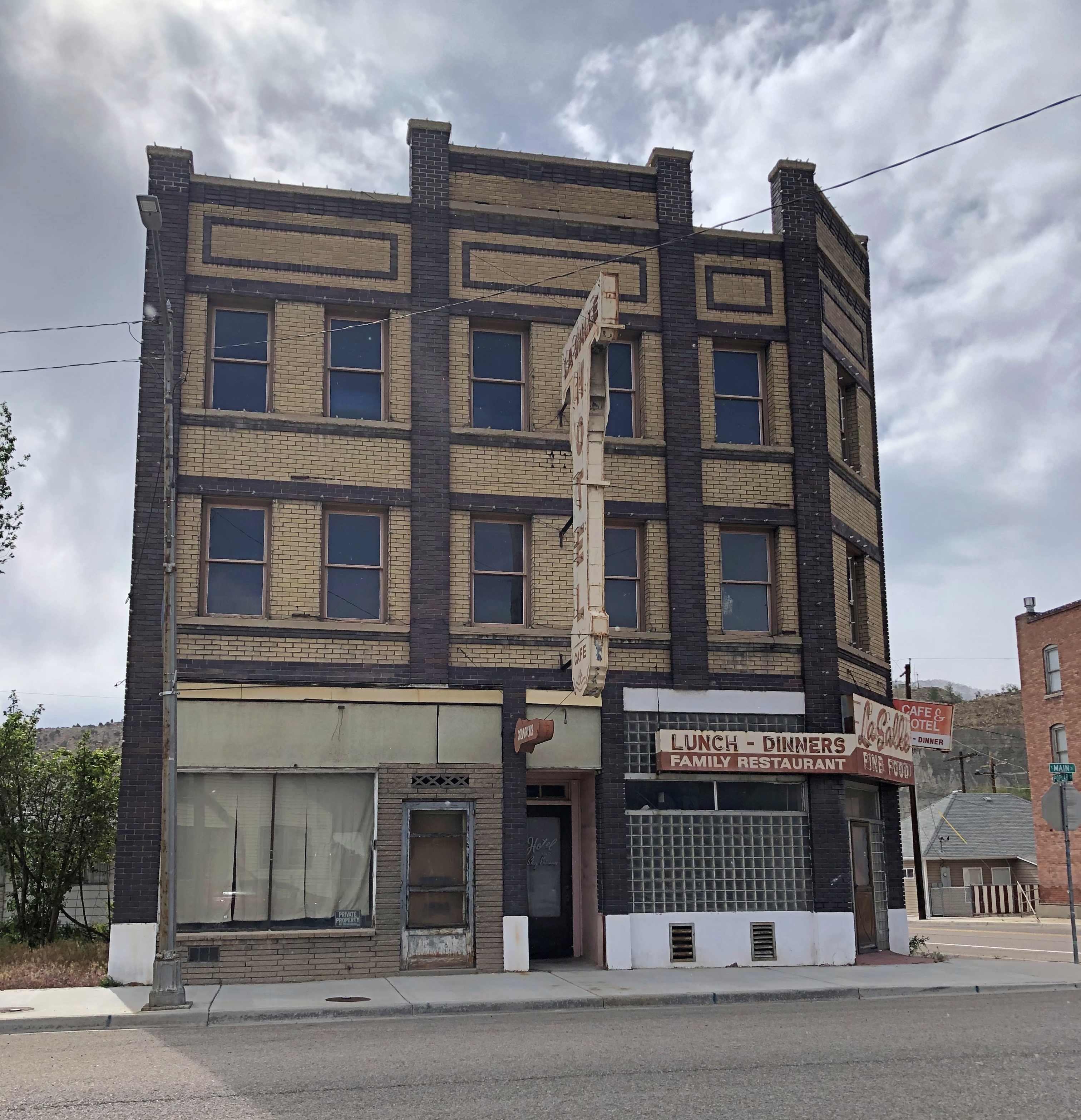
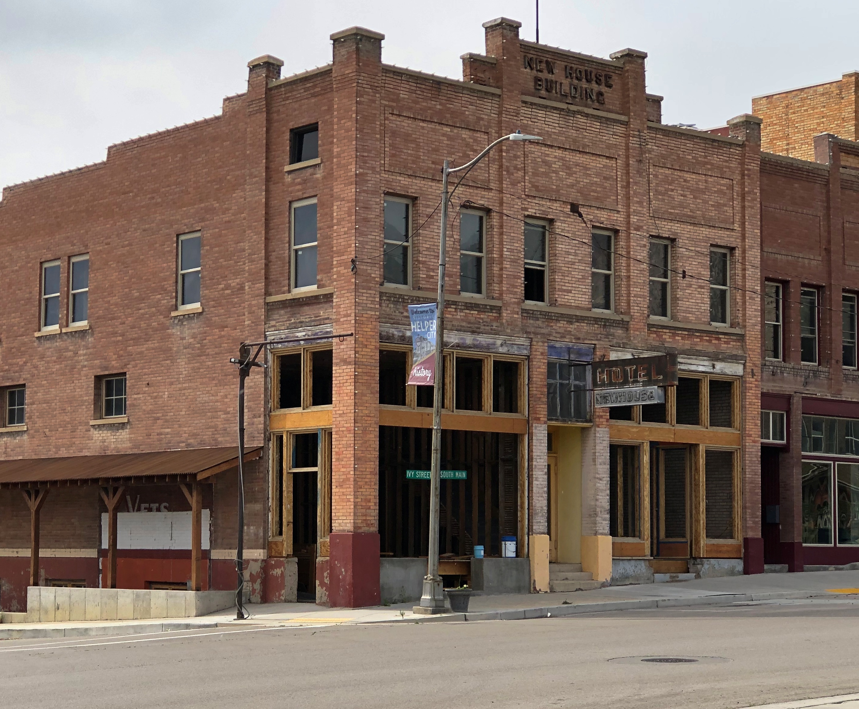
— and those with that potential.Helper Utah Main Street Helper Utah Main Street

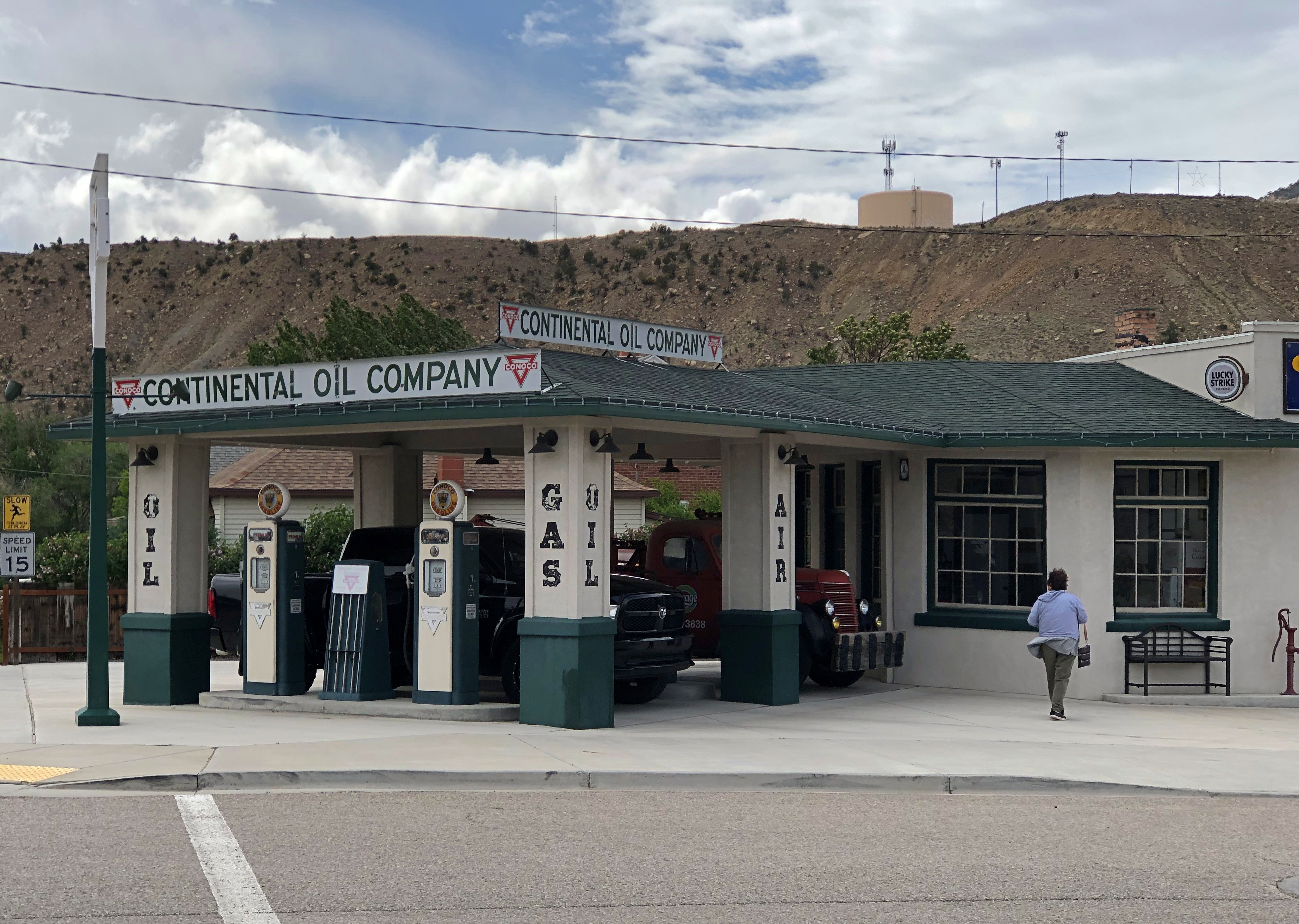
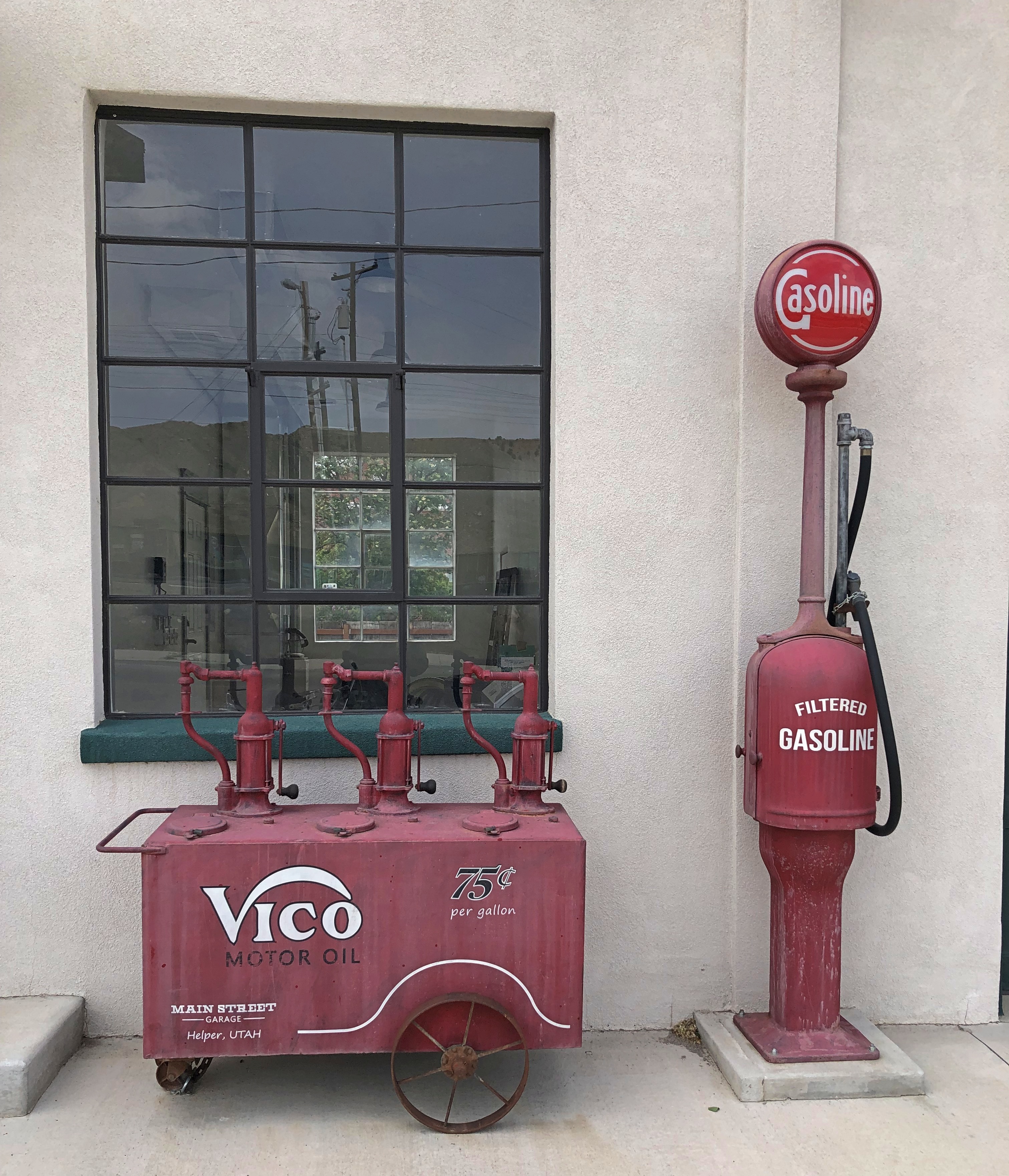
At one end of Main Street is a handsomely restored Conoco filling station.Helper Utah Main Street Conoco Helper Utah Main Street Conoco Helper Utah Main Street Conoco

A sign on the door says the place is listed on Airbnb, so you can stay there.

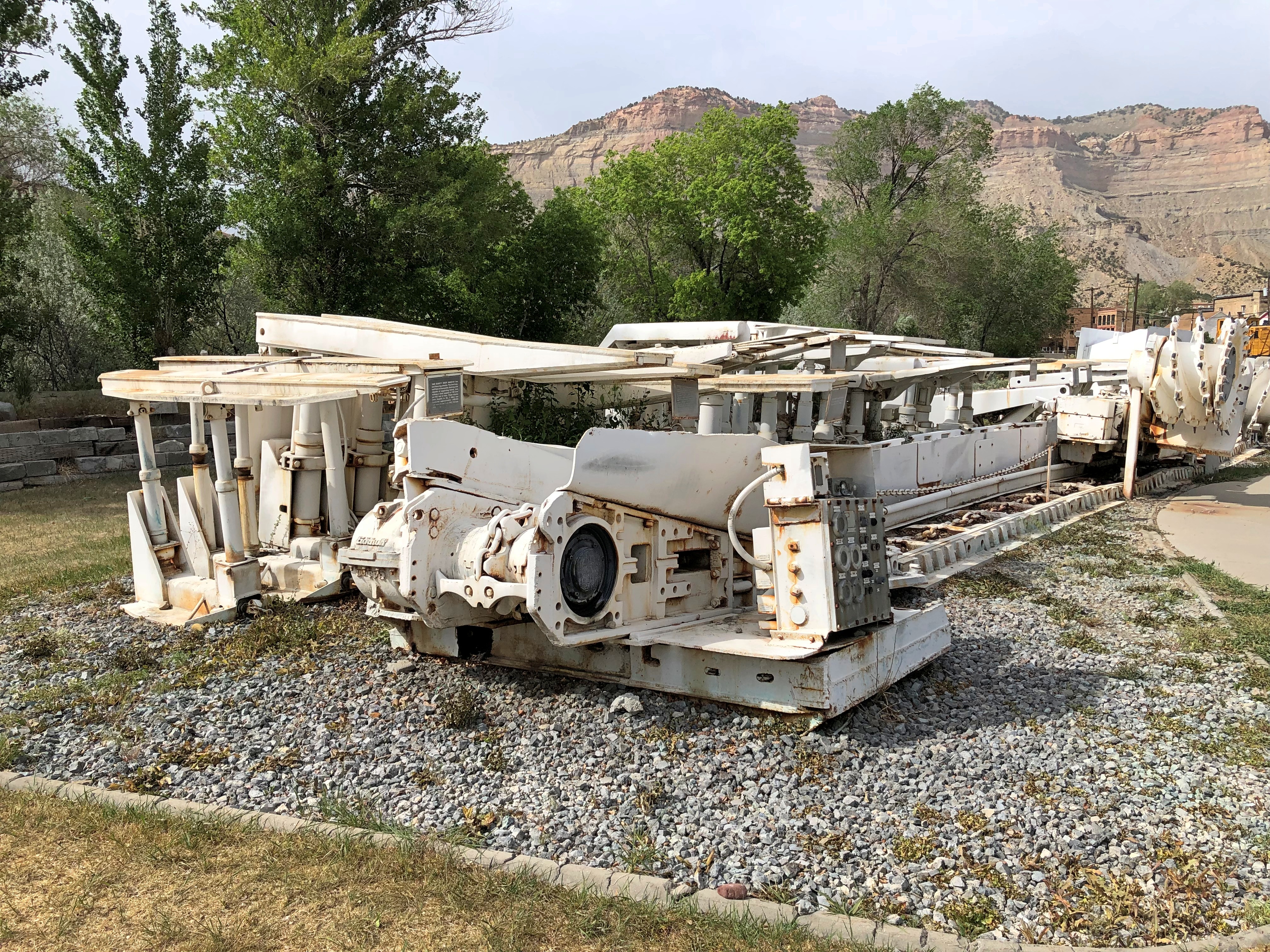
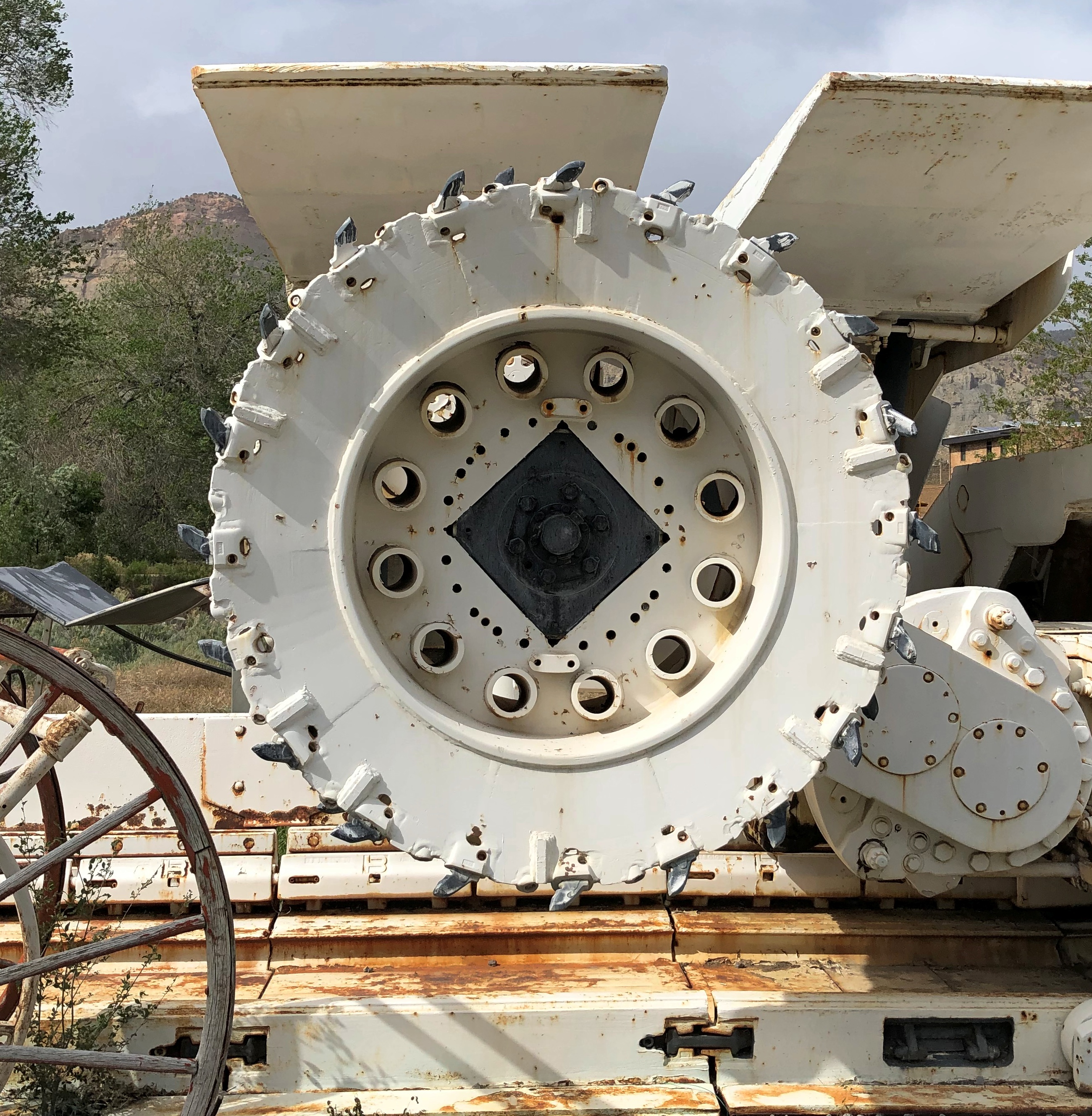
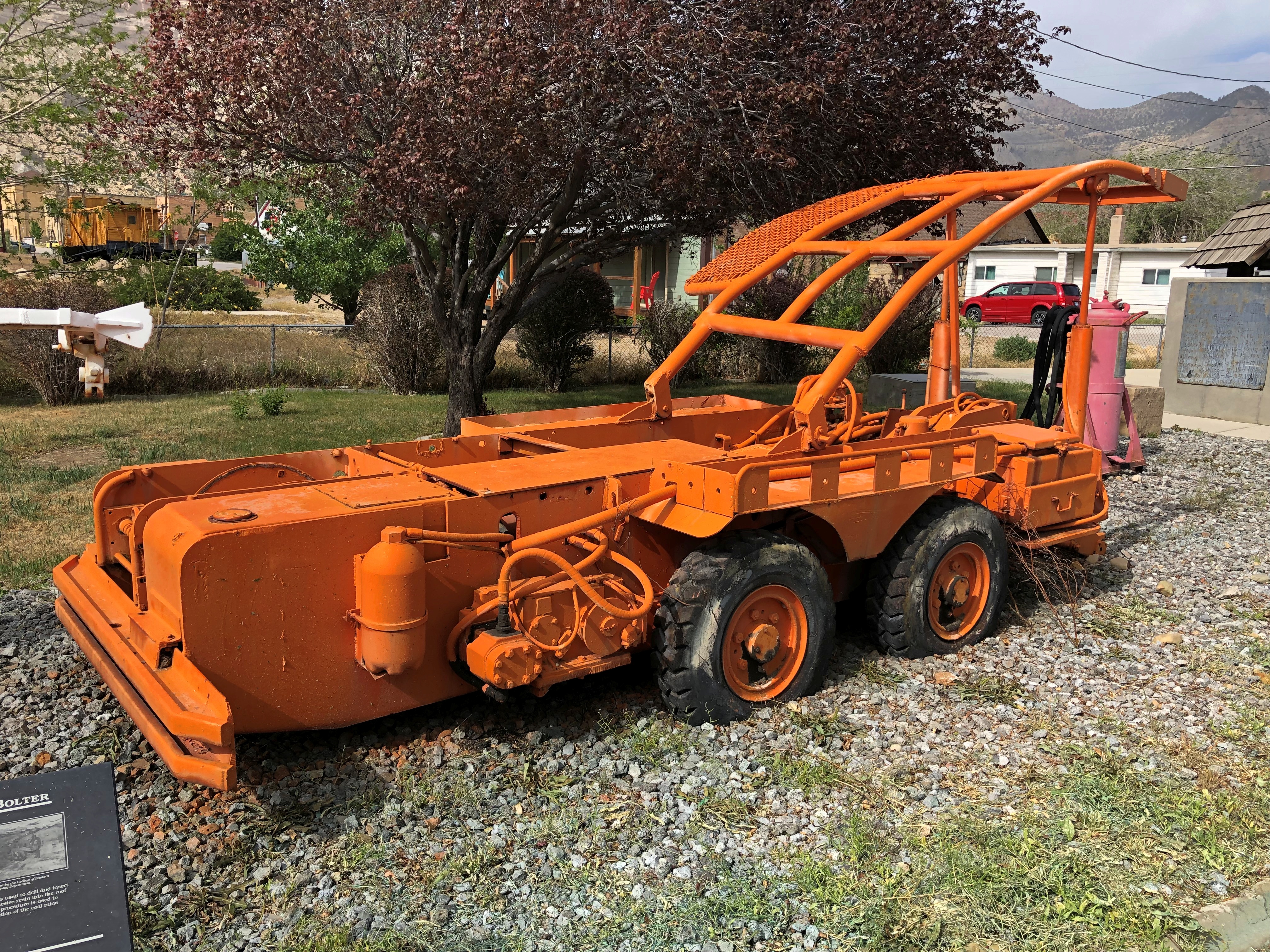
Helper is also home to the Western Mining and Railroad Museum, which was closed when we passed through town. But some of its exhibits are outdoors, on a small lot nearby: mining equipment.Helper Utah Railroad and Mining Museum Helper Utah Railroad and Mining Museum Helper Utah Railroad and Mining Museum

Further north from Helper, at a rest stop on U.S. 6 — Tie Fork Rest Area — is one of the more elaborate historical displays I’ve ever seen at such a place.Tie Fork Rest Stop Tie Fork Rest Stop

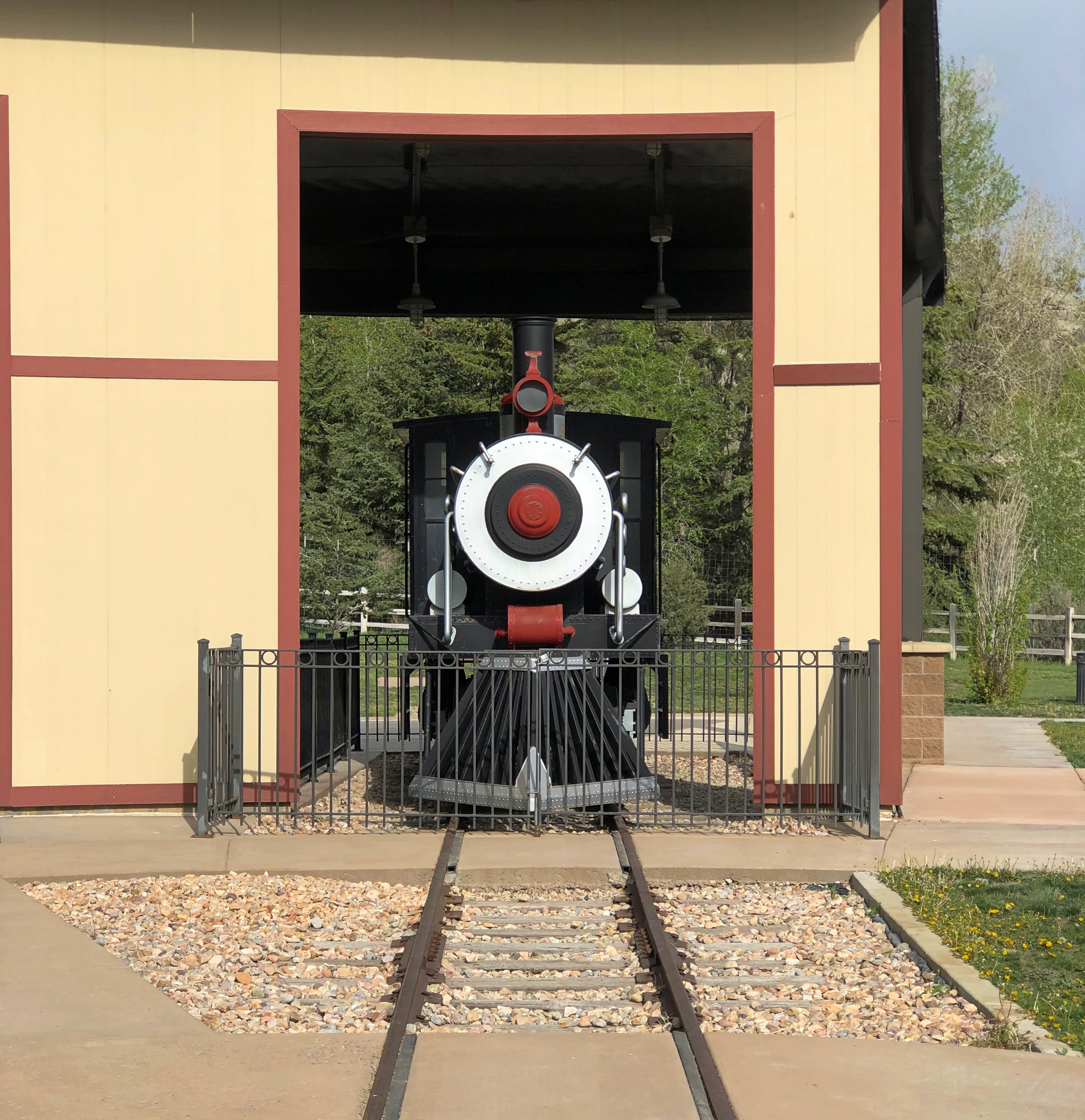
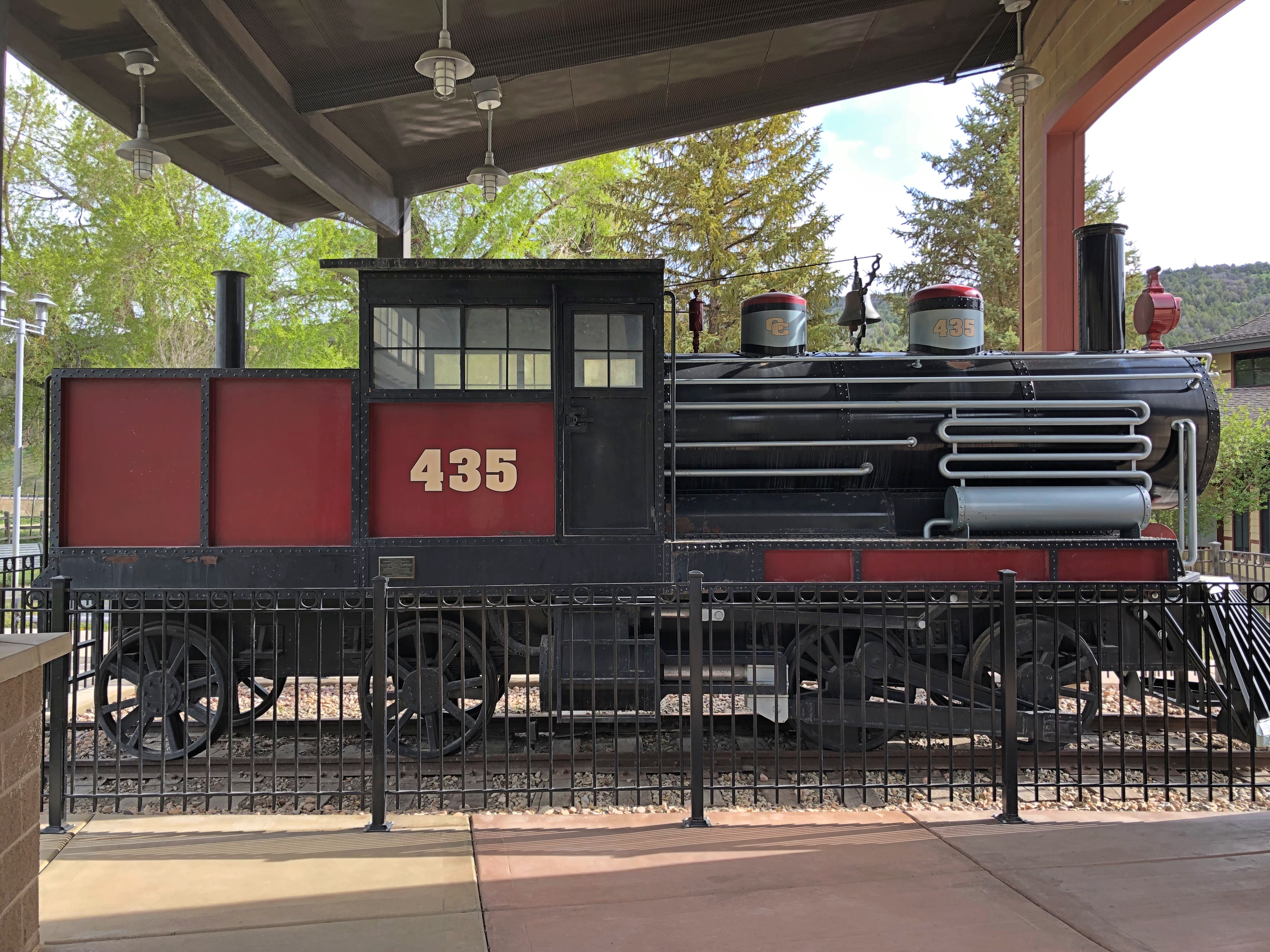
Go for the bathroom, stay to look at the locomotive and the other displays about railroading in Spanish Fork Canyon, which unsurprising involved hauling a lot of coal.

We made it to greater SLC in time for dinner at a place specializing in Korean-style fried chicken. We had a number of inexpensive options for dinner, because we were in a college town.

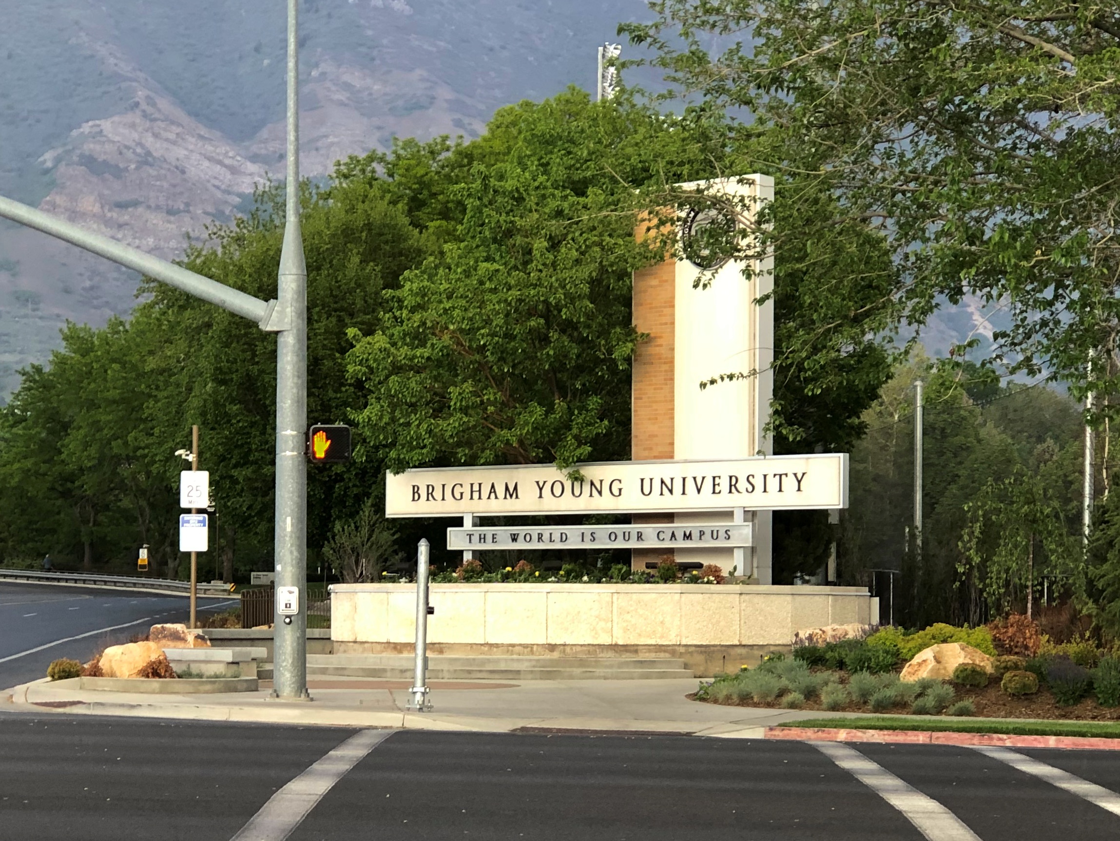
Provo, that is. We took a drive around the BYU campus, a sprawling presence at the base of the Wasatch Mountains: 560 acres with more than 300 buildings. Got the barest glimpse. At that moment, finding and feasting on Korean fried chicken was the priority instead. Travel is like that sometimes.

Alaska 3, Nenana & Warren Gamaliel Harding

One way to get from Fairbanks to the entrance of Denali NP is to ride the Alaska Railroad. In fact, that was the original route for tourism into the interior of Alaska, though I suspect from the 1920s to the early ’70s, most people came up from the port of Seward to access the grandeur of McKinley NP, as it was then known.

I considered taking the train down from Fairbanks myself — the wonderfully named Denali Star. That would have been a cool ride. But the pandemic bollixed up its schedule. Last year, the passenger trains didn’t run. This year, at least as I planned things back in April, service was more limited than it had been before 2020, such that I couldn’t make the train work for me logistically.

That’s how, on July 28, I came to be in a rental car heading west and then south from Fairbanks on the route Alaska 3. I picked the car up at the airport in Fairbanks at noon that day. Along with the other documents, the rental company gave me a list of proscribed roads.

Mostly gravel roads. During my ride on the Dalton Highway the day before, the driver told us that if you look closely, you’ll notice that a lot of cars and trucks in Alaska have cracked windshields. Insurance typically doesn’t cover that kind of damage, since gravel roads tend to dish it out too regularly.

The list is interesting for another reason, in that it gives names instead of route numbers. Most Alaska highways, it seems, are known by their names rather than numbers. I asked the bus driver on the Dalton whether that road had a number, and he had to think before he told me. It’s Alaska 11, but no one calls it that, and I didn’t see any signs along the way using the number.
In Fairbanks and a little ways south, I also drove on Alaska 2, but the signs called it the Steese Highway (not to worry, I was well south of Mile Post 81).

Later I learned that Alaska 2, the Steese, is the Alaskan portion of the Alaska Highway. I smile at the thought that I’ve driven on the Alaska Highway, even if only about 12 miles of it between Fairbanks and the town of North Pole.

As for the road between Fairbanks and Denali NP, its name is the George Parks Highway, named for a mining engineer and governor of the Alaska Territory in the 1920s and ’30s. Remarkably, he lived to see his name attached to the road, since he died at age 100 in 1984.

I didn’t see too many signs calling it the Parks Highway, though. Mostly I saw the Alaska 3 signs, featuring the state name, the number, and the Big Dipper and Polaris, arrayed as they are in the northern sky and the Alaska flag. An excellent design, one that made me think, damn — I’m in Alaska. For miles at a time, those were the only signs I saw. The road the was remarkably free of most the signage you might see elsewhere: directional signs, mileage signs, billboards and so on.

Alaska 3 was mostly a two-lane shot through the boreal forest. The terrain between Fairbanks and Denali NP, which runs about 125 miles, follows the Tanana River, and then passes by the Minto Flats and the Tanana Flats, so it isn’t a mountainous crossing. I suppose that facilitated the road’s construction, completed only 50 years ago.

That isn’t a long drive, certainly not for someone who learned to drive in Texas. But it was mesmerizing in a way that few roads are. Traffic was light, so my eyes were able to wander sometimes from the road ahead to the forested expanse on either side.

The were a few directional signs. My favorite.

Alaska 3

That was at an intersection with Alaska 3 in the town of Nenana, the only settlement of any size (pop. 341) between suburban Fairbanks and the tourist town of Healy, just north of the entrance to Denali NP.

The road crosses the Tanana River at the town of Nenana, very near where the Nenana River — which I would see later, near the national park — joins the Tanana, on its way to the Yukon River.Nenana, Alaska
The other bridge in the town of Nenana (across the Tanana River) is the Mears Memorial Bridge, which takes the railroad across the river. More about that shortly.

Nenana seemed like a good place to look around. Near the highway is a cluster of tourist and memorial structures, including a boat out of water, the Taku Chief.Nenana, Alaska Taku Chief
The nearby sign says: “The last commercial wooden tug to ply the Yukon and Tanana River Basins, the Taku began her career in 1938 in Southeast Alaska. After 7 years in service she was requisitioned by the CAA for use on the rivers of the Interior. In 1956, she joined the fleet of Yutana Barge Lines, and after a colorful history, the sandbars and sweepers finally took their toll. On July 18, 1978, she was condemned. She rests in her last port, Nenana, a tribute to the heartbeat of Alaska transportation.”

Near the ship is another casting of the James Grant work memorializing the Alaska Territorial Guard, 1942-47.Nenana, Alaska - Alaska Territorial Guard, 1942-47

The town’s main street (besides the highway) is A Street, with a scattering of houses, buildings, abandoned buildings and empty lots. The pandemic might have done in this business; or maybe it closed before then.

Tenana, Alaska

St. Mark’s Mission church.

Tenana, Alaska - St. Mark's

“The Episcopal Church, continuing work done by Episcopal and Anglican missionaries along the Yukon River, envisioned a series of missions throughout the Tanana basin to serve its Native population,” Sketches of Alaska says. “Eventually four missions were established: St. Barnabas at Chena Native Village, Luke’s at Salcha, St. Timothy’s at Tanacross (near Tok), and St. Mark’s at Nenana…

“The picturesque church is similar in design to other Episcopal mission churches throughout Interior Alaska — a log structure with gable front and bell tower. The 22-foot by 28-foot building is constructed of logs squared on three sides, with the bottom courses of logs flaring outwards. Gothic arched windows contain stained glass, and the building is topped by a shake roof.”

At A Street and Front Street near the Tanana River is a curious tower.Nenana, Alaska - tripod

I didn’t look that up till I got home. I’d assumed it was some kind of winter sporting event, but no. Wiki: “The Nenana Ice Classic is an annual ice pool contest held in Nenana, Alaska. It is an event in which individuals attempt to guess the exact time the Tanana River ice will break up at Nenana.

“The ‘tripod,’ which actually has four supports, is planted on the river ice between the highway and railroad bridges in Nenana, 300 ft from the shore… A line is attached to the top of the tripod and once that end is anchored the other end is taken to the Ice Classic tower nearby on the banks of the river. Attached there to the clock inside the tower, when the ice goes out and moves the tripod 100 feet the line breaks and stops the clock.”

The pool is no small potatoes. According to the pool web site, the prize money in 2021 totaled $233,591. The clock stopped on April 30 at 12:50 pm and the prize was split among 12 winners. The rest of the funds generated by the pool go to local charities.

The Wiki photo of the tripod looked awfully familiar. Then I remember that I’d seen the tripod, standing next to the tower (and there was another one near the Taku Chief). There was nothing to explain what they were. Tourist photographer that I am, I took a picture of one of them anyway.

Nenana, Alaska - tripod
Finding out what it was produced a bit of mild amazement, here during the post-trip writeup. What a fun thing to learn about, like the Sopchoppy Worm Gruntin’ Festival. How often do we look at things on the road, or near home for that matter, without the slightest idea what they are?

At the meeting of A Street and Front is the handsome Nenana depot, which still seems to be a stop on the Alaska Railroad, but it’s also the State of Alaska Railroad Museum. It was closed when I got there.Nenana, Alaska - depot
Nenana, Alaska - depot

Next to the depot is a plaque and, I assume, the same golden (colored) spike that Warren G. Harding pounded on July 15, 1923, to mark the completion of the railroad. The last part completed was the Mears Memorial Bridge.Nenana, Alaska - Warren Harding golden spike

The Anchorage Daily News published an article a few years ago about presidential visits to Alaska. “The most ambitious trip to Alaska, by far, was Harding’s,” the article says. “He departed from Seattle on July 5, 1923, and returned to Vancouver, British Columbia, on July 16, 1923. During his tour he spoke in Metlakatla, Ketchikan, Juneau, Skagway, Valdez, Seward, Anchorage, Nenana and Fairbanks, among other stops.”

President_Harding_in_Alaska_on_Presidential_Train
At that moment, he was running out of days, though neither he nor the nation knew it. President Harding died in San Francisco on August 2, 1923, not long after his visit to Alaska.

Boscobel & Fennimore

Road trips aren’t just about the destination, but sights and oddities along the way. Recently in southwestern Wisconsin, for instance, we stopped in Boscobel, looking for takeout. We found it at Udder Brothers Creamery. How could we pass up a place with a giant cow? Also, a giant wild turkey?

Note that the turkey not only proclaims Boscobel as Wisconsin’s Turkey Hunting Capital, but as Birthplace of the Gideon Bible as well. We wanted to be on our way, so we didn’t investigate that further at the time.

But now I know: “The birthplace of the Gideons was the Central House Hotel on September 14, 1898, in Boscobel, Wisconsin,” says Wisconsin Historical Markers. “Traveling salesmen John H. Nicholson of Janesville, Wisconsin, and Samuel E. Hill of Beloit, Wisconsin, shared a room in the crowded hotel because of a lumberman’s convention.

“In Room 19, the men discovered that they were both Christians; they talked about starting a Christian traveling men’s association. The following May the two salesmen, joined by a third, William J. Knights, rekindled that idea, and on July 1, 1899, founded the Gideons.”

Dang. I should have at least found the plaque. Down the road from Boscobel is Fennimore, another Badger State burg we passed through. Hunger wasn’t the main consideration there, so we spent a little more time, especially at a small park featuring The Dinky.
Fennimore, Wisconsin train
It’s a narrow-gauge (3-ft.) locomotive in operation from 1878 to 1926. “Trains ran daily between Fennimore and Woodman by way of Werley, Anderson Mills and Conley Cut, meandering 16 miles through the Green River Valley,” its historical marker says.
Fennimore, Wisconsin train
“At the peak of narrow gauge operations, the state had 150 miles, some used in logging operations in northern Wisconsin, now all abandoned.”
Fennimore, Wisconsin train
Narrow gauge, for sure.